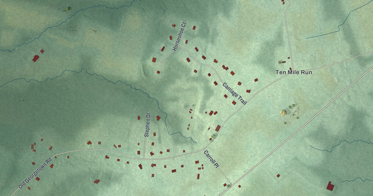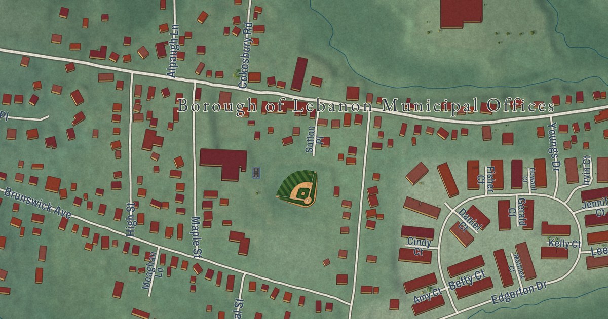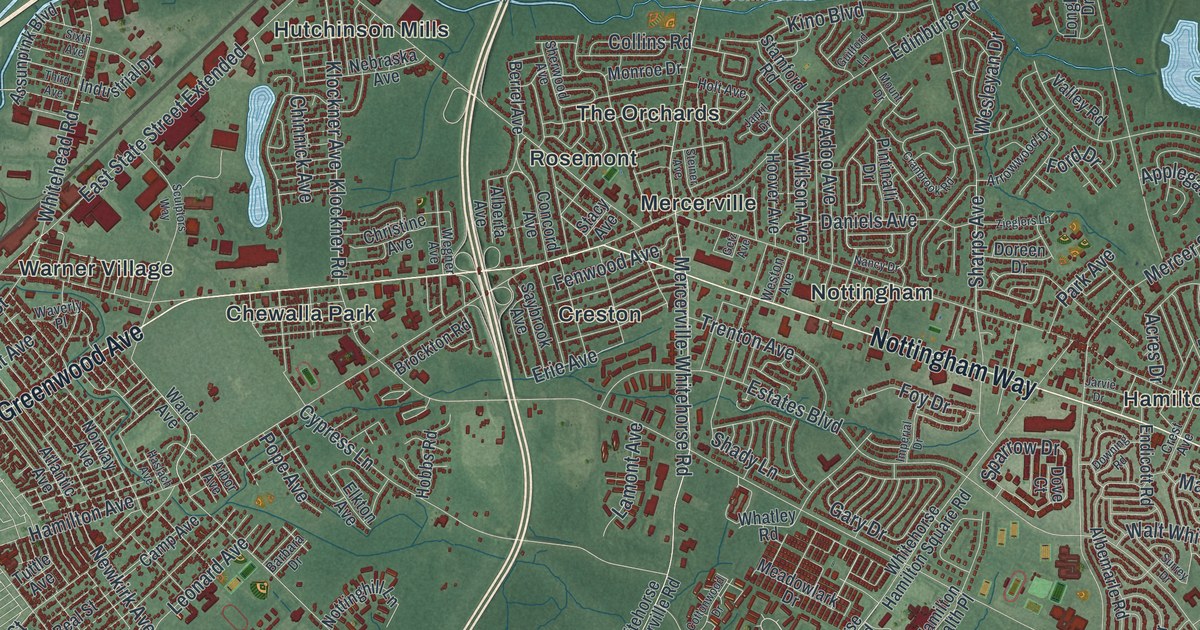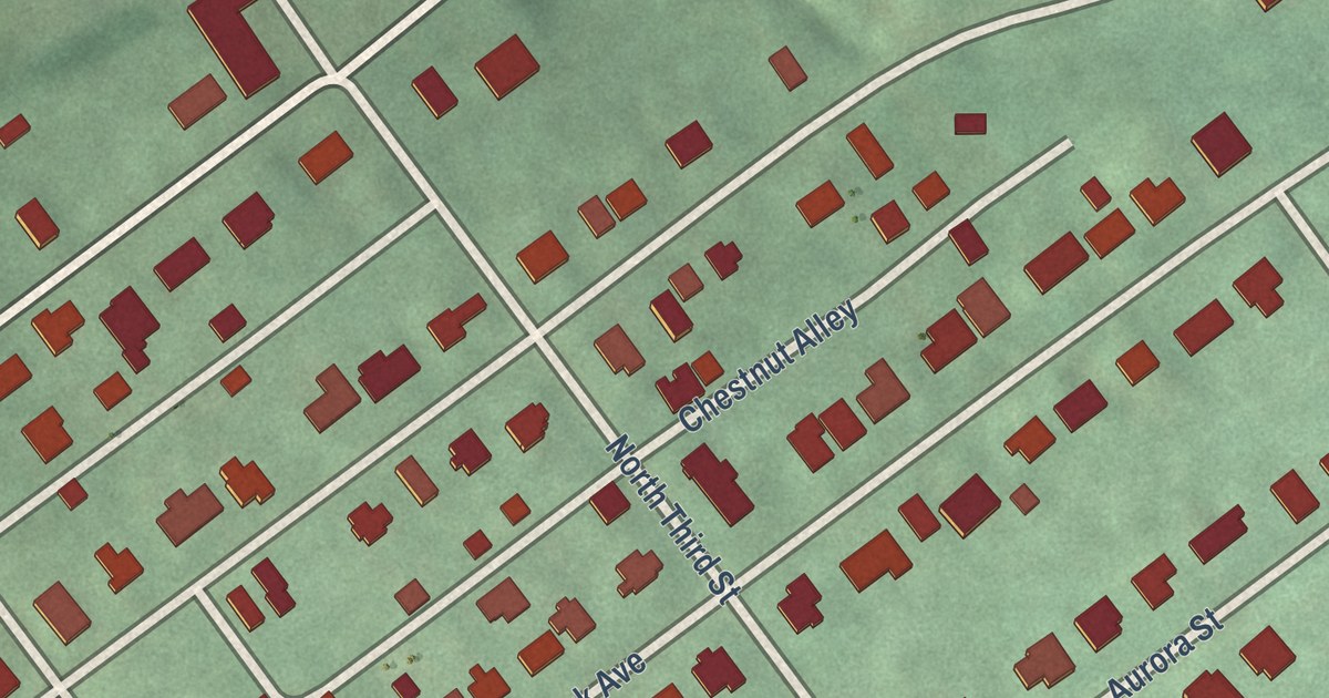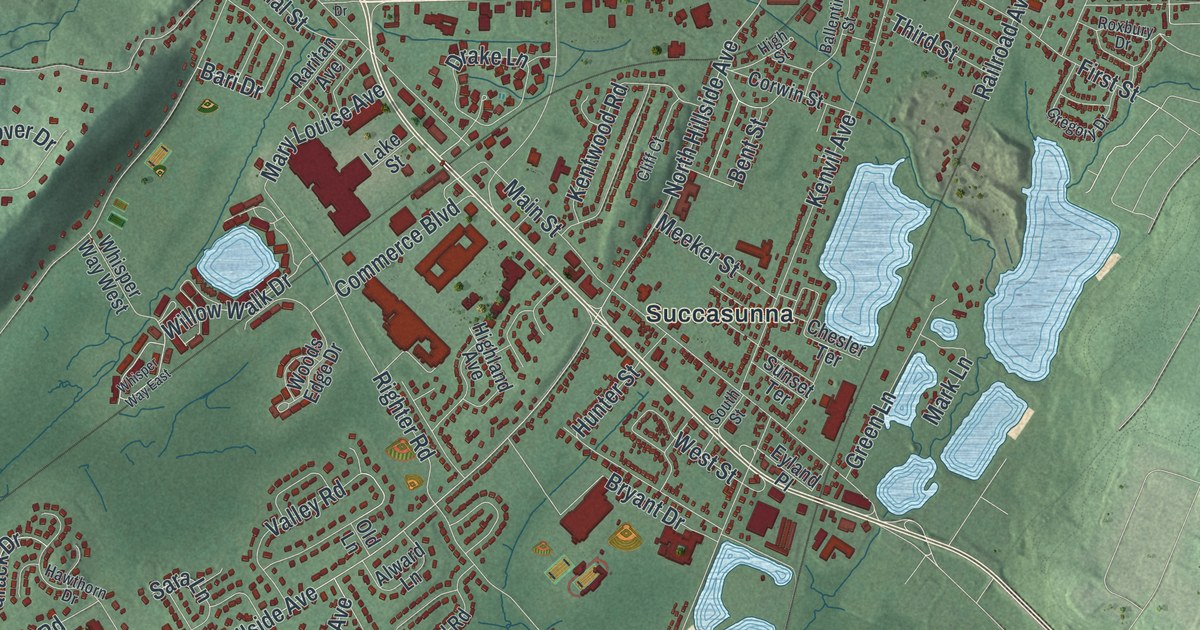
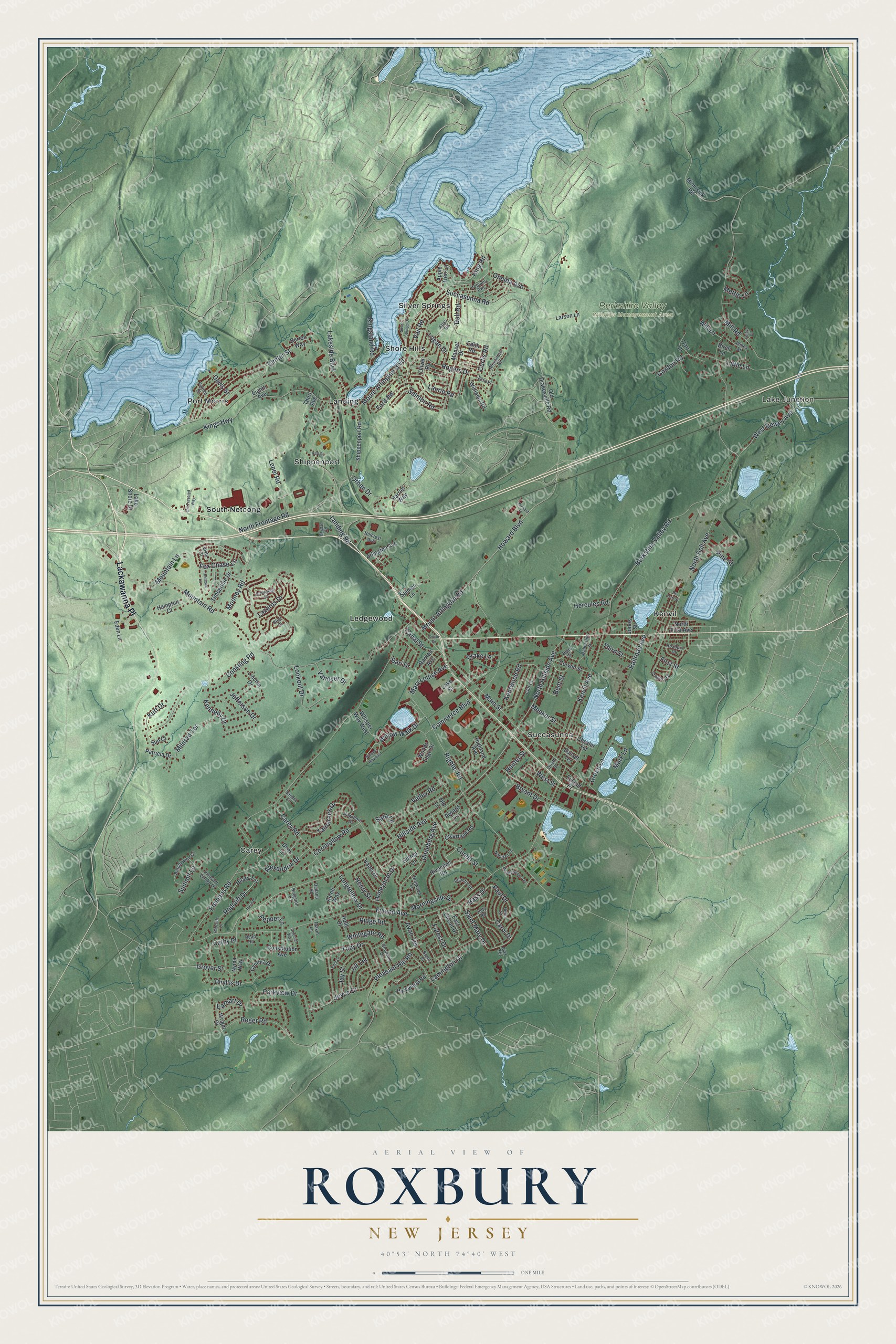
This beautifully detailed map of Roxbury, New Jersey was created in 2026 using aerial imagery combined with modern topographical, census, street and landmark data. It’s a one-of-a-kind view of Roxbury that combines accurate data with a vintage aesthetic. The map shows every building in its true location, many of the roads carry their names, and the shaded topographic relief shows the shape of the land.
Explore an aerial view of Roxbury, New Jersey
On the map you’ll find Lackawanna Place, Lake Junction, Carey, Kenvil, Landing, Ledgewood, and Berkshire Valley Wildlife Management Area, along with Mount Arlington Boulevard, Lakeside Boulevard, Hillside Avenue, Saint Mary Drive, and more. If you look closely you can even find your house accurately drawn in its correct location. Zoom in on the preview to look for yours.
Did You Know?
Tom’s Diner in Roxbury was featured in a music video by singer Cyndi Lauper. The diner was built in the 1940s and stood empty for many years. It was torn down in 2021.
Take a closer look at the Roxbury map
Names on this map
These names are printed on this map.
Places: Lake Junction, Berkshire Valley Wildlife Management Area, Carey, Kenvil, Landing, Ledgewood, Port Morris, Shippenport, Shore Hills, Silver Springs, South Netcong and Succasunna.
Streets and roads: Lackawanna Place, Mount Arlington Boulevard, Lakeside Boulevard, Hillside Avenue, Saint Mary Drive, Bass Drive, Landing Road, North Hillside Avenue, Willow Walk Drive, Phyllis Drive, Howard Boulevard, Unneberg Avenue.
More street names, A to Z
Ajax Terrace, Alcott Way, Alexandra Road, Alexandria Drive, Alward Lane, Apple Tree Lane, Arlington Avenue, Atlantis Drive, Atlas Road, Avon Terrace, Ballentine Street, Bari Drive, Bent Street, Berkshire Valley Road, Birch Lane, Brandywine Court, Brent Place, Bryant Drive, Burton Way, Canal Street, Carey Road, Carol Drive, Carr Lane, Cathy Place, Center Street, Chesler Terrace, Churchill Drive, Circle Drive, Clearfield Road, Cliff Court, Colonial Way, Commerce Boulevard, Condit Street, Conkling Road, Constitution Avenue, Cornhollow Road, Corwin Street, Crystal Court, Curtis Road, Cynthia Drive, Dalland Road, Davis Street, Deer Lane, De Hart Street, Dell Road, Dogwood Lane, Drake Lane, Earhart Drive, East Circuit Drive, Eden Lane, Edith Road, Edor Lane, Eighth Avenue, Eliot Court, Emmans Road, Eyland Avenue, Eyland Place, Ezra Place, First Street, Ford Road, Forest Drive, Fox Chase Lane, Gordon Road, Green Lane, Gregory Drive, Grover Street, Hampton Court, Harriet Way, Hart Street, Hawthorn Drive, Helen Street, Hemingway Drive, Hemlock Lane, Henry Street, Hercules Road, Highland Avenue, High Street, Hilary Terrace, Hillcrest Avenue, Hilltop Lane, Holly Drive, Honeyman Drive, Howard Place, Hunter Street, Iroquois Avenue, James Street, Jay Street, Jefferson Drive, Jill Terrace, Jones Street, Joyce Drive, Judy Road, Kadel Drive, Kennedy Drive, Kentwood Road, Kenvil Avenue, King Road, Kings Highway, Kingsland Road, Kingston Lane, Kurt Drive, Lake Shore Drive, Lake Street, Lamington Drive, Larson Lane, Laurie Road, Lazarus Drive, Lejay Court, Lenel Road, Lincoln Drive, Little Lane, Logan Drive, Longfellow Drive, Lookout Drive, Main Street, Makin Lane, Mansel Drive, Mark Lane, Mary Louise Avenue, Meadowview Avenue, Meeker Street, Mettle Lane, Mildred Terrace, Mill Road, Minnisink Road, Mooney Road, Morningside Drive, Mountain Lane, Mountain Road, Mount Arlington Road, Norman Lane, North Dell Avenue, North First Avenue, North Frontage Road, Nyma Way, Old Drakesville Road, Old Lane, Old Traveled Way, Oliver Road, Oneida Avenue, Orben Drive, Palmer Street, Parkview Drive, Parkwood Road, Patricia Drive, Paul Drive, Pepper Lane, Perin Place, Pine Street, Pleasant Hill Road, Pleasant Village Drive, Radcliff Drive, Radcliffe Drive, Railroad Avenue, Raritan Avenue, Read Road, Reger Road, Ridge Road, Righter Road, Rivendell Road, Rogers Drive, Roxbury Drive, Salmon Lane, Salmon Road, Sandra Court, Sara Lane, Shippenport Road, Silver Springs Drive, South Street, Succasunna Road, Sue Court, Summit Lane, Sunset Terrace, Tamarack Drive, Third Avenue, Third Street, Timberline Drive, Toby Drive, Vail Road, Valley Road, Vanover Drive, Vista Court, West Dewey Avenue, West Street, Whisper Way East, Whisper Way West, Whitegate Road, Williams Road, Will Lane, Woods Edge Drive, Wright Court.
See it on a wall
The Roxbury map as an 18 x 24 inch print in a black frame.

This beautifully detailed map of Roxbury makes an attractive addition to your office, library, or den, and it can even be used to teach children the geography and history of the area. It also makes a great gift for anyone who grew up in Roxbury or moved away. When you’re done exploring, click here to get your copy of the Roxbury map.