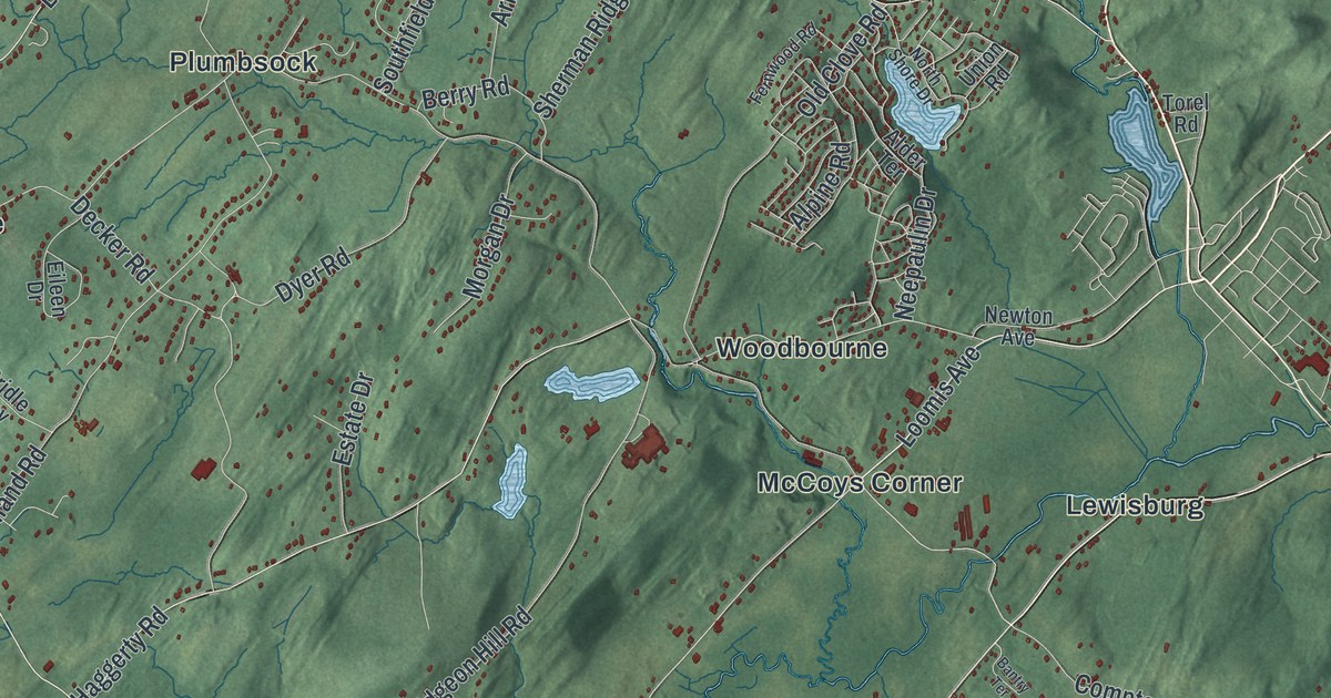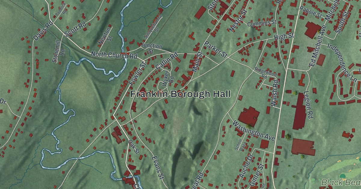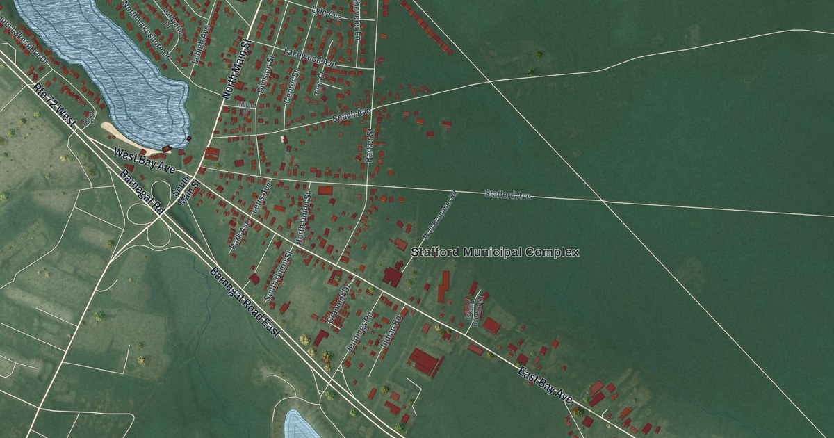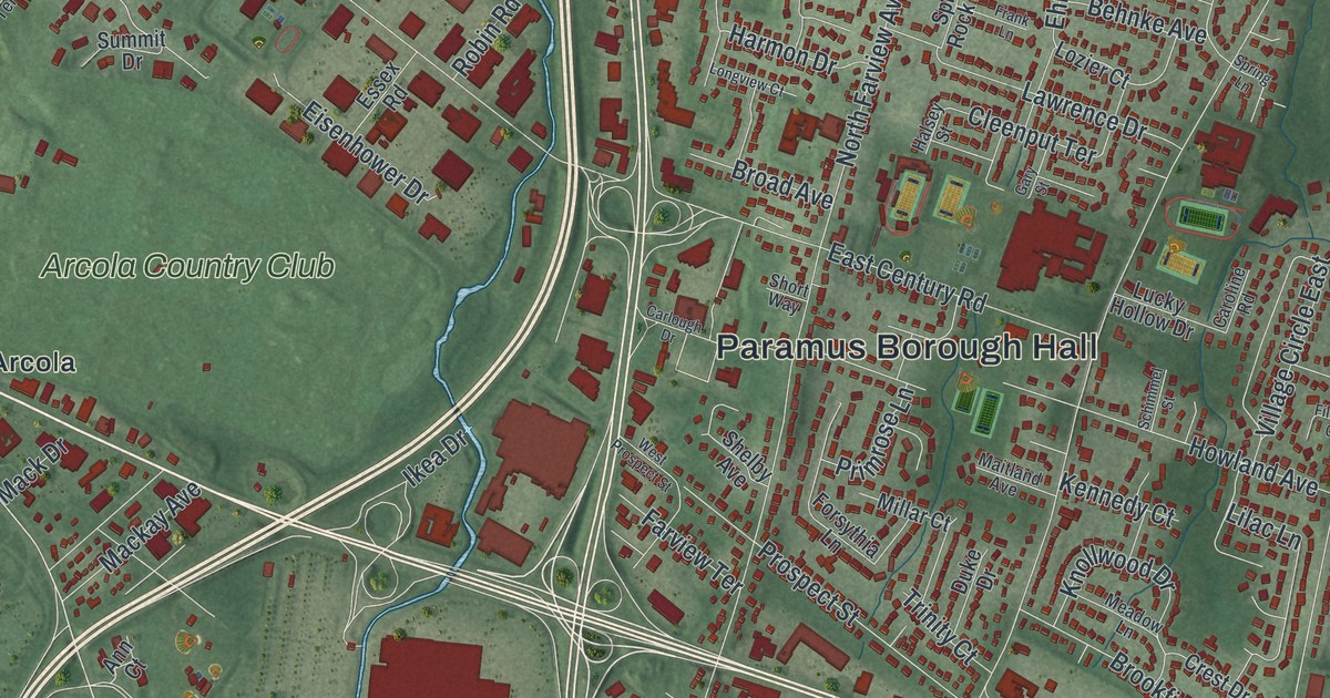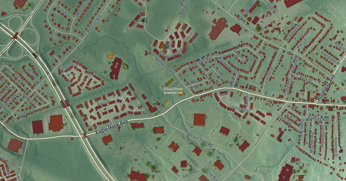
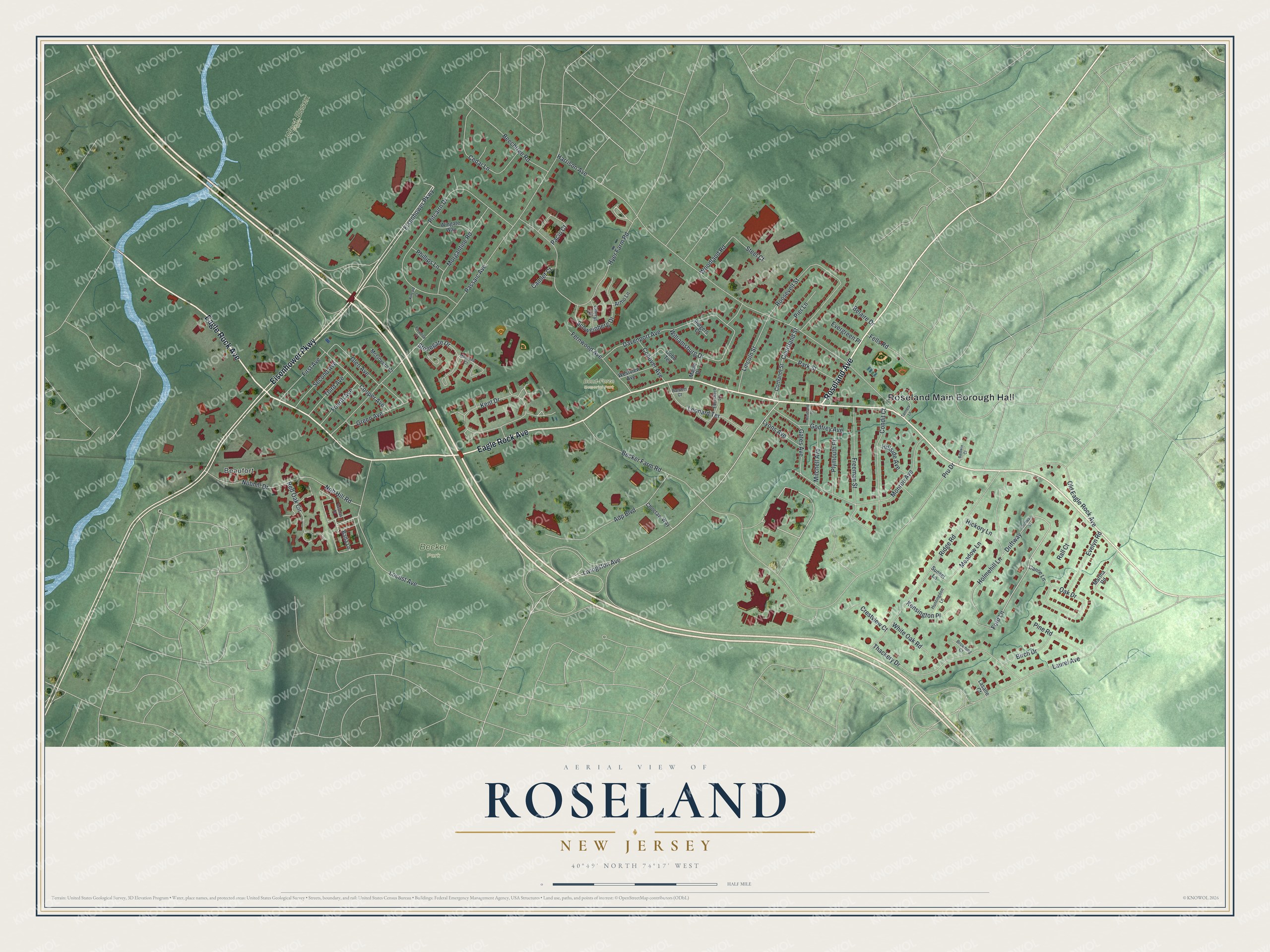
This beautifully detailed map of Roseland, New Jersey was created in 2026 using aerial imagery combined with modern topographical, census, street and landmark data. It’s a one-of-a-kind view of Roseland that combines accurate data with a vintage aesthetic. The map shows every building in its true location, many of the roads carry their names, and the shaded topographic relief shows the shape of the land.
Explore an aerial view of Roseland, New Jersey
On the map you’ll find Roseland Main Borough Hall, Beaufort, Becker Park, Bond-Force Memorial Park, and West Essex Park, along with Eagle Rock Avenue, Eisenhower Parkway, Roseland Avenue, Ford Lane, and more. If you look closely you can even find your house accurately drawn in its correct location. Zoom in on the preview to look for yours.
Did You Know?
In 1907, Roseland residents asked Livingston Township to build a school for their growing village. The township said no. That refusal led the people of Roseland to form their own town. On April 10, 1908, Roseland became an independent borough.
Take a closer look at the Roseland map
Names on this map
These names are printed on this map.
Places: Roseland Main Borough Hall, Beaufort, Becker Park, Bond-Force Memorial Park and West Essex Park.
Streets and roads: Eagle Rock Avenue, Eisenhower Parkway, Roseland Avenue, Ford Lane, Livingston Avenue, Harrison Avenue, Pru Drive, Passaic Avenue, Pitcairn Drive, Hyer Farm Road, Ridge Road, Holmehill Lane.
More street names, A to Z
Adp Boulevard, Artho Lane, Baldwin Court, Bartlett Court, Batta Lane, Becker Farm Road, Beechtree Road, Belaire Drive, Birch Drive, Browning Court, Camlet Court, Canoe Lane, Cedar Lane, Cheryl Lane, Choctaw Way, Cobb Terrace, Condit Court, Conover Avenue, Cooper Avenue, Cortlandt Street, Courtland Street, Crestview Court, Davenport Avenue, Dorchak Drive, Driftway, Driftway Street, Ebersbach Lane, Evelyn Road, Evergreen Place, Fells Road, Fernwood Avenue, First Avenue, Fourth Avenue, Freeman Street, Gates Avenue, Glen Avenue, Godfrey Avenue, Green Avenue, Hickory Lane, Hillside Avenue, Huntingdon Lane, Kensington Place, Kent Drive, Kincaid Court, Lasalle Court, Laurel Avenue, Leonard Terrace, Lincoln Street, Locust Avenue, Lyons Avenue, Maple Drive, Martha Road, McGovern Court, Meadow Lane, Minnisink Court, Mitchell Avenue, Monroe Avenue, Morgantine Road, Nobhill Drive, Nob Hill Road, Oak Drive, Old Eagle Rock Avenue, Pacio Court, Paradise Place, Park Street, Phillips Lane, Pier Lane, Pine Road, Plymouth Place, Rall Court, Red Oak Circle, Roosevelt Street, Roseland Place, Rutgers Court, Schweinberg Drive, Second Avenue, Steel Court, Stonegate Drive, Sunset Lane, Tannery Lane, Thackery Drive, Third Avenue, Westview Avenue, White Oak Road, Williamsburg Drive, Wingate Way, Woodland Road.
See it on a wall
The Roseland map as an 18 x 24 inch print in a black frame.

This beautifully detailed map of Roseland makes an attractive addition to your office, library, or den, and it can even be used to teach children the geography and history of the area. It also makes a great gift for anyone with Roseland roots. When you’re done exploring, click here to get your copy of the Roseland map.