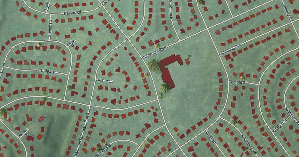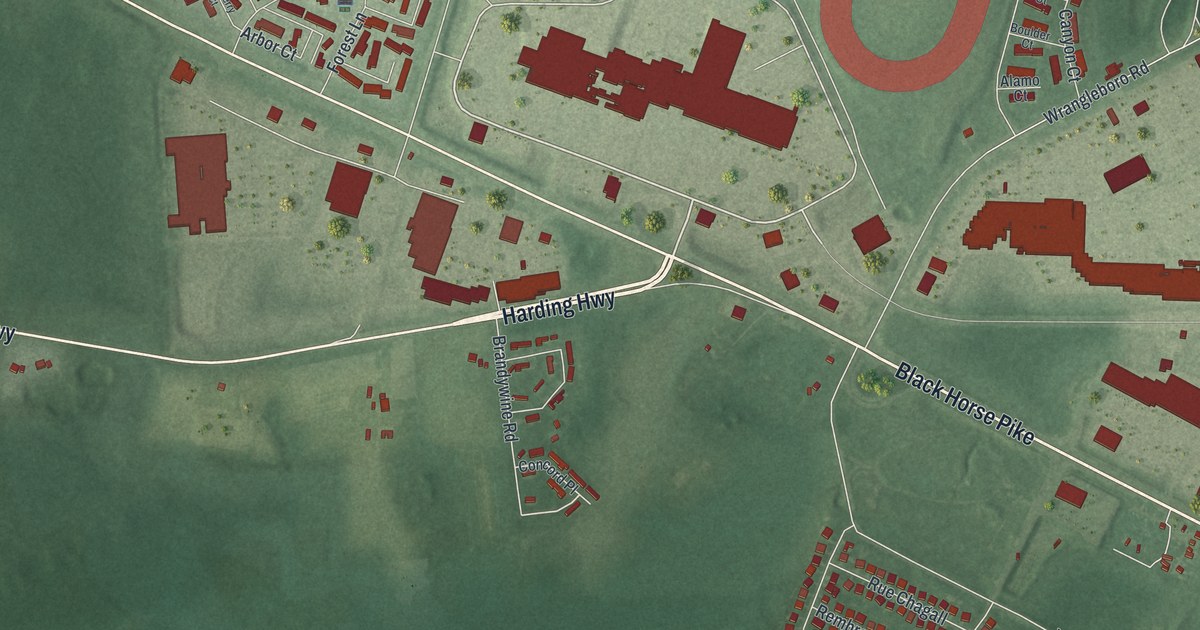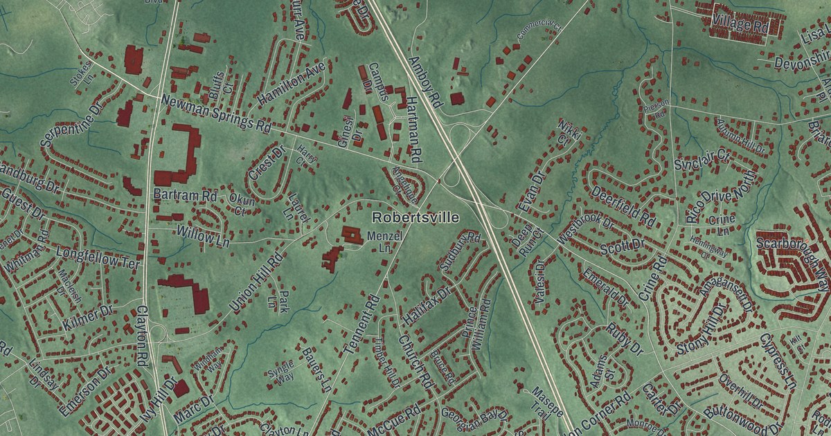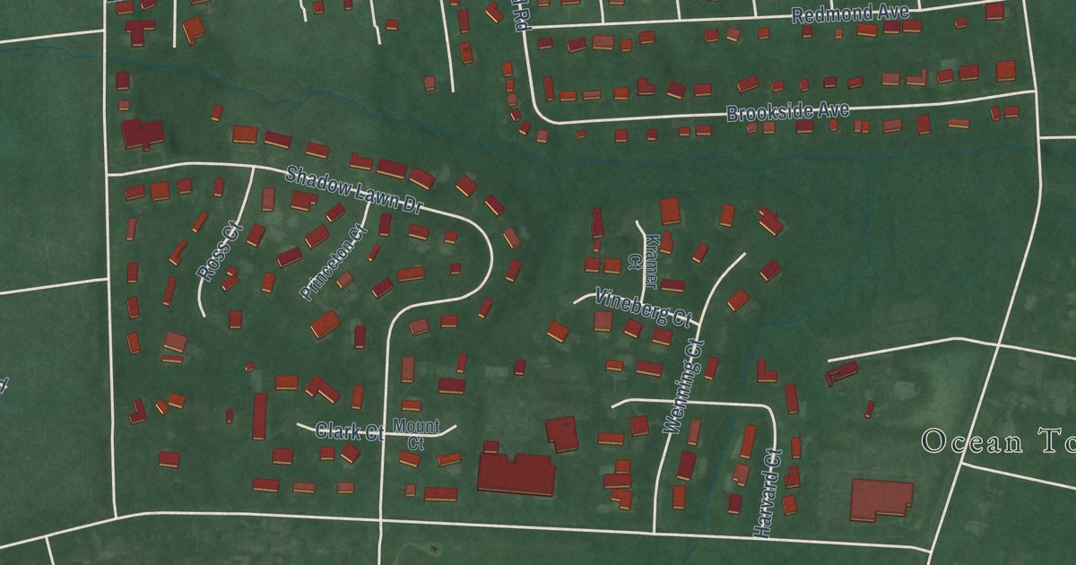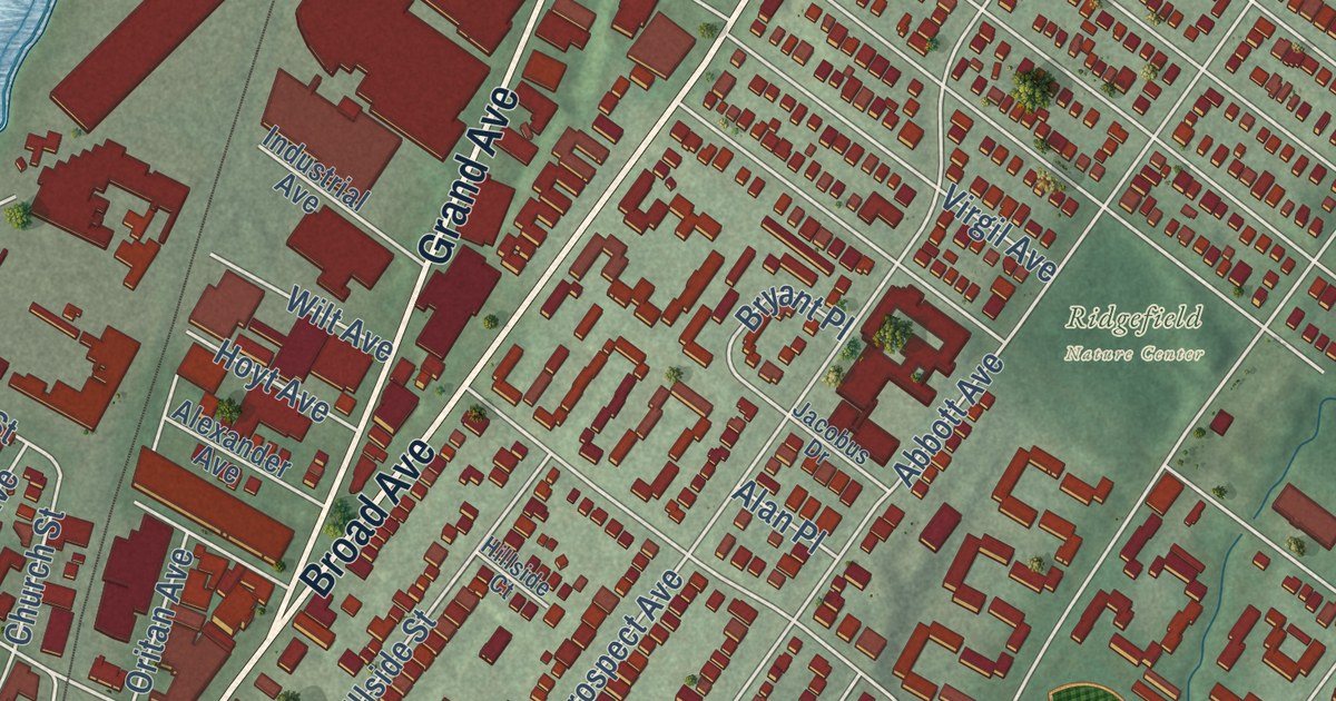
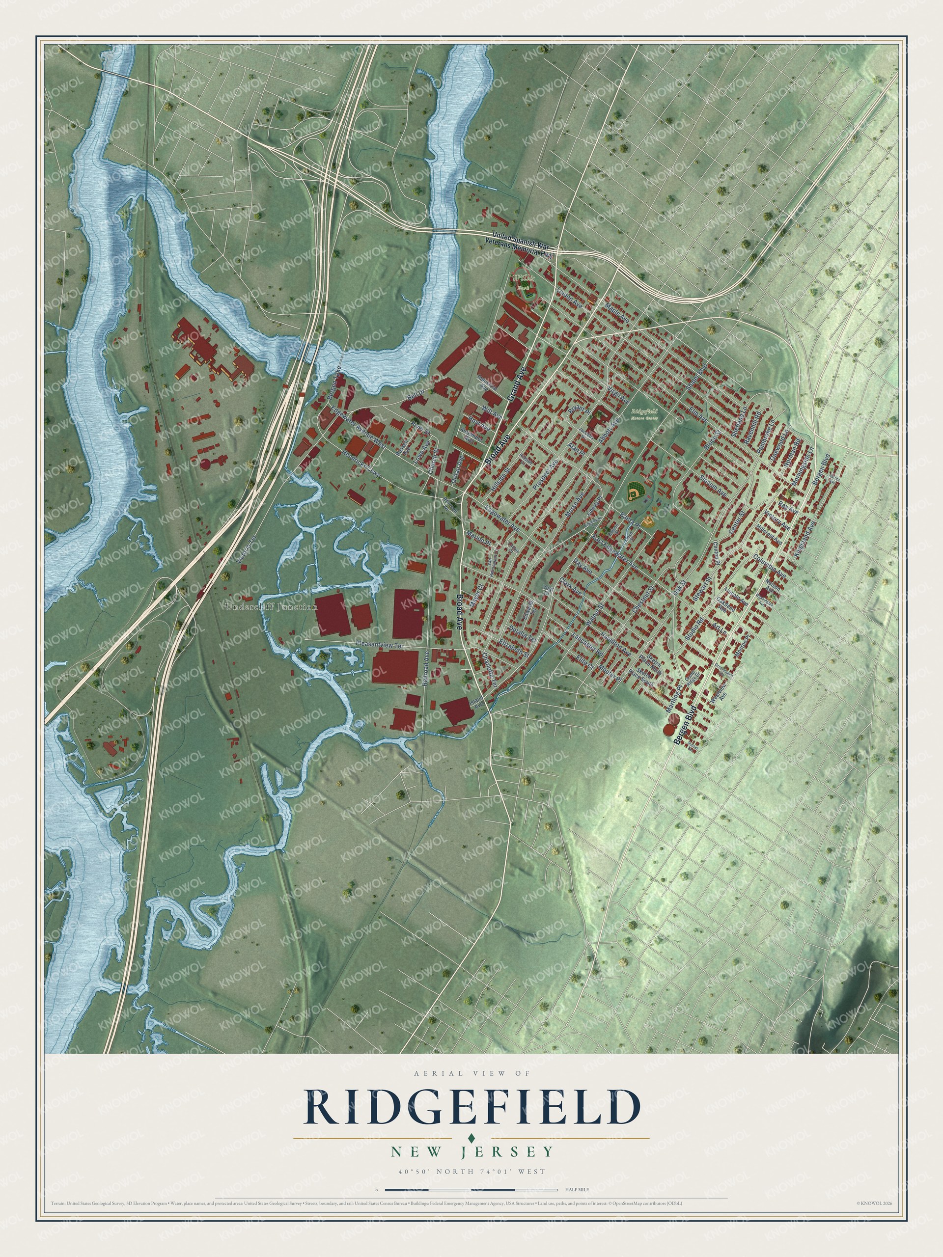
This beautifully detailed map of Ridgefield, New Jersey was created in 2026 using aerial imagery combined with modern topographical, census, street and landmark data. It’s a one-of-a-kind view of Ridgefield that combines accurate data with a vintage aesthetic. The map shows every building in its true location, many of the roads carry their names, and the shaded topographic relief shows the shape of the land.
Explore an aerial view of Ridgefield, New Jersey
On the map you’ll find Morsemere, Undercliff Junction, and Willis Park, along with Broad Avenue, Bergen Boulevard, Grand Avenue, United Spanish War Veterans Memorial Highway, Edgewater Avenue, and more. If you look closely you can even find your house accurately drawn in its correct location. Zoom in on the preview to look for yours.
Did You Know?
In 1913, the artist Man Ray helped found an art colony at Grantwood in Ridgefield. He started it with Alfred Kreymborg and Samuel Halpert. The artists lived in simple shacks on a bluff. Local streets such as Sketch Place, Studio Road and Art Lane still honor the colony.
Take a closer look at the Ridgefield map
Names on this map
These names are printed on this map.
Places: Willis Park, Ridgefield Nature Center and Undercliff Junction.
Streets and roads: Broad Avenue, Bergen Boulevard, Grand Avenue, East Edgewater Avenue, Edgewater Avenue, Edgewater Avenue West, Hendricks Causeway, Bell Drive, River Street, Shaler Boulevard, Abbott Avenue, Railroad Avenue.
More street names, A to Z
Alan Place, Alexander Avenue, Art Lane, Aurora Avenue, Banta Place, Bergen Turnpike, Bruce Street, Bryant Place, Center Street, Charlotte Terrace, Chestnut Street, Church Street, Clark Avenue, Clinton Place, Columbia Avenue, Day Avenue, Delalla Terrace, Edison Street, Edwards Terrace, Elite Court, Elizabeth Street, Elm Avenue, Englehardt Terrace, Grand Ridge Drive, Greenmount Avenue, Hamilton Avenue, Hillcrest Avenue, Hillside Court, Hillside Street, Hoyt Avenue, Industrial Avenue, Island Avenue, Jacobus Drive, Kingsland Avenue, Lancaster Road, Liberty Place, Lincoln Avenue, Linden Avenue, Linden Court, Lloyd Street, Lowe Avenue, Maple Avenue, Marion Place, Martling Place, Mayer Court, Meuter Place, Monroe Place, Morningside Lane, Morse Avenue, Nelson Avenue, Norman Road, Oakdene Avenue, Oak Street, Oakwood Lane, Oritan Avenue, Pembroke Lane, Pleasantview Terrace, Prospect Avenue, Ravenhill Road, Ray Avenue, Remsen Place, Russell Avenue, Shetland Lane, Sketch Place North, Sketch Place South, Slocum Avenue, Stewart Street, Studio Road, Sunset Terrace, United Spanish War Veterans Memorial Highway, Van Renssalaer Court, Victoria Terrace, Victory Avenue, Virgil Avenue, Vogt Court, Walnut Street, Washington Avenue, Westview Avenue, Wilt Avenue.
See it on a wall
The Ridgefield map as an 18 x 24 inch print in a black frame.

This beautifully detailed map of Ridgefield makes an attractive addition to your office, library, or den, and it can even be used to teach children the geography and history of the area. It also makes a great gift for someone who left Ridgefield and still calls it home. When you’re done exploring, click here to get your copy of the Ridgefield map.