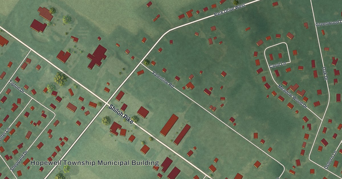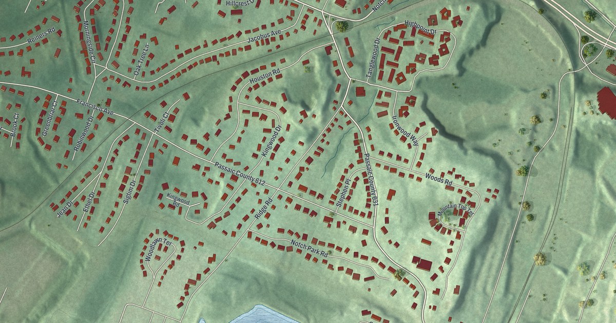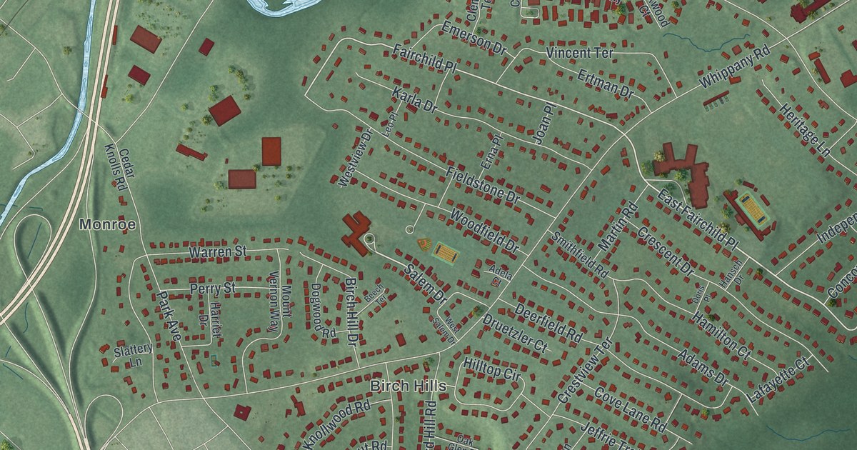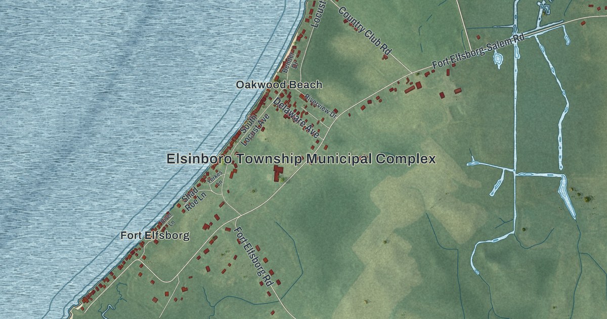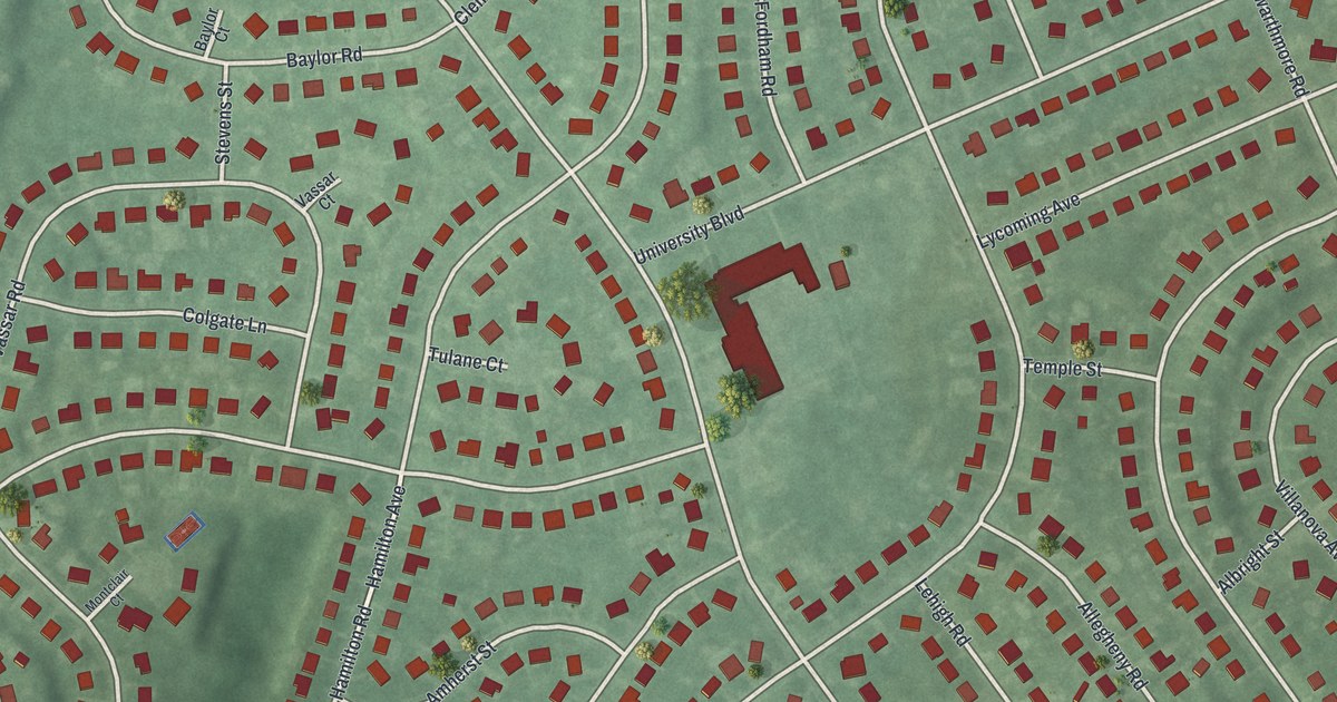
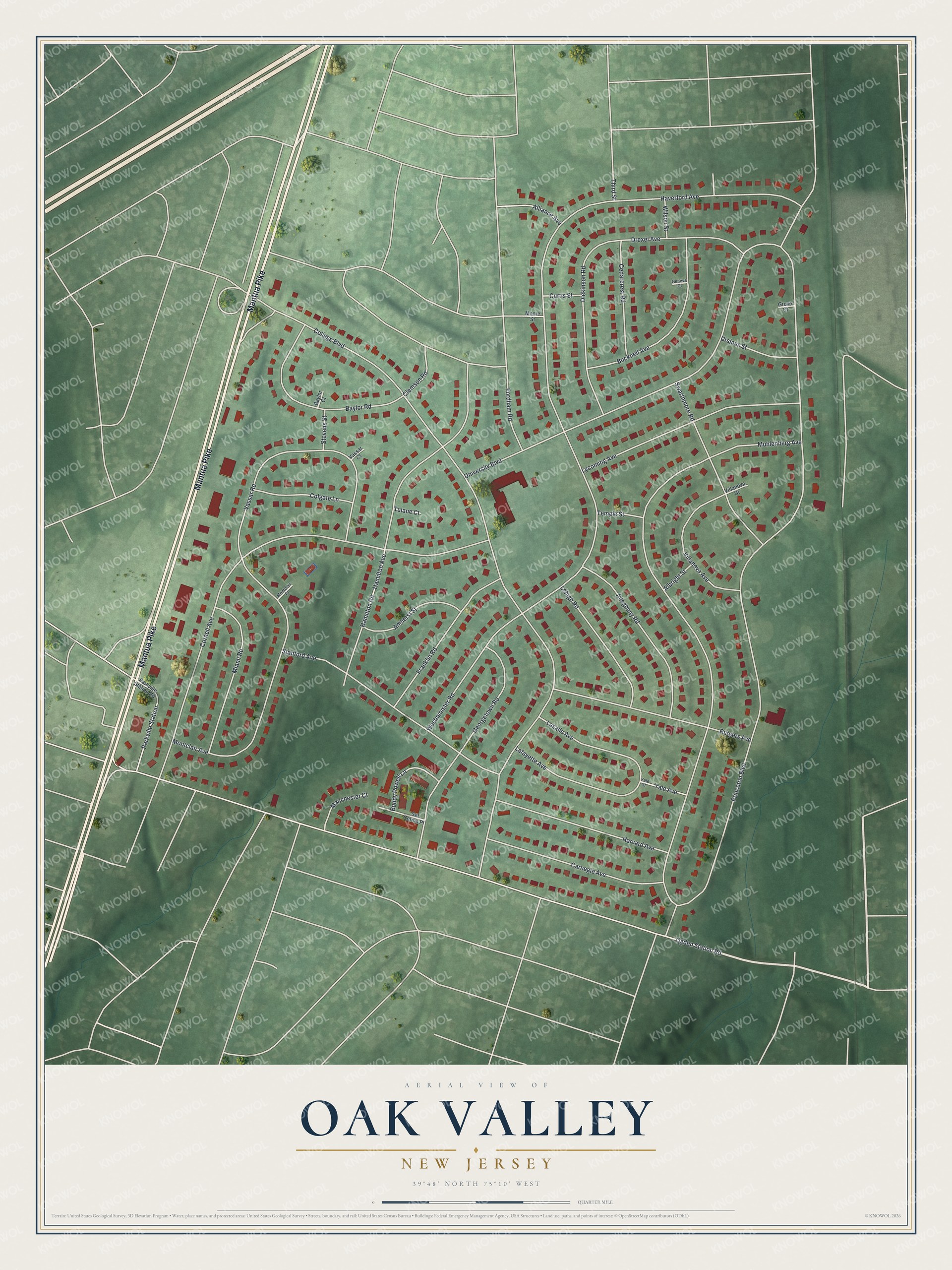
This beautifully detailed map of Oak Valley, New Jersey was created in 2026 using aerial imagery combined with modern topographical, census, street and landmark data. It's a modern aerial view of Oak Valley in Gloucester County, New Jersey, that combines modern data with a vintage aesthetic. The roads feature printed names, and if you look closely you can find your exact house accurately shown in its correct location.
Explore an aerial view of Oak Valley, New Jersey
On this map you'll find Mantua Pike, Princeton Boulevard, College Boulevard, Ogden Station Road, Muhlenberg Avenue, Westminister Road, Cornell Avenue, University Boulevard, Hamilton Road, Montclair Avenue, Vassar Road, Stanford Avenue, and more. Each red shape is a building, so zoom in on the preview and look for yours.
Oak Valley is a community in Gloucester County. The Census Bureau counted 3,497 people here in 2020. The map prints the town name in its title panel, with the coordinates below it.
Take a closer look at the Oak Valley map
Names on this map
These names are printed on this map.
Streets and roads: Mantua Pike, Princeton Boulevard, College Boulevard, Ogden Station Road, Muhlenberg Avenue, Westminister Road, Cornell Avenue, University Boulevard, Hamilton Road, Montclair Avenue, Vassar Road, Stanford Avenue.
More street names, A to Z
Albright Street, Allegheny Road, Alliance Avenue, Amherst Street, Baylor Court, Baylor Road, Bucknell Avenue, Buddy Powell Lane, Carnegie Avenue, Cedarcrest Road, Clemson Road, Colgate Lane, Curtis Street, Dickinson Road, Drexel Avenue, Fordham Road, Franklin Road, Geneva Court, Georgetown Road, Grove Court, Hamilton Avenue, Harvard Avenue, Haverford Avenue, Lafayette Avenue, Lasalle Avenue, Lehigh Road, Lycoming Avenue, Manchester Court, Miami Road, Montclair Court, Moore Street, Parkville Station, Parkville Station Road, Rutgers Avenue, Sal Corma Place, Stevens Street, Swarthmore Road, Temple Street, Third Street, Tulane Court, Ursinus Street, Vassar Court, Villanova Avenue, Villanova Court, Wilson Street, Yale Avenue, Yale Street.
See it on a wall
The Oak Valley map as a framed print. Swipe for more.


Created by KNOWOL in 2026. The buildings are small red shapes, the roads carry their printed names, and shaded relief shows the shape of the land. The title panel reads "AERIAL VIEW OF OAK VALLEY, NEW JERSEY" with 39°48' NORTH 75°10' WEST.
It looks right in a kitchen, an office or a den, and it's a gift for anyone who grew up in Oak Valley or moved away. Open the preview and find your street. See sizes and frames for the Oak Valley map.