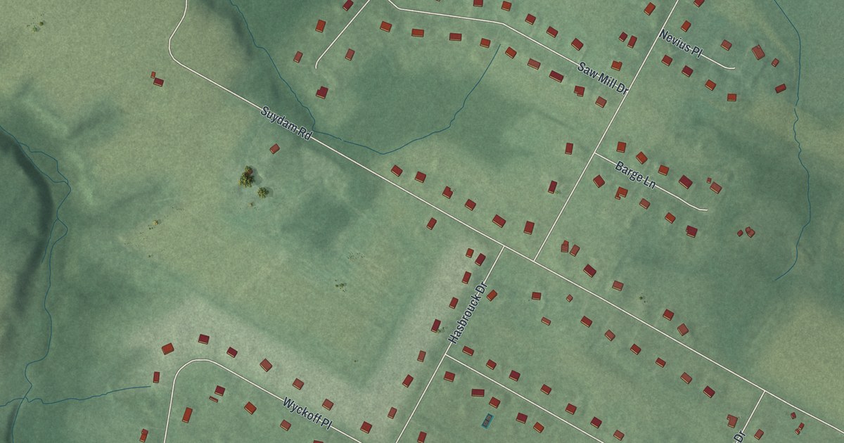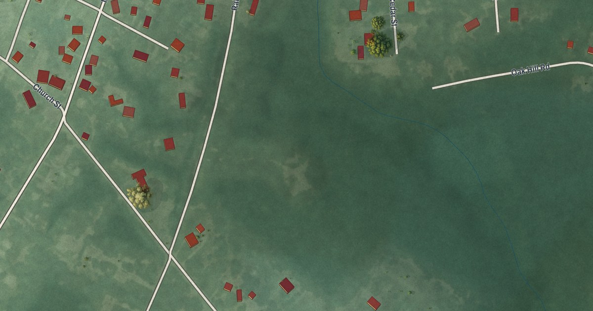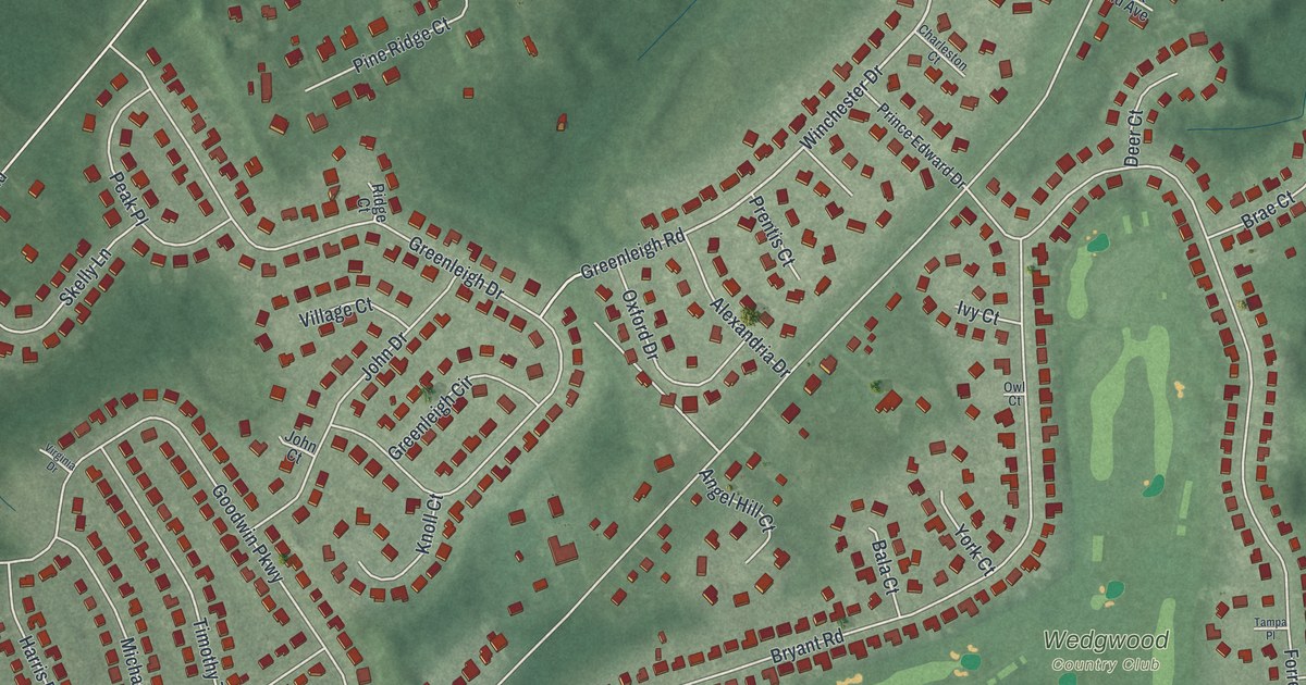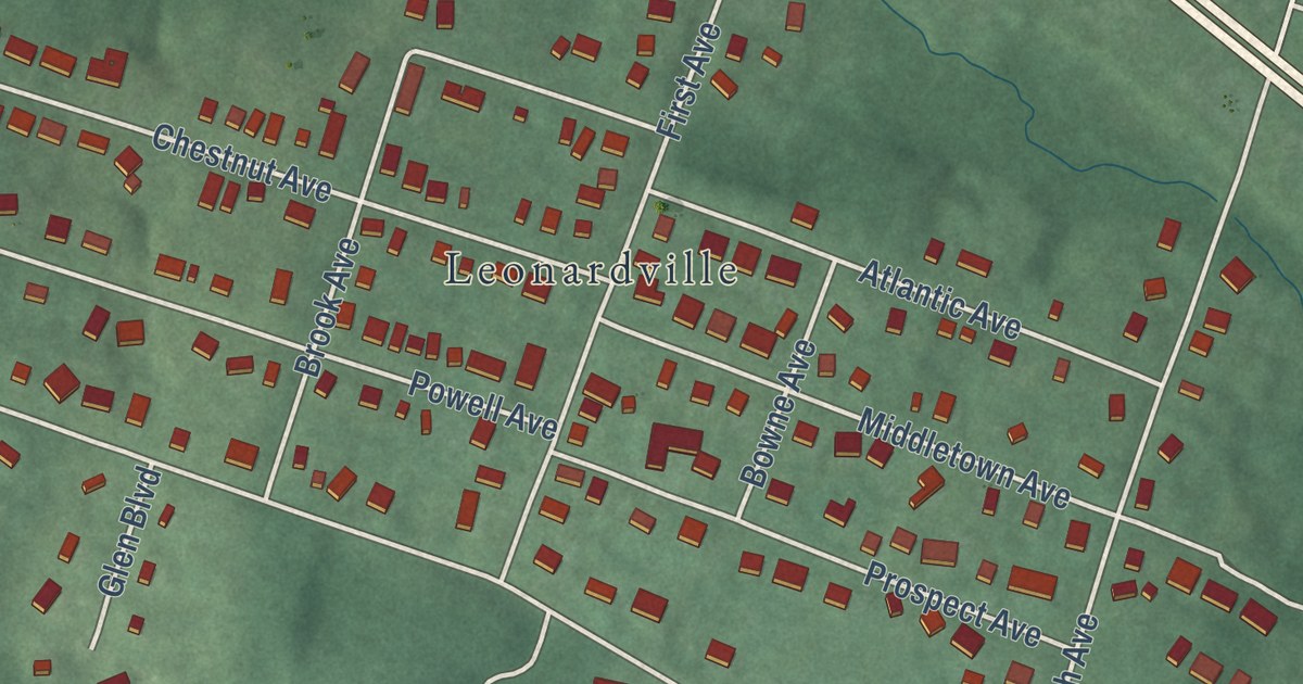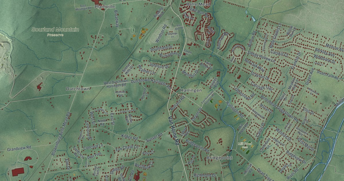
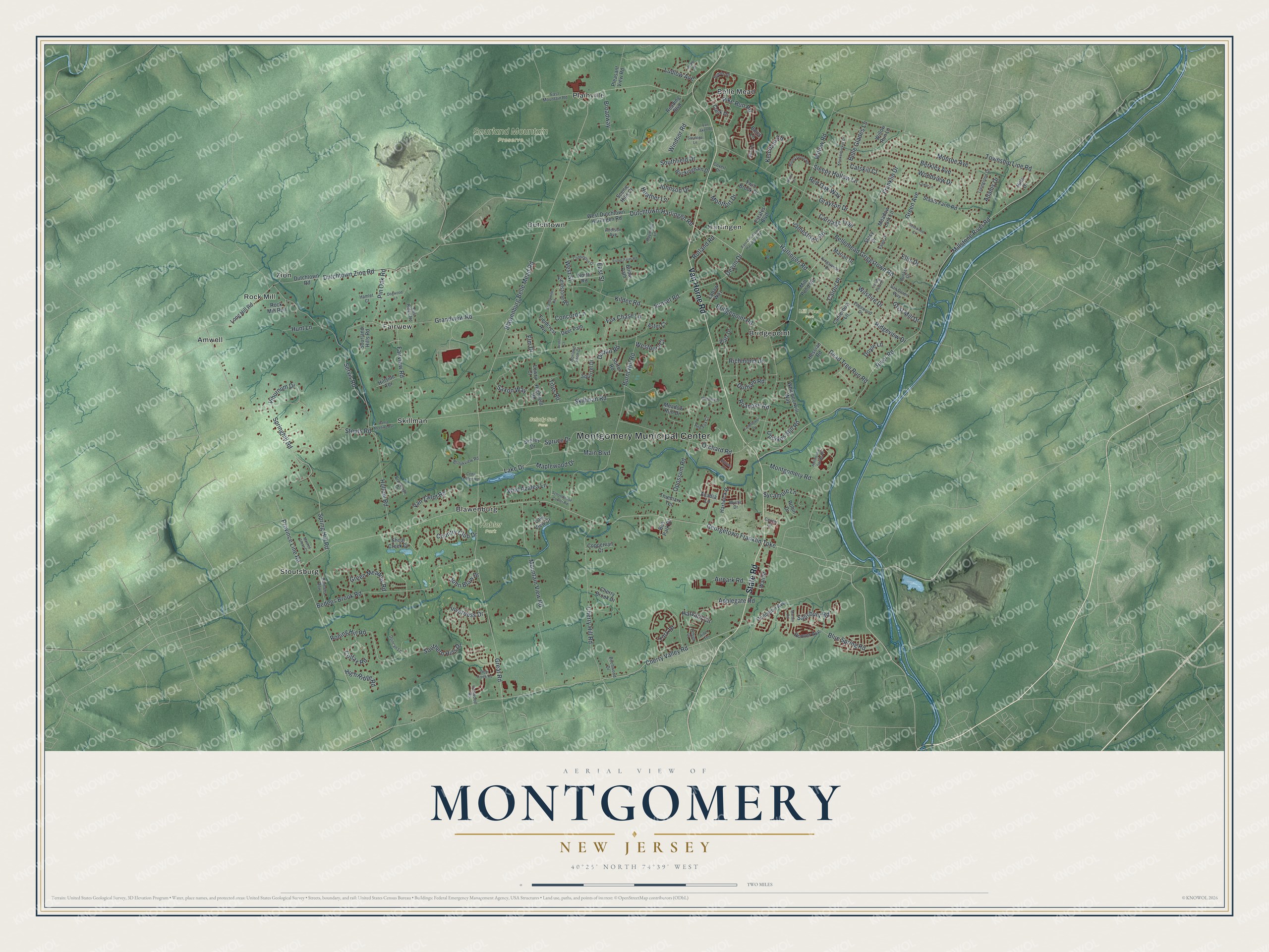
This beautifully detailed map of Montgomery, New Jersey was created in 2026 using aerial imagery combined with modern topographical, census, street and landmark data. It’s a one-of-a-kind view of Montgomery that combines accurate data with a vintage aesthetic. The map shows every building in its true location, many of the roads carry their names, and the shaded topographic relief shows the shape of the land.
Explore an aerial view of Montgomery, New Jersey
On the map you’ll find Montgomery Municipal Center, Amwell, Belle Mead, Blawenburg, Bridgepoint, Dutchtown, Hobler Park, Mill Pond Park, and Sourland Mountain Preserve, along with Van Horne Road, River Road, Dutchtown-Harlingen Road, Sleepy Hollow Lane, and more. If you look closely you can even find your house accurately drawn in its correct location. Zoom in on the preview to look for yours.
Did You Know?
The area began as the Western Precinct, a district in Somerset County. In 1798 it became a township named for General Richard Montgomery. He was killed leading patriot troops at the Battle of Quebec in 1775, early in the Revolution. Until 1838, the township stretched all the way to Nassau Street in Princeton.
Take a closer look at the Montgomery map
Names on this map
These names are printed on this map.
Places: Montgomery Municipal Center, Hobler Park, Mill Pond Park, Selody Sod Farm, Sourland Mountain Preserve, Amwell, Belle Mead, Blawenburg, Bridgepoint, Dutchtown, Fairview, Harlingen, Plainville, Rock Mill, Skillman, Stoutsburg and Zion.
Streets and roads: Van Horne Road, State Road, River Road, Dutchtown-Harlingen Road, Sleepy Hollow Lane, Harlingen Road, Springhill Road, Lake Drive, Devon Drive, Blawenburg Belle Mead Road, Georgetown Franklin Turnpike, Millstone River Road.
More street names, A to Z
Acadia Lane, Acorn Court, Adams Drive, Addison Avenue, Airpark Road, Applegate Road, Aster Court, Autumn Lane, Bedens Brook Road, Bedle Street, Belle Glades Lane, Bellemead Griggstown Road, Berkley Avenue, Birchwood Drive, Blue Spring Road, Boice Lane, Brandywine Road, Bridgepoint Road, Bridle Path, Broadway, Brookside Drive, Brookview Road, Buckingham Drive, Bunker Drive, Burnt Hill Road, Bus Park Drive, Cairns Place, Camp Meeting Avenue, Canterbury Lane, Carriage Trail, Catskill Court, Cedar Lane, Cedar Lodge Road, Center Drive, Cherry Brook Drive, Cherry Hill Road, Cherry Valley Road, Coddington Court, Colfax Road, Concord Lane, Cook Drive, Coppervail Court, Country Club Drive, Covert Drive, Dead Tree Run Road, Deer Path, Dixon Lane, Dogwood Lane, Dorland Farm Court, Doyle Lane, Dublin Road, Duncan Lane, Durham Road, Dutchtown Road, Dutchtown Zion Road, East Dutchtown Harlingen Road, East Mountain Road, East Ridge Road, East Street, Edgewood Drive, Ellis Drive, Elm Drive, Estates Boulevard, Fairview Road, Fawn Drive, Fieldcrest Avenue, Fieldflower Drive, Fieldstone Road, Fisher Farm Road, Fox Chase Lane, Franklin Drive, Grandview Road, Grayson Drive, Great Road, Green Avenue, Green Meadow Road, Grist Mill Drive, Hamlet Court, Hartwick Drive, Harvard Circle, Heather Lane, Hessian Road, Highfield Road, High Ridge Road, Hills Drive, Hillside Terrace, Hollinshead Spring Road, Hollow Road, Hoover Avenue, Hunt Lane, Inverness Drive, Ironwood Road, Jamestown Road, John Blaw Drive, Johnson Drive, Ketcham Road, Kildee Road, Kingswood Drive, Knickerbocker Drive, Labaw Way, Lake View Drive, Lehigh Court, Livingston Drive, Long Hill Road, Lowry Court, Ludlow Avenue, Main Boulevard, Maplewood Drive, Marian Drive, Marten Road, McElroy Lane, Meadow Lark Lane, Meadow Run Drive, Millers Grove Road, Mill Pond Road, Monroe Avenue, Montfort Drive, Montgomery Road, Moores Grove Court, Mountain View Road, Muentener Drive, Mystic Drive, North Road, Opossum Road, Orchard Road, Otter Creek Road, Pike Run Road, Pin Oak Road, Planters Row, Platz Drive, Pleasant View Road, Poling Farm Court, Princeton Avenue, Province Line Road, Raymond Lane, Reading Boulevard, Red Fox Court, Red Oak Way, Richmond Drive, Rider Terrace, Ridgeview Drive, Roanoke Road, Robin Drive, Rock Mill Run, Rolling Hill Road, Rosewood Court, Rutland Road, Salisbury Road, Saratoga Lane, Saxon Way, Scenic Hills Court, Schley Drive, Schoolhouse Corner Road, Servis Road, Shoal Creek Drive, Skillman Road, Sortor Road, Sourland Hills Road, Southern Hills Drive, Southfield Drive, Spring Hill Road, Spruce Drive, Squirrel Drive, Staats Farm Road, Stacy Drive, Stouts Road, Sunset Road, Sycamore Lane, Symes Drive, Thiemarx Terrace, Titus Road, Township Line Road, Twin Brook Drive, Updikes Mill Road, Van Aken Road, Van Doren Way, Van Zandt Road, Viburnum Drive, Wall Street, Westbury Court, West Dutchtown Harlingen Road, West Street, Whippoorwill Way, Wild Azalea Lane, Willow Road, Willow Run Lane, Wilshire Drive, Windsor Road, Woodview Drive, York Drive.
See it on a wall
The Montgomery map as an 18 x 24 inch print in a black frame.

This beautifully detailed map of Montgomery makes an attractive addition to your office, library, or den, and it can even be used to teach children the geography and history of the area. It also makes a great gift for someone who left Montgomery and still calls it home. When you’re done exploring, click here to get your copy of the Montgomery map.