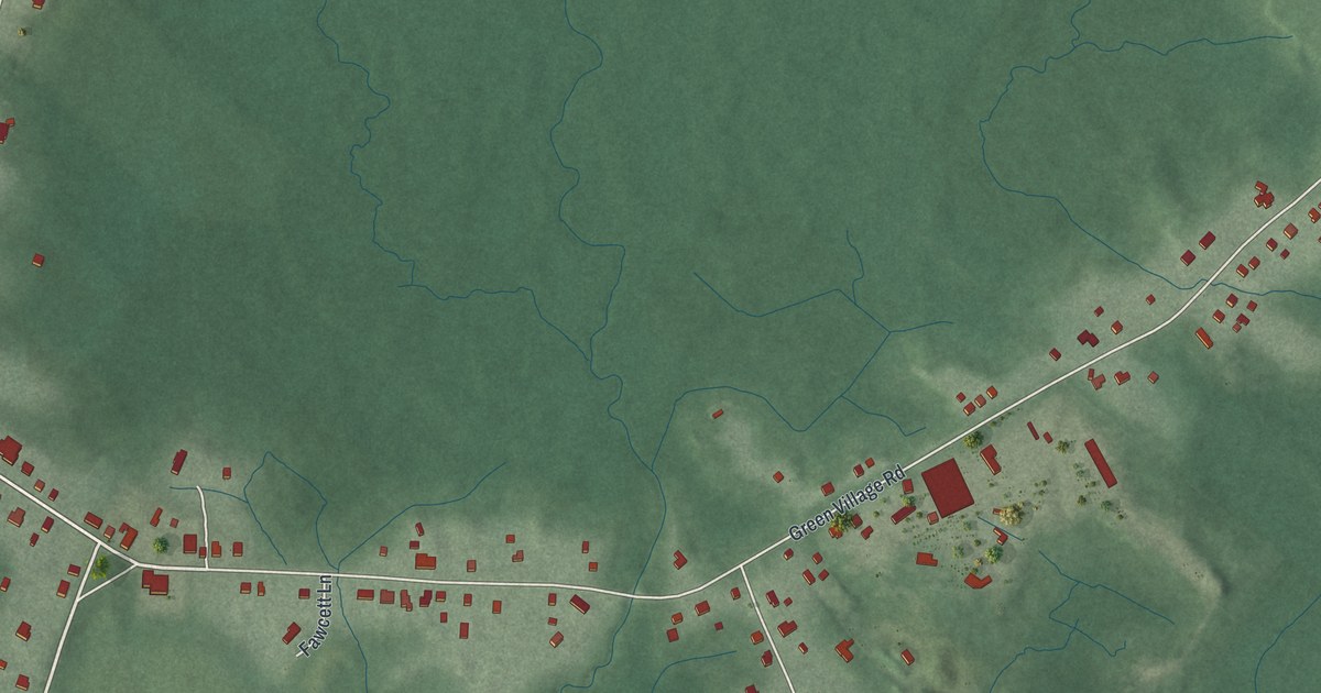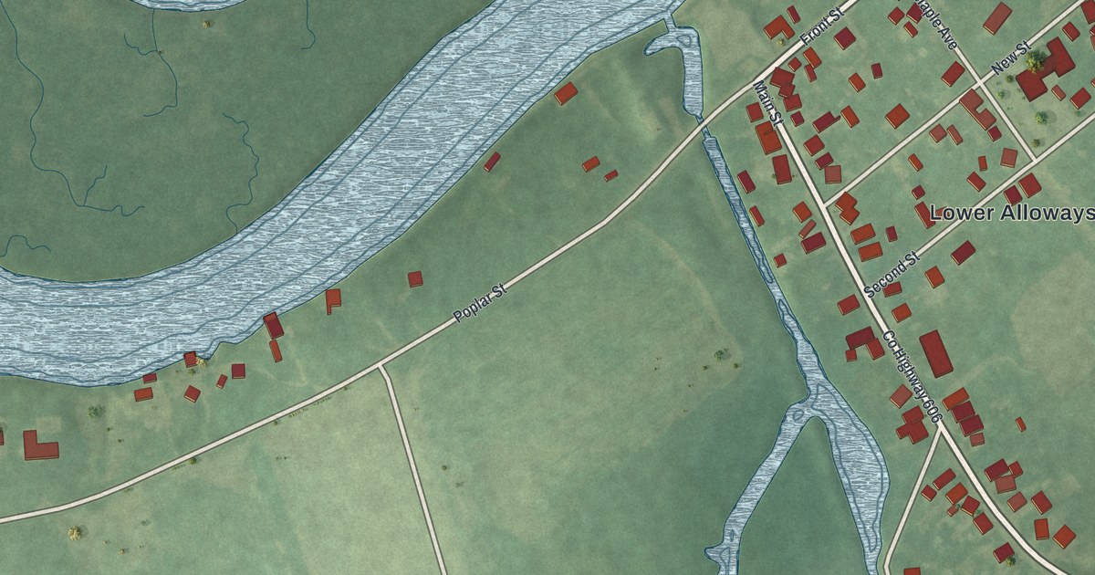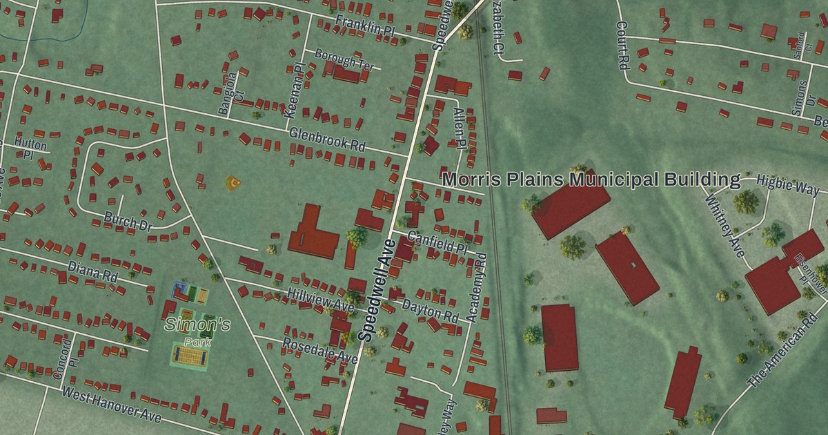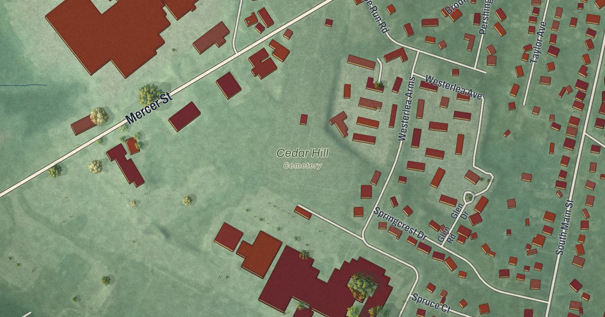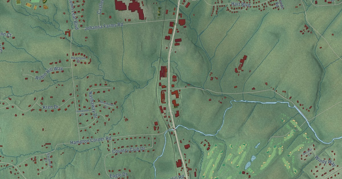
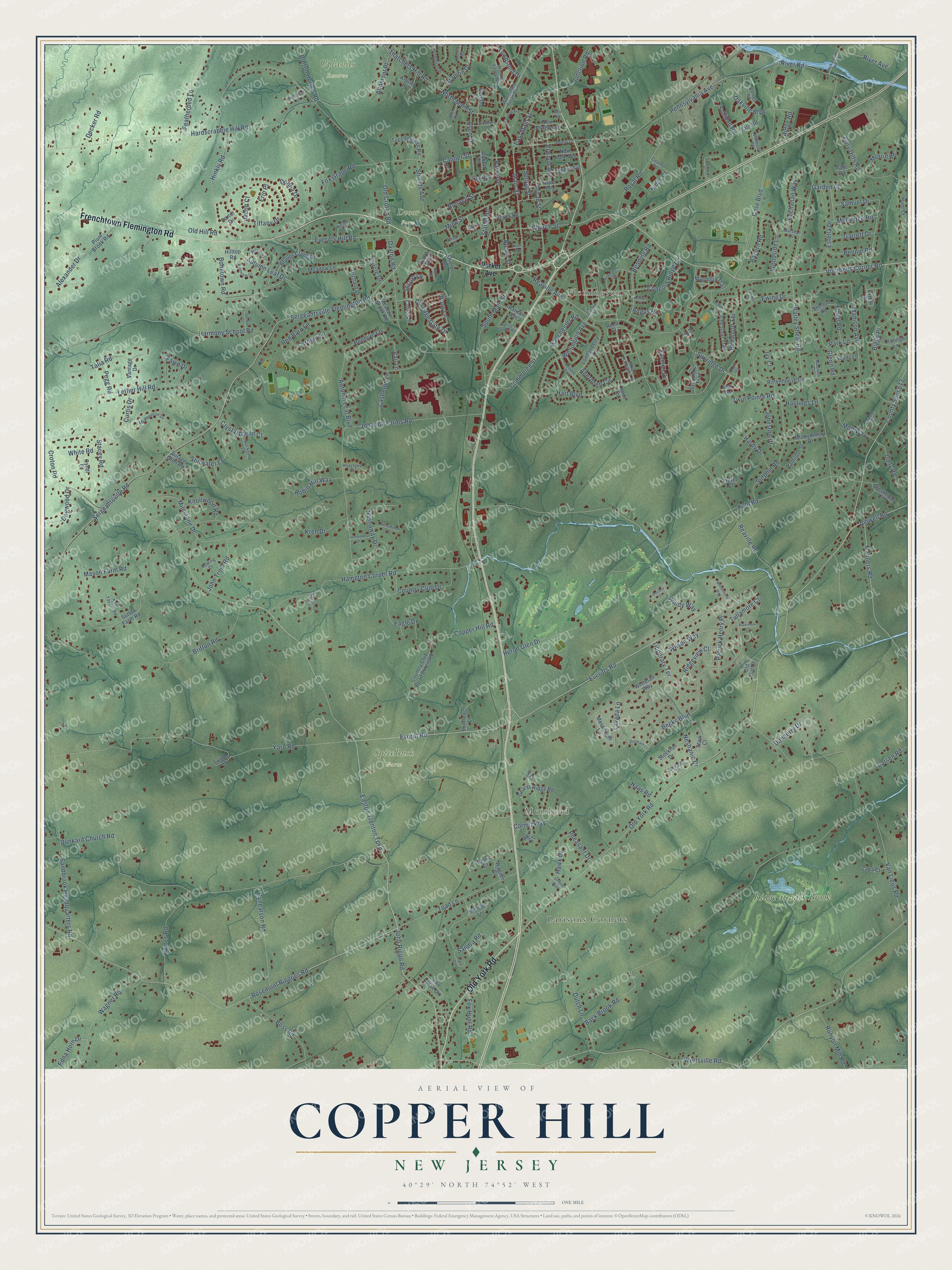
This beautifully detailed map of Copper Hill, New Jersey was created in 2026 using aerial imagery combined with modern topographical, census, street and landmark data. It’s a one-of-a-kind view of Copper Hill that combines accurate data with a vintage aesthetic. The map shows every building in its true location, many of the roads carry their names, and the shaded topographic relief shows the shape of the land.
Explore an aerial view of Copper Hill, New Jersey
On the map you’ll find Flemington, Muirhead, Dvoor Farm, SpiceBush Farm, Uplands Reserve, Larisons Corners, and Ridge at Back Brook, along with Frenchtown Flemington Road, Old York Road, Sergeantsville Road, Easton Trenton Turnpike, Everitts Road, and more. If you look closely you can even find your house accurately drawn in its correct location. Zoom in on the preview to look for yours.
Did You Know?
From Internet Archive: "A bone-mill located on the Neshanic, near Copper Hill, and a saw-and grist-mill in the same neighborhood, are owned by William Hill."
Copper Hill is a community in Hunterdon County.
Take a closer look at the Copper Hill map
Names on this map
These names are printed on this map.
Places: Flemington, Muirhead, Dvoor Farm, SpiceBush Farm, Uplands Reserve, Larisons Corners and Ridge at Back Brook.
Streets and roads: Frenchtown Flemington Road, Old York Road, Sergeantsville Road, Easton Trenton Turnpike, Everitts Road, Voorhees Corner Road, Samson Drive, Amwell Road, South Main Street, Townsend Drive, Park Avenue, Reaville Avenue.
More street names, A to Z
Abbott Court, Aberdeen Circle, Alexander Drive, Allen Street, Alpine Place, Altamont Place, Angus Road, Atkinson Court, Autumn Leaf Boulevard, Autumn Leaf Drive, Back Brook Road, Bacorn Road, Barley Sheaf Road, Barnett Road, Barton Hollow Road, Beaver Creek Drive, Becks Boulevard, Beehive Lane, Bellis Court, Bennie Road, Biggs Place, Bonetown Road, Bonnell Street, Boss Road, Bristol Avenue, Britton Road, Broad Street, Brown Street, Buchanan Way, Buckeye Lane, Bush Road, Capner Street, Carman Lane, Carriage Gate Drive, Carter Drive, Case Boulevard, Castleton Lane, Chestnut Trail, Church Street, Circle Drive, Claridge Lane, Colony Road, Colts Lane, Commerce Street, Concord Ridge Road, Copper Hill Road, Corcoran Street, Cornet Way, Country Club Drive, Country Club Road Extended, County Spur 613, Court Street, Crestmont Court, Croton Road, Crystal Glenn Court, Curtis Drive, Cyndi Court, Dally Road, Danberry Drive, Dayton Road, Deats Lane, Decatur Court, Decker Road, Denmark Lane, Dewing Court, Dogwood Drive, Donna Drive, Dory Dilts Road, Dunbar Court, Dunkard Church Road, Dutch Lane, Dvoor Boulevard, Eagle Drive, East Main Street, Edna Horn Drive, Einstein Court, Elm Terrace, Elwood Avenue, Emery Avenue, Erin Place, Estella Drive, Everitt Road, Everitts Hill Road, Ewing Drive, Fawn Drive, Featherbed Lane, Fir Court, Floral Road, Forest Drive, Fox Grape Road, Fox Hunt Road, Fulper Road, Garden Lane, Garden Place, Garrett Drive, Gearys Ridge Road, Glenn Road, Grandin Drive, Grant Avenue, Greenwood Place, Haas Road, Haines Road, Hamilton Street, Hampton Corner Road, Hardscrabble Hill Road, Hardy Drive, Harmony School Road, Hart Boulevard, Hart Lane, Hastings Lane, Hawk Drive, Heron Glen Drive, Hillcrest Drive, Hilltop Road, Hinkly Road, Hoagland Court, Honeyman Drive, Hopewell Avenue, Hunt Court, Indian Plantation Street, Iron Horse Drive, Ironwood Drive, Ivy Court, Jacob Court, Johanna Farms Road, John Ringo Road, Johnston Drive, John Trout Road, Junction Road, Kenner Court, Kentview Court, Kings Court, Knoll Tavern Road, Knollwood Road, Kren Drive, Kuhl Road, Laga Court, Larsen Road, Lavada Lane, Leeds Road, Leffler Hill Road, Lexington Circle, Londonderry Drive, Lowe Court, Madison Avenue, Madison Court, Magnolia Trail, Main Street, Manchester Road, Manchur Court, Manners Road, Maple Avenue, Maple Court, Marshall Drive, Mason Farm Road, McPherson Drive, Meadow Brook Road, Meadow Lane, Merrill Road, Messenger Lane, Michael Lane, Milestone Drive, Millbrook Road, Mine Street, Molly Bee Road, Monsey Road, Montgomery Drive, Moore Drive, Mott Way, Mulberry Lane, Nashaway Drive, Neshanic Drive, New Jersey Avenue, New York Avenue, Nicole Lane, North Main Street, Oakville Boulevard, Old Croton Road, Old Hill Road, Old Mill Court, Orchard Drive, Oriole Way, Parker Avenue, Park Lane, Patrick Henry Place, Paul Road, Pegg Road, Pennsylvania Avenue, Penny Lane, Persimmon Court, Pheasant Drive, Pierce Court, Plum Brook Road, Pony Lane, Raritan Avenue, Reading Road, Reaville Road, Red Barn Lane, Redwood Terrace, Reed Court, Rex Court, Ridge Road, Ridgeview Court, Rittenhouse Circle, River Avenue, River Road, Riverview Court, Robin Hill Way, Rockafellows Mill Road, Rosemont Ringoes Road, Royal Road, Runyon Mill Road, Rynearson Road, Samuel Drive, Sandbrook Headquarters Road, Sandra Road, Saratoga Drive, Savanna Court, Sergeantsville Flemington Road, Shady Lane, Shelton Road, Shields Avenue, Shields Road, Spring Garden Road, Spring Street, Stacey Road, Stangl Road, Stark Court, Stillwater Lane, Stirrup Lane, Stockton Drive, Sullivan Road, Sunflower Lane, Sunridge Drive, Sutphin Road, Sutton Farm Road, Svoboda Road, Sycamore Trail, Talia Road, Tate Road, Thatchers Hill Road, Tiffany Drive, Tipperary Terrace, Toad Lane, Tuccamirgan Road, Tullamore Court, Twin Pointe Road, Vail Lane, Van Lieus Road, Vantage Drive, Village Court, Village Glen Road, Wagner Court, Wagner Road, Walter East Foran Boulevard, Wellington Avenue, Wertsville Road, West Road, Whitehouse Way, White Road, Whitetail Way, Wilson Way, Windy Way, Wooded Valley Way, Woodside Lane, Yard Road, Yorkshire Drive.
See it on a wall
The Copper Hill map as a framed print. Swipe for more.


This beautifully detailed map of Copper Hill makes an attractive addition to your office, library, or den, and it can even be used to teach children the geography and history of the area. It also makes a great gift for anyone who grew up in Copper Hill or moved away. When you’re done exploring, click here to get your copy of the Copper Hill map.