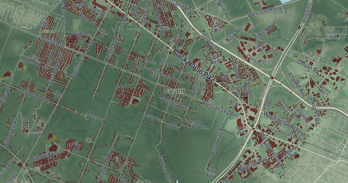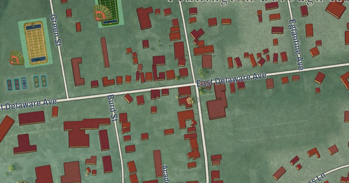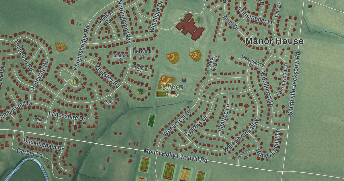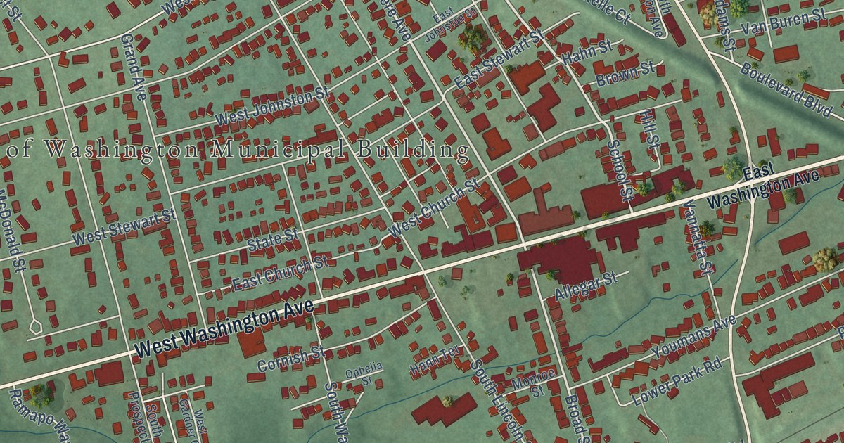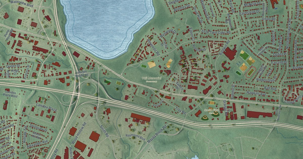
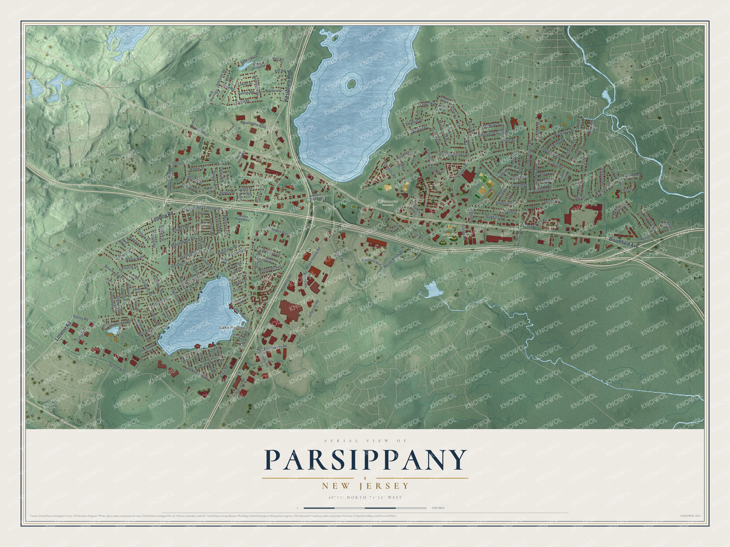
This beautifully detailed map of Parsippany, New Jersey was created in 2026 using aerial imagery combined with modern topographical, census, street and landmark data. It’s a one-of-a-kind view of Parsippany that combines accurate data with a vintage aesthetic. The map shows every building in its true location, many of the roads carry their names, and the shaded topographic relief shows the shape of the land.
Explore an aerial view of Parsippany, New Jersey
On the map you’ll find Lake Parsippany, Smith Field Park, and Vail Memorial Cemetery, along with Littleton Road, Parsippany Boulevard, Bloomfield Avenue, Cherry Hill Road, Waterview Boulevard, and more. If you look closely you can even find your house accurately drawn in its correct location. Zoom in on the preview to look for yours.
Did You Know?
The name Parsippany comes from the Lenape word parsipanong. It means the spot where the river winds through a valley. The township’s partner name, Troy Hills, was once just Troy. It was changed because mail kept going by mistake to Troy, New York.
Take a closer look at the Parsippany map
Names on this map
These names are printed on this map.
Places: Lake Parsippany, Smith Field Park and Vail Memorial Cemetery.
Streets and roads: Littleton Road, Parsippany Boulevard, Bloomfield Avenue, Cherry Hill Road, Waterview Boulevard, Smith Road, Harrison Road, Mazda Brook Road, Intervale Road, Lake Shore Drive, Vail Road, Parsippany Road.
More street names, A to Z
Absecon Road, Adelphia Road, Alba Place, Alexander Avenue, Allentown Road, Alloway Road, Alpine Road, Ambler Way, Arnold Drive, Ashlyn Road, Ashwood Place, Atlantic Drive, Auburn Road, Baldwin Road, Ball Avenue, Barnsboro Road, Barrington Road, Beachwood Road, Bell Road, Bent Birch Place, Berlin Road, Bound Brook Road, Braemar Court, Briarwood Road, Bridgeton Drive, Bromley Drive, Brook Court, Caldwell Road, Califon Road, Camden Road, Camelot Road, Cedar Crest Road, Celtic Way, Centerton Drive, Century Drive, Cherry Lane, Chesterfield Road, Chrome Court, Colonia Road, Colony Place, Cory Court, Crescent Drive, Crestview Drive, Crown Point Road, Dayton Road, Deerfield Road, Delanco Drive, Delanco Road, Doric Avenue, Dorothy Road, Druid Hill Drive, Dundee Road, East Halsey Road, Eastmans Road, Edwards Road, Eileen Court, Eldora Road, Elf Court, Elmwood Drive, Entin Road, Essex Road, Euclid Terrace, Everette Road, Everett Road, Fairfield Road, Fairmount Road, Farmingdale Drive, Farmstead Drive, Farrand Drive, Ferndale Drive, Fieldcrest Road, Flemington Drive, Forest Drive, Frontage Road, Garfield Road, Glassboro Road, Glen Road, Gloucester Road, Grange Road, Grantwood Road, Grecian Street, Greenbriar Road, Green Hill Road, Haddonfield Drive, Haddon Road, Halsey Road, Hamburg Road, Hawkins Avenue, Hidden Glen Drive, Hillside Terrace, Homer Street, Ionic Court, Irvington Road, Ivy Lane, Jacksonville Drive, Jagged Rock Road, Jefferson Road, Kings Court, Kingston Road, Knoll Road, Lakeside Drive, Lanidex Plaza, Lanidex Plaza West, Larkspur Drive, Laurel Drive, Lawrence Road, Leamoor Drive, Littleton Road East, Lodge Lane, Longport Road, Lucille Drive, Ludlow Road, Madison Road, Maplewood Drive, Marcella Road, Marmora Road, McD Boundary, McNeile Drive, Murray Court, New Meadow Terrace, Noble Street, North Beverwyck Road, Northfield Road, Oak Ridge Road, Ogden Place, Old Bloomfield Avenue, Old Chester Drive, Orston Road, Paris Place, Patrician Court, Pitt Road, Pomeroy Road, Prince Road, Princess Street, Pump House Road, Queen Street, Raymound Boulevard, Ray Street, Redstone Drive, Reservoir Road, Rhoda Terrace, Richard Street, Rickland Road, Ridge Road, Rockaway Boulevard, Rockaway Place, Roosevelt Avenue, Sagamore Road, Sandalwood Drive, Sand Hill Court, Sandra Drive, Ser del Drive, Singac Court, South Beverwyck Road, Spartan Avenue, Springview Drive, Stafford Road, Stephen Terrace, Stirling Road, Summit Road, Summit Street, Sweetwood Court, Sylvan Way, Trojan Avenue, Troy Road, Twin Oaks Road, Ulysses Street, Union Road, Warren Drive, Webro Road, White Oak Road, Willow Way, Winding Way, Winfield Drive, Wingate Road, Woodbine Trail, Woodhaven Road, Wood Hollow Road, Woodland Drive, Wynwood Drive.
See it on a wall
The Parsippany map as an 18 x 24 inch print in a black frame.

This beautifully detailed map of Parsippany makes an attractive addition to your office, library, or den, and it can even be used to teach children the geography and history of the area. It also makes a great gift for someone who left Parsippany and still calls it home. When you’re done exploring, click here to get your copy of the Parsippany map.