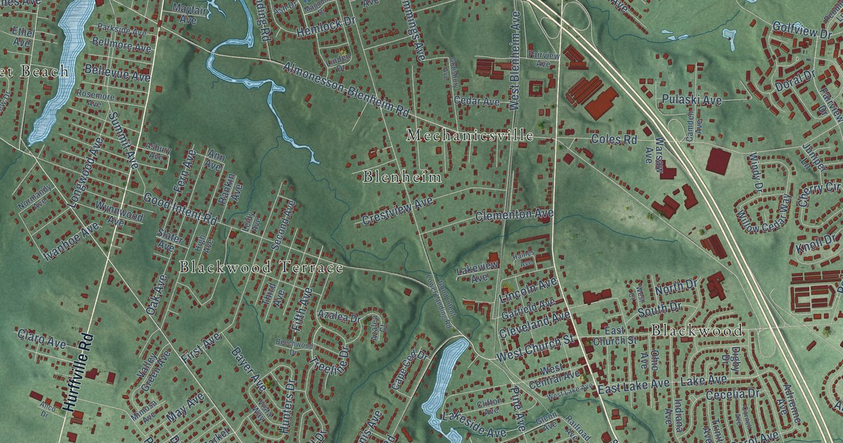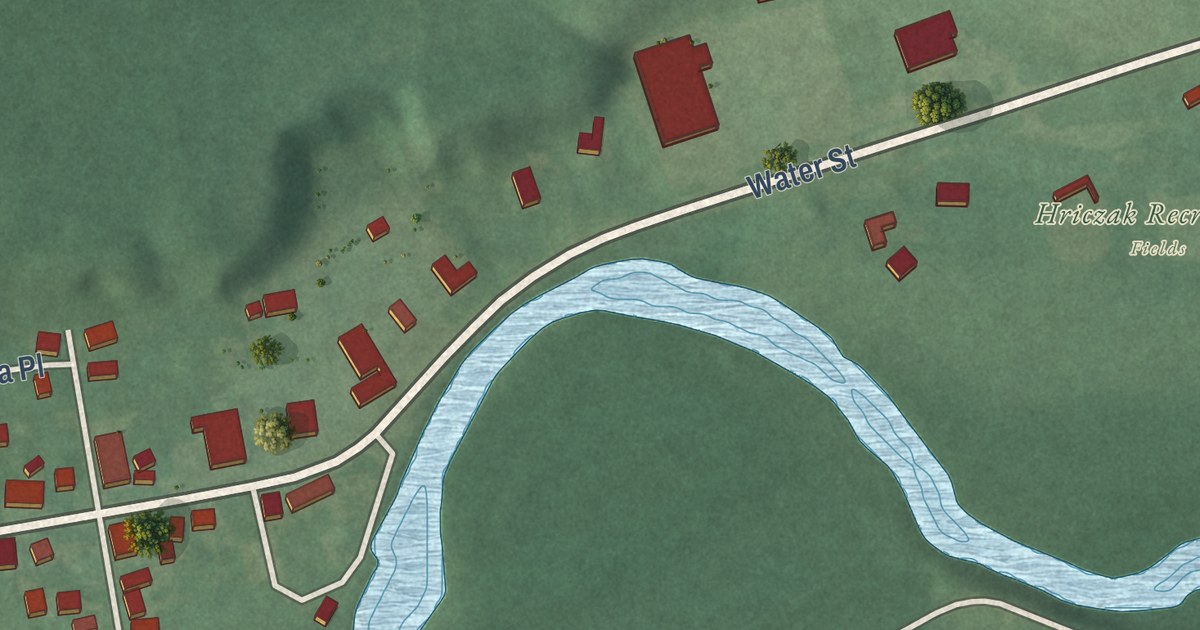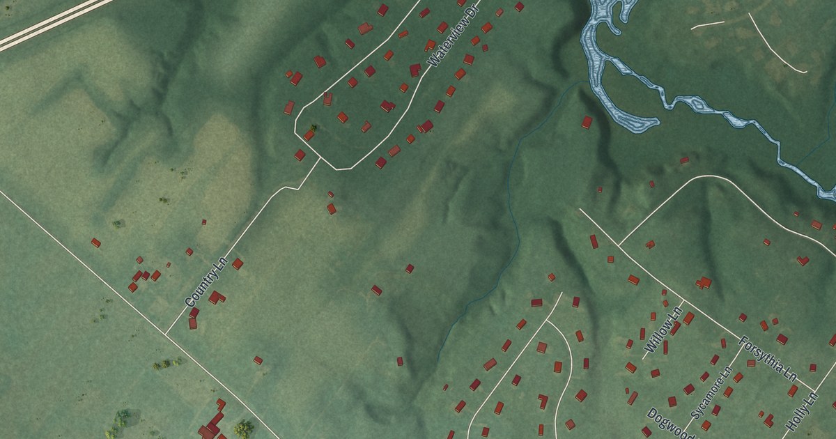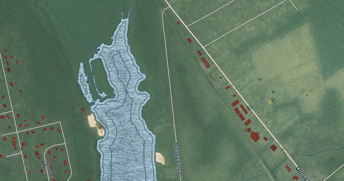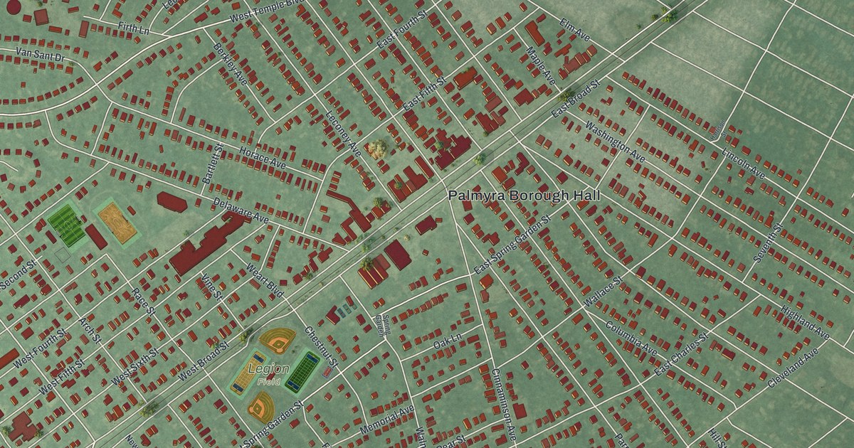
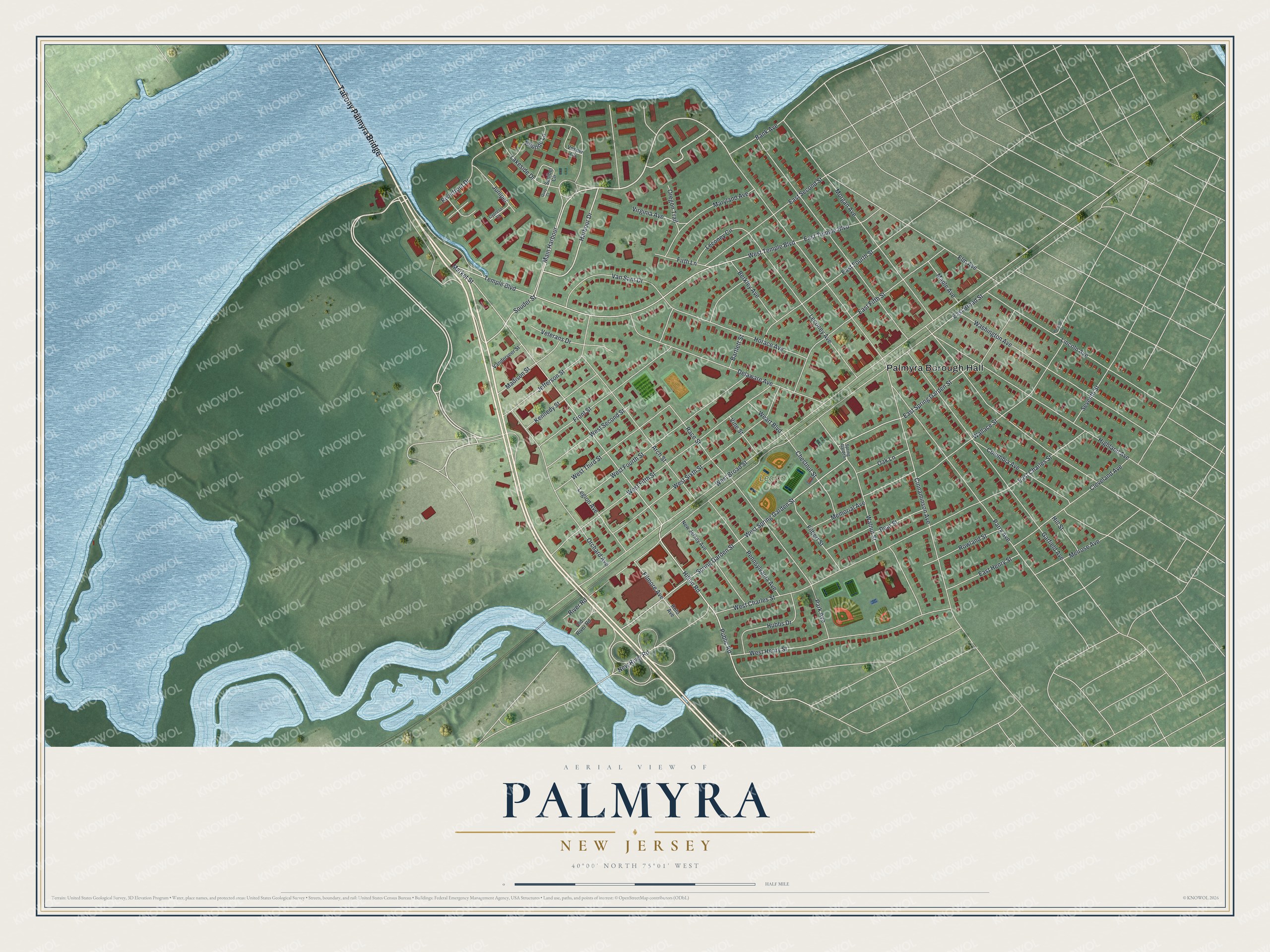
This beautifully detailed map of Palmyra, New Jersey was created in 2026 using aerial imagery combined with modern topographical, census, street and landmark data. It’s a one-of-a-kind view of Palmyra that combines accurate data with a vintage aesthetic. The map shows every building in its true location, many of the roads carry their names, and the shaded topographic relief shows the shape of the land.
Explore an aerial view of Palmyra, New Jersey
On the map you’ll find Palmyra Borough Hall and Tacony Palmyra Bridge, along with Harbour Drive, Souder Street, Hilton Road, and more. If you look closely you can even find your house accurately drawn in its correct location. Zoom in on the preview to look for yours.
Did You Know?
The community was first called Texas. Isaiah Toy, a local landowner descended from the first Swedish settlers, owned stock in the Camden and Amboy Railroad. He wanted a post office, so in 1849 he got the railroad to rename the station Palmyra. He loved ancient history, and Palmyra was an old trading city in Syria.
Take a closer look at the Palmyra map
Names on this map
These names are printed on this map.
Places: Palmyra Borough Hall and Legion Field.
Streets and roads: Tacony Palmyra Bridge, Harbour Drive, Souder Street, Hilton Road, Public Road, Market Street, Temple Boulevard, West Temple Boulevard, East Broad Street, East Fourth Street, East Spring Garden Street, East Second Street.
More street names, A to Z
Arch Street, Bank Avenue, Bartlett Street, Berkley Avenue, Chestnut Street, Cinnaminson Avenue, Cleveland Avenue, Columbia Avenue, Cypress Court, Delaware Avenue, East Charles Street, East Fifth Street, East Henry Street, East Temple Boulevard, Ebbtide Lane, Elm Avenue, Filbert Street, Filmore Avenue, Firth Lane, Front Street, Garfield Avenue, Harrison Street, Highland Avenue, Hill Street, Horace Avenue, Hubbs Drive, Jefferson Street, Juniper, Kennedy Street, Lakeside Drive, Leconey Avenue, Leconey Circle, Legion Avenue, Lincoln Avenue, Madison Street, Main Harbour, Maple Avenue, Maryland Avenue, Melrose Avenue, Memorial Avenue, Morgan Avenue, New Jersey Avenue, New River Road, Oak Lane, Old River Road, Orchard Avenue, Oregon Trail, Park Avenue, Parry Avenue, Pear Street, Pennsylvania Avenue, Quay Court, Race Street, Riverfront Drive, River Road, Roto Avenue, Rowland Street, Sanibel Circle, Seventh Street, Spring Garden, Spring Garden Street, Vanderveer Street, Van Sant Drive, Vesper Circle, Veterans Drive, Vine Street, Virginia Avenue, Wallace Street, Walnut Street, Washington Avenue, Weart Boulevard, West Broad Street, West Charles Street, West Fifth Street, West Fourth Street, West Henry Street, West Second Street, West Sixth Street, West Spring Garden Street, West Third Street.
See it on a wall
The Palmyra map as an 18 x 24 inch print in a black frame.

This beautifully detailed map of Palmyra makes an attractive addition to your office, library, or den, and it can even be used to teach children the geography and history of the area. It also makes a great gift for anyone who grew up in Palmyra or moved away. When you’re done exploring, click here to get your copy of the Palmyra map.