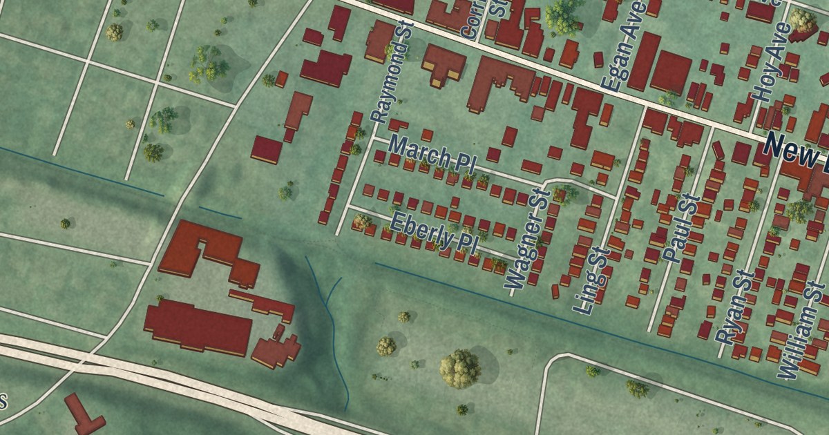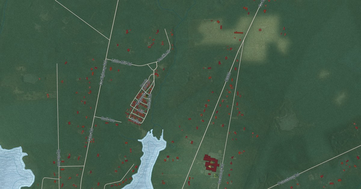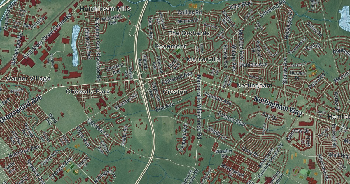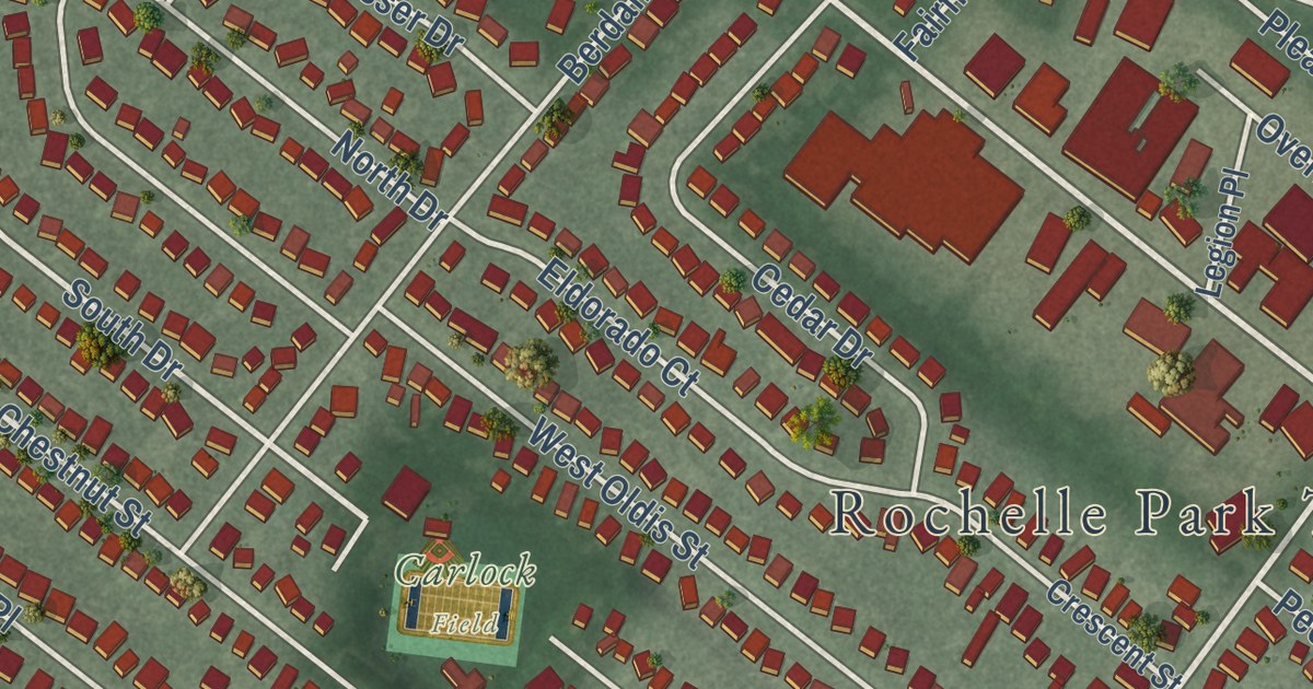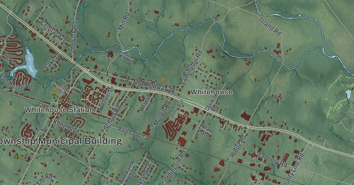
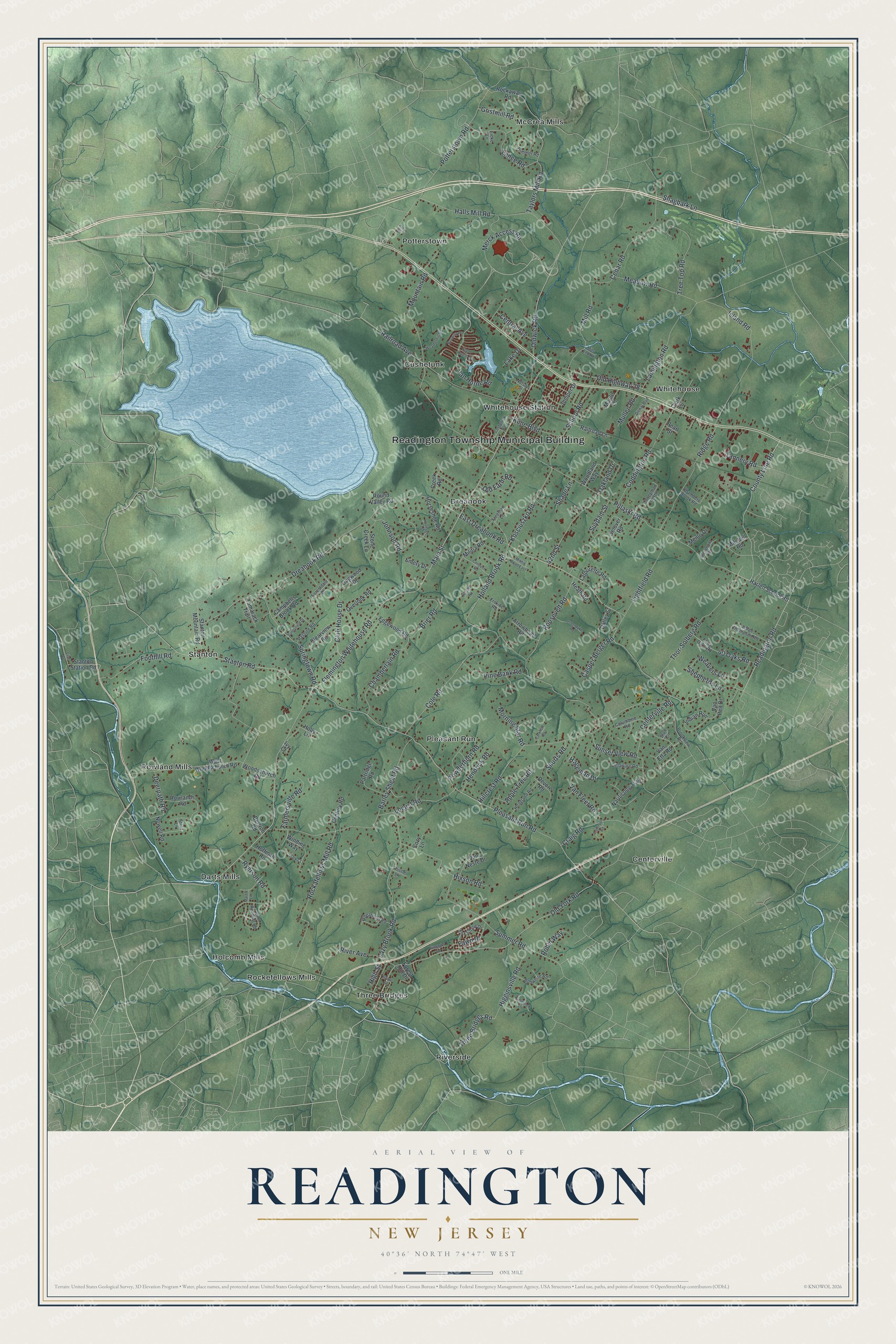
This beautifully detailed map of Readington, New Jersey was created in 2026 using aerial imagery combined with modern topographical, census, street and landmark data. It’s a one-of-a-kind view of Readington that combines accurate data with a vintage aesthetic. The map shows every building in its true location, many of the roads carry their names, and the shaded topographic relief shows the shape of the land.
Explore an aerial view of Readington, New Jersey
On the map you’ll find Readington Township Municipal Building, Centerville, Cushetunk, Darts Mills, Dreahook, and Holcomb Mills, along with Main Street, Readington Road, Old York Road, Pulaski Road, and more. If you look closely you can even find your house accurately drawn in its correct location. Zoom in on the preview to look for yours.
Did You Know?
Readington was named for John Reading, the first governor of colonial New Jersey who was born in the province. A royal charter from King George II created the township in 1730. It was the first new township formed after Hunterdon became its own county. Today it is the largest township in Hunterdon County.
Take a closer look at the Readington map
Names on this map
These names are printed on this map.
Places: Readington Township Municipal Building, Centerville, Cushetunk, Darts Mills, Dreahook, Holcomb Mills, McCrea Mills, Pleasant Run, Potterstown, Riverside, Rockefellows Mills, Rowland Mills, Stanton, Three Bridges, Whitehouse and Whitehouse Station.
Streets and roads: Merck Access Road, Main Street, Readington Road, Old York Road, County Line Road, Pulaski Road, Kosciuszko Road, East Dreahook Road, High Street, Pleasant Run Road, Dreahook Road, Hillcrest Road.
More street names, A to Z
40 Oaks Road, 42nd Street, Anderson Road, Apple Tree Road, Aray Drive, Arrowhead Road, Barley Sheaf Road, Bertron Road, Bobwhite Road, Bouwrey Place, Brier Road, Brookview Road, Campbells Brook Road, Carkhuff Road, Casper Berger Road, Cedar Road, Centerville Road, Central Avenue, Century Road, Chamberlain Road, Chambers Brook Road, Clark Court, Clark Lane, Clearview Road, Club House Drive, Coddington Road, Cole Road, Columbine Road, Conover Road, Cozy Lane, Craig Road, Creek Road, Cushetunk Avenue, Dalley Street, Deerpath Road, Delaware Road, Devore Road, Ditmar Boulevard, Dogwood Drive, Edgewood Road, Eicke Lane, Emery Drive, Erskine Road, Farmersville Road, Fawn Drive, Flemington Whitehouse Road, Foothill Road, Forestdale Drive, Forest Hill Drive, Forty Oaks Road, Fox Chase Drive, Freeman Lane, Glenmont Road, Goldfinch Lane, Gristmill Road, Groendyke Road, Grove Street, Hageman Drive, Halls Mill Road, Harlen School Road, Heath Road, Hendrick Road, Heritage Drive, Higginsville Road, Hixson Road, Hoagland Road, Hoffman Road, Holland Brook Road, Holly Lane, Honeyman North, Horseshoe Road, Housel Road, Indian Run, Island Road, Ivy Court, John Reading Road, Johnson Road, Judge Thompson Road, Juniper Drive, Kline Boulevard, Lake Drive, Lamington Road, Lance Road, Latourette Road, Lazy Brook Road, Lightfield Road, Lilac Drive, Locust Road, Maple Lane, Martin Lane, Meadow Road, Menlo Drive, Militia Road, Militia Road East, Mill Road, Mills End Road, Mitchell Road, Morning Star Road, Mountain Road, Mullen Road, Nariticong Trail, Nelson Street, Newell Road, Oakland Drive, Old Farm Road, Old Highway 28, Oldwick Road, Overlook Road, Partridge Road, Pasture Road, Pearl Street, Pine Bank Road, Pittenger Road, Potterstown Road, Powderhorn Road, Railroad Avenue, Railroad Lane, Ridge Road, River Avenue, Robin Way, Rockafellows Mill Road, Rockaway Road, Roosevelt Road, Round Valley Road, Rowlands Road, Ryerson Road, School Road, Selover Road, Shade Lane, Shagbark Lane, Shepherds Lane, Shurts Road, Springtown Road, Stanton Mountain Road, Stanton Road, Stanton Station Road, Stone Creek Lane, Stone House Drive, Stout Lane, Stull Circle, Summer Road, Sunnyfield Drive, Sunset View Road, Suydam Street, Tamarack Trail, Tannery Road, Taylors Mill Road, Thistle Lane, Thor-Solberg Road, Three Bridges Road, Tree Top Road, Trimmer Road, Van Etta Road, Van Fleet Road, Van Horne Road, Van Neste Drive, Van Pelt Drive, Weatherhill Road, Weavers Lane, West Woodschurch Road, Wheatfield Road, Winding Way, Woodland Way, Woodschurch Road.
See it on a wall
The Readington map as an 18 x 24 inch print in a black frame.

This beautifully detailed map of Readington makes an attractive addition to your office, library, or den, and it can even be used to teach children the geography and history of the area. It also makes a great gift for someone who left Readington and still calls it home. When you’re done exploring, click here to get your copy of the Readington map.