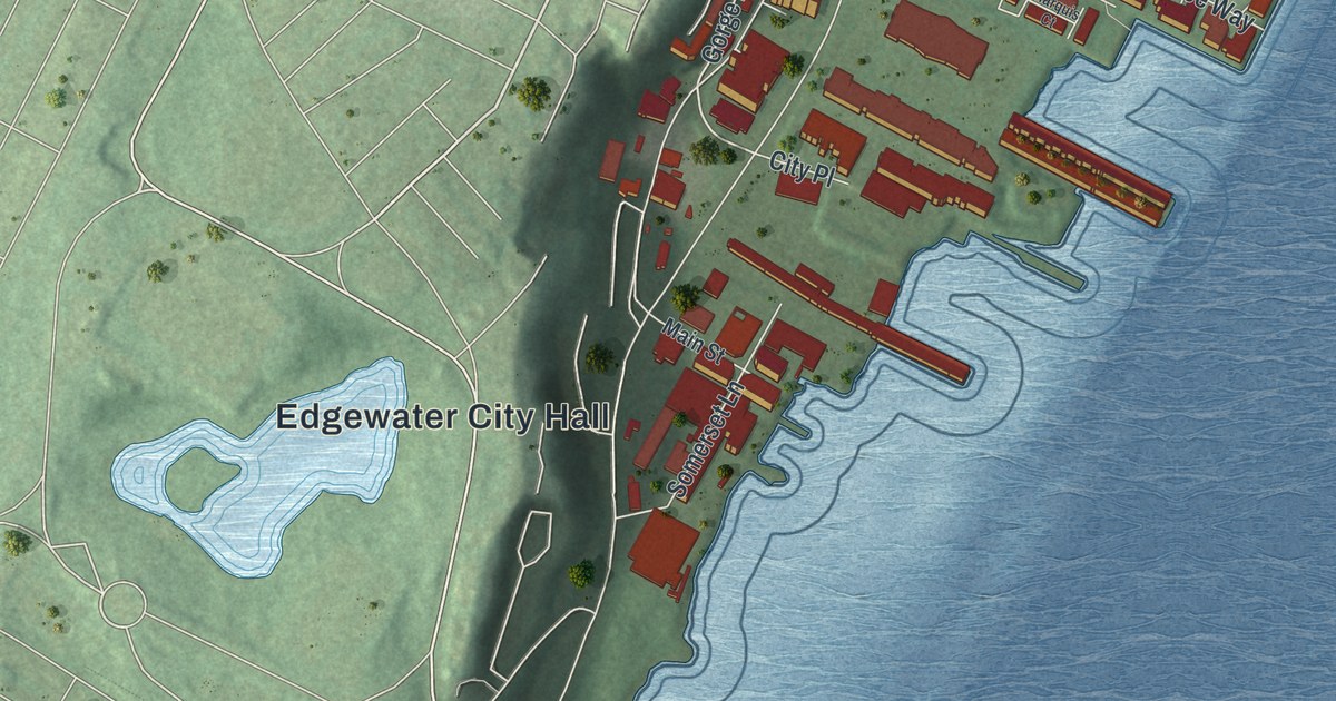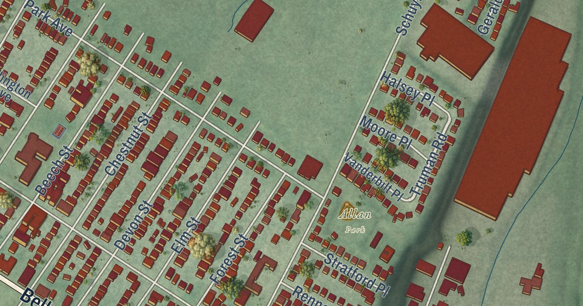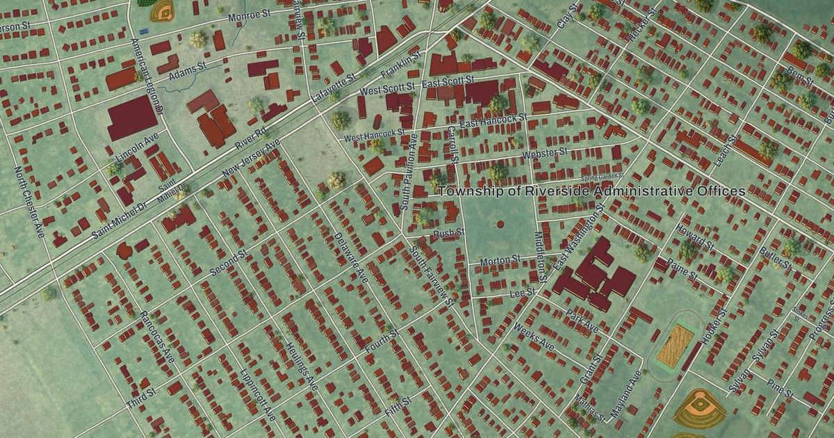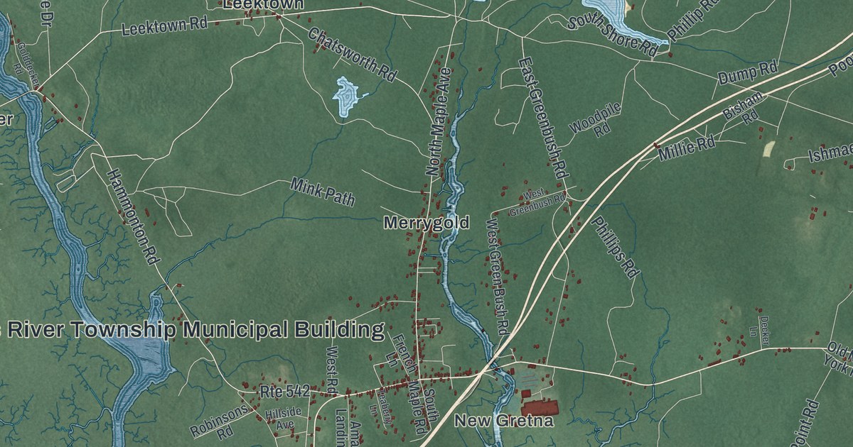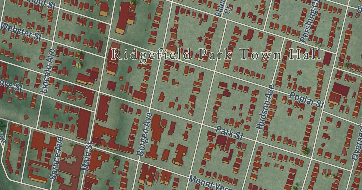
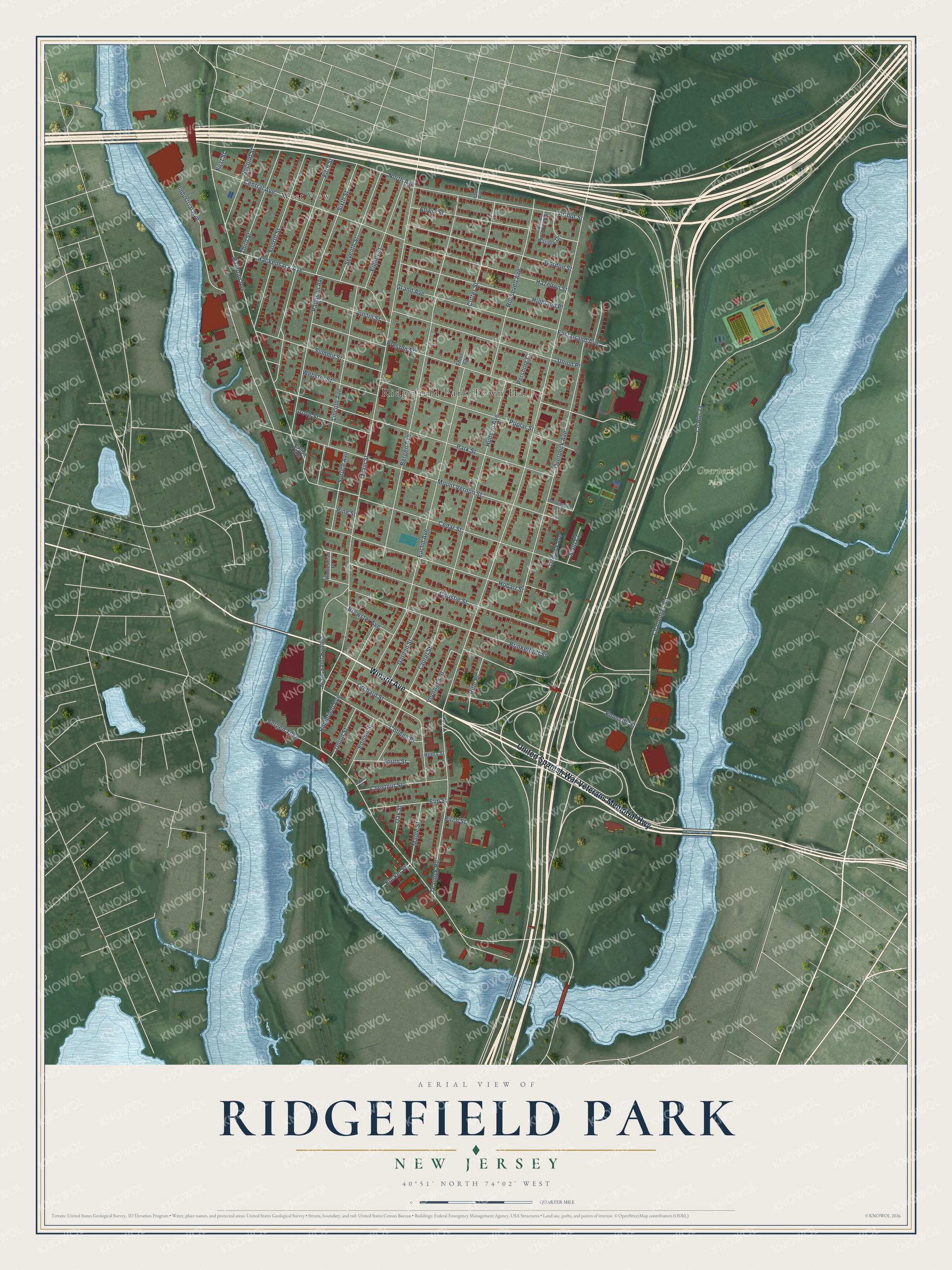
This beautifully detailed map of Ridgefield Park, New Jersey was created in 2026 using aerial imagery combined with modern topographical, census, street and landmark data. It’s a one-of-a-kind view of Ridgefield Park that combines accurate data with a vintage aesthetic. The map shows every building in its true location, many of the roads carry their names, and the shaded topographic relief shows the shape of the land.
Explore an aerial view of Ridgefield Park, New Jersey
On the map you’ll find Ridgefield Park Town Hall, West View, and Overpeck Park, along with United Spanish War Veterans Memorial Highway, Winant Avenue, Challenger Road, Teaneck Road, and more. If you look closely you can even find your house accurately drawn in its correct location. Zoom in on the preview to look for yours.
Did You Know?
Ridgefield Park held its first Fourth of July Parade in 1894. It ranks among the oldest such parades in the country. In 2009, the village dropped its July 4 fireworks to save 50,000 dollars in hard times. The fireworks have since come back.
Take a closer look at the Ridgefield Park map
Names on this map
These names are printed on this map.
Places: Ridgefield Park Town Hall, Overpeck Park and West View.
Streets and roads: United Spanish War Veterans Memorial Highway, Winant Avenue, Challenger Road, Teaneck Road, Main Street, Bergen Turnpike, Bergen Avenue, Preston Street, Railroad Avenue, Euclid Avenue, Mount Vernon Street, Overpeck Avenue.
More street names, A to Z
Alpine Court, Arthur Street, Austin Street, Barnes Drive, Barnes Drive West, Birch Street, Brewster Avenue, Brinkerhoff Street, Cedar Street, Central Avenue, Chestnut Street, Christie Street, College Place, County Route 33, Cutter Street, East Grand Avenue, Edison Street, Edwin Street, Ehler Court, Eighth Street, Elm Street, Emerson Street, Eucker Street, Fifth Street, First Street, Fourth Street, Garden Street, Gordon Street, Grand Avenue, Grove Street, Hackensack Avenue, Hazelton Street, Henry Street, Highland Place, Hille Place, Hobart Street, Homestead Place, Hudson Avenue, Industrial Avenue, Laurel Street, Lincoln Avenue, Main Saint Bypass, Maple Street, Morningside Lane, North Avenue, Oak Street, Orchard Street, Overlook Avenue, Park Avenue, Park Street, Paulison Avenue, Pershing Court, Pine Street, Poplar Street, Ridgefield Avenue, Roosevelt Avenue, Scott Court, Second Street, Seventh Street, Sixth Street, South Street, Spruce Avenue, Station Plaza, Summit Street, Third Street, Union Place, Union Street, Voorhees Place, Webster Street.
See it on a wall
The Ridgefield Park map as an 18 x 24 inch print in a black frame.

This beautifully detailed map of Ridgefield Park makes an attractive addition to your office, library, or den, and it can even be used to teach children the geography and history of the area. It also makes a great gift for anyone who grew up in Ridgefield Park or moved away. When you’re done exploring, click here to get your copy of the Ridgefield Park map.