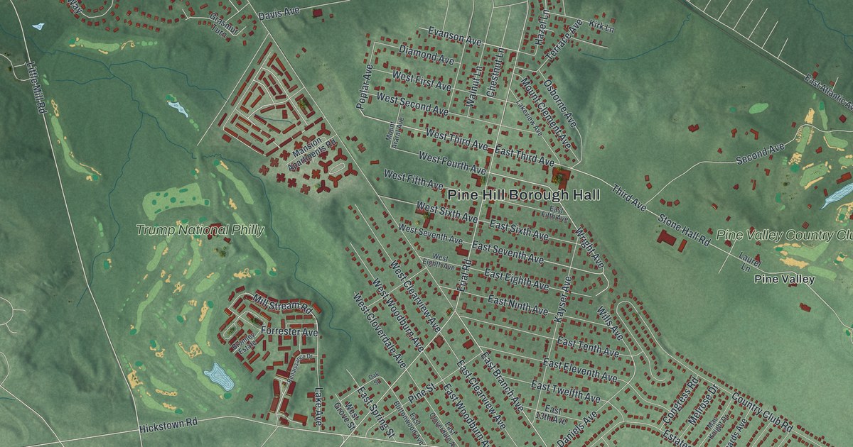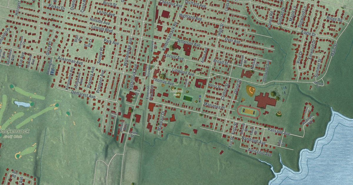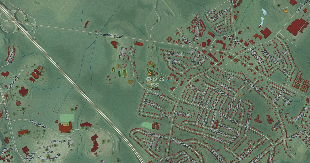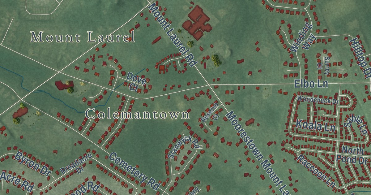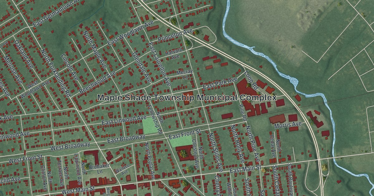
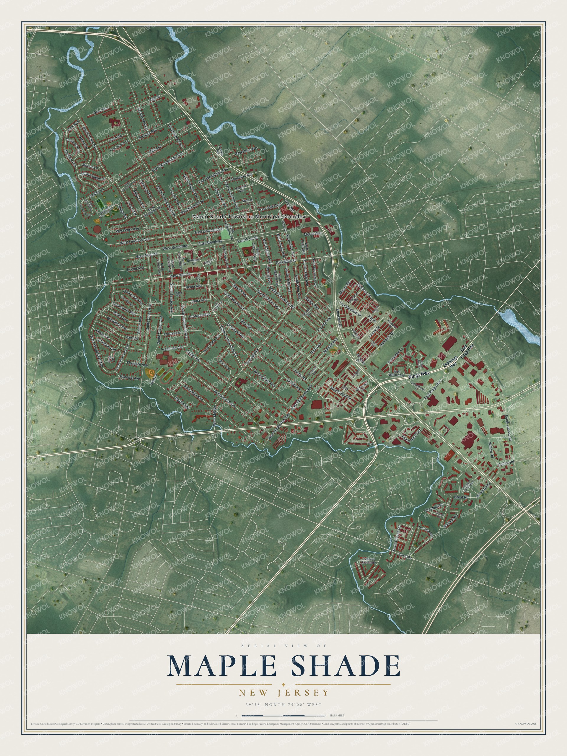
This beautifully detailed map of Maple Shade, New Jersey was created in 2026 using aerial imagery combined with modern topographical, census, street and landmark data. It’s a one-of-a-kind view of Maple Shade that combines accurate data with a vintage aesthetic. The map shows every building in its true location, many of the roads carry their names, and the shaded topographic relief shows the shape of the land.
Explore an aerial view of Maple Shade, New Jersey
On the map you’ll find Maple Shade Township Municipal Complex, along with Kings Highway, Old Kings Highway, Forklanding Road, Main Street, and more. If you look closely you can even find your house accurately drawn in its correct location. Zoom in on the preview to look for yours.
Did You Know?
On the evening of June 11, 1950, Martin Luther King Jr. and three friends were refused service at Mary’s Cafe in Maple Shade. They answered with a sit-in. Historians believe it was his first use of the nonviolent civil disobedience that later defined his civil rights work.
Take a closer look at the Maple Shade map
Names on this map
These names are printed on this map.
Places: Maple Shade Township Municipal Complex.
Streets and roads: Kings Highway, South Forklanding Road, East Main Street, West Main Street, Maplewood Drive, South Church Road, North Forklanding Road, West Mill Road, Emerson Drive, East Mill Road, South Clinton Avenue, Madison Drive.
More street names, A to Z
Adams Bride Lane, Adams Drive, Alexander Avenue, Anna Avenue, Arlington Avenue, Bailey Avenue, Beechwood Avenue, Belair Avenue, Birch Avenue, Briar Road, Brubaker Lane, Buena Vista Avenue, Buttonwood Avenue, Cambridge Circle, Cherry Avenue, Christopher Columbus Avenue, Church Road, Clover Path, Coles Avenue, Collins Lane, Collins Road, Cornell Avenue, County Avenue, Crawford Avenue, Cropwell Drive, Cutler Avenue, Dana Run, East Broadway, East Front Street, East Germantown Avenue, East Gradwell Avenue, East Kings Highway, East Laurelton Avenue, East Linwood Avenue, East Park Avenue, East Roland Avenue, East Rudderow Avenue, East Woodcrest Avenue, East Woodlawn Avenue, Elm Avenue, Estate Road, Euclid Avenue, Evergreen Circle, Farm House Lane, Farnsworth Avenue, Fernwood Avenue, Fifth Avenue, Florence Avenue, Fox Meadow Drive, Frederick Avenue, Gainor Avenue, Gardenia Drive, Glendale Avenue, Gradwell Avenue, Great Road, Greenwood Avenue, Hamilton Road, Harvard Avenue, Haverford Avenue, Helen Avenue, Heritage Avenue, High Street, Indian Queen Lane, Ivy Court, Jackson Drive, Kent Avenue, Lanci Road, Laurel Drive, Lincoln Avenue, Loop Road, Margaret Avenue, Marigold Drive, Marshall Drive, Martin Avenue, Matlack Road, Mecray Lane, Melrose Avenue, Merion Lane, Mildred Avenue, Morris Avenue, Nagle Avenue, North Cedar Avenue, North Chestnut Avenue, North Clinton Avenue, North Coles Avenue, North Fellowship Road, North Holly Avenue, North Lippincott Avenue, North Maple Avenue, North Pine Avenue, North Poplar Avenue, North Stiles Avenue, North Terrace Avenue, Oakland Avenue, Oakwood Drive, Old Kings Highway, Orchard Avenue, Overbrook Avenue, Oxford Drive, Paul Road, Perimeter Lane, Pickwick Apartment, Pine Road, Princeton Avenue, Richards Avenue, Ridge Road, Rockland Avenue, Rose Avenue, Ruth Avenue, Ryans, Ryans Run East, Rynning Avenue, Salmon Avenue, Schoolhouse Lane, South Boulevard Avenue, South Cedar Avenue, South Coles Avenue, South Fellowship Road, South Holly Avenue, South Lenola Road, South Lippincott Avenue, South Maple Avenue, South Pine Avenue, South Poplar Avenue, South Terrace Avenue, South Walnut Avenue, Spruce Avenue, Stinson, Sunflower Road, Sunset Avenue, Thomas Avenue, Village of Stoney Run, Wallace Avenue, Waverly Avenue, West Broadway, West Center Avenue, West Front Street, West Germantown Avenue, West Linwood Avenue, West Park Avenue, West Roland Avenue, West Rudderow Avenue, West Walnut Avenue, West Woodcrest Avenue, West Woodlawn Avenue, Willow Road, Wilson Road, Windsor Avenue, Woodbine Avenue, Wyndale Avenue.
See it on a wall
The Maple Shade map as an 18 x 24 inch print in a black frame.

This beautifully detailed map of Maple Shade makes an attractive addition to your office, library, or den, and it can even be used to teach children the geography and history of the area. It also makes a great gift for someone who left Maple Shade and still calls it home. When you’re done exploring, click here to get your copy of the Maple Shade map.