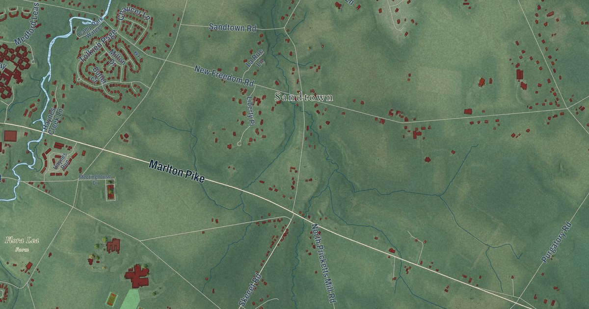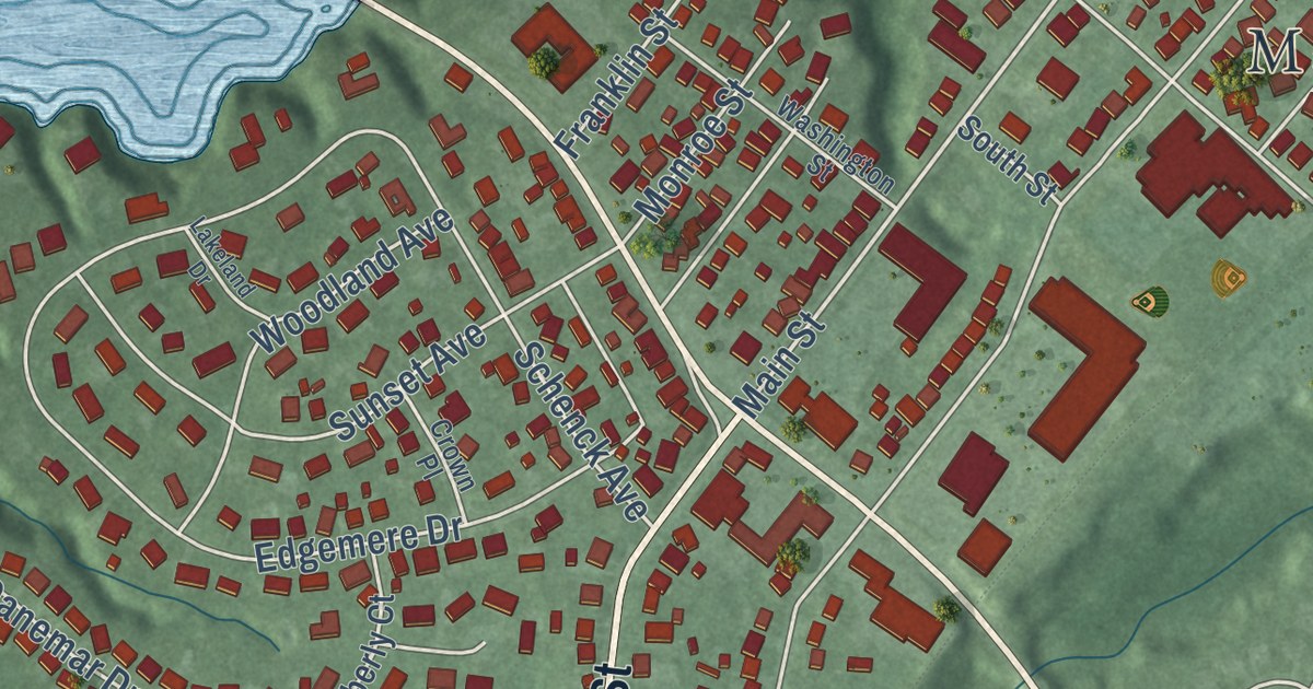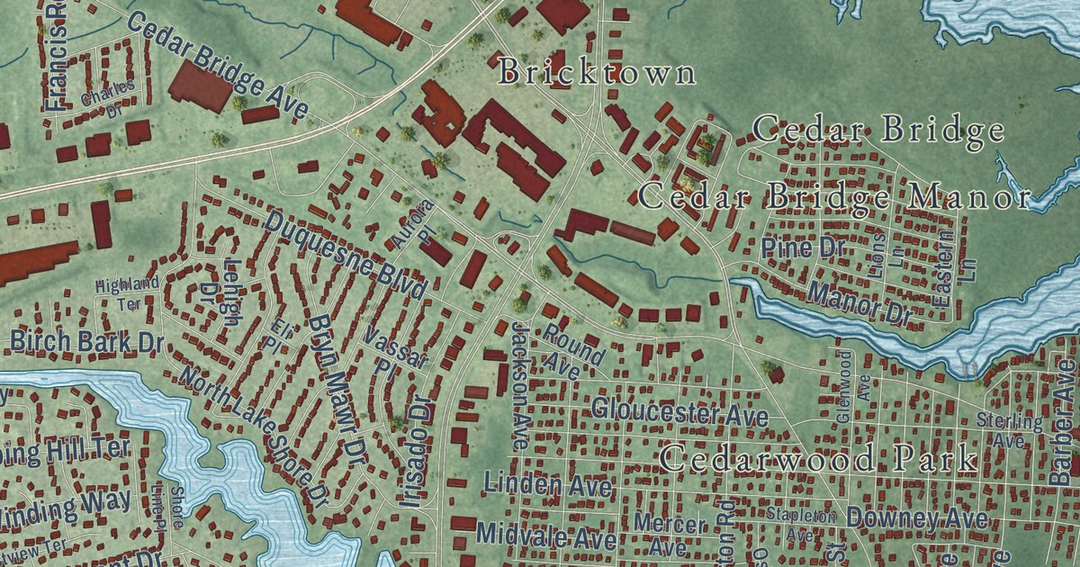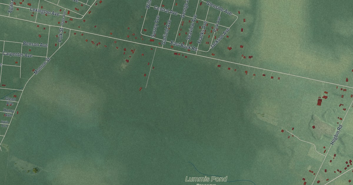
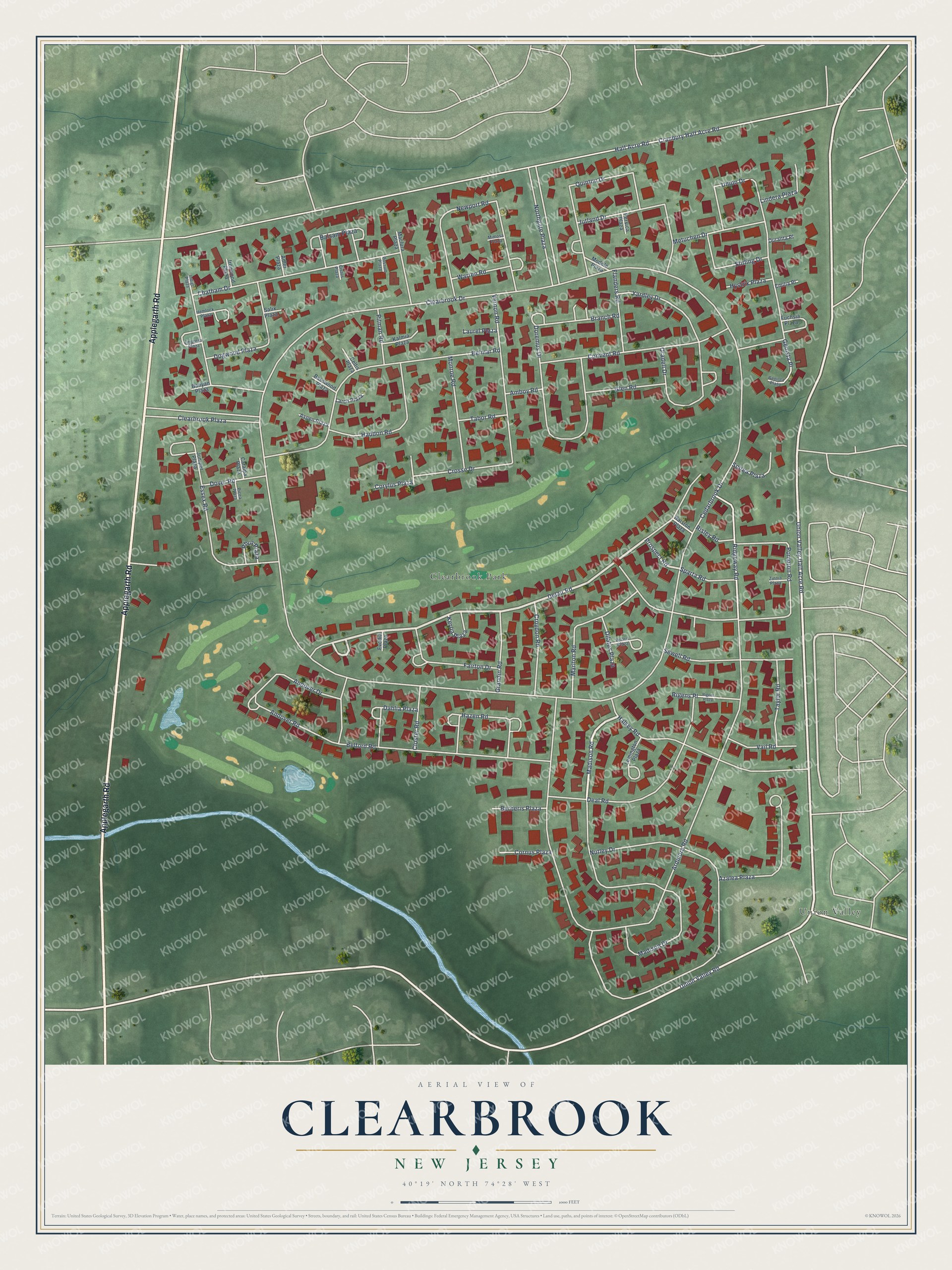
This beautifully detailed map of Clearbrook, New Jersey was created in 2026 using aerial imagery combined with modern topographical, census, street and landmark data. It’s a one-of-a-kind view of Clearbrook that combines accurate data with a vintage aesthetic. The map shows every building in its true location, many of the roads carry their names, and the shaded topographic relief shows the shape of the land.
Explore an aerial view of Clearbrook, New Jersey
On the map you’ll find Clearbrook Park and Union Valley, along with Applegarth Road, Union Valley Half Acre Road, Halsey Road, Madison Road, Delair Road, Prospect Road, Ridgeway Road, Clearbrook Drive, Ardmore Road, Half Acre Road, and more. If you look closely you can even find your house accurately drawn in its correct location. Zoom in on the preview to look for yours.
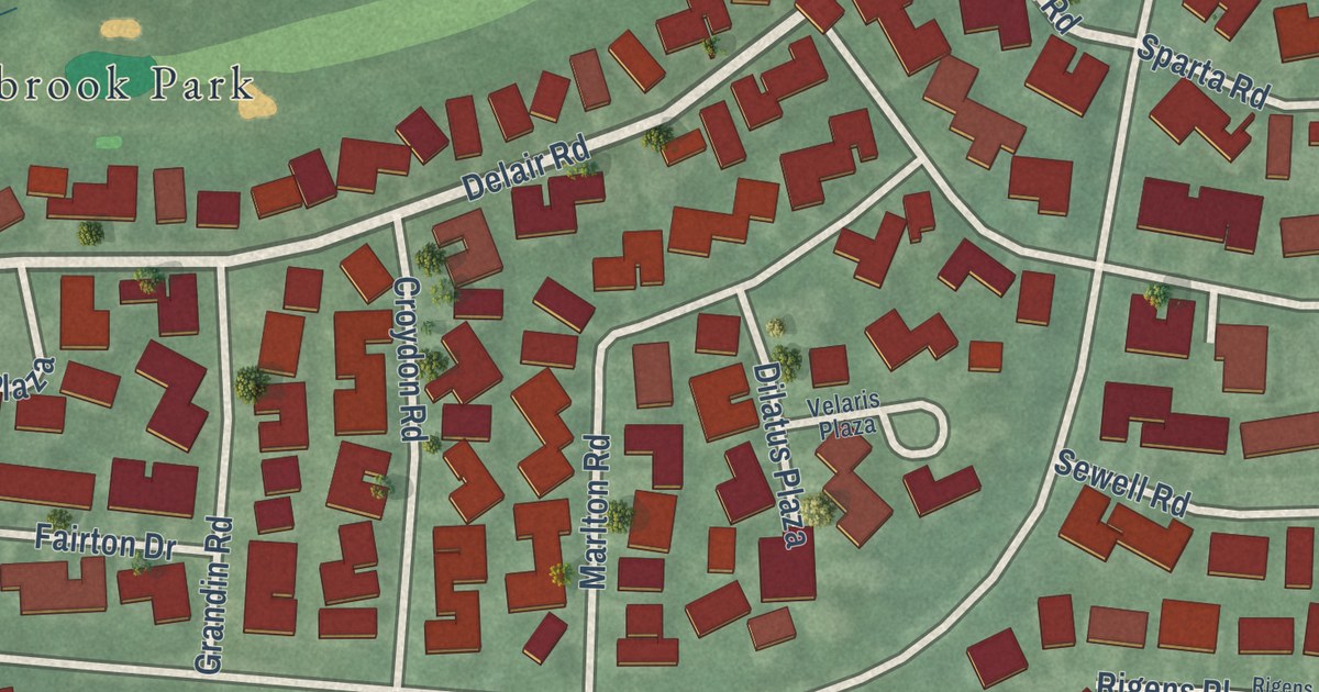
Take a closer look at the Clearbrook map
Street and place names on the Clearbrook, New Jersey map
These names are printed on the map of Clearbrook, New Jersey.
Places: Clearbrook Park and Union Valley.
Streets and roads: Applegarth Road, Union Valley Half Acre Road, Halsey Road, Madison Road, Delair Road, Prospect Road, Ridgeway Road, Clearbrook Drive, Ardmore Road, Half Acre Road, Cranbury Half Acre Road, Chatham Drive.
More street names, A to Z
Adler Plaza, Amboy Road, Andover Drive, Andover Road, Aspen Plaza, Azalea Plaza, Balsam Plaza, Banyan Plaza, Basswood Plaza, Belford Road, Belmar Road, Berberis Plaza, Branch Road, Catalpa Plaza, Cedarbrook Drive, Celtis Plaza, Cistus Plaza, Clearbrook Plaza, Closter Road, Convent Road, Cornus Plaza, Corylus Plaza, Crosse Drive, Croydon Road, Dahlia Plaza, Deal Road, Dilatus Plaza, Dogwood Plaza, Doremus Drive, Dover Road, Duranta Place, Emilia Place, Empress Plaza, Essex Road, Evodia Plaza, Fairton Drive, Flanders Road, Fuchsia Plaza, Genista Place, Genista Plaza, Glen Road, Grandin Road, Haddon Road, Hazen Road, Hemlock Plaza, Hystrix Plaza, Indigo Plaza, Ironwood Plaza, Juniper Plaza, Jutland Drive, Kalmia Plaza, Kerria Plaza, Larch Plaza, Laurel Plaza, Lemington Plaza, Lindera Plaza, Maclura Plaza, Madison Drive, Marlton Road, Metuchen Drive, Mimosa Plaza, Modele Plaza, Monroe Road, Newport Road, Northgate Plaza, Nutley Drive, Oradell Drive, Persica Plaza, Picea Plaza, Pitman Road, Pompton Road, Possum Plaza, Quinton Drive, Ralston Plaza, Rhus Plaza, Rigens Place, Rigens Plaza, Risley Road, Salix Plaza, Sewell Road, Sparta Road, Spirea Plaza, Stirling Drive, Tabor Road, Taylor Road, Union Drive, Union Valley Road, Vail Road, Velaris Plaza, Vernon Road, Warren Road, Yardley Drive, Zinnia Plaza.
See the Clearbrook, New Jersey map on a wall
The Clearbrook map as an 18 x 24 inch print in a black frame.

This beautifully detailed map of Clearbrook makes an attractive addition to your office, library, or den, and it can even be used to teach children the geography and history of the area. It also makes a great gift for anyone who grew up in Clearbrook or moved away. When you’re done exploring, click here to get your copy of the Clearbrook map.