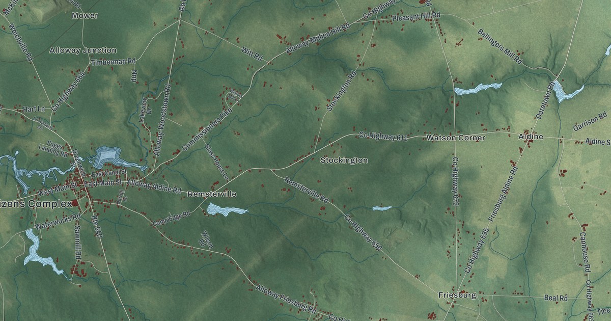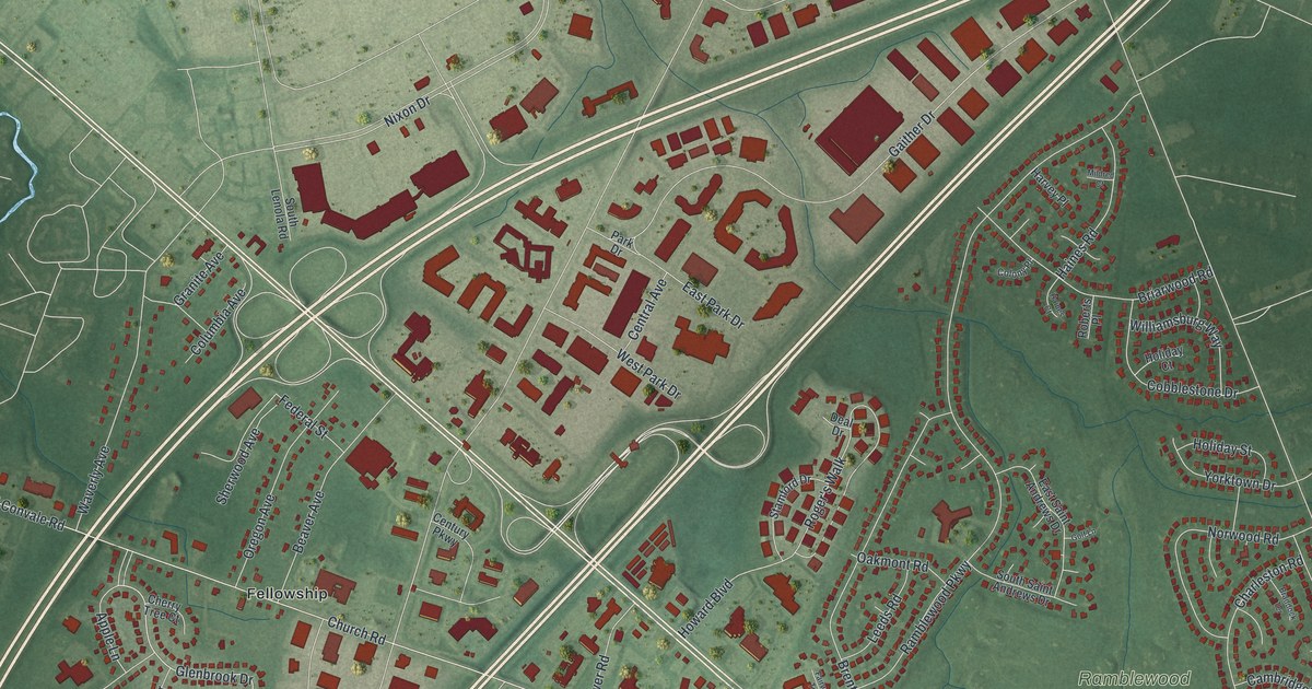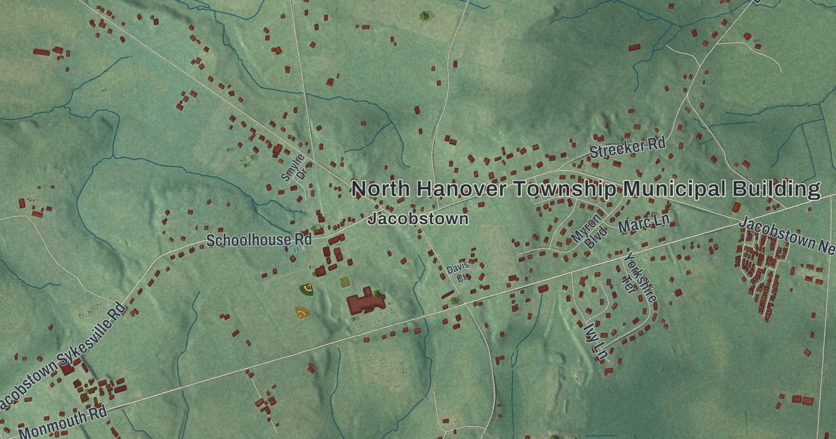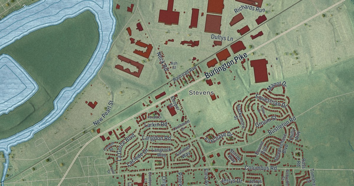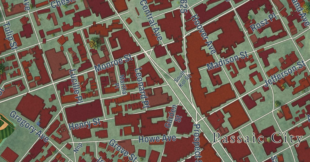
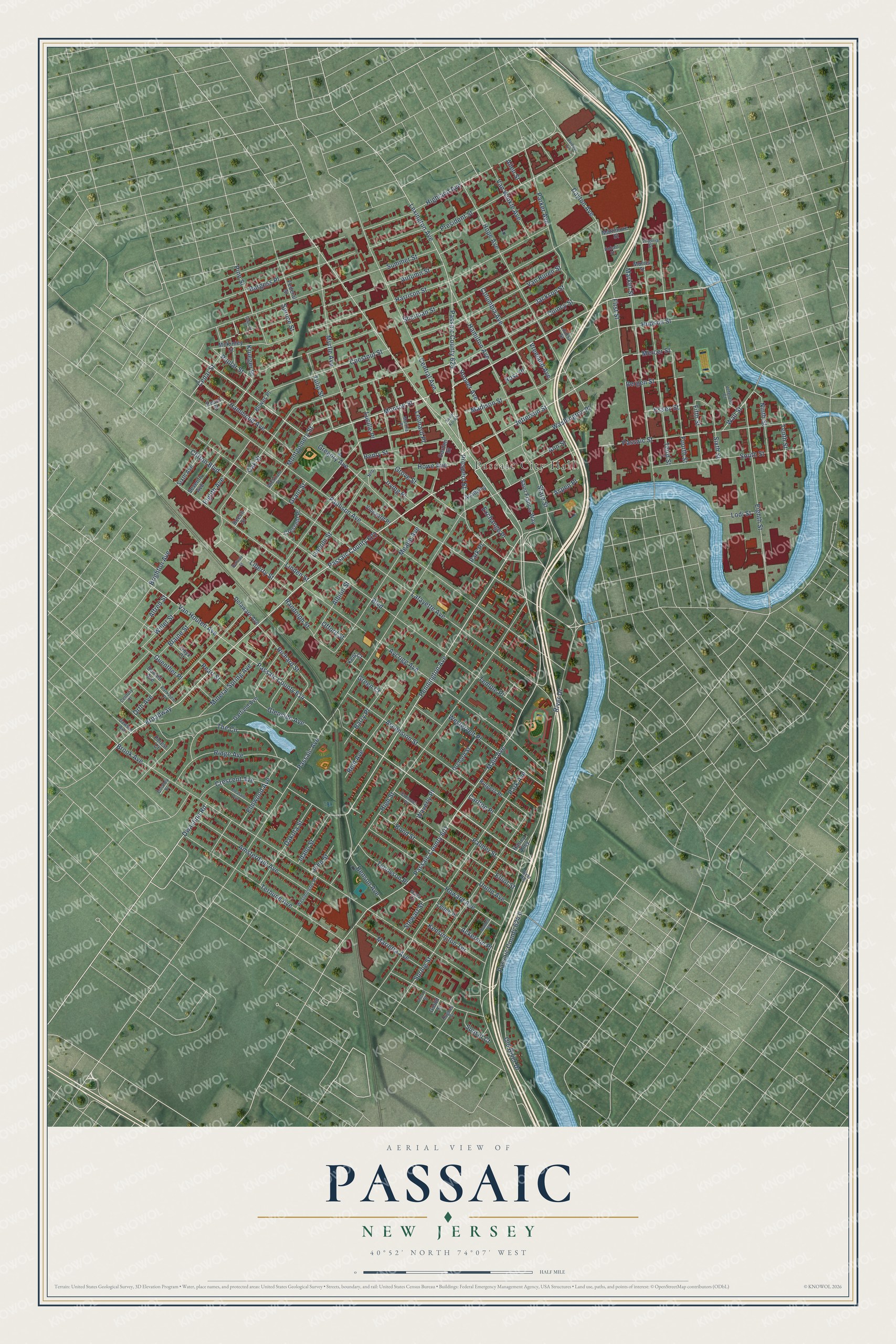
This beautifully detailed map of Passaic, New Jersey was created in 2026 using aerial imagery combined with modern topographical, census, street and landmark data. It’s a one-of-a-kind view of Passaic that combines accurate data with a vintage aesthetic. The map shows every building in its true location, many of the roads carry their names, and the shaded topographic relief shows the shape of the land.
Explore an aerial view of Passaic, New Jersey
On the map you’ll find Passaic City Hall, along with Gregory Avenue, Monroe Street, Pennington Avenue, Van Houten Avenue, and more. If you look closely you can even find your house accurately drawn in its correct location. Zoom in on the preview to look for yours.
Did You Know?
The village was once called Acquackanonk Landing. In 1854 Alfred Speer and Judge Henry Simmons fought over its name. Simmons wanted to keep the old one. Speer wanted the simpler Passaic Village. Speer was losing, so he got the U.S. Postmaster General to adopt his choice. He hung a Passaic sign at the railroad depot, and the new name stuck.
Take a closer look at the Passaic map
Names on this map
These names are printed on this map.
Places: Passaic City Hall.
Streets and roads: Gregory Avenue, Monroe Street, Pennington Avenue, Passaic County 622, Van Houten Avenue, Myrtle Avenue, Jefferson Street, Wall Street, Mercer Street, Dwasline Road, Main Avenue, Passaic County 601.
More street names, A to Z
Academy, Ackerson Place, Albion Street, Alfred Street, Allen Street, Amsterdam Avenue, Ann Street, Anton Street, Ascension Street, Aspen Place, Autumn Street, Aycrigg Avenue, Barbour Avenue, Barry Place, Beech Street, Bellvale Street, Belmont Place, Benson Avenue, Bergen Street, Blaine Street, Bond Street, Boulevard, Bowes Place, Brighton Avenue, Broadway, Brook Avenue, Burgess Place, Carlton Place, Cedar Street, Central Avenue, Century Place, Chestnut Street, Clifton Boulevard, Columbia Avenue, Crescent Avenue, Crescent Place, Dakota Street, Dawson Avenue, Dayton Avenue, Degroot Place, Delaware Avenue, Donald Avenue, Eighth Avenue, Eighth Street, Elliot Street, Elmwood Avenue, Essex Street, Exchange Place, Federal Street, Fifth Street, First Street, Forest Court, Fourth Street, Garden Street, Garfield Avenue, Glenside Avenue, Gould Street, Gourley Street, Grant Street, Green Court, Grove Street, Guenther Place, Hamilton Avenue, Hammond Avenue, Harley Alley, Harrison Street, Henry Street, Highland Avenue, High Street, Hobart Street, Hoover Avenue, Hope Avenue, Howard Avenue, Howe Avenue, Hudson Street, Hughes Street, Idaho Street, Irving Place, Jackson Street, John Street, Kensington Terrace, Kent Court, Krueger Place, Lafayette Avenue, Leitch Place, Leonard Place, Lexington Avenue, Liberty Street, Lincoln Street, Linden Street, Lodi Street, Louisa Street, Lucille Place, Madison Street, Marietta Avenue, Market Street, Martha Place, Mass Court, Mattimore Street, McKinley Street, Meade Avenue, Mineral Spring Avenue, Montgomery Street, Morris Street, Ninth Street, Nnp, Oak Street, Offord Street, Old River Drive, Onyx Court, Orchard Street, Orth Avenue, Palmer Street, Park Avenue, Parker Avenue, Park Place, Parkview Place, Passaic Avenue, Passaic County 614, Passaic County 624 II, Passaic County 625, Passaic Street, Paulison Avenue, Peach Street, Pearl Street, Pine Street, Pleasant Avenue, Poplar Street, President Street, Prospect Street, Quincy Street, Randolph Street, Reid Avenue, Richard Street, Ridge Avenue, River Drive, River Road, Rosz Place, Rutgers Place, Saint Francis Way, Scoles Place, Seventh Avenue, Sherman Street, Sixth Avenue, Sixth Street, South Kol Square, South Street, Spring Street, Spruce Street, State Street, Stewart Street, Summer Street, Sunset Court, Temple Place, Tennyson Place, Tenth Street, Terhune Avenue, The Circle, Third Street, Tulip Street, Union Avenue, Van Buren Street, Van Winkle Avenue, Veterans Court, Vineyard Place, Virginia Street, Vreeland Avenue, Washington Place, Waverly Place, Westervelt Place, Westminster Place, Wickham Street, Willet Street.
See it on a wall
The Passaic map as an 18 x 24 inch print in a black frame.

This beautifully detailed map of Passaic makes an attractive addition to your office, library, or den, and it can even be used to teach children the geography and history of the area. It also makes a great gift for anyone who grew up in Passaic or moved away. When you’re done exploring, click here to get your copy of the Passaic map.