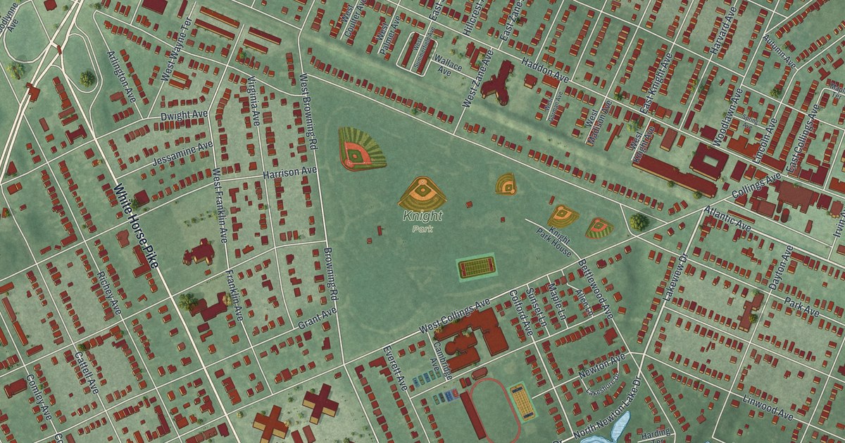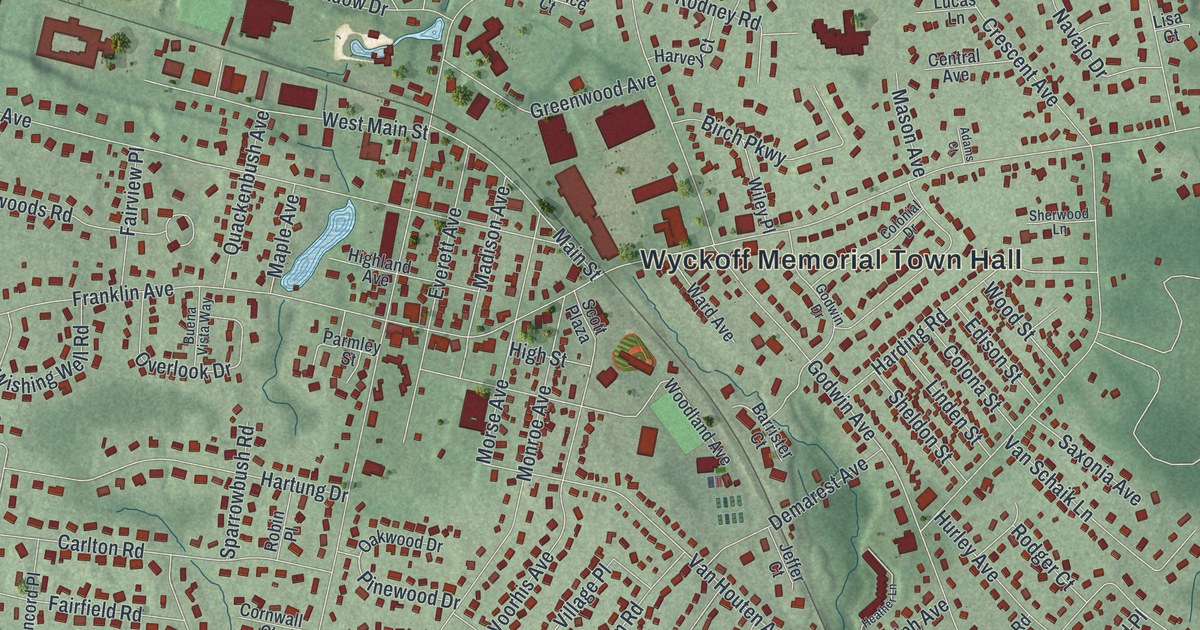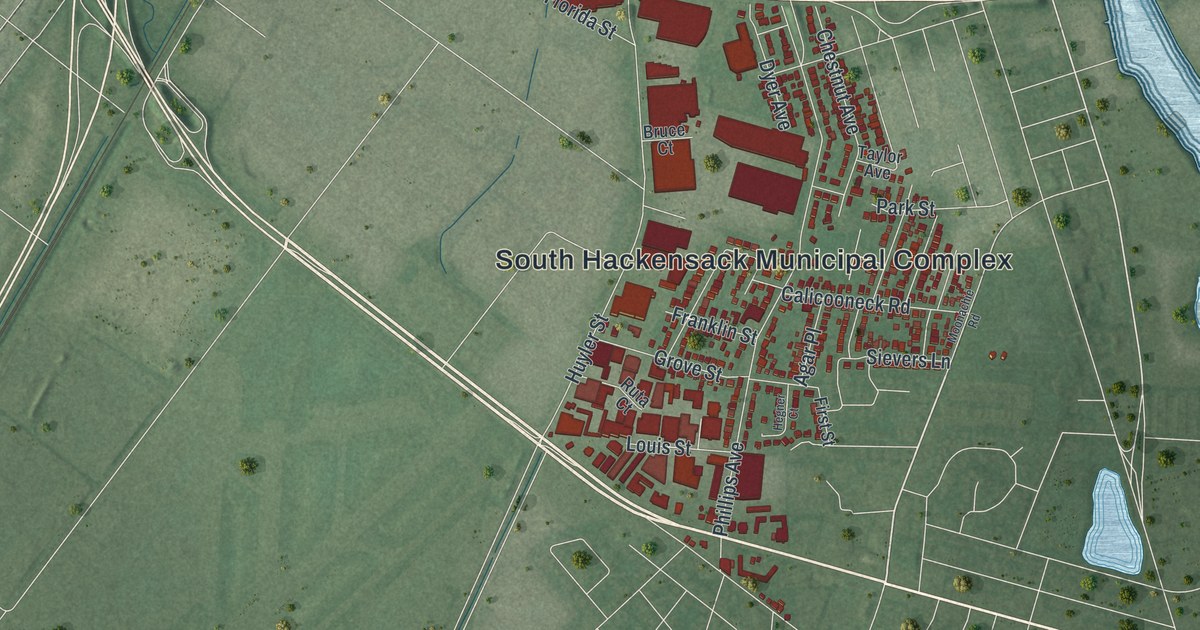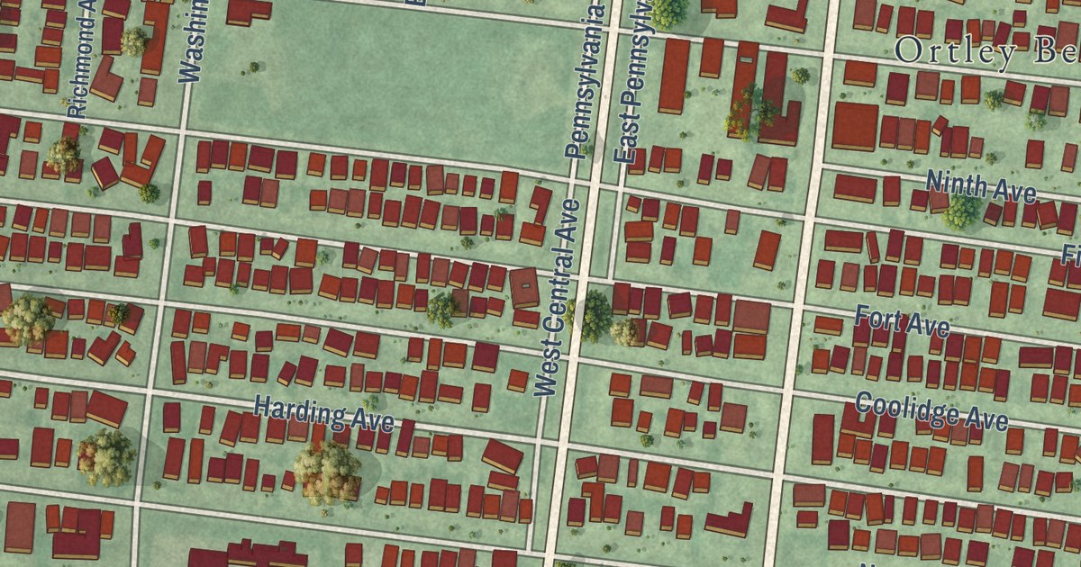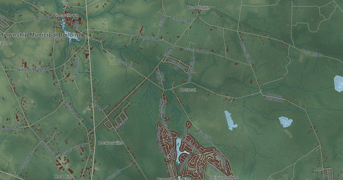
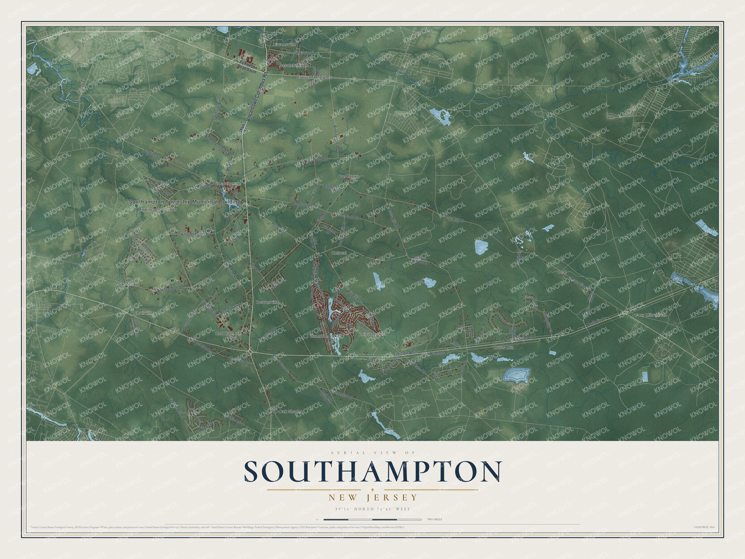
This beautifully detailed map of Southampton, New Jersey was created in 2026 using aerial imagery combined with modern topographical, census, street and landmark data. It’s a one-of-a-kind view of Southampton that combines accurate data with a vintage aesthetic. The map shows every building in its true location, many of the roads carry their names, and the shaded topographic relief shows the shape of the land.
Explore an aerial view of Southampton, New Jersey
On the map you’ll find Southampton Township Municipal Building, Beaverville, Buddtown, Burrs Mill, Chairville, and Crescent Heights, along with Vincentown Columbus Road, Mile Road, Indian Trail, Retreat Road, and more. If you look closely you can even find your house accurately drawn in its correct location. Zoom in on the preview to look for yours.
Did You Know?
Southampton was created on March 10, 1845, from part of Northampton Township, under the name Coaxen. That name lasted only about three weeks. On April 1, 1845, it was renamed Southampton Township.
Take a closer look at the Southampton map
Names on this map
These names are printed on this map.
Places: Southampton Township Municipal Building, Beaverville, Buddtown, Burrs Mill, Chairville, Crescent Heights, Ewansville, Four Mile Circle, Hampton Lakes, Leisuretowne, Lippincotts Corner, Oak Shade, Ong, Red Lion, Retreat, Sandtown, Scratch Ridge and Vincentown.
Streets and roads: Vincentown Columbus Road, Mile Road, Indian Trail, Retreat Road, Main Street, Burrs Mill Road, Eayrestown Road, Ongs Hat Road, Red Lion Road, South Firelane Road, Ridge Road, New Road.
More street names, A to Z
Adams Lane, Allentown Road, Avenue Road, Beaver Dam Road, Bed Bug Hill Road, Beebe Lane, Big Hill Road, Birch Drive, Birmingham Road, Brace Road, Bridle Path, Buckingham Drive, Buddtown Ongs Hat Road, Buddtown Road, Carolyn Lane, Carranza Road, Carter Drive, Chairville Road, Church Road, Constitution Drive, Cranberry Run, D'Amico Court, Dorchester Drive, Drayton Lane, Emmons Road, Estates Drive, Falcon Drive, Finchley Court, Fire Lane, Fire Lane North, Fox Hill Drive, Friendship Road, Front Street, George Road, Hawkin Road, High Glen Drive, Hilliards Bridge Road, Hog Farm Road, Holly Boulevard, Hunters Lane, Huntington Drive, Issac Budd Road, Josh Lane, Landing Street, Lenz Avenue, Linda Lane, Magnolia Lane, Magnolia Road, Maple Avenue, Mayfair Road, Meadowyck Lane, Mile Ery Brook Road, Newbolds Corner Road, Newbury Drive, New Freedom Road, North Fire Lane, North Firelane Road, North Pricketts Mill Road, Old Forge Road, Old Red Lion Road, Oxford Circle, Pemberton Road, Pemberton Road South, Philos Bridge Road, Picardy Place, Powell Place Road, Pricketts Mill Road, Purgatory Road, Race Street, Saddlebury, Serenity Court, Smithville Road, Sooy Place Road, Stagecoach Road, Tranquility Court, Village Lane, Warrier Way, Warwick Way, Westminster Drive, Westminster Drive North, West Patty Bowker Road, Willoughby Lane, Willow Lane.
See it on a wall
The Southampton map as an 18 x 24 inch print in a black frame.

This beautifully detailed map of Southampton makes an attractive addition to your office, library, or den, and it can even be used to teach children the geography and history of the area. It also makes a great gift for anyone who grew up in Southampton or moved away. When you’re done exploring, click here to get your copy of the Southampton map.