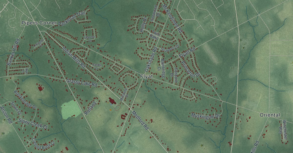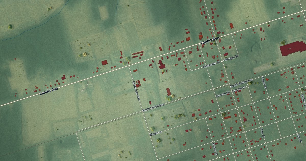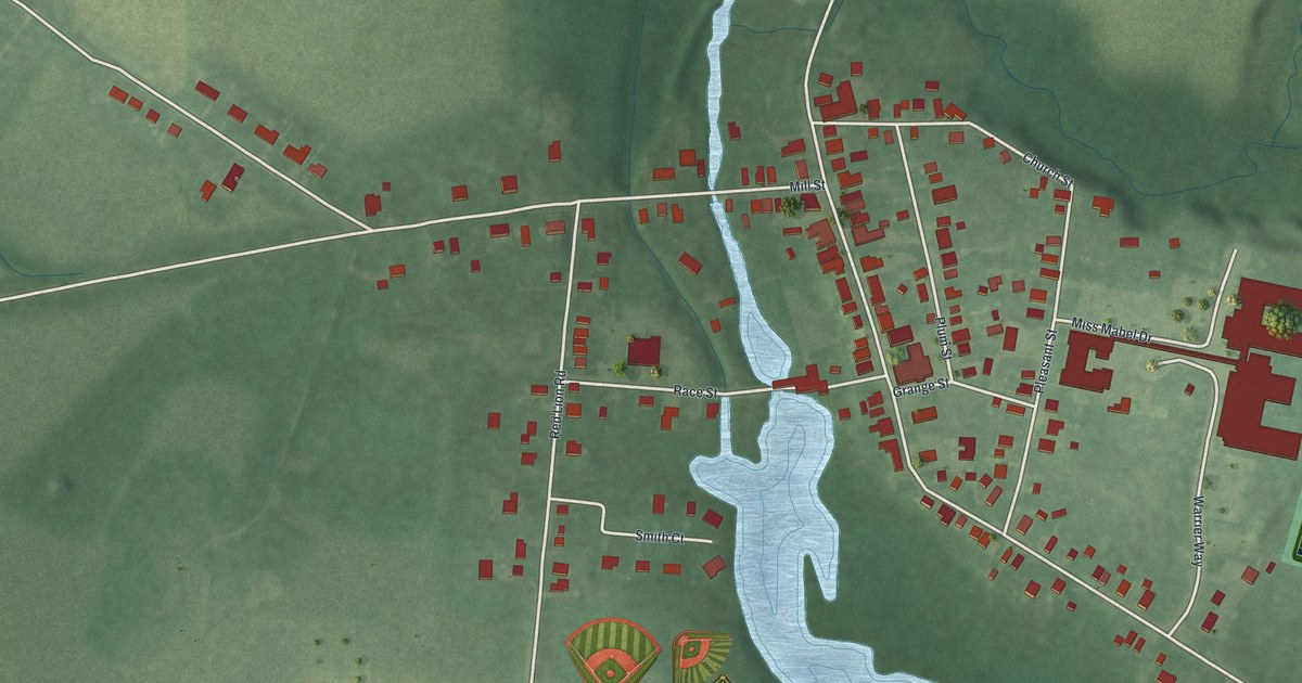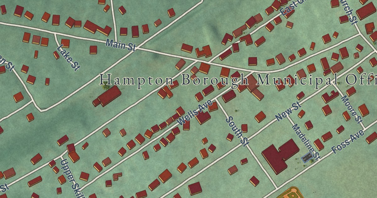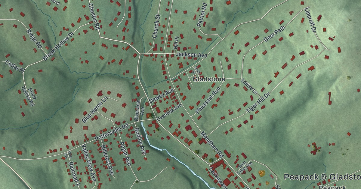
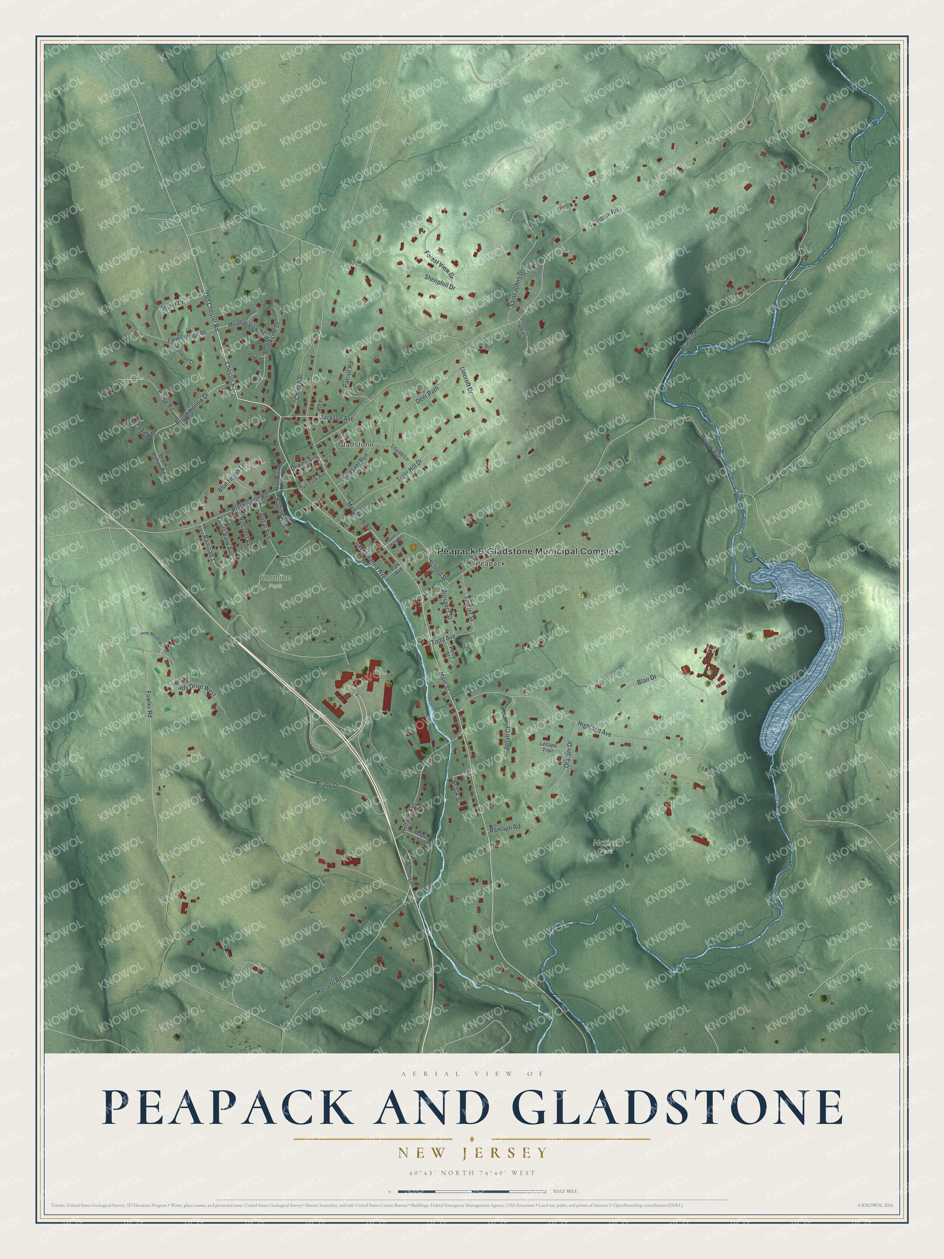
This beautifully detailed map of Peapack and Gladstone, New Jersey was created in 2026 using aerial imagery combined with modern topographical, census, street and landmark data. It’s a one-of-a-kind view of Peapack and Gladstone that combines accurate data with a vintage aesthetic. The map shows every building in its true location, many of the roads carry their names, and the shaded topographic relief shows the shape of the land.
Explore an aerial view of Peapack and Gladstone, New Jersey
On the map you’ll find Peapack & Gladstone Municipal Complex, Gladstone, Peapack, Komline Park, and Natirar Park, along with Brady Drive, Chester Road, Old Chester Road, Main Street, and more. If you look closely you can even find your house accurately drawn in its correct location. Zoom in on the preview to look for yours.
Did You Know?
In 1912 the villages of Peapack and Gladstone clashed with the rest of Bedminster. Their people wanted electric lights, telephones and fire hydrants. They also resented paying for country roads elsewhere in the township. They asked the state to make them a borough, and the Legislature agreed that April. Gladstone honored William Ewart Gladstone, the British Prime Minister.
Take a closer look at the Peapack and Gladstone map
Names on this map
These names are printed on this map.
Places: Peapack & Gladstone Municipal Complex, Gladstone, Peapack, Komline Park and Natirar Park.
Streets and roads: Brady Drive, Chester Road, Old Chester Road, Main Street, Fowler Road, Mosle Road, Willow Avenue, Branch Road, Mendham Road, Highland Avenue, Blair Drive, Saint Johns Drive.
More street names, A to Z
Apgar Avenue, Blue Heron Lane, Bodine Avenue, Brady Drive West, Brook Hollow Drive, Brook Hollow Road, Brookside Drive, Brook Street, Brynwood Court, Cedar Place, Church Street, Construction New Street, Deer Path, Dewey Avenue, Farm Cottage Road, Forest View Drive, Hillard Lane, Hillcrest Avenue, Hill Place, Holland Avenue, Holland Road, Hunt Lane, Jackson Avenue, Jonah Court, Lackawanna Avenue, Lenape Trail, Lincroft Drive, Louise Lane, Maple Street, Meadow View Road, Oratam Drive, Overlook Avenue, Park Avenue, Patriot Road, Perry Street, Pfizer Drive, Pheasant Run, Pine Meadow Lane, Pottersville Road, Prospect Street, Railroad 1, Railroad Avenue, Ramapo Road, Ridge Road, Riverview Avenue, Saint Lukes Avenue, School Street, Sheephill Drive, South Street, Tainter Street, Tiger Hill Drive, Todd Avenue, Trimmer Lane, Valley View Avenue, West Avenue.
See it on a wall
The Peapack and Gladstone map as an 18 x 24 inch print in a black frame.

This beautifully detailed map of Peapack and Gladstone makes an attractive addition to your office, library, or den, and it can even be used to teach children the geography and history of the area. It also makes a great gift for anyone with Peapack and Gladstone roots. When you’re done exploring, click here to get your copy of the Peapack and Gladstone map.