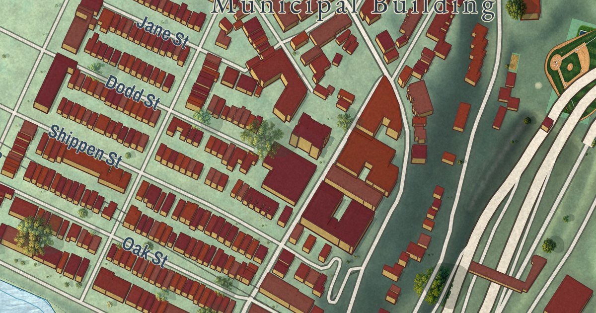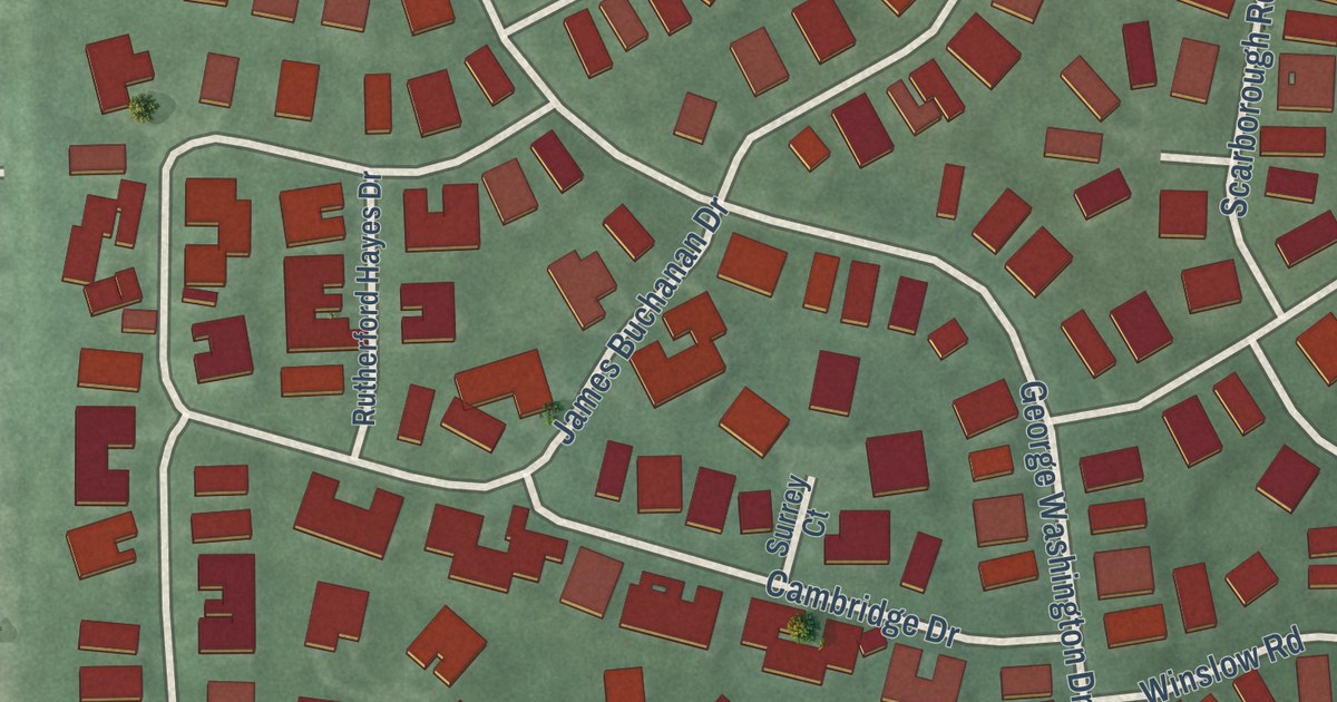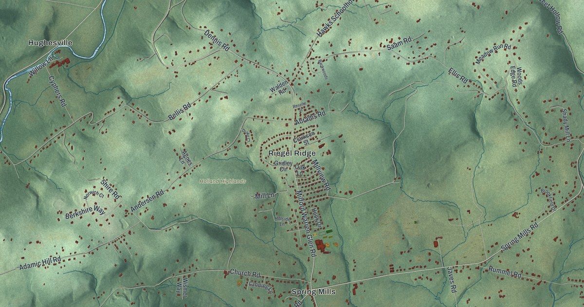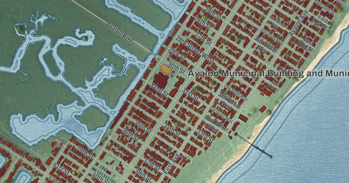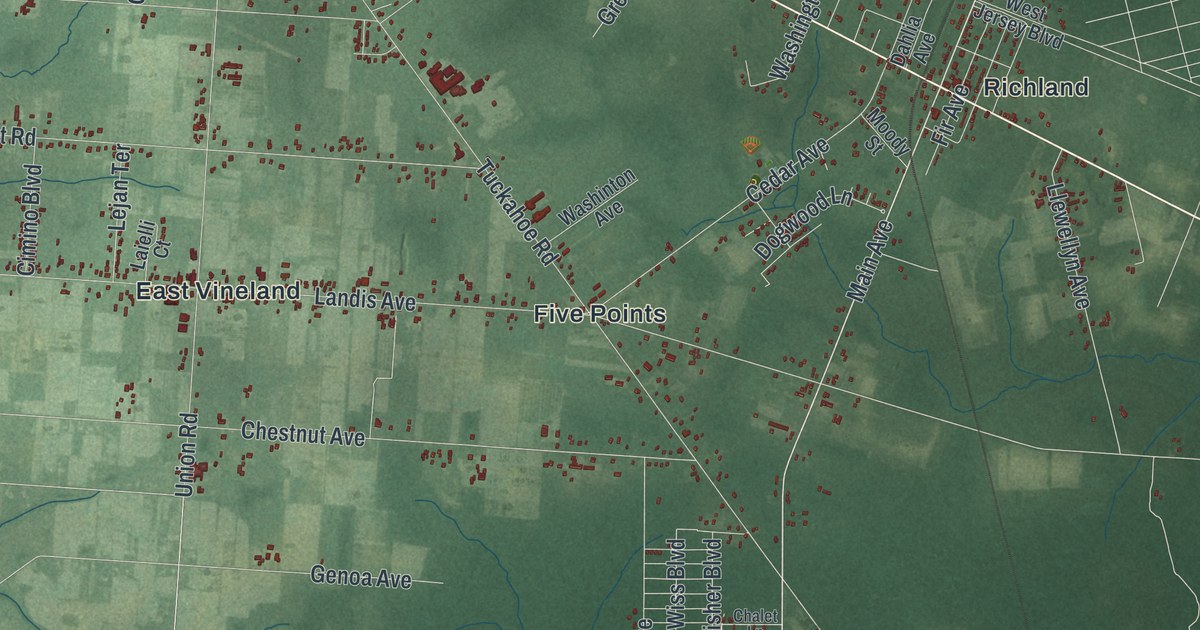
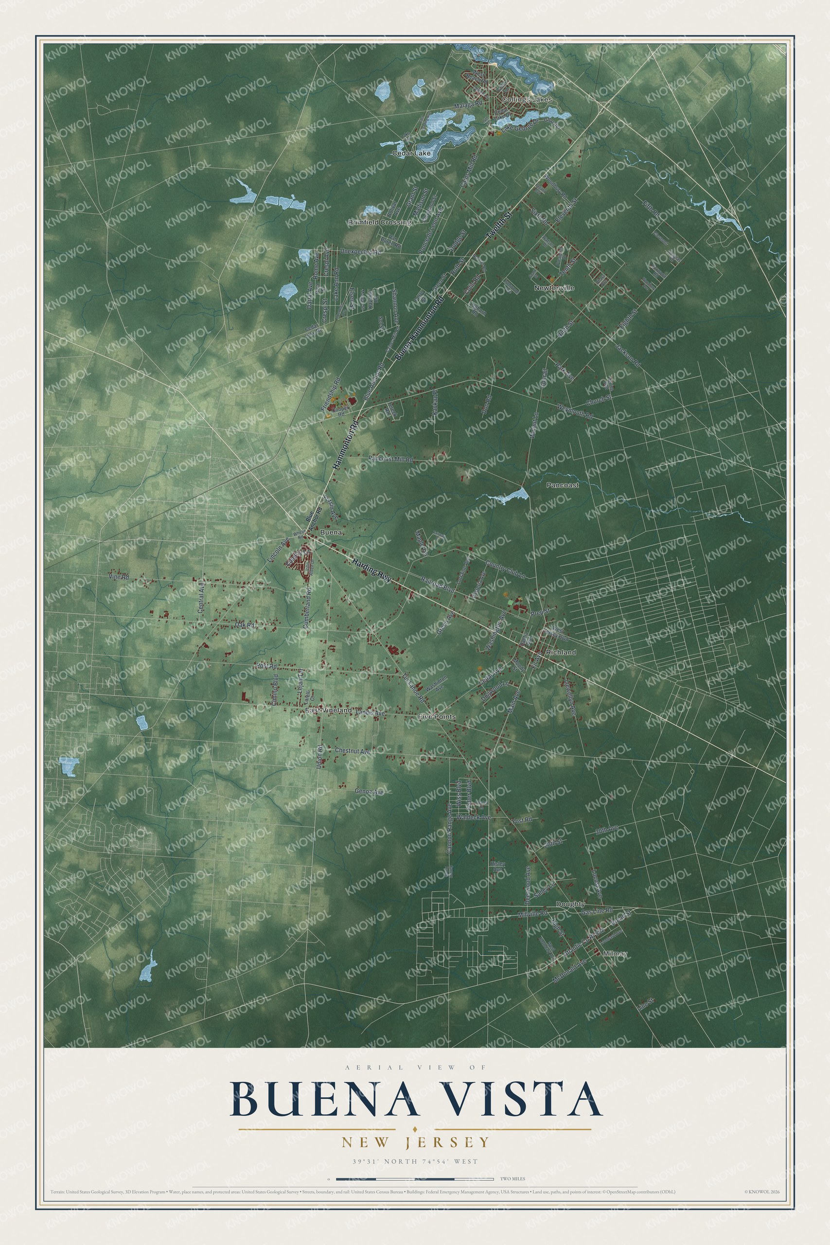
This beautifully detailed map of Buena Vista, New Jersey was created in 2026 using aerial imagery combined with modern topographical, census, street and landmark data. It’s a one-of-a-kind view of Buena Vista that combines accurate data with a vintage aesthetic. The map shows every building in its true location, many of the roads carry their names, and the shaded topographic relief shows the shape of the land.
Explore an aerial view of Buena Vista, New Jersey
On the map you’ll find Collings Lakes, Milmay, Brimfield Crossing, Buena, Cedar Lake, Doughty, East Vineland, Five Points, Newtonville, Pancoast, and Richland, along with Hammonton Road, and more. If you look closely you can even find your house accurately drawn in its correct location. Zoom in on the preview to look for yours.
Did You Know?
Buena Vista Township took its name from the Battle of Buena Vista, fought in 1847 during the Mexican-American War. State lawmakers created the township from part of Hamilton Township on March 5, 1867.
Take a closer look at the Buena Vista map
Names on this map
These names are printed on this map.
Places: Collings Lakes, Milmay, Brimfield Crossing, Buena, Cedar Lake, Doughty, East Vineland, Five Points, Newtonville, Pancoast and Richland.
Streets and roads: Hammonton Road, Harding Highway, Buena-Hammonton Road, Twelfth Street, Main Avenue, Millville Road, Shannon Avenue, Blue Anchor Road, Gas Line Road, Atlantic Co Rt 552, Broad Street, Weymouth Road.
More street names, A to Z
14th Street, 20th Avenue, 20th Street, Aberdeen Avenue, Bolivar Avenue, Boxwood Road, Caines Mill Road, Cains Mill Road, Cannon Range, Cannon Range Avenue, Cedar Avenue, Cedar Lake Drive, Cedar Lake Road, Central Avenue, Chalet Lane, Chestnut Avenue, Church Street, Cimino Boulevard, Clermont, Cleveland Street, Colin Lane, Colin Road, Colton Lane, Conrail, Cooper Road, Country Club Lane, Country Lane, Crespi Avenue, Crespi Street, Cumberland Road, Dahlia Avenue, Darryl Avenue, Deerwood Avenue, Dodge Street, Dogwood Lane, Don Road, Douglas Road, East Reading Avenue, Eighth Street, Eleventh Street, Elsen Street, Fairway Drive, Fifth Road, Fir Avenue, Fisher Boulevard, Friendship Road, Fursin Avenue, Genoa Avenue, Glouster, Grant Street, Green Avenue, Green Street, High Street, Ironwood Avenue, Jackson Road, John Alden Drive, Kavalier Road, Kavkaz Place, Laielli Court, Lake Ann Road, Lake Avenue, Lake George Drive, Landis Avenue, Leghorn Road, Lejan Terrace, Lincoln Avenue, Line Street, Llewellyn Avenue, Locust Avenue, Lombard Avenue, Lorraine Avenue, Madison Street, Malaga Road, Maple Terrace, McDonald Avenue, Moody Street, Morgan Street, Ninth Street, Norman Road, Oak Road, Ohara Avenue, Pagano Boulevard, Pancoast Mill Road, Park Avenue, Perry Street, Ponce de Leon Avenue, Post Road, Prep Street, President Drive, Railroad Boulevard, Risa Street, Risley Avenue, Rome Avenue, Ruth Street, Salley Lane, Sixth Road, Sol Street, Spark Street, Tenth Street, Tereck Road, Tuckahoe Road, Unexpected Road, Union Road, Van Buren Road, Venice Boulevard, Vine Road, Waldeck Avenue, Walnut Lane, Washington Avenue, Washinton Avenue, Watson Drive, West Beach Road, West Boundary Avenue, West Jersey Boulevard, Wheat Road, Wiss Boulevard, Wisteria Avenue, Woodbury Avenue, Woodbury Road, Yost Road.
See it on a wall
The Buena Vista map as an 18 x 24 inch print in a black frame.

This beautifully detailed map of Buena Vista makes an attractive addition to your office, library, or den, and it can even be used to teach children the geography and history of the area. It also makes a great gift for anyone who grew up in Buena Vista or moved away. When you’re done exploring, click here to get your copy of the Buena Vista map.