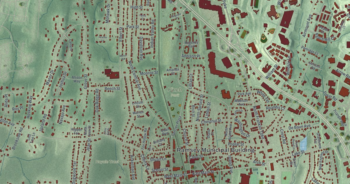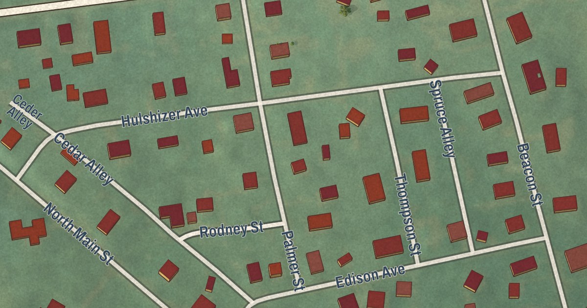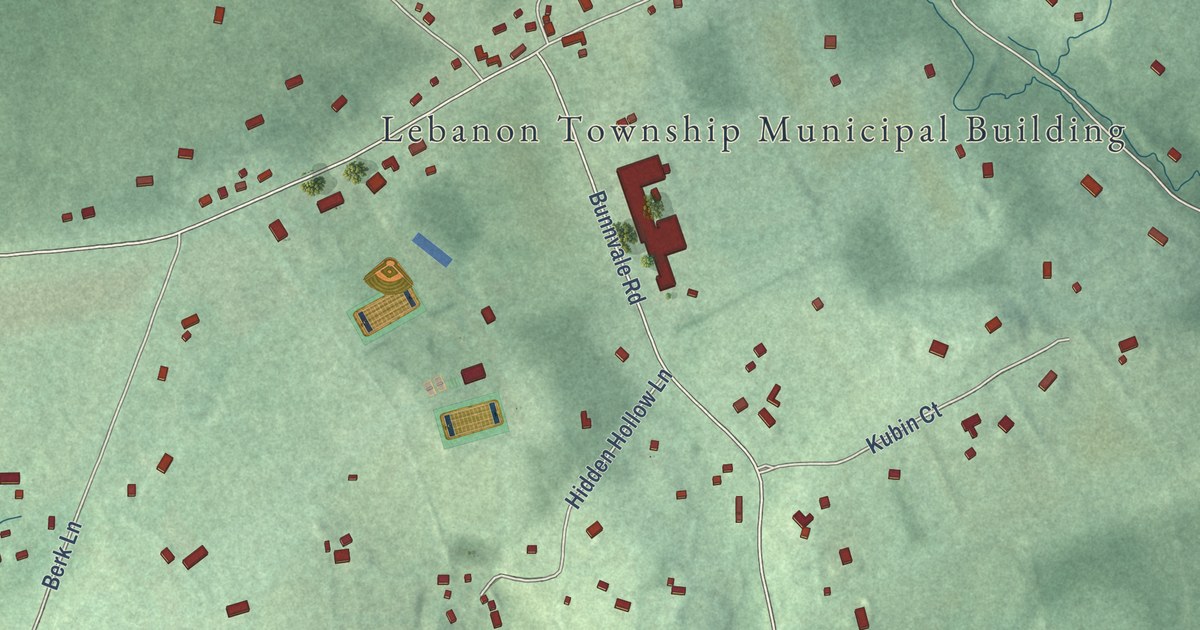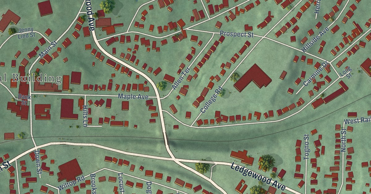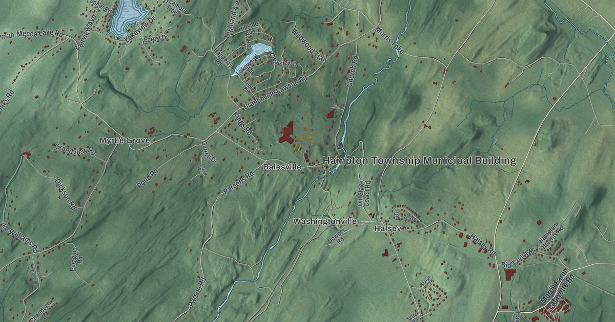
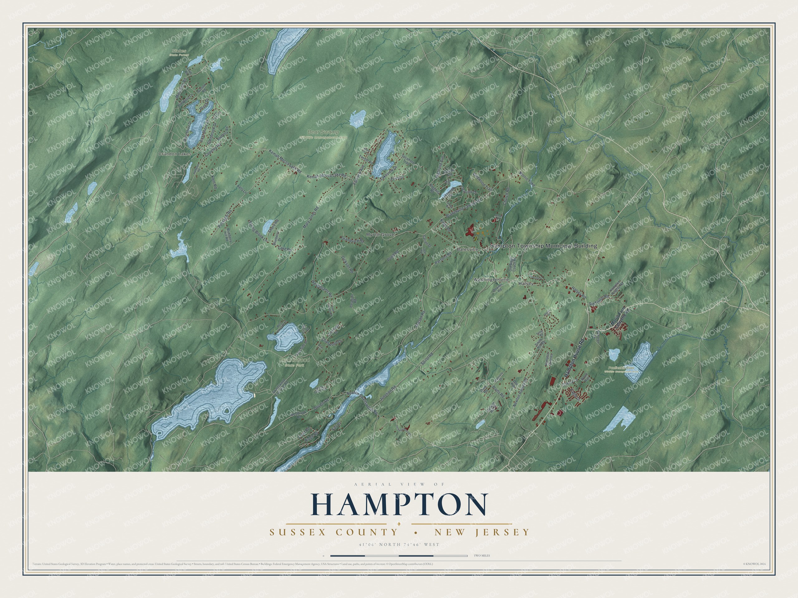
This beautifully detailed map of Hampton, Sussex County, New Jersey was created in 2026 using aerial imagery combined with modern topographical, census, street and landmark data. It’s a one-of-a-kind view of Hampton that combines accurate data with a vintage aesthetic. The map shows every building in its true location, many of the roads carry their names, and the shaded topographic relief shows the shape of the land.
Explore an aerial view of Hampton, Sussex County, New Jersey
On the map you’ll find Hampton Township Municipal Building, Crandon Lakes, Bear Swamp Wildlife Management Area, Paulinskill River Wildlife Management Area, Stokes State Forest, Swartswood State Park, Balesville, Halsey, Myrtle Grove, and Washingtonville, along with Hampton House Road, Parsons Road, and more. If you look closely you can even find your house accurately drawn in its correct location. Zoom in on the preview to look for yours.
Take a closer look at the Hampton, Sussex County map
Names on this map
These names are printed on this map.
Places: Hampton Township Municipal Building, Crandon Lakes, Bear Swamp Wildlife Management Area, Paulinskill River Wildlife Management Area, Stokes State Forest, Swartswood State Park, Balesville, Halsey, Myrtle Grove and Washingtonville.
Streets and roads: Hampton House Road, Parsons Road, Mary Jones Road, Kemah-Mecca Lake Road, Doueis Road, Kemah Mecca Lake Road, Mountain Road, Plotts Road, Possaghi Road, Halsey Road, Newton Swartswood Road, Parson Road.
More street names, A to Z
Bayberry Road, Bear Lane, Blueberry Drive, Blueberry Hill Road, Branchville Lawson Road, Chandoga Drive, Chanwood Drive, Cherry Lane, Church Road, Circle Drive, Clearview Drive, College Hill Drive, Copeley Road, Crest Road, Dickson Road, Doe Run, Downer Road, Eagle Drive, East Shore Drive, East Side Drive, Fairview Avenue, Fenner Road, Forest Drive, Frank Chandler Road, Garrett Drive, Glenbrook Drive, Glencrest Drive, Grandview Road, Haggerty Road, Hampton Downes, Hampton Heights Road, Hampton Lane, Hampton Road, Highland Avenue, Hillside Avenue, Holly Drive, Ike Williams Road, Junction Road, Kelly Lane, Kent Road, Kings Road, Lake Road, Lakeview Drive, Lakewood Terrace, Logan Way, Lone Pine Trail, Love Road, Maple Tree Lane, Morris Farm Lafayette Road, Morris Turnpike, Newton Halsey Road, Old Stage Coach Road, Old Swartswood Road, Old Wood Lane, Peragino Road, Plaza Drive, Pond Road, Ridge Road, School Road, Shamrock Drive, Sharon Court, Shaw Road, Shore Road, Sid Taylor Road, Smith Hill Road, Spirol Road, Spring Brook Lane, Spring Lake Trail, Sussex Road, Swartswood East Side Road, Sycamore Trail, Tooley Drive, Vail Drive, Westbrook Road, West Lakeside Lane, West Shore Drive, Wildwood Trail, Wood Run, Yetter Road.
See it on a wall
The Hampton, Sussex County map as an 18 x 24 inch print in a black frame.

This beautifully detailed map of Hampton, Sussex County makes an attractive addition to your office, library, or den, and it can even be used to teach children the geography and history of the area. It also makes a great gift for someone who left Hampton and still calls it home. When you’re done exploring, click here to get your copy of the Hampton, Sussex County map.