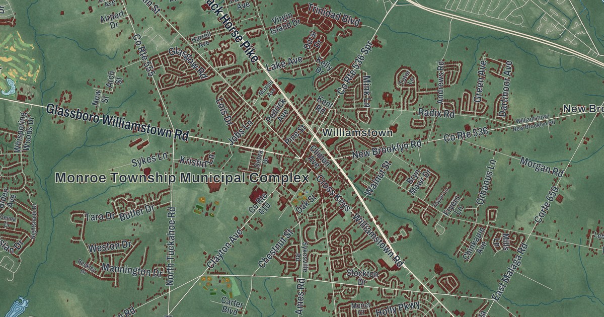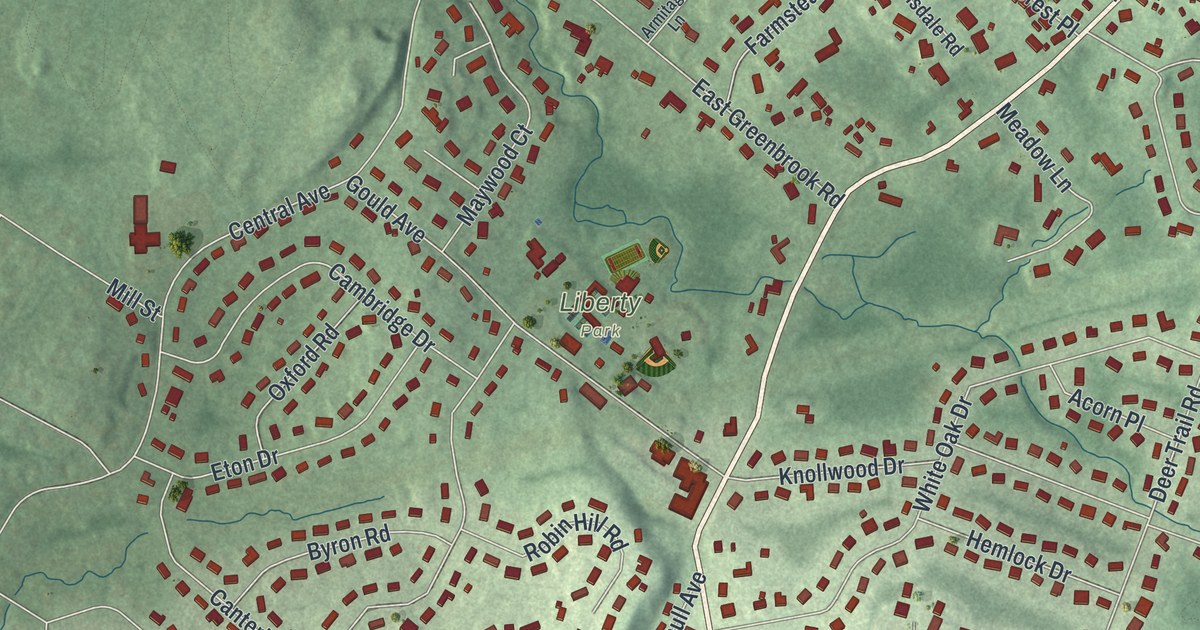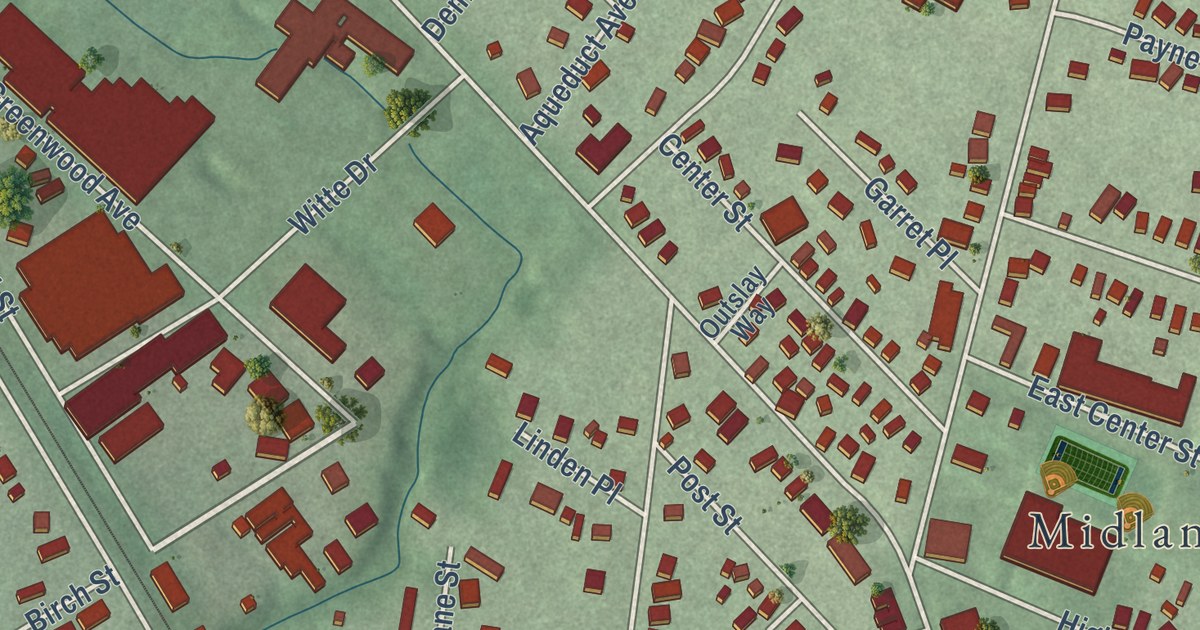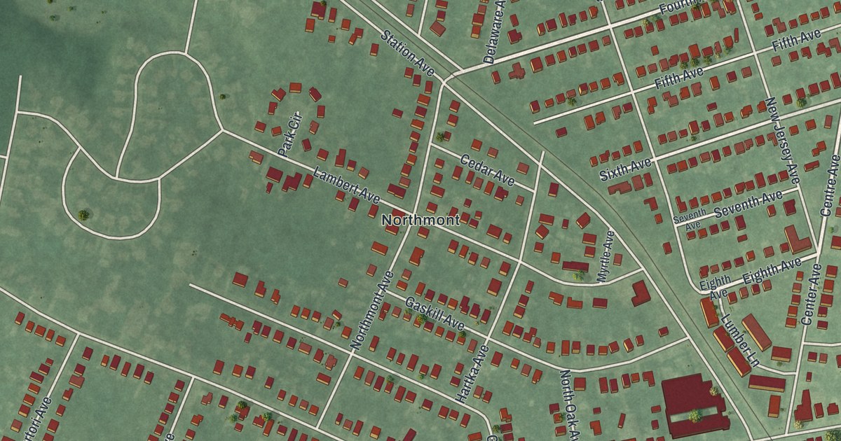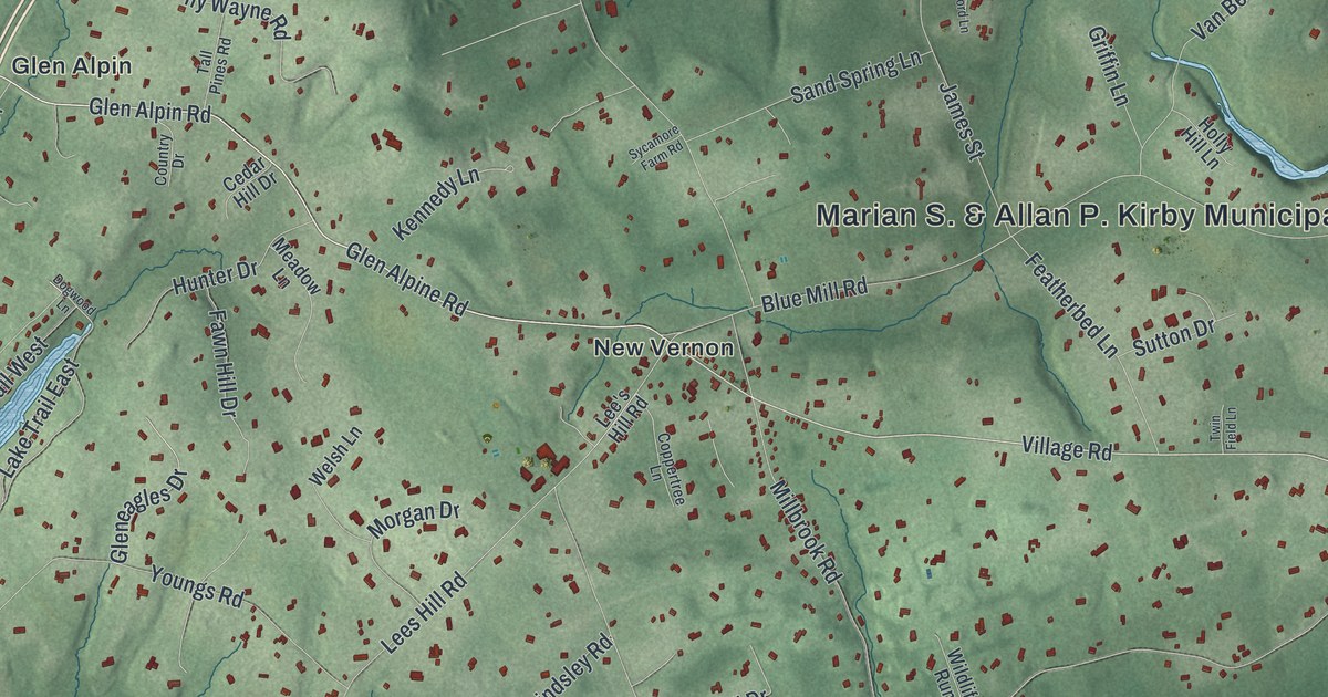
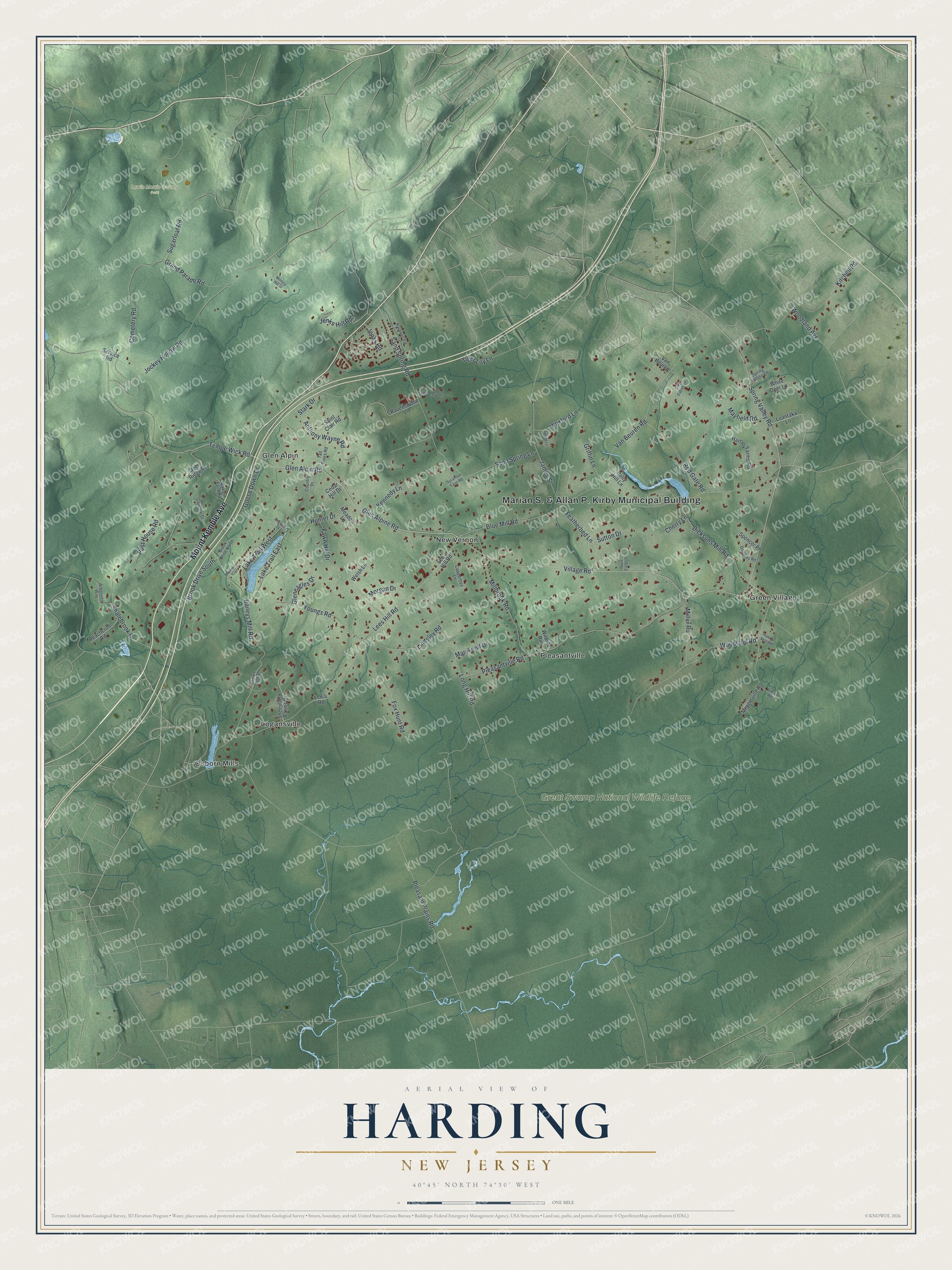
This beautifully detailed map of Harding, New Jersey was created in 2026 using aerial imagery combined with modern topographical, census, street and landmark data. It’s a one-of-a-kind view of Harding that combines accurate data with a vintage aesthetic. The map shows every building in its true location, many of the roads carry their names, and the shaded topographic relief shows the shape of the land.
Explore an aerial view of Harding, New Jersey
On the map you’ll find Great Swamp National Wildlife Refuge, Lewis Morris County Park, Glen Alpin, Green Village, Logansville, New Vernon, Osborn Mills, and Pleasantville, along with Mount Kemble Avenue, Village Road, Spring Valley Road, Tempe Wick Road, and more. If you look closely you can even find your house accurately drawn in its correct location. Zoom in on the preview to look for yours.
Did You Know?
Harding was formed in 1922 from the northern half of old Passaic Township, today called Long Hill. It was named for Warren G. Harding, who was president at the time. Local landowners pushed for the new township to keep the area rural.
Take a closer look at the Harding map
Names on this map
These names are printed on this map.
Places: Marian S. & Allan P. Kirby Municipal Building, Great Swamp National Wildlife Refuge, Lewis Morris County Park, Glen Alpin, Green Village, Logansville, New Vernon, Osborn Mills and Pleasantville.
Streets and roads: Mount Kemble Avenue, Village Road, Spring Valley Road, Tempe Wick Road, Glen Alpin Road, Glen Alpine Road, Jockey Hollow Road, Long Hill Road, Lees Hill Road, Blue Mill Road, Pleasant Plains Road, Pleasantville Road.
More street names, A to Z
Anthony Wayne Road, Arborview Way, Bailey's Mill Road, Baileys Mill Road, Baxter Farm Road, Blackwell Avenue, Brook Drive North, Brook Drive South, Cedar Hill Drive, Cemetery Road, Cherry Lane, Colonial Drive, Coppertree Lane, Country Drive, Deer Ridge Drive, Dicksons Mill Road, Dogwood Lane, Douglas Road, Fawn Hill Drive, Featherbed Lane, Fox Hunt Road, Gleneagles Drive, Goose Down Drive, Grand Parade Road, Grey Gables Lane, Griffin Lane, Hartley Farms Road, Hawk's Nest Road, Holly Hill Lane, Hunter Drive, James Street, Jenks Hill Road, Jenks Road, Kennedy Lane, Kitchell Road, Lake Trail East, Lake Trail West, Lee's Hill Road, Lee's Road, Lindsley Road, Loantaka Lane, Maryknoll Drive, Mayfield Road, Meadow Lane, Meyersville Road, Military Hill Drive, Millbrook Road, Miller Road, Morgan Drive, Oxford Lane, Peachcroft Road, Post House Road, Primrose Trail, Ravenswood Lane, Red Gate Road, Saint Clair Road, Sand Spring Lane, Sand Spring Road, Service Road, Shalebrook Drive, Sheepfield Farms Drive, Silver Brook Road, Spencer Place, Spring House Lane, Stark Drive, Sugarloaf Road, Sutton Drive, Sycamore Farm Road, Tall Pines Road, Tiger Lily Lane, Twin Field Lane, Van Beuren, Van Beuren Road, Vilnius Road, Welsh Lane, Wexford Lane, White Deer Lane, Wildlife Run, Woodland Avenue, Woodland Road, Youngs Road.
See it on a wall
The Harding map as an 18 x 24 inch print in a black frame.

This beautifully detailed map of Harding makes an attractive addition to your office, library, or den, and it can even be used to teach children the geography and history of the area. It also makes a great gift for someone who left Harding and still calls it home. When you’re done exploring, click here to get your copy of the Harding map.