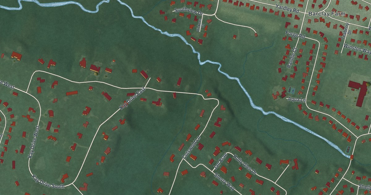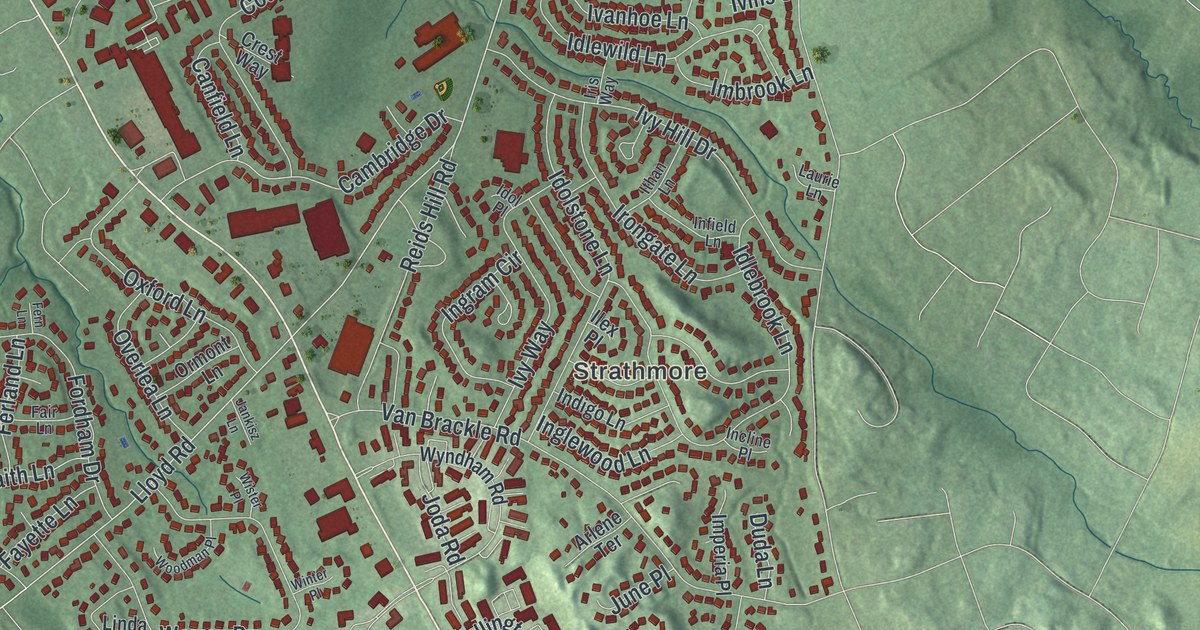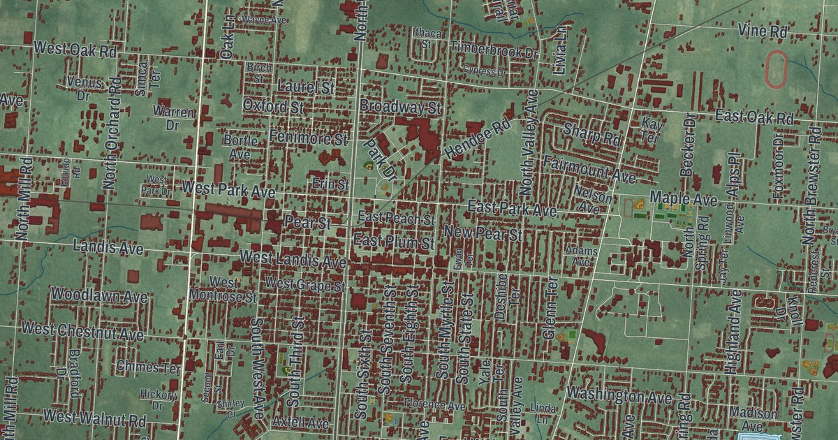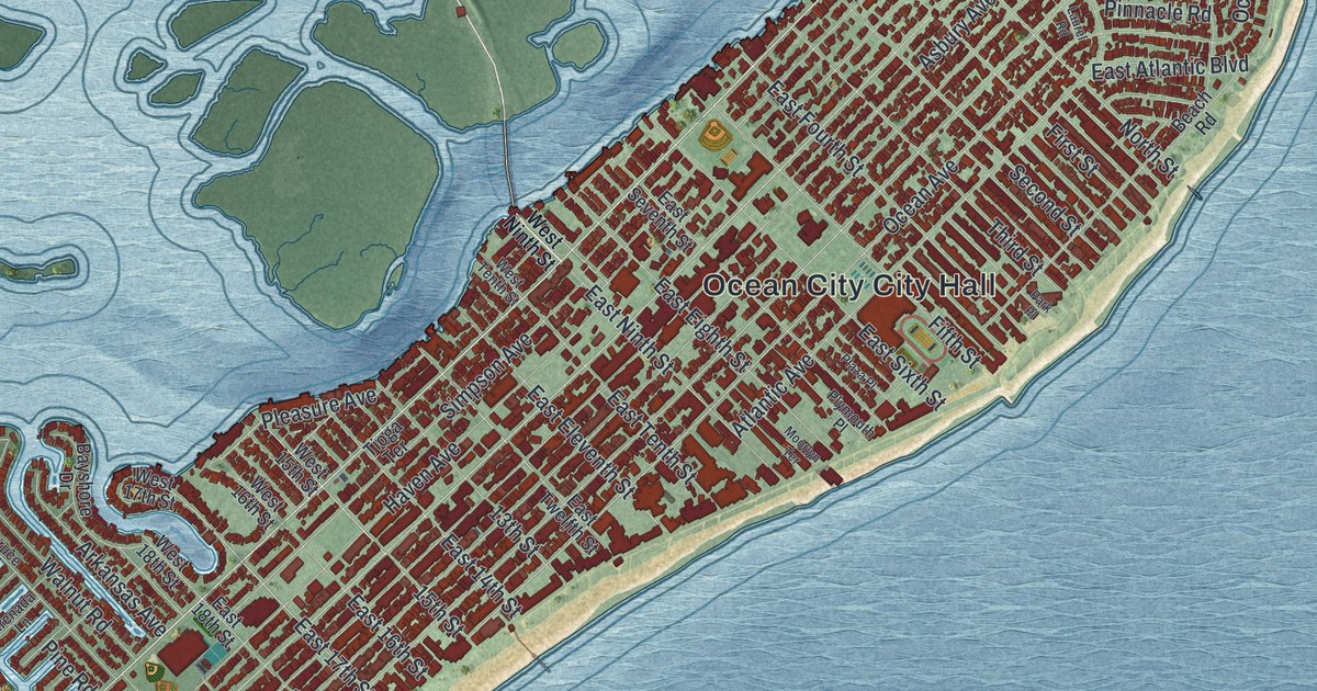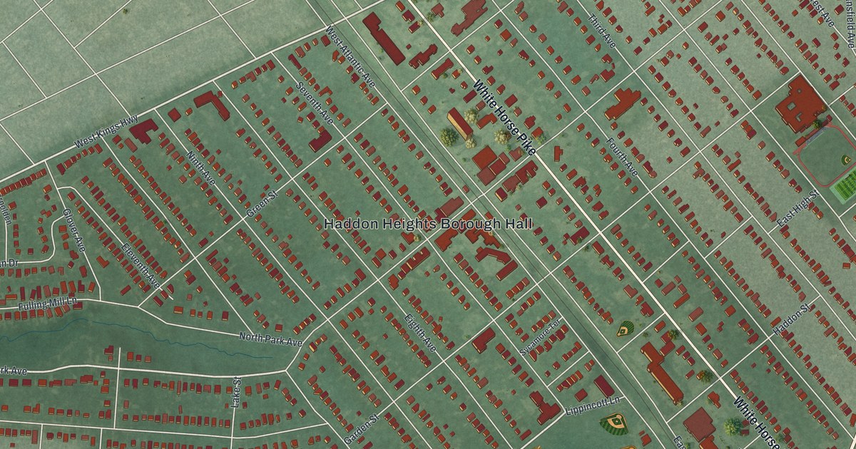
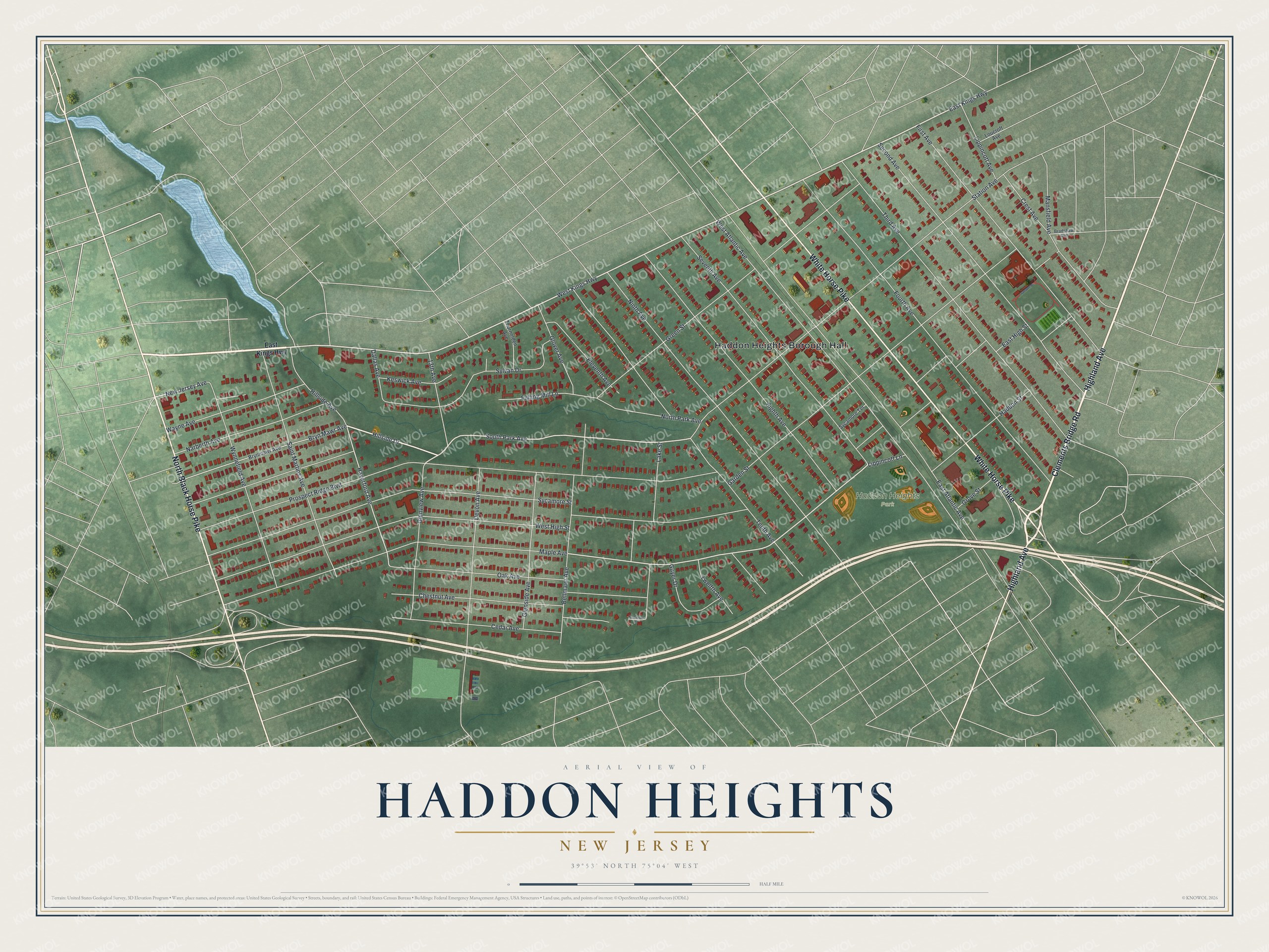
This beautifully detailed map of Haddon Heights, New Jersey was created in 2026 using aerial imagery combined with modern topographical, census, street and landmark data. It’s a one-of-a-kind view of Haddon Heights that combines accurate data with a vintage aesthetic. The map shows every building in its true location, many of the roads carry their names, and the shaded topographic relief shows the shape of the land.
Explore an aerial view of Haddon Heights, New Jersey
On the map you’ll find Haddon Heights Borough Hall and Haddon Heights Park, along with Clements Bridge Road, Highland Avenue, White Horse Pike, North Black Horse Pike, West Kings Highway, East Kings Highway, North Park Avenue, Hillside Drive, South Park Avenue, New Jersey Avenue, and more. If you look closely you can even find your house accurately drawn in its correct location. Zoom in on the preview to look for yours.
Did You Know?
In 1890 Benjamin Lippincott built a passenger station on his land for the Atlantic City Railroad. He and Charles Hillman then laid out a grid of streets. They named the community Haddon Heights for its high ground and nearness to Haddonfield. When it became a borough in 1904, Lippincott was elected mayor.
Take a closer look at the Haddon Heights map
Names on this map
These names are printed on this map.
Places: Haddon Heights Borough Hall and Haddon Heights Park.
Streets and roads: Clements Bridge Road, Highland Avenue, White Horse Pike, North Black Horse Pike, West Kings Highway, East Kings Highway, North Park Avenue, Hillside Drive, South Park Avenue, New Jersey Avenue, West High Street, Haverford Avenue.
More street names, A to Z
13th Avenue, Bellmawr Avenue, Bradshaw Avenue, Bryn Mawr Avenue, Brynmawr Avenue, Cedar Avenue, Chestnut Avenue, Chestnut Place, Crest Avenue, Dallas Avenue, Devon Avenue, East Atlantic Avenue, East High Street, Eighth Avenue, Eleventh Avenue, First Avenue, Fourth Avenue, Fulling Mill Lane, Garden Street, Glenside Avenue, Glenview Avenue, Glover Avenue, Green Street, Grove Street, Guyer Drive, Haddon Street, Hillside Avenue, Keswick Avenue, Lake Street, Lippincott Avenue, Lippincott Lane, Loucroft Avenue, Mansfield Avenue, Maple Avenue, Narberth Avenue, Ninth Avenue, Oak Avenue, Prospect Ridge Boulevard, Saint Martins Avenue, Second Avenue, Seventh Avenue, Station Avenue, Sycamore Street, Sycamore Terrace, Sylvan Drive, Tenth Avenue, Third Avenue, Thornolden Avenue, Twelfth Avenue, Wayne Avenue, West Atlantic Avenue, Wynnefield Avenue.
See it on a wall
The Haddon Heights map as an 18 x 24 inch print in a black frame.

This beautifully detailed map of Haddon Heights makes an attractive addition to your office, library, or den, and it can even be used to teach children the geography and history of the area. It also makes a great gift for anyone with Haddon Heights roots. When you’re done exploring, click here to get your copy of the Haddon Heights map.