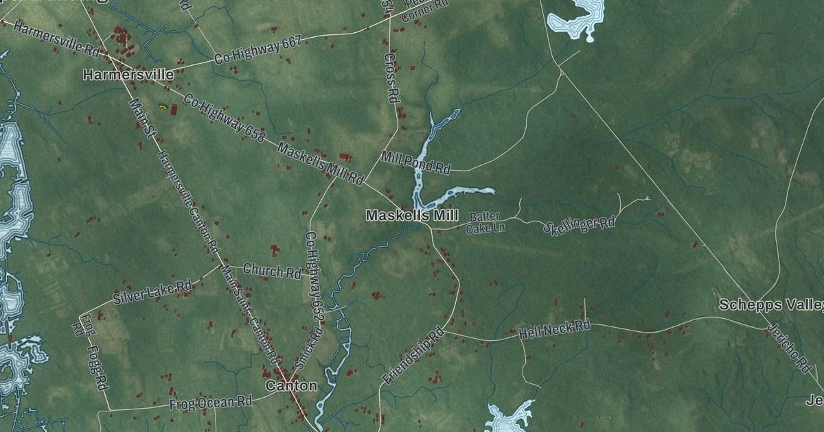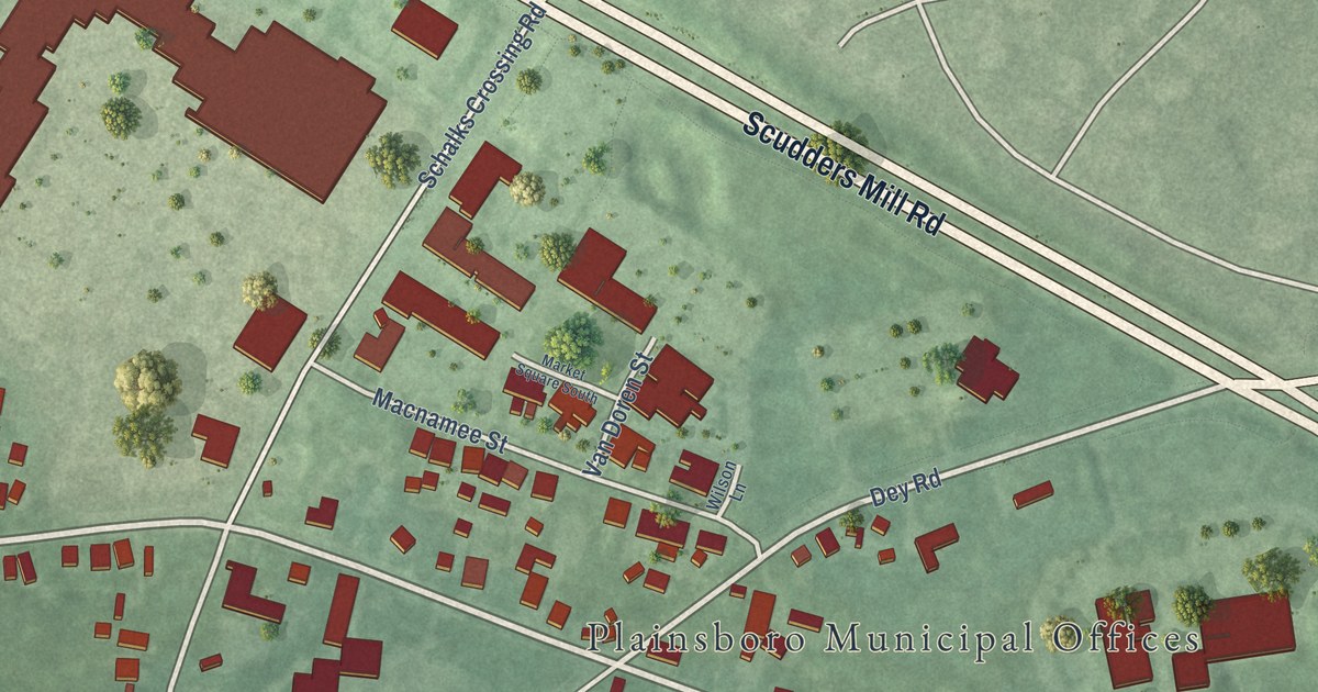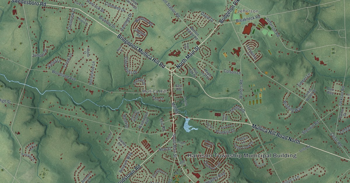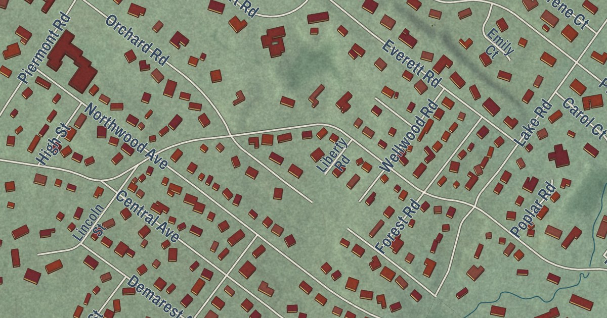
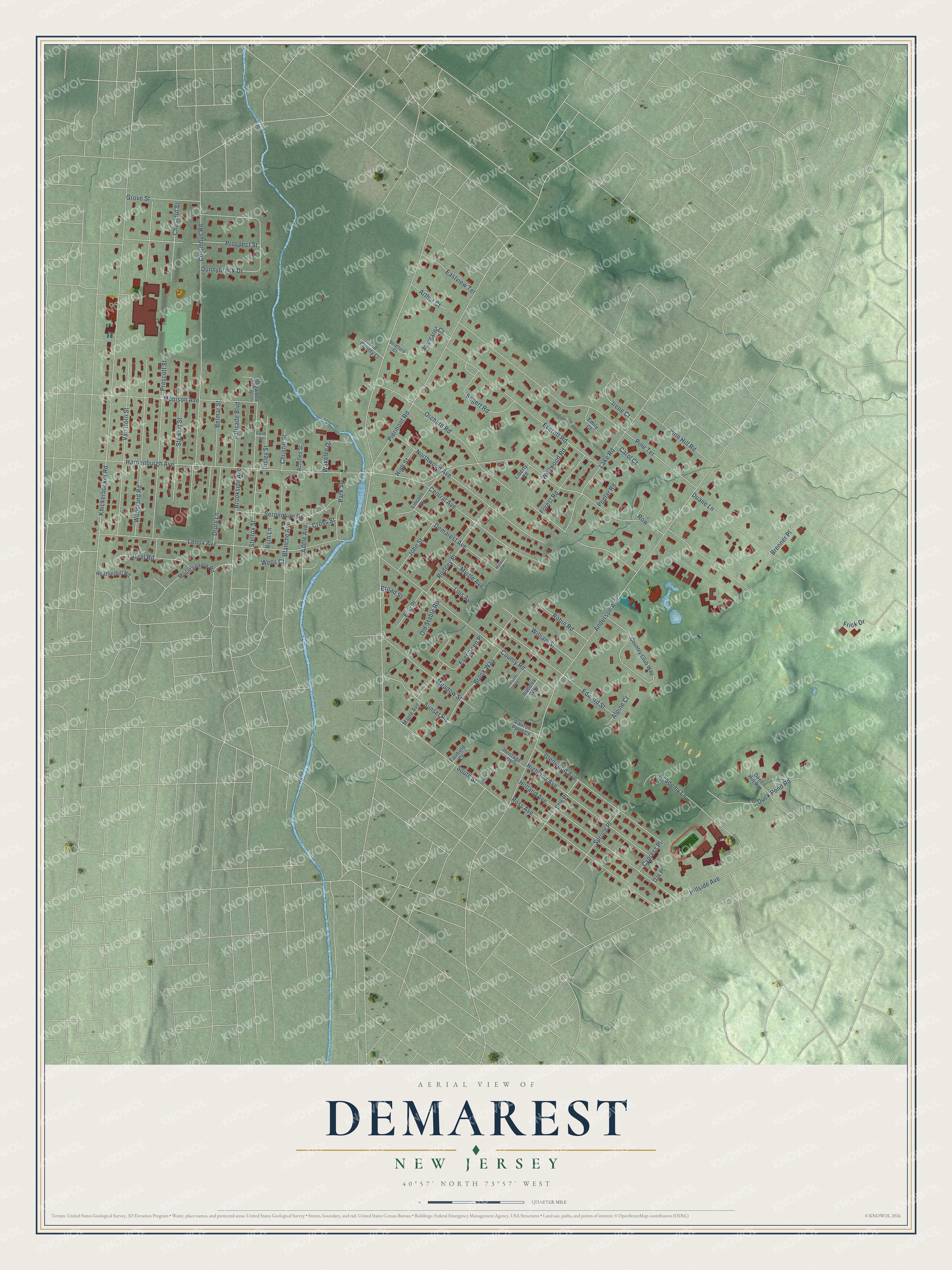
This beautifully detailed map of Demarest, New Jersey was created in 2026 using aerial imagery combined with modern topographical, census, street and landmark data. It’s a one-of-a-kind view of Demarest that combines accurate data with a vintage aesthetic. The map shows every building in its true location, many of the roads carry their names, and the shaded topographic relief shows the shape of the land.
Explore an aerial view of Demarest, New Jersey
On the map you’ll find Hardenburgh Avenue, County Road, Knickerbocker Road, Piermont Road, Columbus Road, Pine Terrace, Orchard Road, Anderson Avenue, Woodland Road, Lenox Avenue, Everett Road, Holland Avenue, and more. If you look closely you can even find your house accurately drawn in its correct location. Zoom in on the preview to look for yours.
Did You Know?
Demarest became a borough in 1903. It took its name from the Demarest family and the local train station. The station honored Ralph S. Demarest, who sat on the board of the Northern Railroad of New Jersey. He also served the area in both houses of the state legislature during the mid-1800s.
Take a closer look at the Demarest map
Names on this map
These names are printed on this map.
Streets and roads: Hardenburgh Avenue, County Road, Knickerbocker Road, Piermont Road, Columbus Road, Pine Terrace, Orchard Road, Anderson Avenue, Woodland Road, Lenox Avenue, Everett Road, Holland Avenue.
More street names, A to Z
Academy Lane, Achilles Street, Adele Avenue, Alpine Court, Arthur Court, Belmar Street, Blanche Avenue, Bogert Road, Brenner Place, Broad Street, Brookside Avenue, Brook Way, Carlotta Way, Carol Court, Central Avenue, Chestnut Street, Christie Street, Country Club Way, Cross Street, Cypress Place, Deer Hill Road, Demarest Avenue, Dogwood Lane, Donnybrook Drive, Drury Lane, Duane Lane, Duck Pond Road, Eastview Terrace, Edward Street, Elm Place, Emily Court, Eric Place, Evergreen Place, Fairfield Court, Ford Street, Forest Road, Frick Drive, Glenwood Avenue, Grove Street, Heatherhill Road, Heritage Court, Highland Avenue, High Street, Hillside Avenue, Insley Street, Irene Court, Isabella Way, John Street, Lake Road, Laurel Road, Lauren Pond Court, Liberty Road, Lincoln Street, Lois Avenue, Madison Avenue, Maple Avenue, Margaret Court, Meadow Street, Mountainview Road, Myrtle Avenue, Northwood Avenue, Oak Place, Old County Court, Old Stable Road, Palisade Boulevard, Park Street, Pine Hill Road, Poplar Road, Prescott Street, Prospect Street, Robin Road, Rodney Place, Ross Avenue, Row, Ruth Lane, Serpentine Road, South Street, Spruce Place, Stelfox Street, Stewart Street, Stratford Court, Sunset Road, Van Horn Street, Village Court, Wakelee Drive, Wells Court, Wellwood Road, William Street, Wyckoff Place.
See it on a wall
The Demarest map as an 18 x 24 inch print in a black frame.

This beautifully detailed map of Demarest makes an attractive addition to your office, library, or den, and it can even be used to teach children the geography and history of the area. It also makes a great gift for someone who left Demarest and still calls it home. When you’re done exploring, click here to get your copy of the Demarest map.