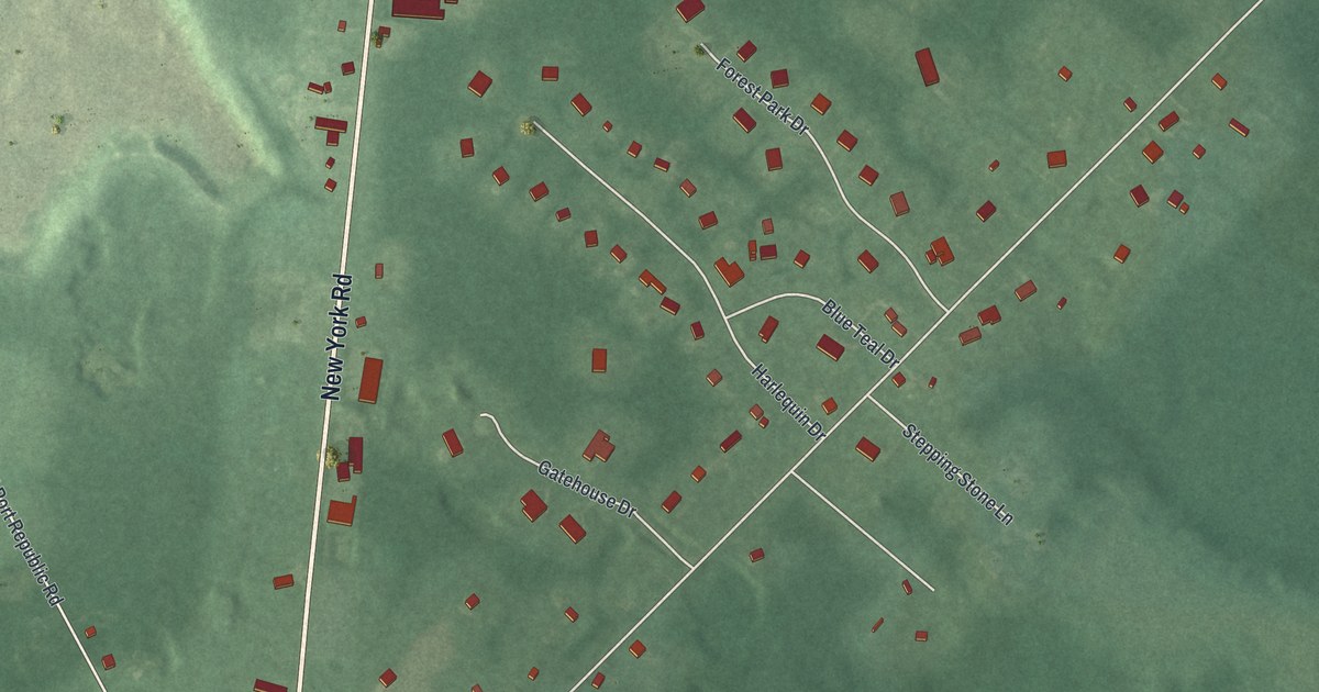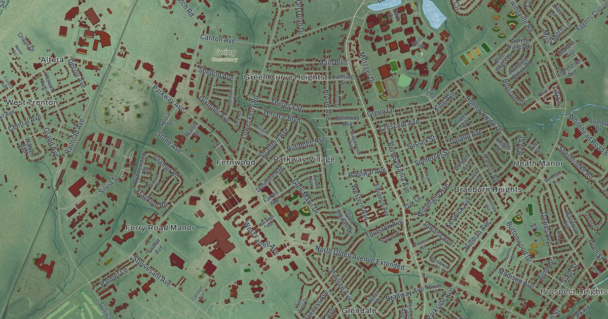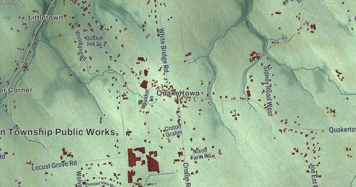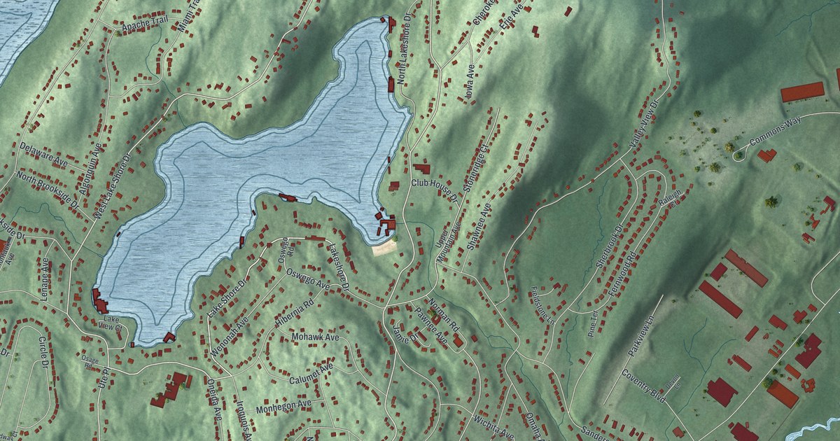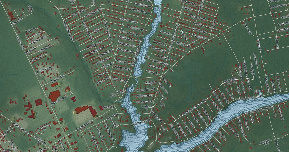
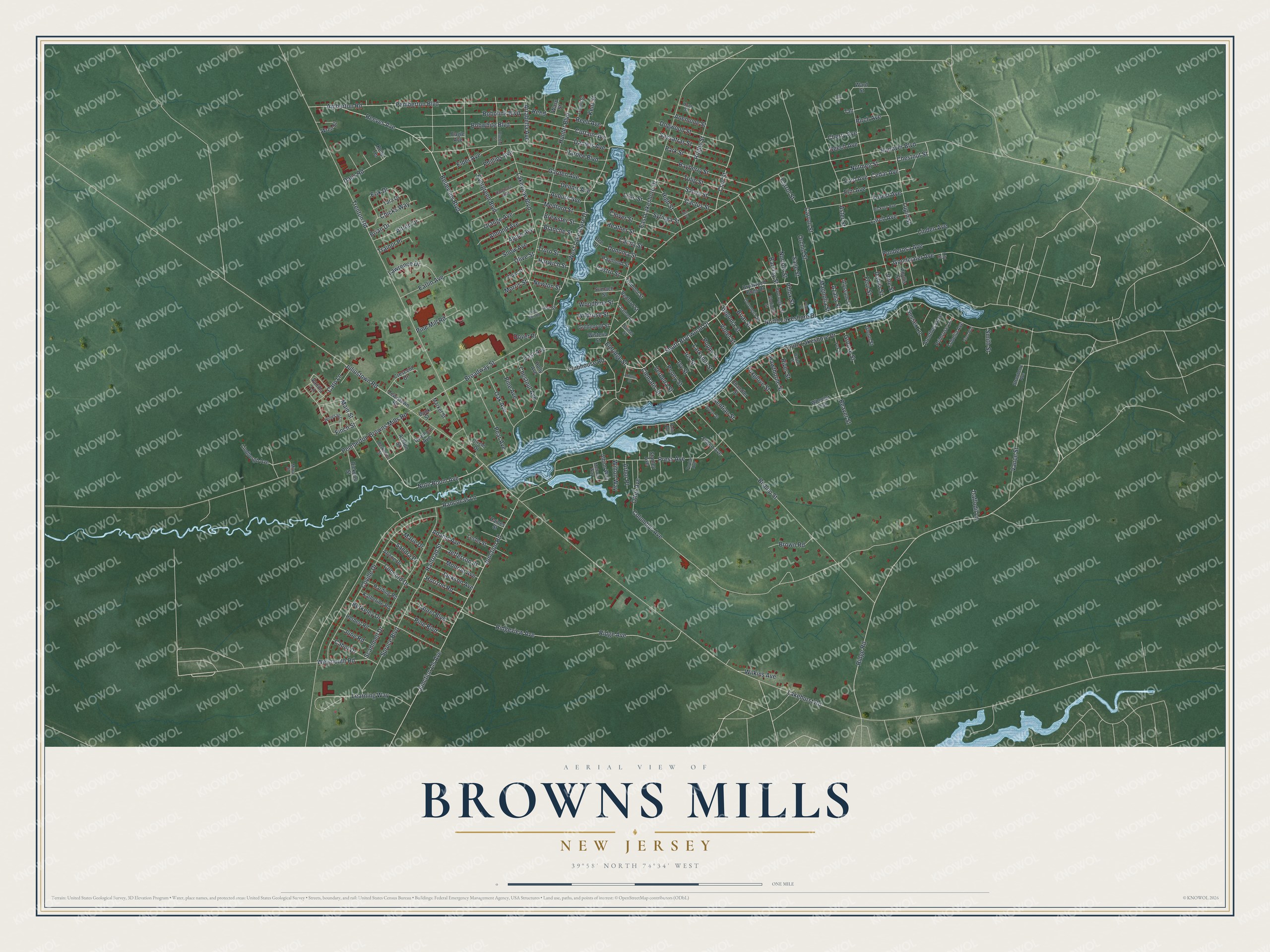
This beautifully detailed map of Browns Mills, New Jersey was created in 2026 using aerial imagery combined with modern topographical, census, street and landmark data. It’s a one-of-a-kind view of Browns Mills that combines accurate data with a vintage aesthetic. The map shows every building in its true location, many of the roads carry their names, and the shaded topographic relief shows the shape of the land.
Explore an aerial view of Browns Mills, New Jersey
On the map you’ll find Elm Avenue, Belleview Boulevard, Note Boom Avenue, Reeves Avenue, Clan Street, Ridge Road, South Brynwood Drive, Finch Street, Cedar Avenue, South Lakeshore Drive, Lakehurst Road, Hanover Boulevard, and more. If you look closely you can even find your house accurately drawn in its correct location. Zoom in on the preview to look for yours.
Take a closer look at the Browns Mills map
Names on this map
These names are printed on this map.
Streets and roads: Elm Avenue, Belleview Boulevard, Note Boom Avenue, Reeves Avenue, Clan Street, Ridge Road, South Brynwood Drive, Finch Street, Cedar Avenue, South Lakeshore Drive, Lakehurst Road, Hanover Boulevard.
More street names, A to Z
Adams Avenue, Albion Way, Alfred Drive, Almond Avenue, Alyssum Street, Amberton Road, Anemone Street, Apple Avenue, Arbor Place, Arbutus Street, Arenthusa Avenue, Arlene Drive, Arrabella Avenue, Ashton Street, Aster Street, Auburn Avenue, Azalia Street, Bank Street, Barclay Street, Bayberry Street, Beaver Street, Bedford Street, Beech Avenue, Bee Street, Begonia Street, Bell Place, Berkeley Drive, Berkshire Street, Birch Avenue, Bishop Street, Blanche Street, Bluebird Street, Bobolink Boulevard, Bobwhite Boulevard, Brewster Street, Brian Drive, Briar Street, Broadway Street, Brown Road, Brynwood Bogs Drive, Cabot Drive, Cactus Street, Canna Street, Carp Lane, Carroll Street, Carrol Street, Castro Street, Chandler Street, Chatham Street, Cherry Avenue, Chestnut Avenue, Chestnut Street, Chicks Way, Circle Drive, Clematis Street, Clover Street, Clubhouse Road, Columbus Avenue, Concord Drive, Coreopsis Street, Coville Drive, Crescent Drive, Curtain Avenue, Daffodil Lane, Dahlia Street, Daniels Avenue, Dans Road, Dearborn Avenue, Dell Street, Dennis Avenue, Dickens Street, Dogwood Street, Donoma Street, Dover Place, Eagle Avenue, Earlin Avenue, East Avenue, East Lakeshore Drive, Elder Avenue, Eldridge Street, Erik Drive, Evergreen Boulevard, Fern Street, Filbert Avenue, Ford Avenue, Forest Avenue, Foxglove Street, Fox Street, Garden Avenue, Gentian Street, Gladiolus Street, Glenn Street, Goldenrod Street, Goodwater Avenue, Green Street, Grouse Street, Haines Street, Harding Road, Hargrove Avenue, Harlan Street, Harwich Street, Hawthorne Street, Heather Street, Herbert Road, Hickory Avenue, High Street, Holly Avenue, Horizon Road, Hunter Boulevard, Hunt Street, Hydrangea Street, Iris Street, Ivy Street, Jackson Avenue, Jefferson Street, Juliustown Road, Junction Lls Avenue, Junction Road, June Road, Katherine Road, Kelly Terrace, Kent Street, Lakeview Boulevard, Larch Avenue, Larkspur Street, Laurel Boulevard, Lawrence Drive, Learning Way, Lee Street, Leland Street, Lester Street, Lewistown Road, Lilac Street, Lily Street, Lindbergh Avenue, Linden Avenue, Lobelia Avenue, Lupin Street, Magnolia Street, Main Street, Marie Drive, Market Street, Medford Street, Melrose Way, Miwa Street, Monroe Avenue, Morris Street, Newton Street, Norfolk Street, North Lakeshore Drive, Nutmeg Street, Oak Avenue, Olive Street, Ongs Run Road, Orange Avenue, Orchid Street, Otter Avenue, Palm Avenue, Pardee Boulevard, Park Street, Pear Avenue, Pemberton Boulevard, Pemberton Browns Mills Road, Peony Street, Pflox Street, Phillips Avenue, Phlox Street, Phyllis Street, Pine Avenue, Pine Boulevard, Pine Mill Road, Plum Street, Ponderosa Avenue, Poplar Avenue, Poppy Street, Press Avenue, Primrose Lane, Railroad Street, Rancocas Lane, Raymond Street, Reed, Reed Avenue, Ridge Avenue, Ridgeview Avenue, River Street, Rugby Street, Sage Street, Salvia Street, Sandra Drive, Sassafras Street, Scammell Drive, Smith Street, Snow Avenue, Spruce Boulevard, Stanley Avenue, Strawberry Avenue, Sumach Street, Sunset Street, Sussex Lane, Syringa Street, Taft, Tara Drive, Trainor Place, Tremont Street, Trenton Road, Truro Street, Tulip Street, Vance Street, Vanilla Lane, Verbena Street, Vine Street, Violet Street, Vireo Way, Ward Street, Wasp Street, West Lakeshore Drive, Weymouth Road, Wheeler Trail, Wildrose Street, Wilkins Avenue, Wilton Way, Winesap Lane, Wisteria Street, Woodbine Street, Wren Street.
See it on a wall
The Browns Mills map as an 18 x 24 inch print in a black frame.

This beautifully detailed map of Browns Mills makes an attractive addition to your office, library, or den, and it can even be used to teach children the geography and history of the area. It also makes a great gift for someone who left Browns Mills and still calls it home. When you’re done exploring, click here to get your copy of the Browns Mills map.