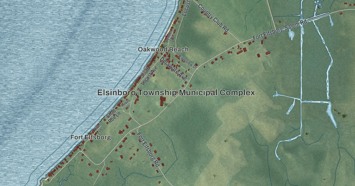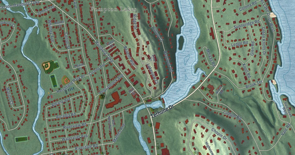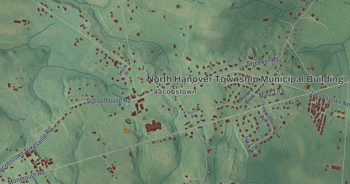
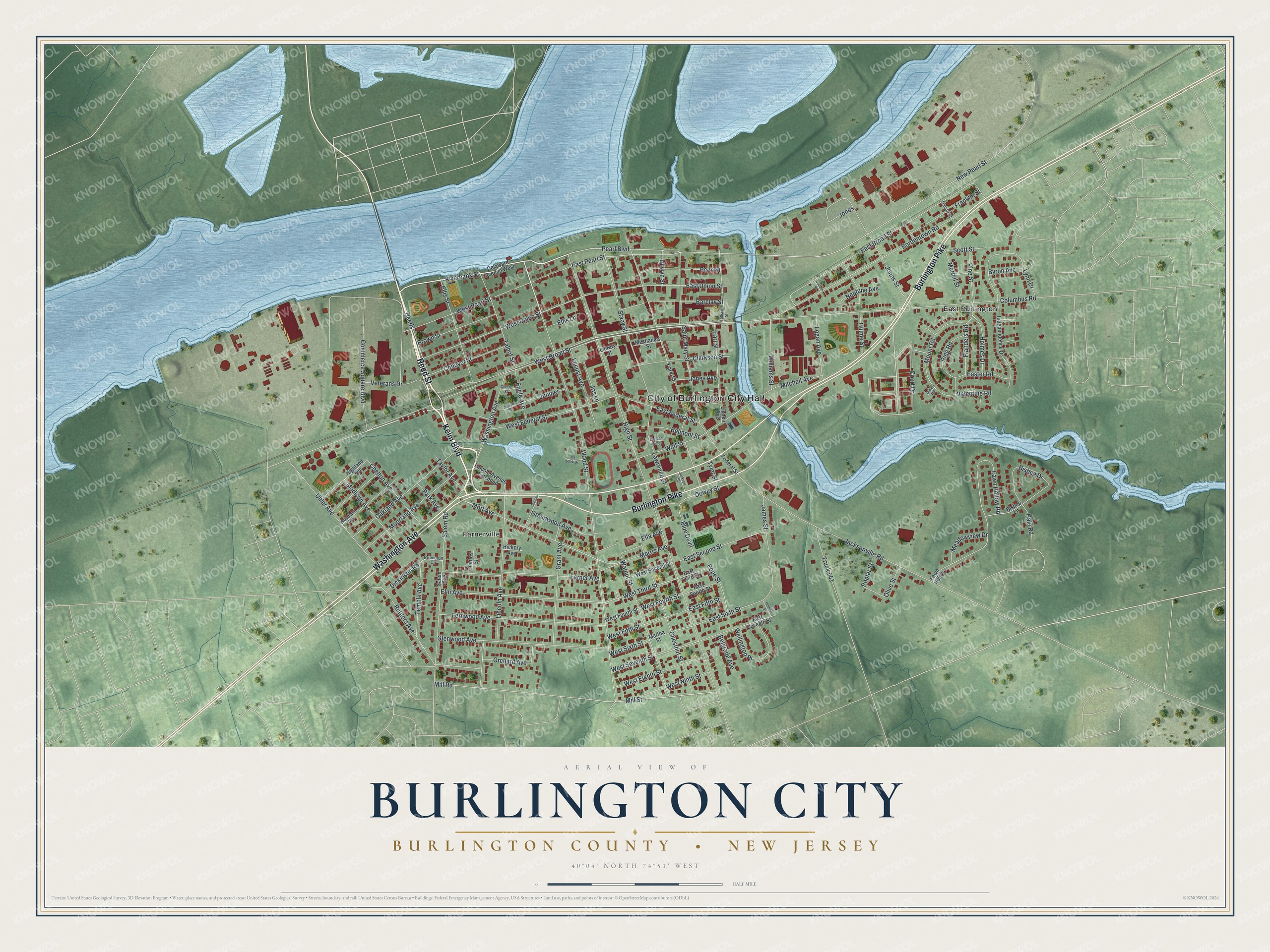
This beautifully detailed map of Burlington City, Burlington County, New Jersey was created in 2026 using aerial imagery combined with modern topographical, census, street and landmark data. It’s a one-of-a-kind view of Burlington City that combines accurate data with a vintage aesthetic. The map shows every building in its true location, many of the roads carry their names, and the shaded topographic relief shows the shape of the land.
Explore an aerial view of Burlington City, Burlington County, New Jersey
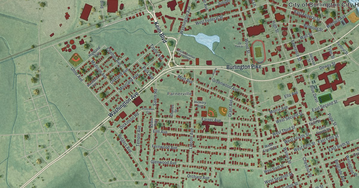
On the map you’ll find City of Burlington City Hall, East Burlington, and Farnerville, along with Reed Street, Keim Boulevard, Washington Avenue, Burlington Pike, West Broad Street, Wood Street, Riverbank Street, Court Drive, Mott Avenue, and more. If you look closely you can even find your house accurately drawn in its correct location. Zoom in on the preview to look for yours.
Did You Know?
English settlers, most of them Quakers, founded Burlington in 1677 on riverfront land bought from the Lenape. It served as the capital of West Jersey until 1702. The name came from Bridlington, England, where an area called Burlington was a district.
Take a closer look at the Burlington City, Burlington County map
Names on this map
These names are printed on this map.
Places: City of Burlington City Hall, East Burlington and Farnerville.
Streets and roads: Washington Avenue, Reed Street, Keim Boulevard, Burlington Pike, West Broad Street, Wood Street, Riverbank Street, Reeds, East Broad Street, Court Drive, West Union Street, Mott Avenue.
More street names, A to Z
Barclay Street, Belgrade Avenue, Belmont Street, Bisbee Drive, Bisbee Lane, Blue Devil, Bordentown Road, Brown Street, Byron Avenue, Charles Street, Chelton Avenue, Cherry Street, Chestnut Street, Clarkson Street, Columbus Road, Commerce Square Boulevard, Conover Street, Corson Street, Delaware Avenue West, Dewey Street, Dickinson Road, Dilwyn Street, Dunbar Homes, Duser Road, Earl Street, Easter Road, East Federal Street, East Fifth Street, East Fourth Street, East Pearl Street, East Second Street, East Seventh Street, East Sixth Street, East Third Street, East Union Street, Ella Avenue, Ellis Lane, Ellis Street, Elm Avenue, Engle Avenue, Farner Avenue, Fawn Hollow Road, Fawn Holow, Federal Street, Fernwood Avenue, Flanders Road, Franklin Street, Gauntt Street, Glenwood Avenue, Grant Avenue, Greenwood Avenue, Hale Road, Hickory Avenue, Highland Avenue, High Street, Holmes Drive, Hulbert Street, Hulme Street, Independence Drive, Iris Lane, Jackson Street, Jacksonville Road, James Street, Jerome Street, Jfk Park Drive, Jones, Jones Avenue, Jones Street, Juniper, Juniper Street, Lawrence Street, Library Street, Lincoln Avenue, Lincoln Avenue Extended, Linden Avenue, Locust Avenue, Logan Avenue, Lynn Drive, Madison Avenue, Martha Street, McNeil Street, Meadowview Drive, Mechanics Street, Mill Road, Mill Street, Mitchell Avenue, Moorland Avenue, Morris Avenue, Mount Road, Neptune Avenue, New Pearl Street, Oakland Avenue, Olive Street, Orchard Avenue, Park Avenue, Pearl Boulevard, Penn Street, Pine Street, Pope Street, Poplar Street, Princeton Circle, Rigg Road, Rutgers Avenue, Saint Mary Street, Salem Avenue, Salem Road, Scott Street, Stacy Street, Talbot Street, Tatham Street, Taylor Avenue, Temple Avenue, Truck 541, Tyler Street, Uhler Avenue, Valentine Road, Veterans Drive, Wall Street, Walnut Street, Wellington Place, West Eighth Street, West Federal Street, West Fifth Street, West Fourth Street, West Ninth Street, West Pearl Street, West Second Street, West Seventh Street, West Sixth Street, West Third Street, Williams Street, Woodland Avenue, York Street.
See it on a wall
The Burlington City, Burlington County map as an 18 x 24 inch print in a black frame.

This beautifully detailed map of Burlington City, Burlington County makes an attractive addition to your office, library, or den, and it can even be used to teach children the geography and history of the area. It also makes a great gift for anyone who grew up in Burlington City or moved away. When you’re done exploring, click here to get your copy of the Burlington City, Burlington County map.