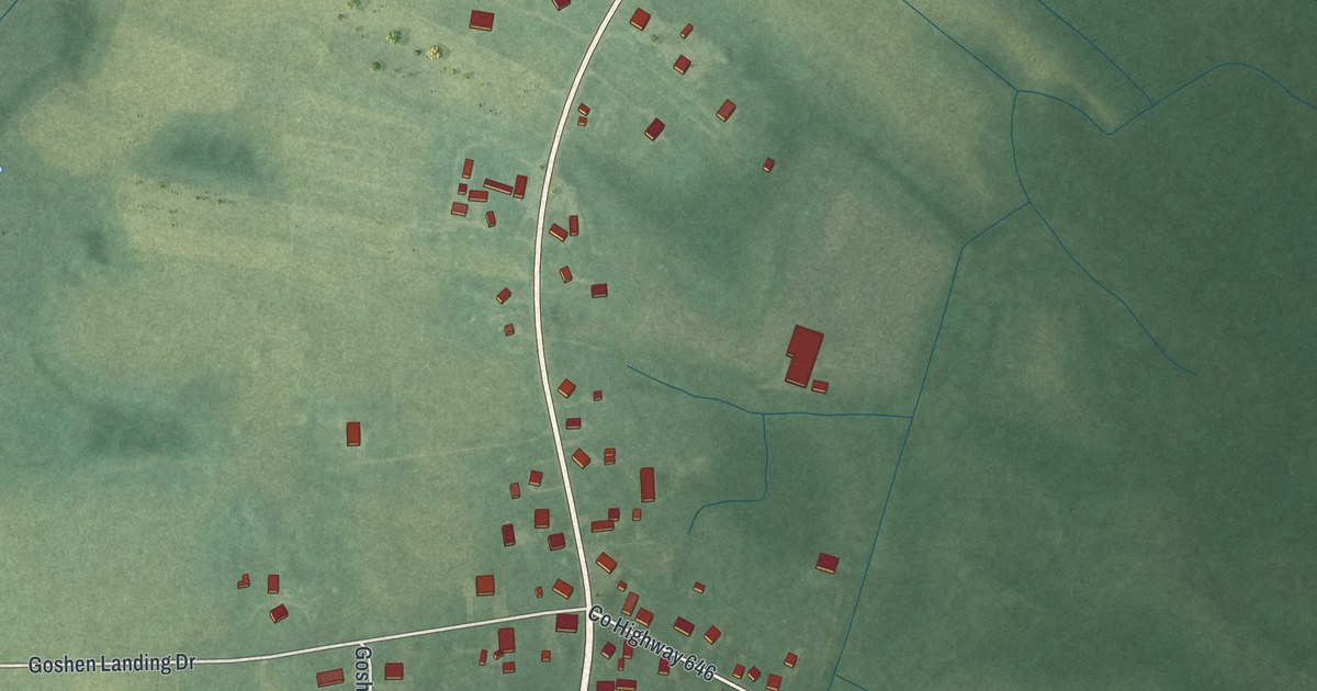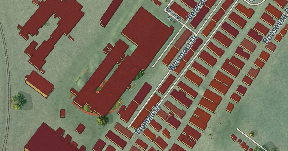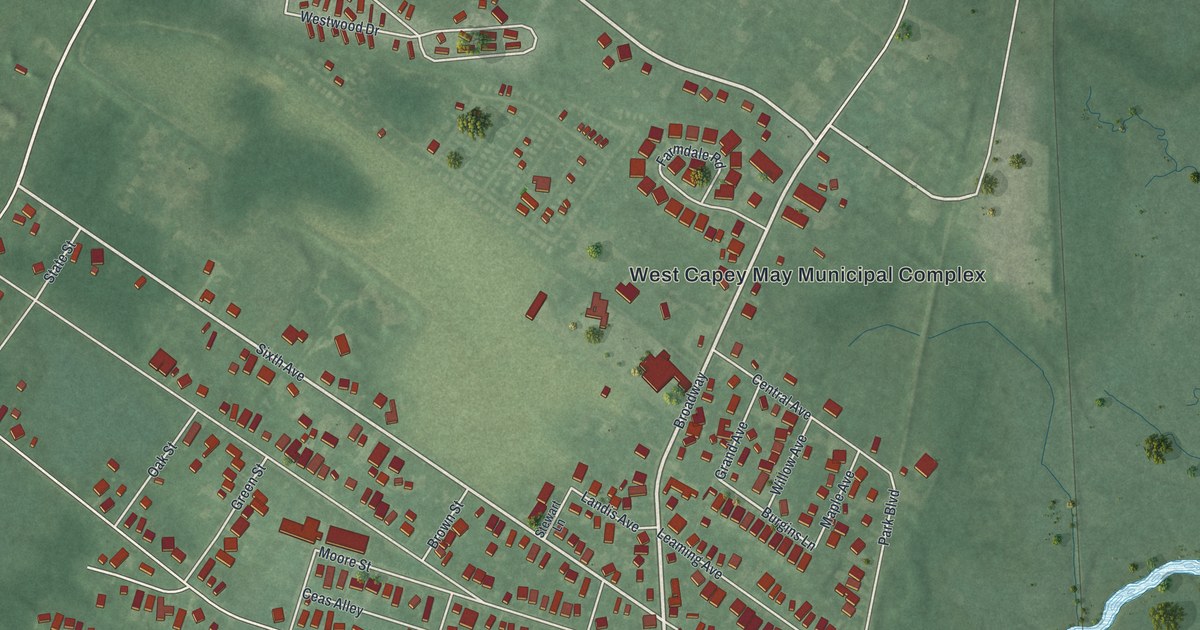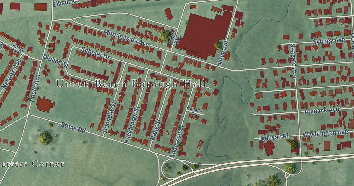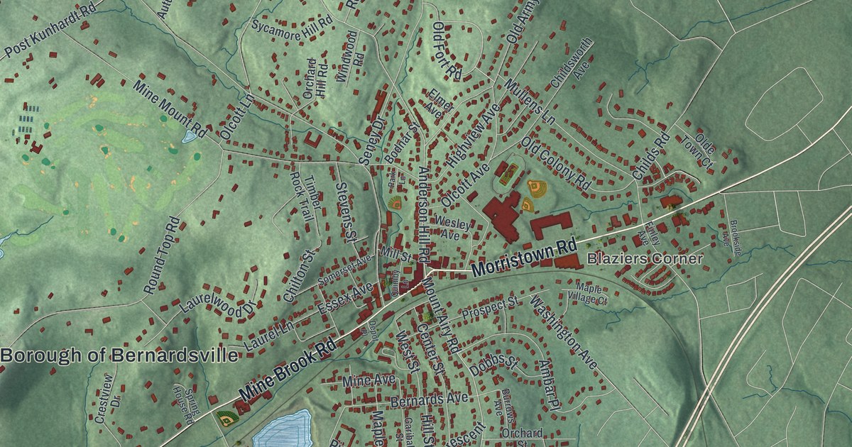
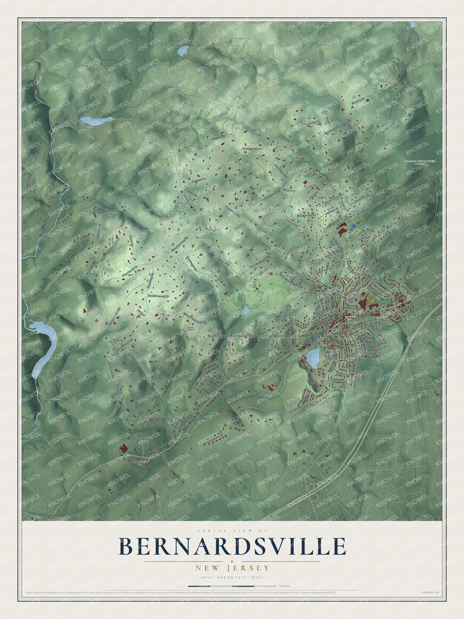
This beautifully detailed map of Bernardsville, New Jersey was created in 2026 using aerial imagery combined with modern topographical, census, street and landmark data. It’s a one-of-a-kind view of Bernardsville that combines accurate data with a vintage aesthetic. The map shows every building in its true location, many of the roads carry their names, and the shaded topographic relief shows the shape of the land.
Explore an aerial view of Bernardsville, New Jersey
On the map you’ll find Municipal Building Borough of Bernardsville, Blaziers Corner, Pill Hill, Scherman Hoffman Wildlife Sanctuary, and Somersetin, along with Morristown Road, Mine Brook Road, Dryden Road, Post Kennel Road, Mountaintop Road, Roebling Road, Chapin Road, and more. If you look closely you can even find your house accurately drawn in its correct location. Zoom in on the preview to look for yours.
Did You Know?
Bernardsville was first a part of Bernards Township called Vealtown. In 1840 it was renamed for Sir Francis Bernard, who governed colonial New Jersey from 1758 until 1760. During the Revolution, General Charles Lee rested his troops in Vealtown in December 1776. On December 13 the British captured him nearby.
Take a closer look at the Bernardsville map
Names on this map
These names are printed on this map.
Places: Municipal Building Borough of Bernardsville, Blaziers Corner, Pill Hill, Scherman Hoffman Wildlife Sanctuary and Somersetin.
Streets and roads: Morristown Road, Mine Brook Road, Dryden Road, Post Kennel Road, Mountaintop Road, Roebling Road, Chapin Road, Pennbrook Road, Mount Airy Road, Mendham Road, Post Kunhardt Road, Seney Drive.
More street names, A to Z
Ambar Place, Anderson Hill Road, Ann Street, Autumn Hill Drive, Ballantine Road, Berkshire Road, Bernards Avenue, Beverly Drive, Bodnar Street, Boulderwood Drive, Brook Hollow Lane, Brookside Avenue, Brushwood Drive, Burrows Avenue, Campbell Road, Carriage House Road, Center Street, Charles Road, Charlotte Hill Drive, Chestnut Avenue, Childs Road, Childsworth Avenue, Chilton Street, Claremont Road, Clark Road, Club Lane, Cobblefield Drive, Crest Drive, Crestview Drive, Crownview Lane, Dayton Crescent, Depot Place, Dobbs Street, Douglass Avenue, Eastern Avenue, Elmer Avenue, Essex Avenue, Finley Avenue, Garibaldi Street, Hardscrabble Road, Harvey Drive, Heritage Court, Hickory Tree Lane, Highview Avenue, Hill Street, Hull Road, Jackson Road, Jockey Hollow Road, Lakeview Drive, Laurel Lane, Laurelwood Drive, Liberty Road, Lindabury Avenue, Lloyd Road, Locust Drive, Maple Street, Maple Village Court, Meeker Road, Mill Street, Mine Avenue, Mine Mount Road, Mitchell Road, Mountainview Lane, Mount Harmony Road, Mullens Lane, Oakley Street, Oak Place, Oak Ridge Road, Olcott Avenue, Olcott Lane, Old Army Road, Old Colony Road, Olde Town Court, Old Fort Road, Old Quarry Road, Old Wood Road, Oneonta Court, Orchard Hill Road, Orchard Street, Overleigh Road, Page Hill Road, Park Lane, Peachcroft Drive, Pfizer Road, Pheasant Hill Drive, Pickle Brook Road, Pill Hill Road, Pine Street, Post Lane, Post Road, Preserve Lane, Prospect Street, Quimby Lane, Ravine Lake Road, Rippling Brook Way, Rolling Hill Road, Rose Hill Court, Round Top Road, Skyline Drive, Somerset Avenue, Southfield Drive, Spring House Road, Spruce Place, Stevens Lane, Stevens Street, Stirling Road, Stone Fence Road, Sunnybrook Road, Sunset Drive, Sutton Place, Sycamore Hill Road, Timber Rock Trail, Tower Mountain Drive, Turnbull Lane, Washington Avenue, Washington Corner Road, Wesley Avenue, West Street, Whitenack Road, Windwood Road, Young Road.
See it on a wall
The Bernardsville map as an 18 x 24 inch print in a black frame.

This beautifully detailed map of Bernardsville makes an attractive addition to your office, library, or den, and it can even be used to teach children the geography and history of the area. It also makes a great gift for anyone with Bernardsville roots. When you’re done exploring, click here to get your copy of the Bernardsville map.