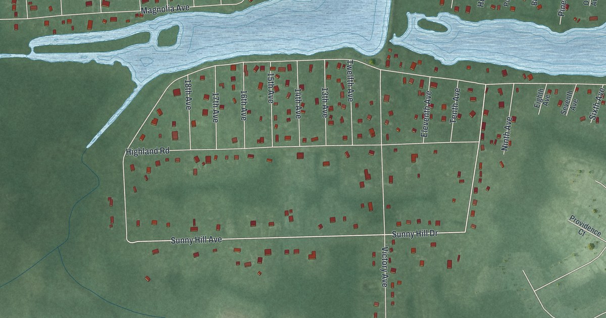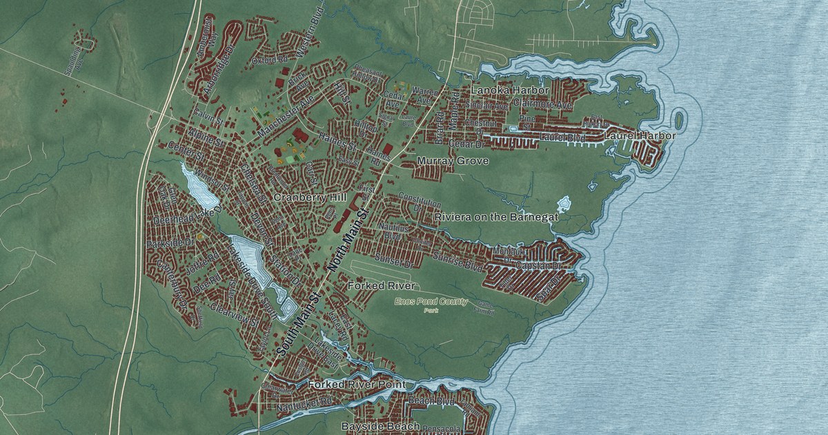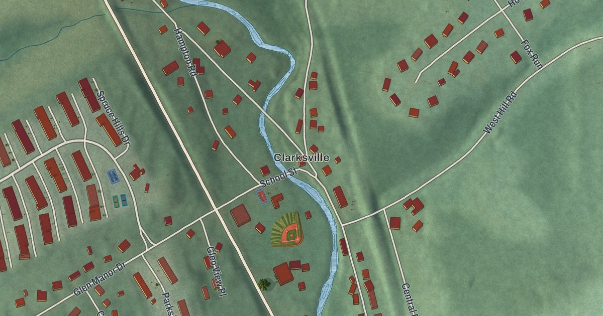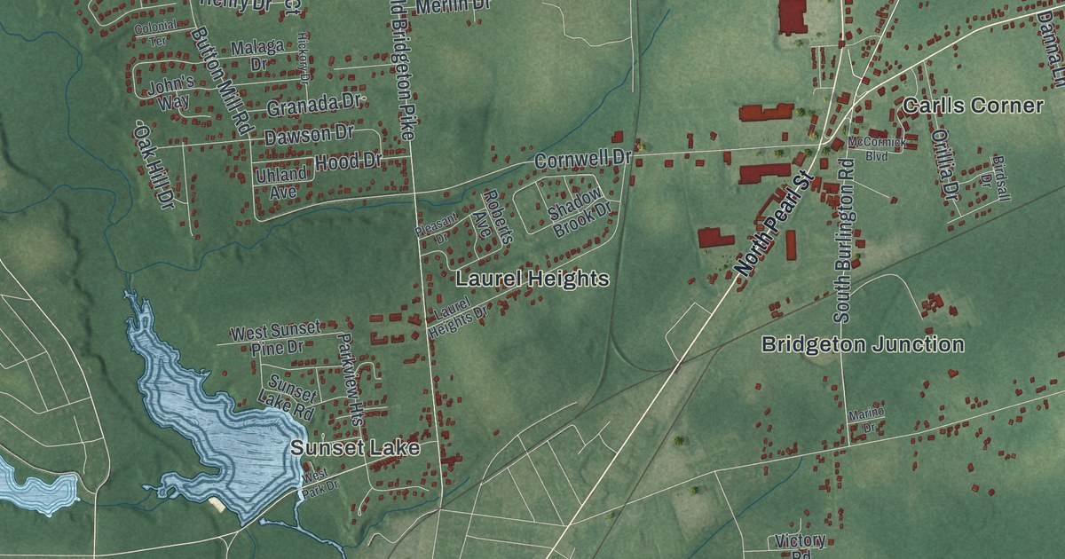
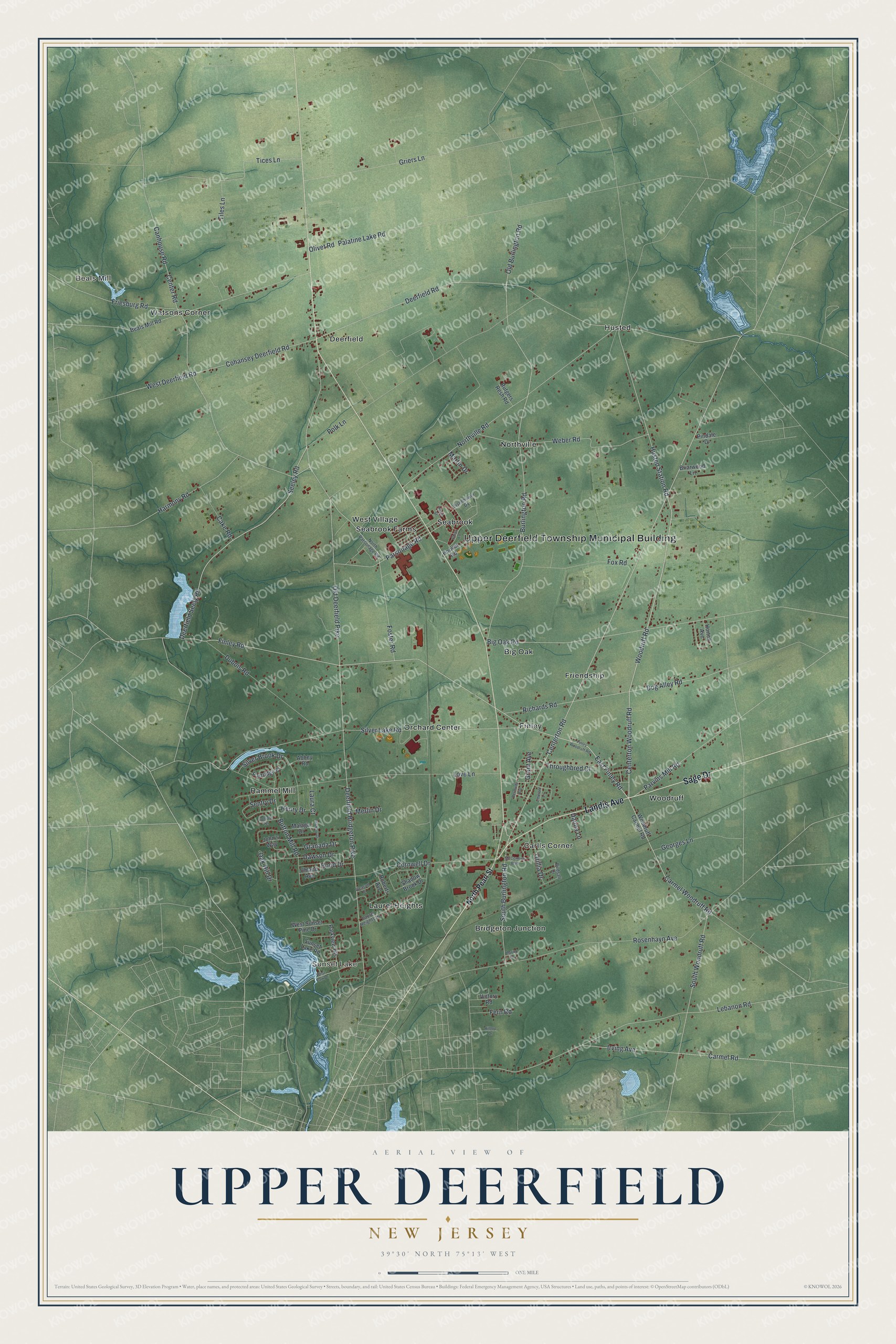
This beautifully detailed map of Upper Deerfield, New Jersey was created in 2026 using aerial imagery combined with modern topographical, census, street and landmark data. It’s a one-of-a-kind view of Upper Deerfield that combines accurate data with a vintage aesthetic. The map shows every building in its true location, many of the roads carry their names, and the shaded topographic relief shows the shape of the land.
Explore an aerial view of Upper Deerfield, New Jersey
On the map you’ll find Upper Deerfield Township Municipal Building, Beals Mill, Sunset Lake, Big Oak, Bridgeton Junction, and Carlls Corner, along with Landis Avenue, Sage Drive, Pearl Street, Centerton Woodruff Road, and more. If you look closely you can even find your house accurately drawn in its correct location. Zoom in on the preview to look for yours.
Did You Know?
Upper Deerfield was carved out of Deerfield Township in 1922 by an act of the state legislature. It took its name from that older township, which had been named for Deerfield, Massachusetts. In 1972 local voters chose to keep it a dry town, so no alcohol can be sold there.
Take a closer look at the Upper Deerfield map
Names on this map
These names are printed on this map.
Places: Upper Deerfield Township Municipal Building, Beals Mill, Sunset Lake, Big Oak, Bridgeton Junction, Carlls Corner, Deerfield, Finley, Friendship, Husted, Laurel Heights, Northville, Orchard Center, Rammel Mill, Seabrook, Seabrook Farms, Watsons Corner, West Village and Woodruff.
Streets and roads: Landis Avenue, Sage Drive, Centerton Woodruff Road, Woodruff Road, East Finley Road, South Woodruff Road, Husted Station Road, Centerton Road, Finley Road, Deerfield Seely Road, Seeley Road, Carmel Woodruff Road.
More street names, A to Z
Abbey Road, Beals Mill Road, Bermuda Avenue, Big Oak Road, Birdsall Drive, Briarwood Lane, Burlington Road, Button Mill Road, Cake Road, Canhouse Road, Carmel Road, Center Road, Chiari Lane, Cohansey Deerfield Road, Colonial Terrace, Cornwell Drive, Danna Lane, Dawson Drive, Deerfield Bridgeton Pike, Deerfield Road, Dog Alley Road, Dubois Road, Eisenhower Drive, Emerald Lane, Fern Road, Finley Woodruff Road, Foster Road, Fox Road, Friesburg Road, Georges Lane, Granada Drive, Grant Avenue, Griers Lane, Harmony Road, Henry Drive, Hickory Drive, Hilltop Drive, Hood Drive, Hoover Road, Horton Avenue, Irving Avenue, John's Way, Laura Court, Laurel Heights Drive, Lebanon Road, Love Lane, Malaga Drive, Marino Drive, Martin Drive, McCormick Boulevard, Merlin Drive, North Parsonage Road, North Pearl Street, Northville Road, Oak Hill Drive, Old Burlington Road, Old Deerfield Pike, Olivet Road, Orillia Drive, Palatine Lake Road, Parkview Heights, Parsonage Road, Partridge Court, Parvins Mill Road, Pindale Drive, Pleasant Drive, Polk Lane, Richards Road, Roberts Avenue, Rosenhayn Avenue, Rutgers Resh Road, Sentry Drive, Shadow Brook Drive, Silver Brook Drive, Silver Lake Road, South Burlington Road, Sunset Lake Road, Throughbred Court, Tices Lane, Tiles Lane, Uhland Avenue, Victory Road, Vilms Street, Weber Road, West Deerfield Road, West Park Drive, West Sunset Pine Drive, Woodruff Carmel Road.
See it on a wall
The Upper Deerfield map as an 18 x 24 inch print in a black frame.

This beautifully detailed map of Upper Deerfield makes an attractive addition to your office, library, or den, and it can even be used to teach children the geography and history of the area. It also makes a great gift for anyone who grew up in Upper Deerfield or moved away. When you’re done exploring, click here to get your copy of the Upper Deerfield map.