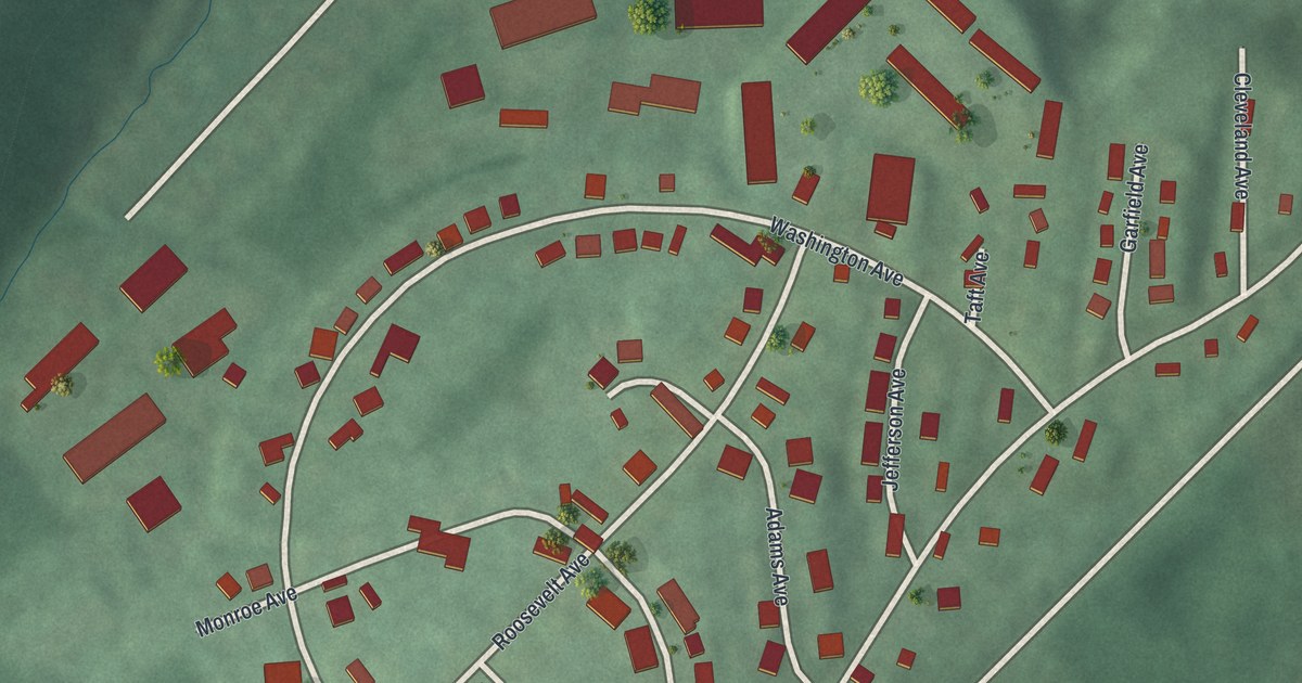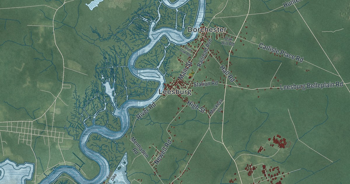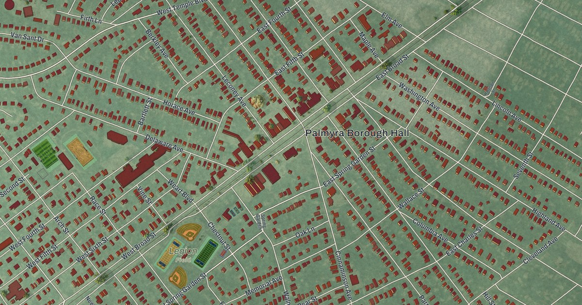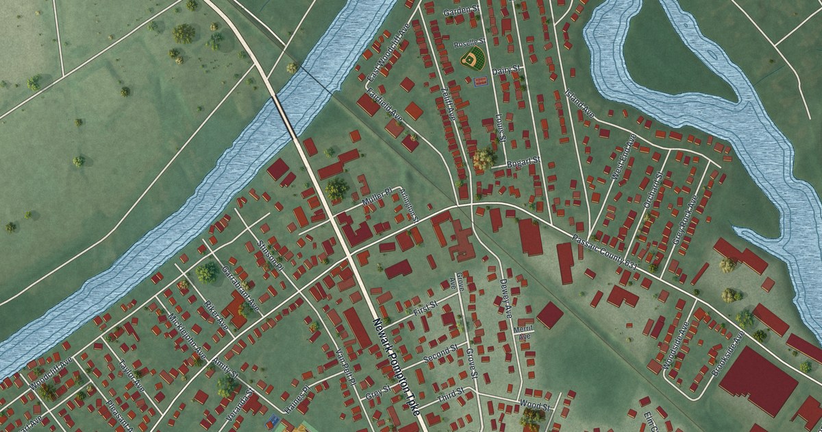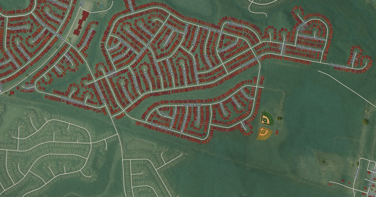
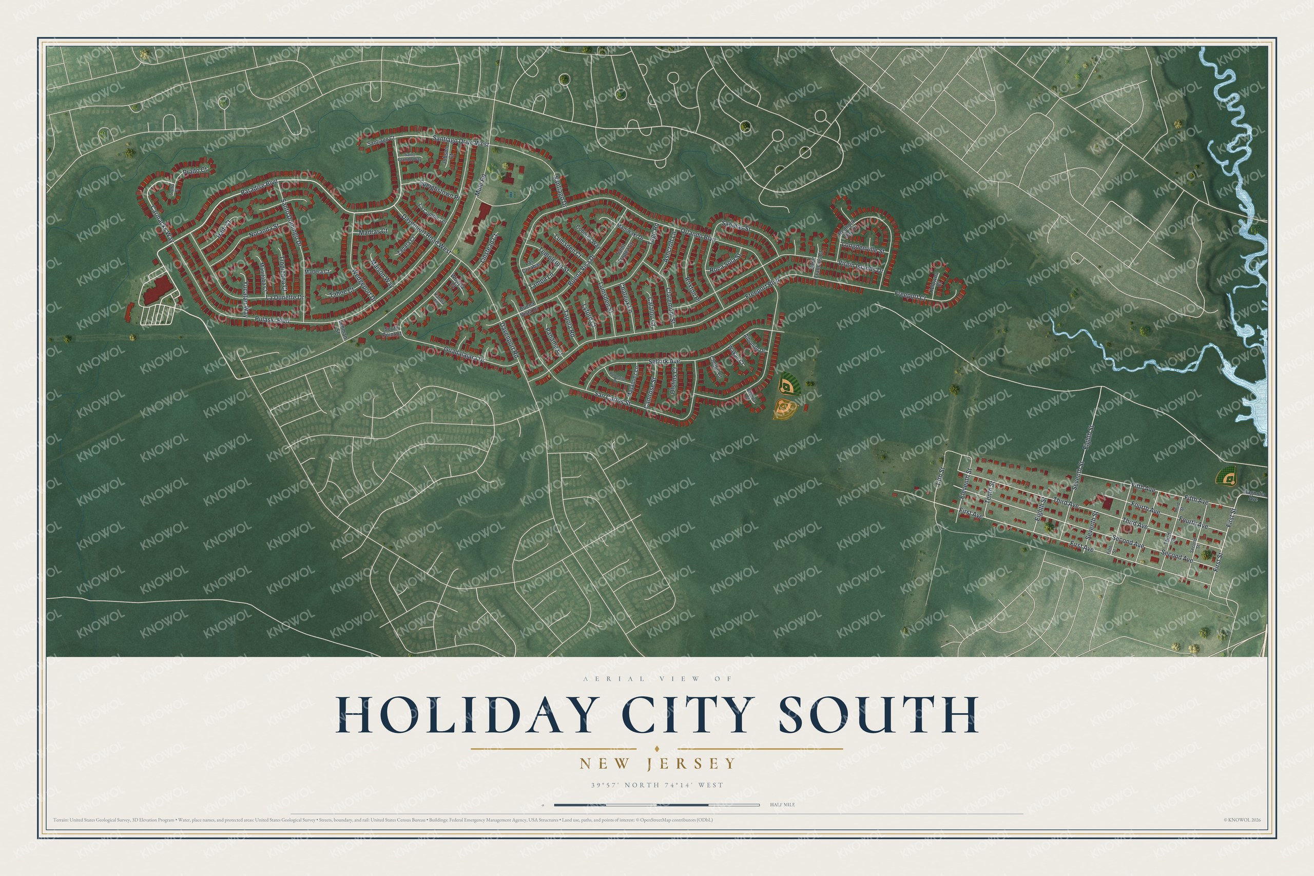
This beautifully detailed map of Holiday City South, New Jersey was created in 2026 using aerial imagery combined with modern topographical, census, street and landmark data. It's a modern aerial view of Holiday City South in Ocean County, New Jersey, that combines modern data with a vintage aesthetic. The roads feature printed names, and if you look closely you can find your exact house accurately shown in its correct location.
Explore an aerial view of Holiday City South, New Jersey
On this map you'll find Paradise Boulevard, Carmacks Way, First Street, 13th Street, Orlando Boulevard, Pulaski Boulevard, Freeport Boulevard, First Avenue, Third Avenue, Mule Road, Second Avenue, San Carlos Street, and more. Each red shape is a building, so zoom in on the preview and look for yours.
Holiday City South is a community in Ocean County. The Census Bureau counted 4,124 people here in 2020. Holiday City South sits about 2 miles northwest of South Toms River, 2 miles east of Holiday City-Berkeley and 3 miles northwest of Beachwood. The map prints the town name in its title panel, with the coordinates below it.
Take a closer look at the Holiday City South map
Names on this map
These names are printed on this map.
Streets and roads: Paradise Boulevard, Carmacks Way, First Street, Santiago Drive West, 13th Street, Orlando Boulevard, Pulaski Boulevard, Freeport Boulevard, First Avenue, Third Avenue, Mule Road, Second Avenue.
More street names, A to Z
Albonito Drive, Ashcroft Lane, Bakoua Court, Buena Visa Drive, Buena Vista Drive, Calalou Court, Camrose Street, Chateux Lane, Chopin Court, Claremont Street, Coborca Way, Davenport Road, Davenport Road West, Eighth Street, Eleventh Street, Fifth Avenue, Fifth Street, Fourth Avenue, Freeport Court, Guadalajara Drive, Haiti Court, Jobson Court, Kahala Terrace, Kelowna Court, La Combe Terrace, La Dunette Drive, Las Croabas, Lehman Street, Linstead Court, Longdenville Street, Lumsden Court, Lumsden Street, Lyford Court, Madera Court, Madras Court, Magnolia Avenue, Maison Way, Manitoba Court, Maniwaki Drive, Mayaquez Lane, Noranda Street, Olstins Court, Panama Court, Polonaise Drive, Prado Court, Redhook Bay Drive, Roca Sola Street, Roxton Place, Sabinas Street, Saint Clande Way, Saint Francois Court, Saint Tropez Court, San Carlos Street, Santiago Court, Santiago Drive, Santo Domingo Drive, Second Street, Selkirk Avenue, Seventh Street, Sophia Court, South Point Court, Speighstown Place, Tahoe Court, Tampa Lane, Tapola Road, Templeton Street, Tenth Street, Third Street, Togo Road, Tropicana Court, Virgin Islands Drive, Wakan Court, Wedgeport Drive, Wojtyla Court, Yucatan Way, Zapata Court.
See it on a wall
The Holiday City South map as a framed print. Swipe for more.


Created by KNOWOL in 2026. The buildings are small red shapes, the roads carry their printed names, and shaded relief shows the shape of the land. The title panel reads "AERIAL VIEW OF HOLIDAY CITY SOUTH, NEW JERSEY" with 39°57' NORTH 74°14' WEST.
It looks right in a kitchen, an office or a den, and it's a gift for anyone who grew up in Holiday City South or moved away. Open the preview and find your street. See sizes and frames for the Holiday City South map.