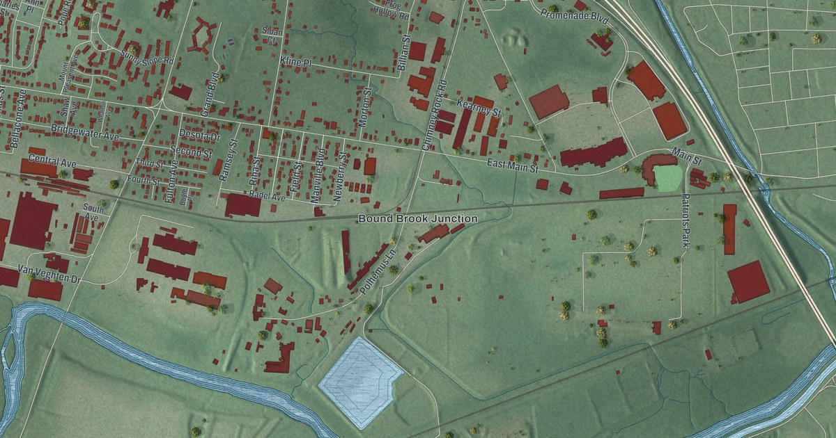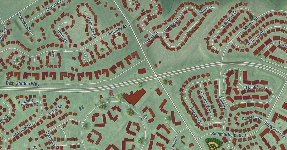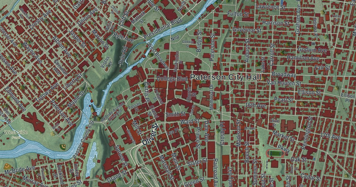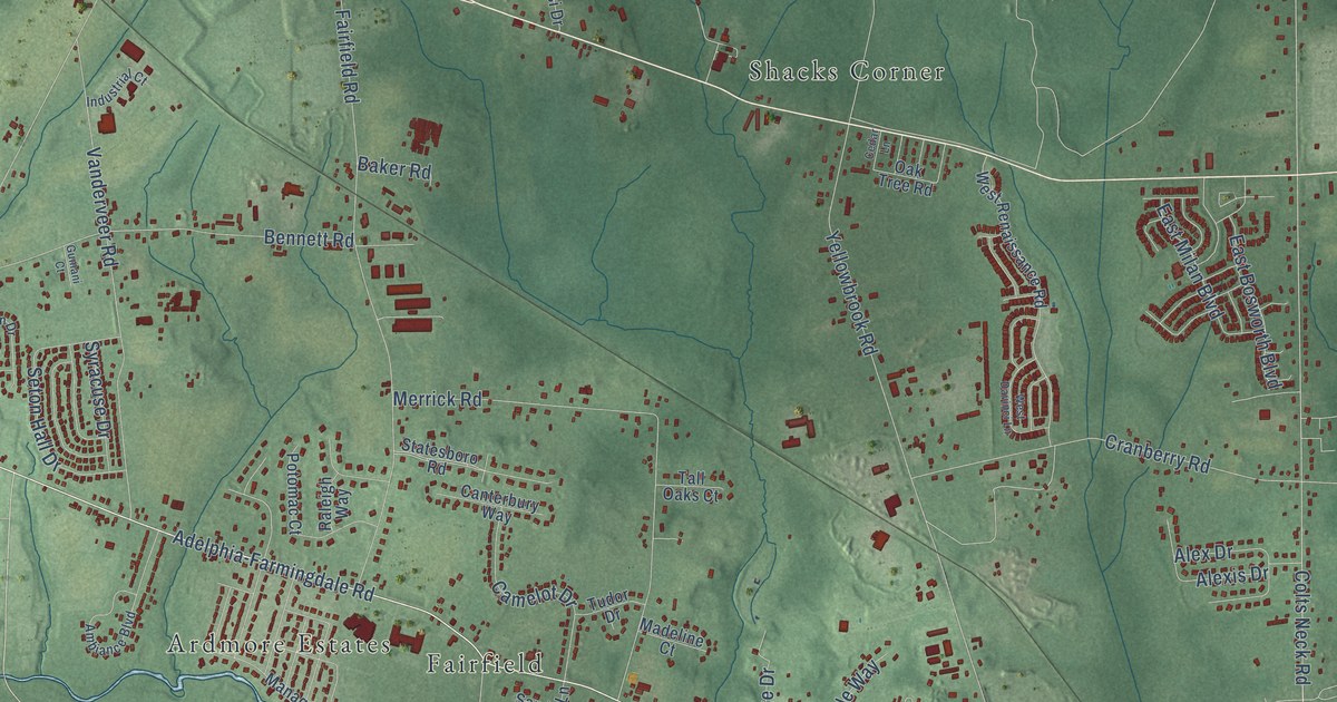
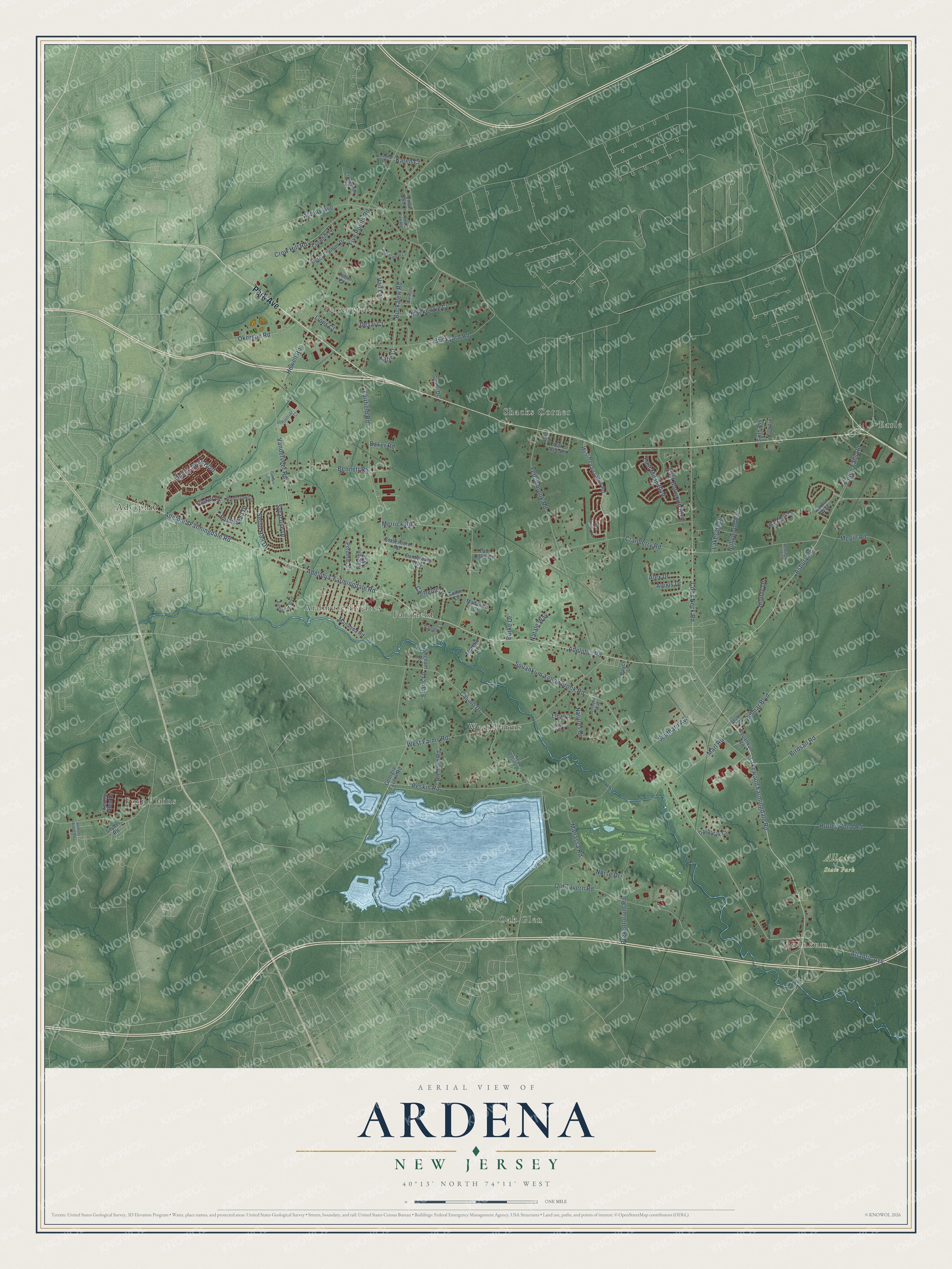
This beautifully detailed map of Ardena, New Jersey was created in 2026 using aerial imagery combined with modern topographical, census, street and landmark data. It’s a one-of-a-kind view of Ardena that combines accurate data with a vintage aesthetic. The map shows every building in its true location, many of the roads carry their names, and the shaded topographic relief shows the shape of the land.
Explore an aerial view of Ardena, New Jersey
On the map you’ll find Allaire State Park, Fort Plains, Earle, Jerseyville, Adelphia, Oak Glen, West Farms, Shacks Corner, Squankum, Ardmore Estates, and Fairfield, along with Park Avenue, and more. If you look closely you can even find your house accurately drawn in its correct location. Zoom in on the preview to look for yours.
Did You Know?
From Internet Archive: "A, R., in which he maintains pleasant relations with his old army comrades of the blue, while of the Baptist' church at Ardena he is also a worthy and zealous member."
Ardena is a community in Monmouth County.
Take a closer look at the Ardena map
Names on this map
These names are printed on this map.
Places: Allaire State Park, Fort Plains, Earle, Jerseyville, Adelphia, Oak Glen, West Farms, Shacks Corner, Squankum, Ardmore Estates and Fairfield.
Streets and roads: Park Avenue, Adelphia Road, Adelphia Farmingdale Road, Adelphia-Farmingdale Road, Lakewood Farmingdale Road, Peskin Road, Atlantic Avenue, Asbury Road, Casino Drive, Colts Neck Road, Queen Anne Boulevard, Squankum Yellowbrook Road.
More street names, A to Z
Alex Drive, Alexis Drive, Ambiance Boulevard, Anthony Way, Asbury Avenue, Baker Road, Barrister Court, Belmar Boulevard, Bennett Road, Birdsall Road, Boyce Lane, Brian Court, Brickyard Road, Buckalew Road, Burke Drive, Camelot Drive, Canterbury Way, Cedar Lane, Cloverhill Lane, Cranberry Road, Crowhill Lane, Crow Hill Road, Daybreak Court, Desai Court, East Bosworth Boulevard, East Milan Boulevard, Ethan Drive, Evans Lane, Fairfield Road, Five Points Road, Georgia Tavern Road, Ginesi Drive, Gumani Court, Harvest Ridge Road, Hollywood Avenue, Howell Road, Hurley Pond Road, Industrial Court, Johnny Drive, Karen Court, Katie Court, Ketcham Road, Lakeside Drive, Lions Court, Mackenzie Court, Madeline Court, Manaqua Road, Manassa Road, Marl Road, Megill Road, Merrick Road, Morello Court, Natale Way, Natures Drive, New Casino Drive, Nicklaus Lane, Norse Drive, Oak Tree Road, Okerson Road, Old Tavern Road, Peter Forman Drive, Picket Place, Plumstead Drive, Potomac Court, Preventorium Road, Quail Run Court, Raleigh Way, Red Fox Road, Remington Court, Richard Road, Richmar Court, Sandy Lane, Seattle Slew Drive, Seton Hall Drive, Shafto Street, Sixth Avenue, Snyder Road, Southard Avenue, Squankum Road, Statesboro Road, Syracuse Drive, Tall Oaks Court, Third Avenue, Tinton Falls Road, Tobi Court, Tudor Drive, Vail Lane, Vanderveer Road, Vardon Way, West Davinci Lane, West Farms Road, West Renaissance Road, Windswept Lane, Woodstown Drive, Yellowbrook Road.
See it on a wall
The Ardena map as a framed print. Swipe for more.


This beautifully detailed map of Ardena makes an attractive addition to your office, library, or den, and it can even be used to teach children the geography and history of the area. It also makes a great gift for anyone with Ardena roots. When you’re done exploring, click here to get your copy of the Ardena map.