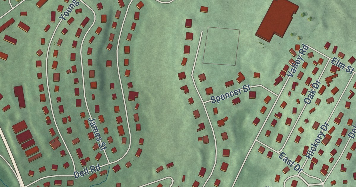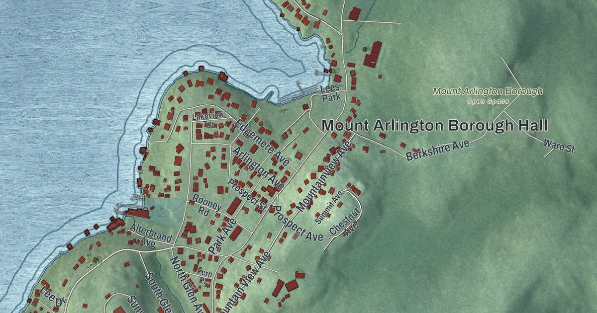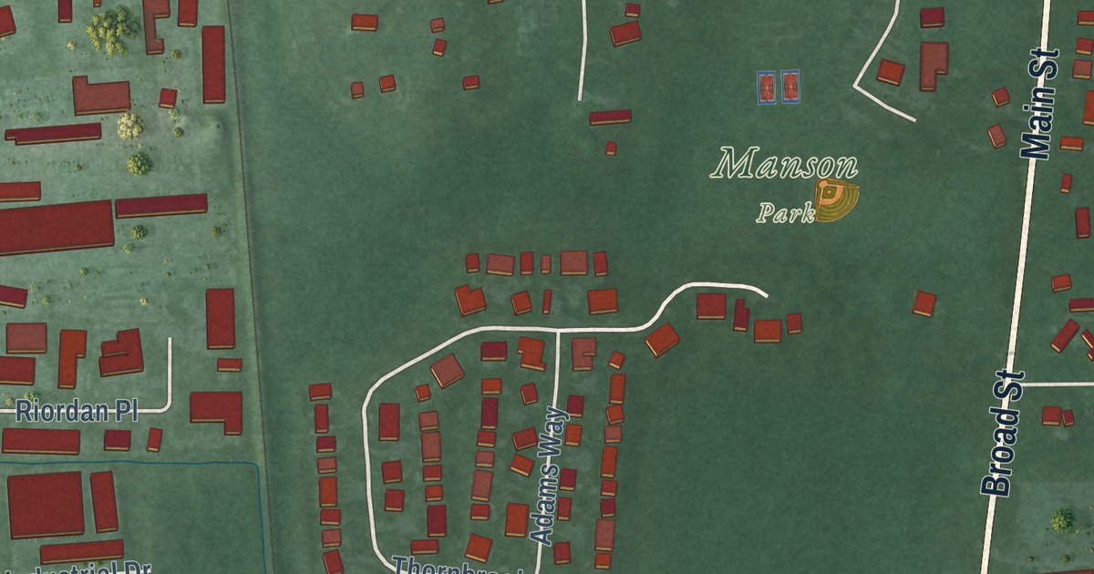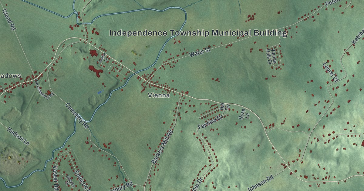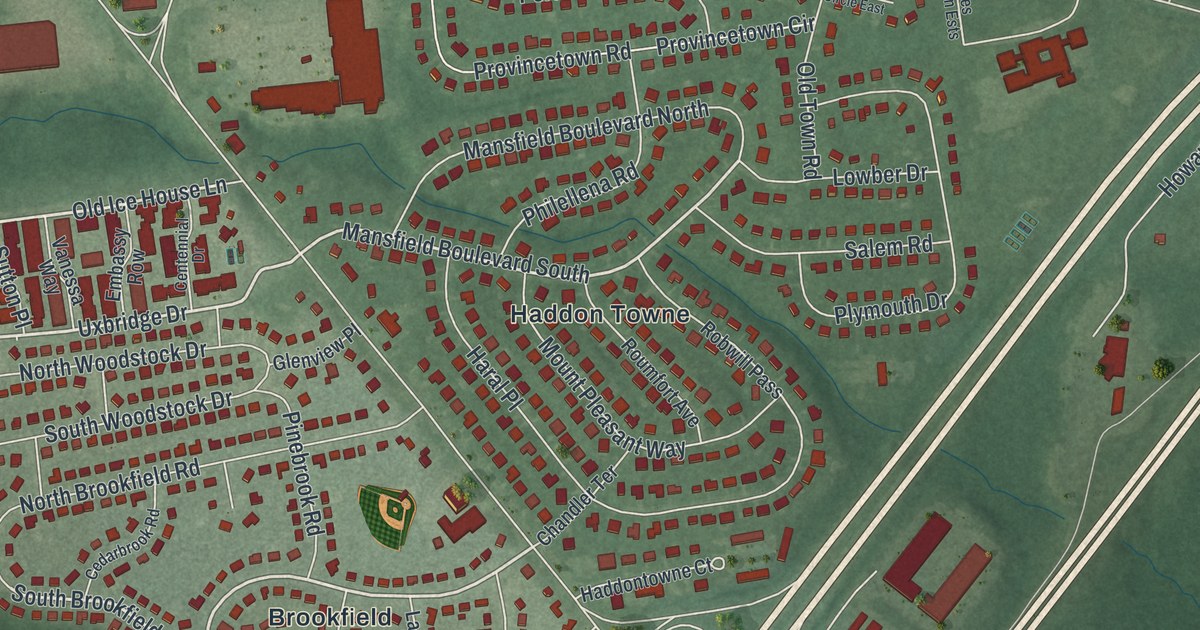
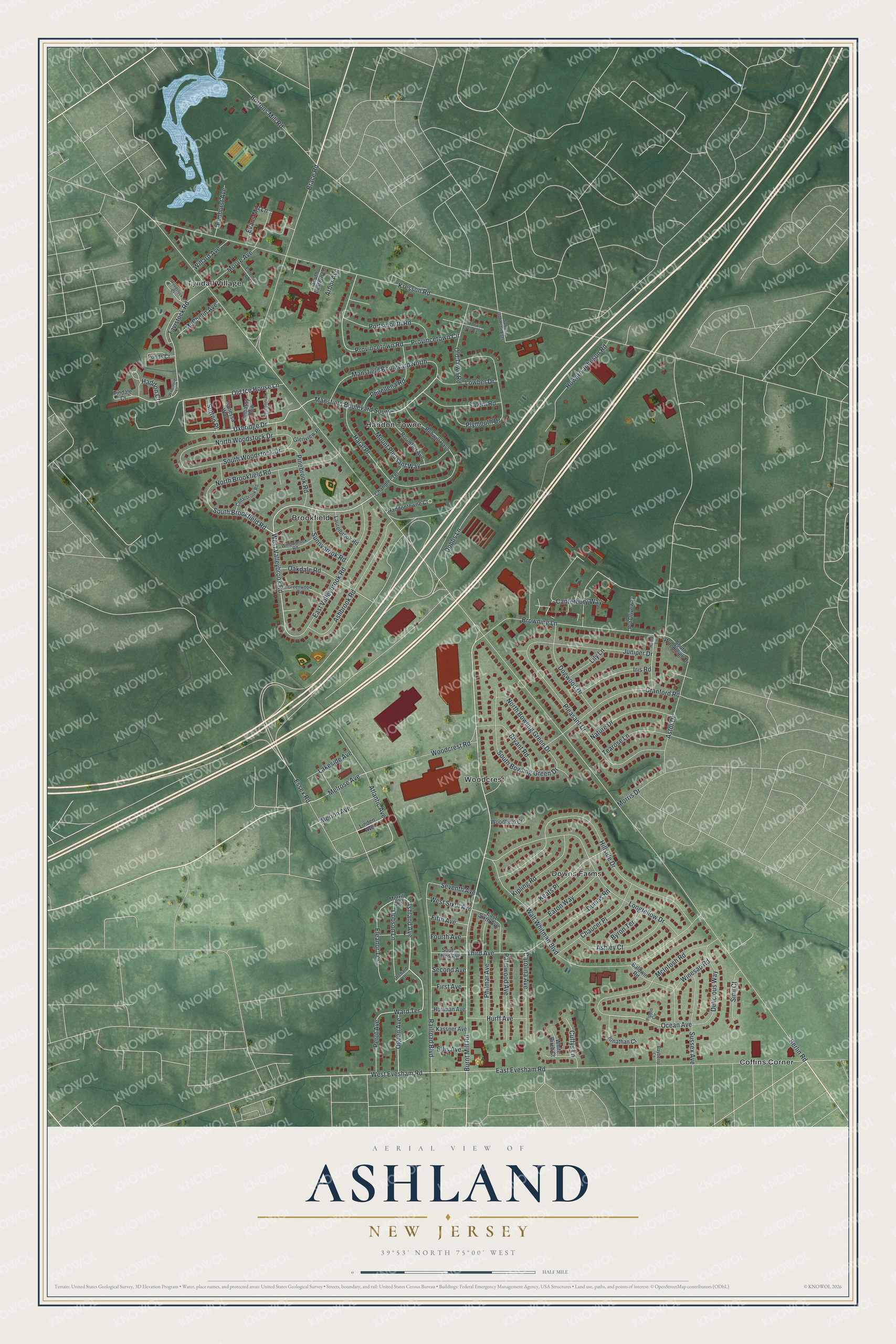
This beautifully detailed map of Ashland, New Jersey was created in 2026 using aerial imagery combined with modern topographical, census, street and landmark data. It’s a one-of-a-kind view of Ashland that combines accurate data with a vintage aesthetic. The map shows every building in its true location, many of the roads carry their names, and the shaded topographic relief shows the shape of the land.
Explore an aerial view of Ashland, New Jersey
On the map you’ll find Brookfield, Coffins Corner, Downs Farms, Haddon Towne, Tyndall Village, and Woodcrest, along with Burnt Mill Road, Ashland Avenue, Uxbridge Drive, West Evesham Road, Old Ice House Lane, Mansfield Boulevard South, and more. If you look closely you can even find your house accurately drawn in its correct location. Zoom in on the preview to look for yours.
Take a closer look at the Ashland map
Names on this map
These names are printed on this map.
Places: Brookfield, Coffins Corner, Downs Farms, Haddon Towne, Tyndall Village and Woodcrest.
Streets and roads: Burnt Mill Road, Ashland Avenue, Uxbridge Drive, West Evesham Road, Old Ice House Lane, Mansfield Boulevard South, South Brookfield Road, West Valleybrook Road, Ocean Avenue, Melrose Avenue, Ward Terrace, Tavistock Road.
More street names, A to Z
Arbor Avenue, Ashbrook Road, Ashley Court, Astor Drive, Atlantic Avenue, Baldwin Road, Bayberry Court, Berlin Road, Bortons Mill Road, Brace Road, Browning Lane, Bryant Road, Byron Terrace, Canterbury Way, Carolina Avenue, Cedarbrook Road, Centennial Drive, Chandler Terrace, Chaucer Place, Coleman Avenue, Cranford Road, Cuffys Lane, Delicious Way, Dobbs Lane, Dobson Lane, Dogwood Drive, Dumas Road, East Evesham Road, East Sixth Avenue, East Valleybrook Road, Eaton Way, Eleanor Terrace, Ellis Avenue, Elmhurst Avenue, Embassy Row, Essex Road, Evans Mill Lane, Fifth Avenue, First Avenue, Fourth Avenue, Glenview Place, Greenwood Road, Haddon Court, Haddontowne Court, Haral Place, Hillside Drive, Hoffman Avenue, Howard Johnson Road, Hurff Avenue, Iris Road, James Johnson Ests, Jonathan Court, Juniper Drive, Kassner Avenue, Keats Place, Kipling Road, Kresson Road, Lakeside Avenue, Laurelbrook Road, Lily Lane, Linden Avenue, Longfellow Drive, Lowber Drive, Mansfield Boulevard North, McIntosh Road, McPhelin Avenue, Merion Avenue, Moore Avenue, Morrill Terrace, Morris Drive, Mount Pleasant Way, Nature Drive, North Bowling Green Drive, North Brookfield Road, North Woodstock Drive, Oakdale Road, Ogden Avenue, Old Town Circle East, Old Town Road, Orchard Lane, Palmwood Avenue, Perot Avenue, Philellena Road, Philmar Avenue, Pinebrook Road, Pippin Circle, Pleasant Drive, Plymouth Drive, Ponds Court, Portsmouth Road, Provincetown Circle, Provincetown Road, Pvt Driveway, Railroad Boulevard, Randy Lane, Robwill Pass, Roumfort Avenue, Salem Road, Second Avenue, Seventh Avenue, Simi Court, South Bowling Green Drive, South Lantern Lane, South Third Avenue, South Woodleigh Drive, South Woodstock Drive, Sunnybrook Road, Sussex Avenue, Sutton Place, Tearose Lane, Third Avenue, Tindale Court, Vanessa Way, Walt Whitman Boulevard, Waterford Court, West Sixth Avenue, White Birch Court, Willard Avenue, Willowbrook Road, Winesap Road, Woodcrest Road, Woodfield Court, Woodstock Court.
See it on a wall
The Ashland map as an 18 x 24 inch print in a black frame.

This beautifully detailed map of Ashland makes an attractive addition to your office, library, or den, and it can even be used to teach children the geography and history of the area. It also makes a great gift for anyone who grew up in Ashland or moved away. When you’re done exploring, click here to get your copy of the Ashland map.