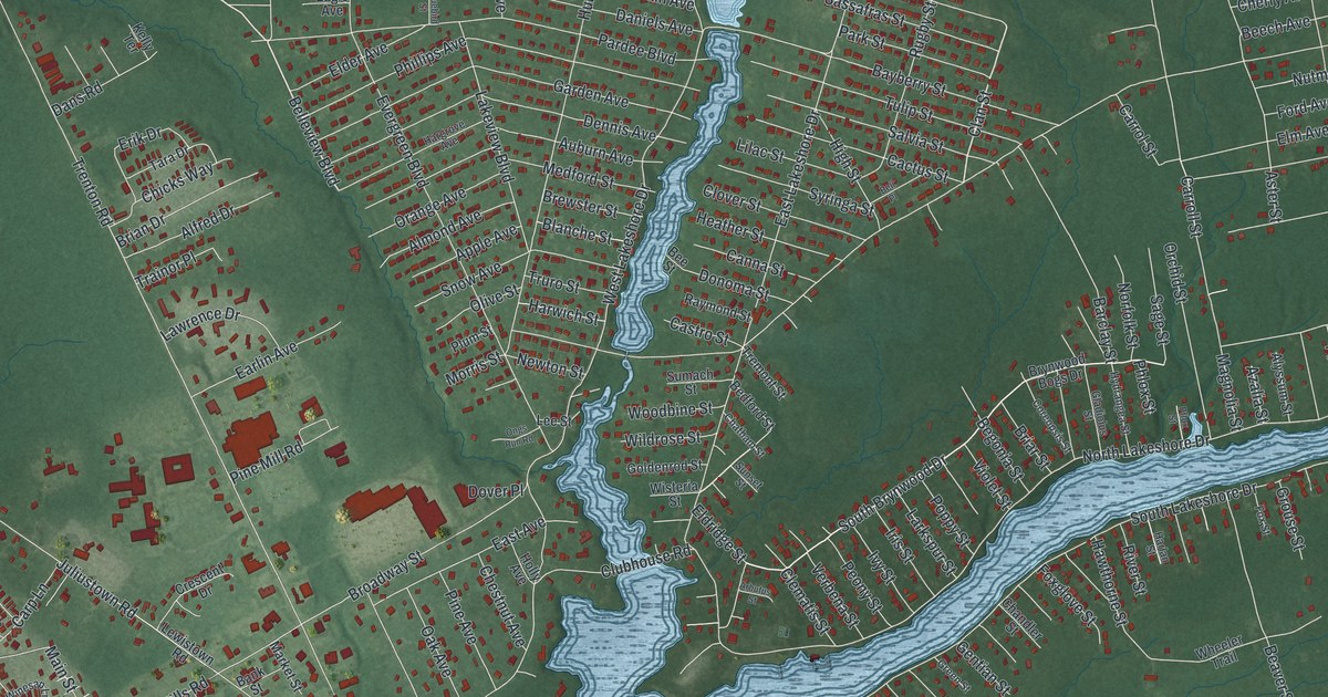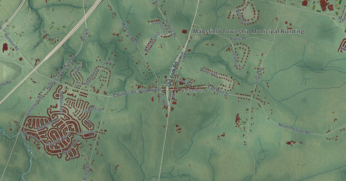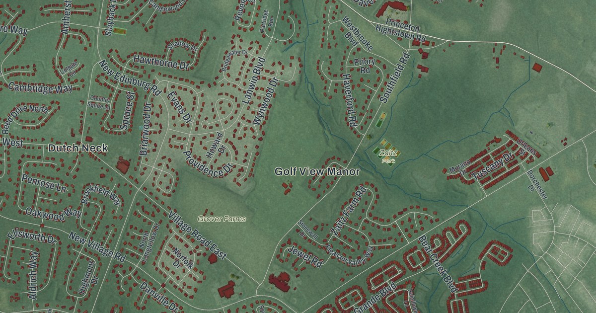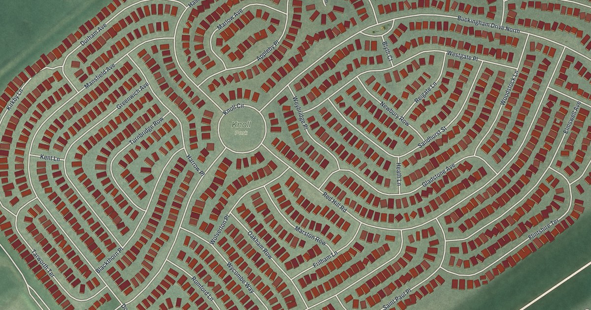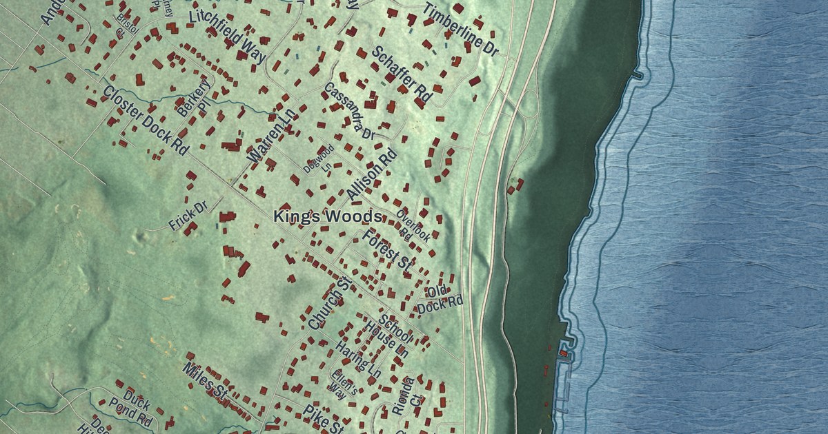
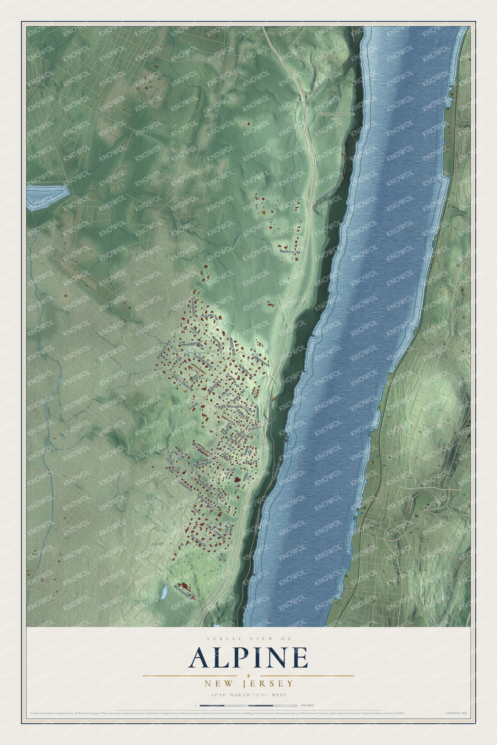
This beautifully detailed map of Alpine, New Jersey was created in 2026 using aerial imagery combined with modern topographical, census, street and landmark data. It’s a one-of-a-kind view of Alpine that combines accurate data with a vintage aesthetic. The map shows every building in its true location, many of the roads carry their names, and the shaded topographic relief shows the shape of the land.
Explore an aerial view of Alpine, New Jersey
On the map you’ll find Palisades Interstate Park, Kings Woods, and State Line Lookout, along with Henry Hudson Drive, Anderson Avenue, Closter Dock Road, Hillside Avenue, Rio Vista Drive, Church Street, Robin Lane, Litchfield Way, Timberline Drive, and more. If you look closely you can even find your house accurately drawn in its correct location. Zoom in on the preview to look for yours.
Did You Know?
Alpine got its name from the wife of journalist Charles Nordhoff, because the setting brought the Swiss Alps to mind. The New Jersey Legislature formed the borough on April 8, 1903, from parts of Harrington Township. Alpine is the easternmost town in the state.
Take a closer look at the Alpine map
Names on this map
These names are printed on this map.
Places: Palisades Interstate Park and Kings Woods.
Streets and roads: Henry Hudson Drive, State Line Lookout, Anderson Avenue, Closter Dock Road, Hillside Avenue, Rio Vista Drive, Church Street, Robin Lane, Litchfield Way, Timberline Drive, Cambridge Way, Montammy Drive.
More street names, A to Z
Allison Road, Autumn Terrace, Berkery Place, Bristol Court, Buckingham Drive, Cassandra Drive, Charney Place, Deer Hill Road, Dogwood Lane, Duck Pond Road, Ellen's Way, Forest Street, Frick Drive, Glengoin Drive, Graham Street, Haring Lane, Hemlock Drive, Highwood Place, Hilltop Lane, Hudson Drive, Jackson Drive, Margo Way, Marie Major Drive, Miles Street, Old Dock Road, Overlook Road, Pike Street, Rionda Court, Ruckman Road, Schaffer Road, School House Lane, Sherwood Court, Tamarack Road, The Esplanade, Tulip Tree Lane, Warren Lane, Wilson Drive.
See it on a wall
The Alpine map as an 18 x 24 inch print in a black frame.

This beautifully detailed map of Alpine makes an attractive addition to your office, library, or den, and it can even be used to teach children the geography and history of the area. It also makes a great gift for anyone with Alpine roots. When you’re done exploring, click here to get your copy of the Alpine map.