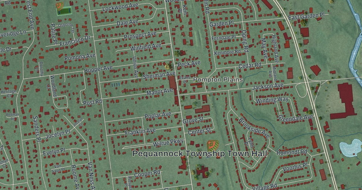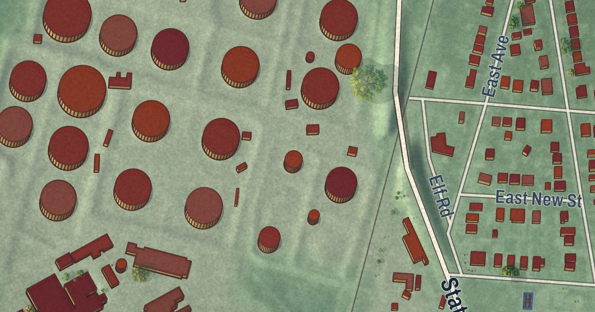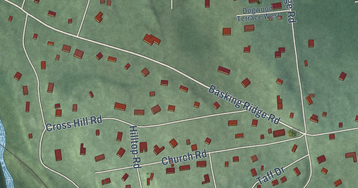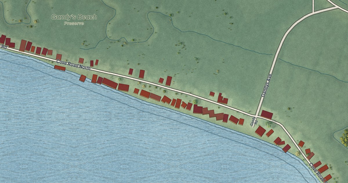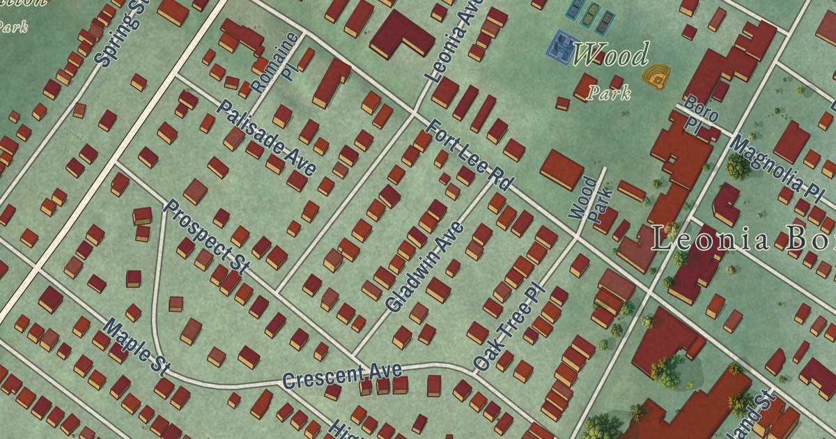
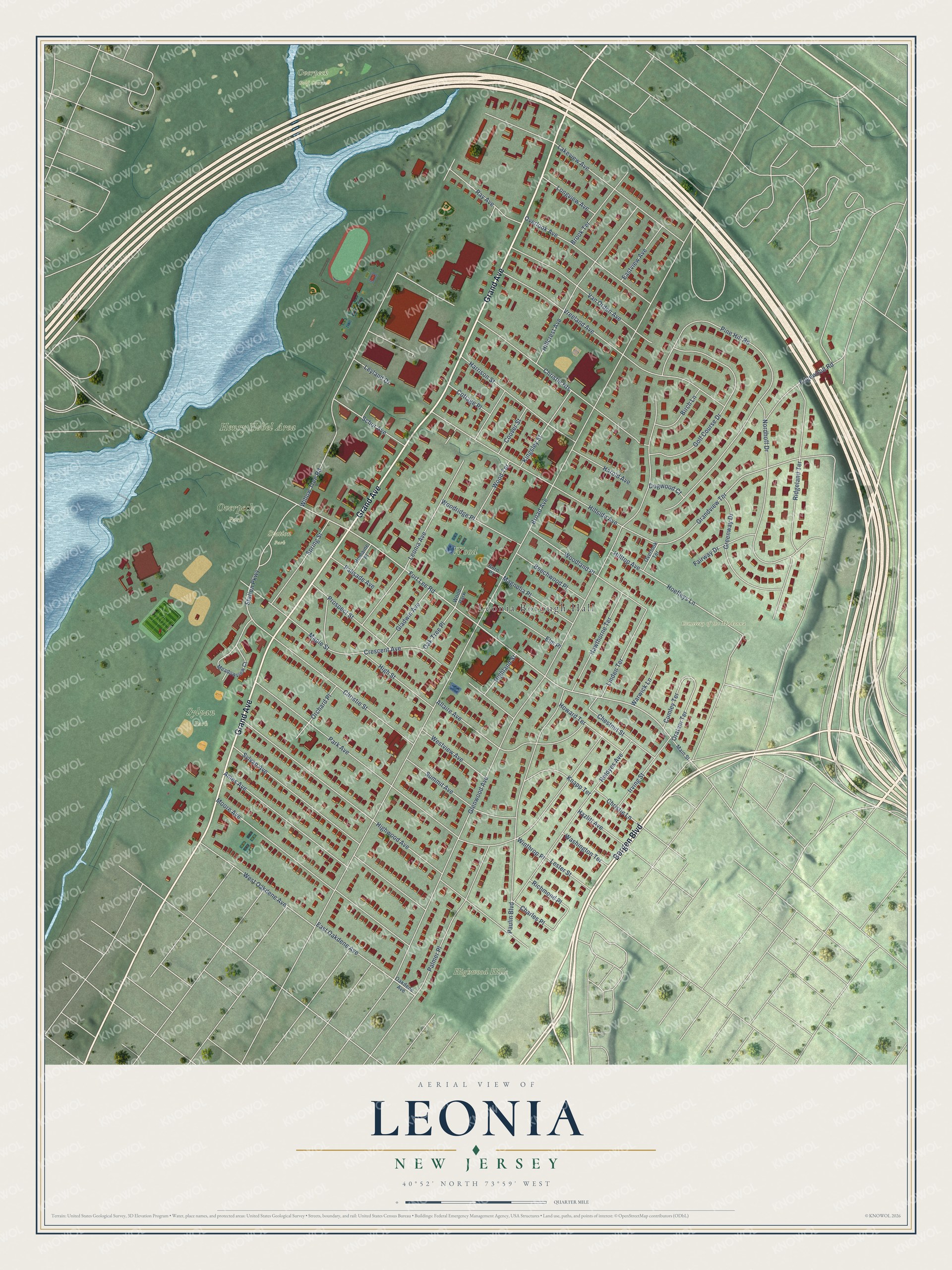
This beautifully detailed map of Leonia, New Jersey was created in 2026 using aerial imagery combined with modern topographical, census, street and landmark data. It’s a one-of-a-kind view of Leonia that combines accurate data with a vintage aesthetic. The map shows every building in its true location, many of the roads carry their names, and the shaded topographic relief shows the shape of the land.
Explore an aerial view of Leonia, New Jersey
On the map you’ll find Leonia Borough Hall, Cemetery of the Madonna, Henry Hobel Area, Highwood Hills, Overpeck Park, Overpeck Golf Course, Station Park, Sylvan Park, and Wood Park, along with Grand Avenue, Bergen Boulevard, Fort Lee Road, and more. If you look closely you can even find your house accurately drawn in its correct location. Zoom in on the preview to look for yours.
Did You Know?
Leonia was first called West Fort Lee. In 1865, town leaders including J. Vreeland Moore picked the name Leonia to honor General Charles Lee of the Revolutionary War. The nearby borough of Fort Lee is also named for him.
Take a closer look at the Leonia map
Names on this map
These names are printed on this map.
Places: Leonia Borough Hall, Cemetery of the Madonna, Henry Hobel Area, Highwood Hills, Overpeck Park, Overpeck Golf Course, Station Park, Sylvan Park and Wood Park.
Streets and roads: Grand Avenue, Bergen Boulevard, Fort Lee Road, Oratam Terrace, Grandview Terrace, Station Parkway, Broad Avenue, Glenwood Avenue, Park Avenue, Highwood Avenue, Pine Hill Road, Hillside Avenue.
More street names, A to Z
Allaire Avenue, Ames Avenue, Beechwood Place, Birch Lane, Boro Place, Brook Terrace, Charles Place, Chestnut Street, Christie Heights, Christie Lane, Christie Street, Coover Street, Cottage Place, Crescent Avenue, Cumley Terrace, Dogwood Court, East Oakdene Avenue, Eastview Avenue, Edgewood Road, Elm Place, Fairway Drive, Gladwin Avenue, Golf Course Drive, Greenway Drive, Harold Avenue, Harrison Street, Hawthorne Terrace, Hazlitt Avenue, Highland Street, High Street, Hillcrest Avenue, Hilltop Avenue, Hoefleys Lane, Howard Terrace, Irving Street, Kingsley Street, Knapp Terrace, Lakeview Avenue, Leonia Avenue, Lester Street, Leyland Drive, Linden Terrace, Longview Avenue, Magnolia Place, Main Street, Maple Street, Meadowview Court, Moore Avenue, Nordhoff Drive, Oakdene Avenue, Oak Tree Place, Orchard Place, Overlook Avenue, Overlook Terrace, Palisade Avenue, Palmer Place, Paulin Boulevard, Prospect Street, Ray Avenue, Reldyes Avenue, Richmond Place, Ridgeland Terrace, Romaine Place, Schor Avenue, Spring Street, Summit Avenue, Sylvan Avenue, Van Orden Avenue, Vreeland Avenue, Warwick Lane, Washington Terrace, West Oakdene Avenue, Westview Avenue, Willow Tree Road, Winthrop Place, Woodland Place, Woodridge Place, Wood Terrace.
See it on a wall
The Leonia map as an 18 x 24 inch print in a black frame.

This beautifully detailed map of Leonia makes an attractive addition to your office, library, or den, and it can even be used to teach children the geography and history of the area. It also makes a great gift for someone who left Leonia and still calls it home. When you’re done exploring, click here to get your copy of the Leonia map.