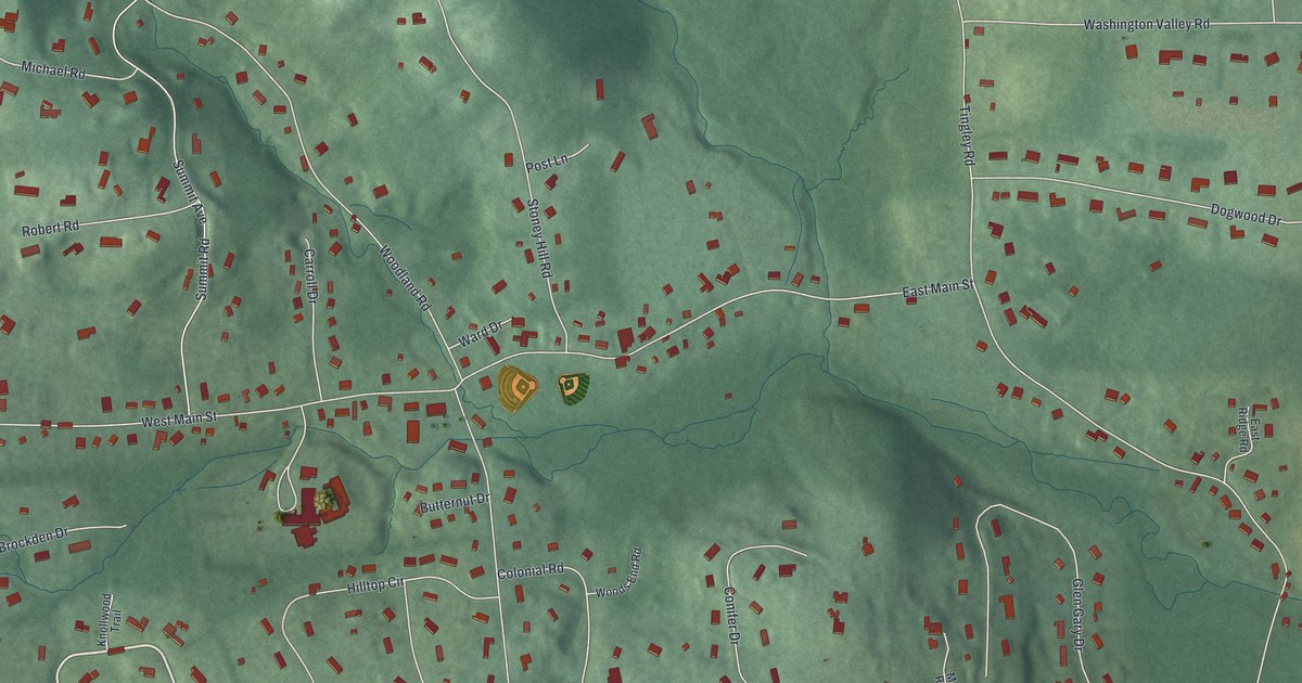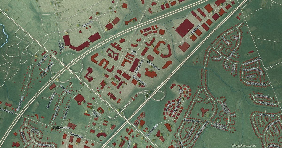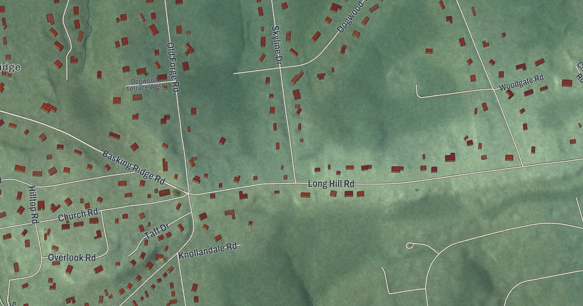
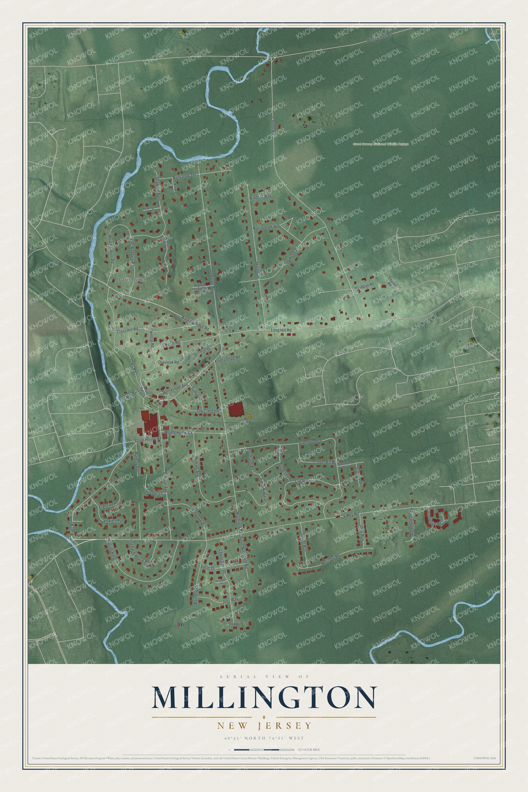
This beautifully detailed map of Millington, New Jersey was created in 2026 using aerial imagery combined with modern topographical, census, street and landmark data. It's a modern aerial view of Millington in Morris County, New Jersey, that combines modern data with a vintage aesthetic. The roads feature printed names, and if you look closely you can find your exact house accurately shown in its correct location.
Explore an aerial view of Millington, New Jersey
On this map you'll find Davis Bridge, Great Swamp National Wildlife Refuge, Valley Road, Basking Ridge Road, Sunnyslope Avenue, Carlton Road, Long Hill Road, Northfield Road, Old Forge Road, River Road, Skyline Drive, Division Avenue, and more. Each red shape is a building, so zoom in on the preview and look for yours.
Millington is a community in Morris County. The Census Bureau counted 3,038 people here in 2020. Millington sits about 2 miles east of Lyons, 3 miles southeast of Basking Ridge and 3 miles southwest of Gillette. The map prints the town name in its title panel, with the coordinates below it.
Take a closer look at the Millington map
Names on this map
These names are printed on this map.
Places: Davis Bridge and Great Swamp National Wildlife Refuge.
Streets and roads: Valley Road, Basking Ridge Road, Sunnyslope Avenue, Carlton Road, Long Hill Road, Northfield Road, Old Forge Road, River Road, Skyline Drive, Division Avenue, Greenwood Drive, Whitebridge Road.
More street names, A to Z
Aaron Drive, Avenue Maria Court, Birchwood Drive, Brookside Drive, Brookside Road, Bungalow Terrace, Charles Road, Church Road, Circle Drive, Clover Hill Road, Cooper Lane, Cross Hill Road, Deer Run, Dogwood Terrace, Dogwood Terrace West, East Rayburn Road, Elliot Road, Fawn Ridge Drive, Francine Place, Heritage Road, Hilltop Road, Indian Run, Joss Way, Karen Dietrich Drive, Knollandale Road, Knoll Court, Leprechaun Drive, Meadowview Road, Midvale Avenue, Nottingham Way, Oaks Road, Old Farm House Road, Old Mill Road, Overlook Road, Poppy Place, Puddingstone Lane, Rainbow Drive, Rolling Hill Drive, Semerad Road, Shamrock Court, Shannon Court, Shawnee Path, South Northfield Road, Stacey Court, Stonehedge Road, Stone House Road, Sunset Place, Taff Drive, The Crescent, Vickie's Place, Waverly Avenue, West Rayburn Road, Windsor Way, Woodgate Road, Woodland Road.
See it on a wall
The Millington map as a framed print. Swipe for more.


Created by KNOWOL in 2026. The buildings are small red shapes, the roads carry their printed names, and shaded relief shows the shape of the land. The title panel reads "AERIAL VIEW OF MILLINGTON, NEW JERSEY" with 40°41' NORTH 74°31' WEST.
It looks right in a kitchen, an office or a den, and it's a gift for anyone who grew up in Millington or moved away. Open the preview and find your street. See sizes and frames for the Millington map.