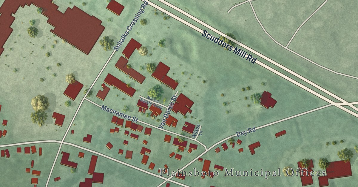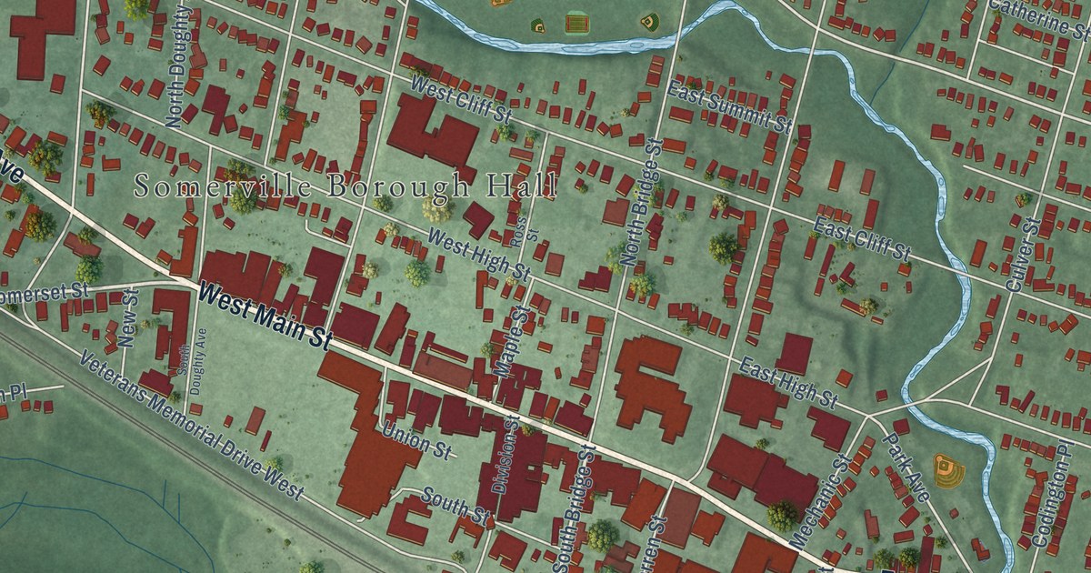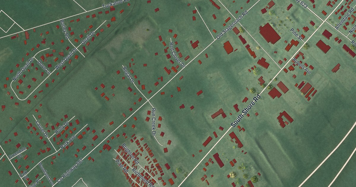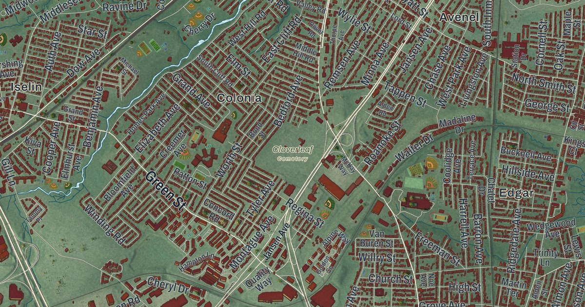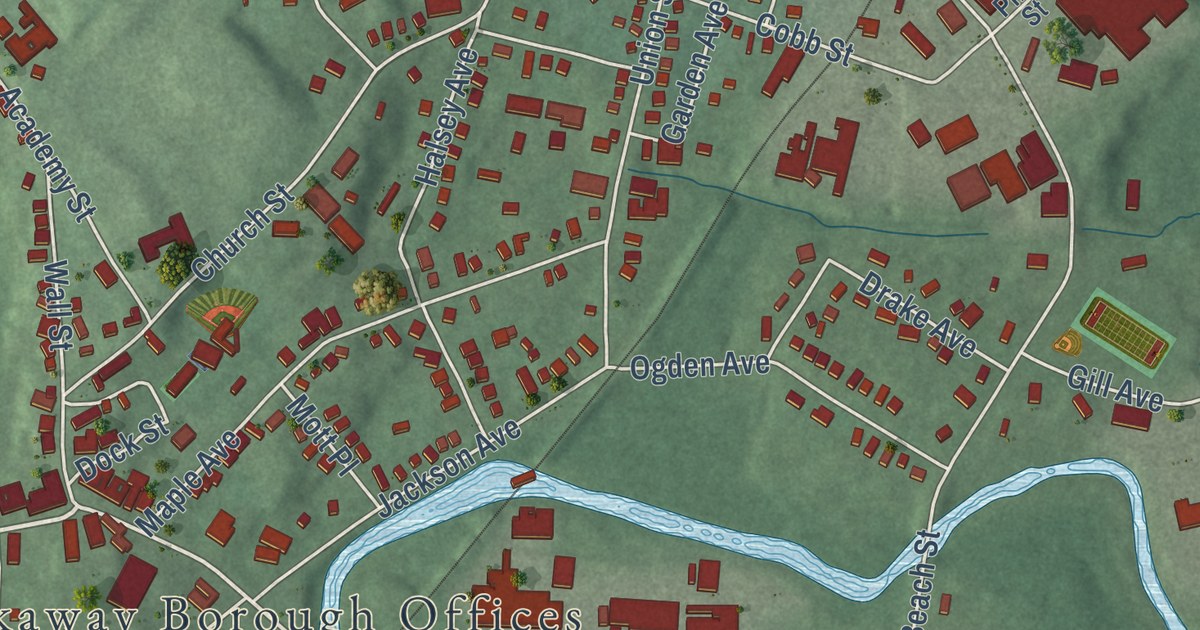
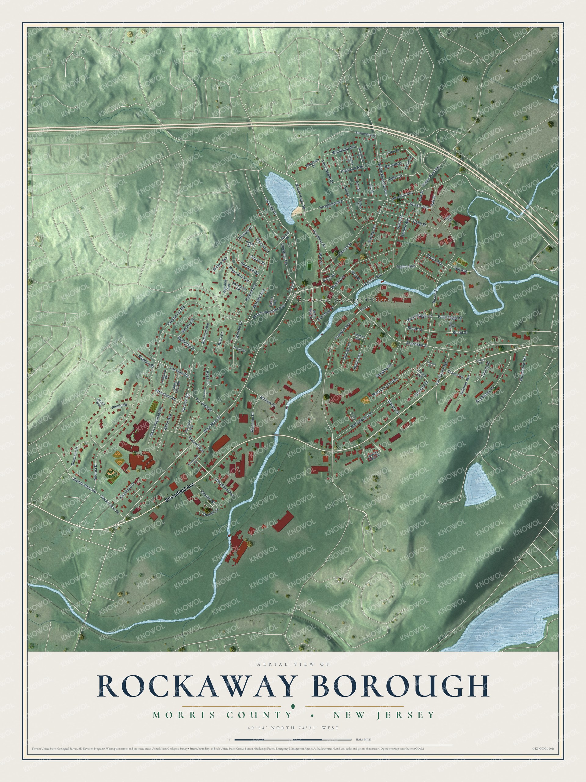
This beautifully detailed map of Rockaway Borough, Morris County, New Jersey was created in 2026 using aerial imagery combined with modern topographical, census, street and landmark data. It’s a one-of-a-kind view of Rockaway Borough that combines accurate data with a vintage aesthetic. The map shows every building in its true location, many of the roads carry their names, and the shaded topographic relief shows the shape of the land.
Explore an aerial view of Rockaway Borough, Morris County, New Jersey
On the map you’ll find Rockaway Borough Offices, along with Bloomfield Avenue, Mount Hope Road, West Main Street, Lakeside Drive, Woodside Avenue, East Main Street, Franklin Avenue, Rockaway Avenue, Mount Pleasant Avenue, Andrea Drive, Crestwood Road, and more. If you look closely you can even find your house accurately drawn in its correct location. Zoom in on the preview to look for yours.
Did You Know?
Parts of the 2003 film The Station Agent were shot in Rockaway. Filming used the railroad tracks, Main Street and the Mill Lane Tavern. Peter Dinklage played the lead role.
Take a closer look at the Rockaway Borough, Morris County map
Names on this map
These names are printed on this map.
Places: Rockaway Borough Offices.
Streets and roads: Bloomfield Avenue, Mount Hope Road, West Main Street, Lakeside Drive, Woodside Avenue, East Main Street, Franklin Avenue, Rockaway Avenue, Mount Pleasant Avenue, Andrea Drive, Crestwood Road, Chestnut Terrace.
More street names, A to Z
Academy Street, Adams Street, Addison Avenue, Adler Court, Ann Street, Arbor Avenue, Baker Street, Barnett Street, Beach Street, Broad Street, Brook Street, Burton Lane, Centennial Drive, Central Avenue, Charles Street, Church Street, Cobb Street, Daniel Lane, David Drive, Dock Street, Dominic Drive, Donna Drive, Douglas Road, Drake Avenue, Duncan Lane, East Flagge Street, East New Street, Easton Avenue, Elm Street, Elycroft Avenue, Far View Drive, Far View Road, Farview Road, Garden Avenue, George Street, Gill Avenue, Green Pond Road, Halsey Avenue, Harrison Avenue, Hemlock Road, Hibernia Avenue, Hickory Place, Highland Avenue, Highview Avenue, Hillside Avenue, Hill Street, Hoagland Avenue, Hyland Avenue, Jackson Avenue, James Court, Jay Street, Jefferson Avenue, John Street, Keller Avenue, Kelly Court, Kelsey Street, Laurelwood Drive, Liberty Avenue, Liberty Place, Lincoln Avenue, Longview Road, Mannino Drive, Maple Avenue, Maplewood Drive, Marshal Avenue, McKinley Drive, Meadowview Avenue, Mill Lane, Monroe Place, Mott Place, Mountain Road, Nichols Drive, Oak Street, Ogden Avenue, Orchard Street, Overlook Drive, Phillip Drive, Pine Street, Pleasant Place, Rockwood Drive, Rose Lane, Seminole Avenue, Seward Street, Short Street, Stephen Place, Stickle Avenue, Summit Road, Swede Mine Road, Swedes Mine Road, Sweetbriar Road, Sylvan Way, Union Street, Valley View Road, Van Duyne Avenue, Wall Street, Walnut Place, West Flagge Street, West Lincoln Avenue, West Longview Road, West New Street, White Birch Drive, White Meadow Avenue, William Drive, Willow Avenue, Woodland Avenue, Woods Edge Drive, Woodside Drive, Woodstone Road.
See it on a wall
The Rockaway Borough, Morris County map as an 18 x 24 inch print in a black frame.

This beautifully detailed map of Rockaway Borough, Morris County makes an attractive addition to your office, library, or den, and it can even be used to teach children the geography and history of the area. It also makes a great gift for anyone who grew up in Rockaway Borough or moved away. When you’re done exploring, click here to get your copy of the Rockaway Borough, Morris County map.