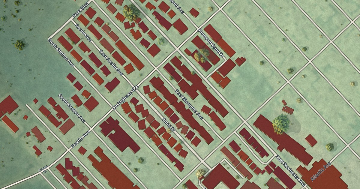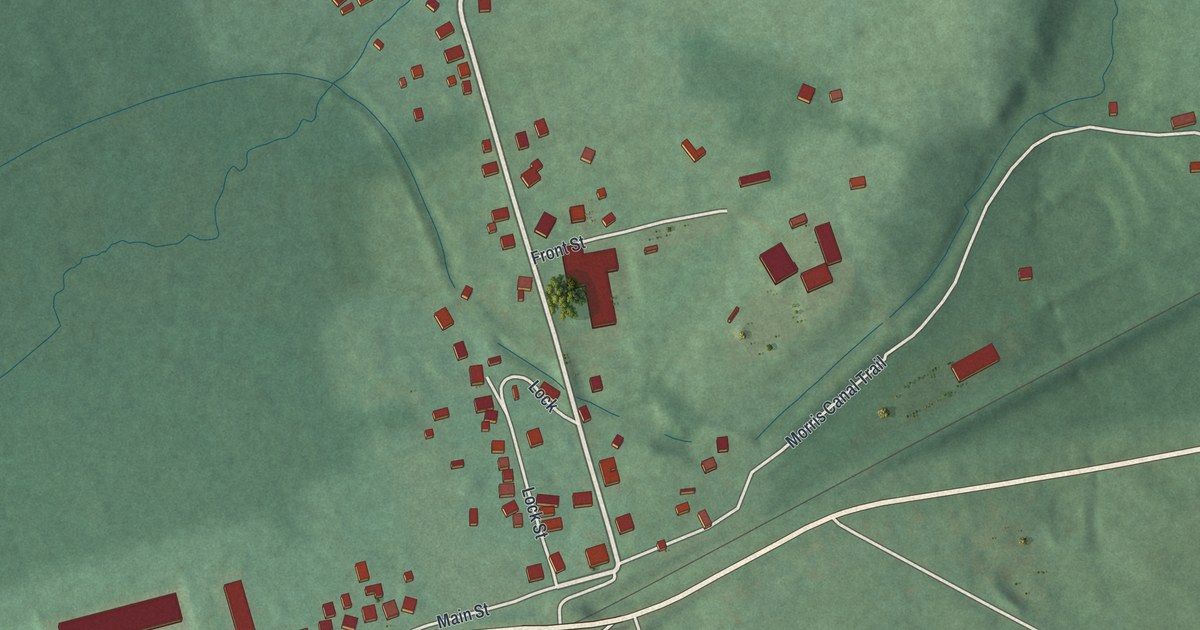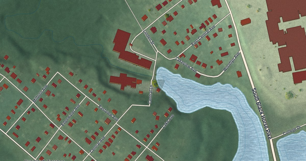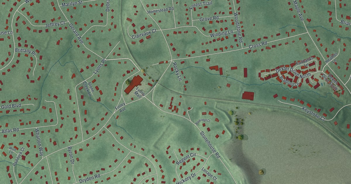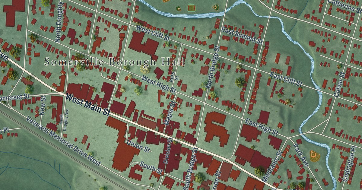
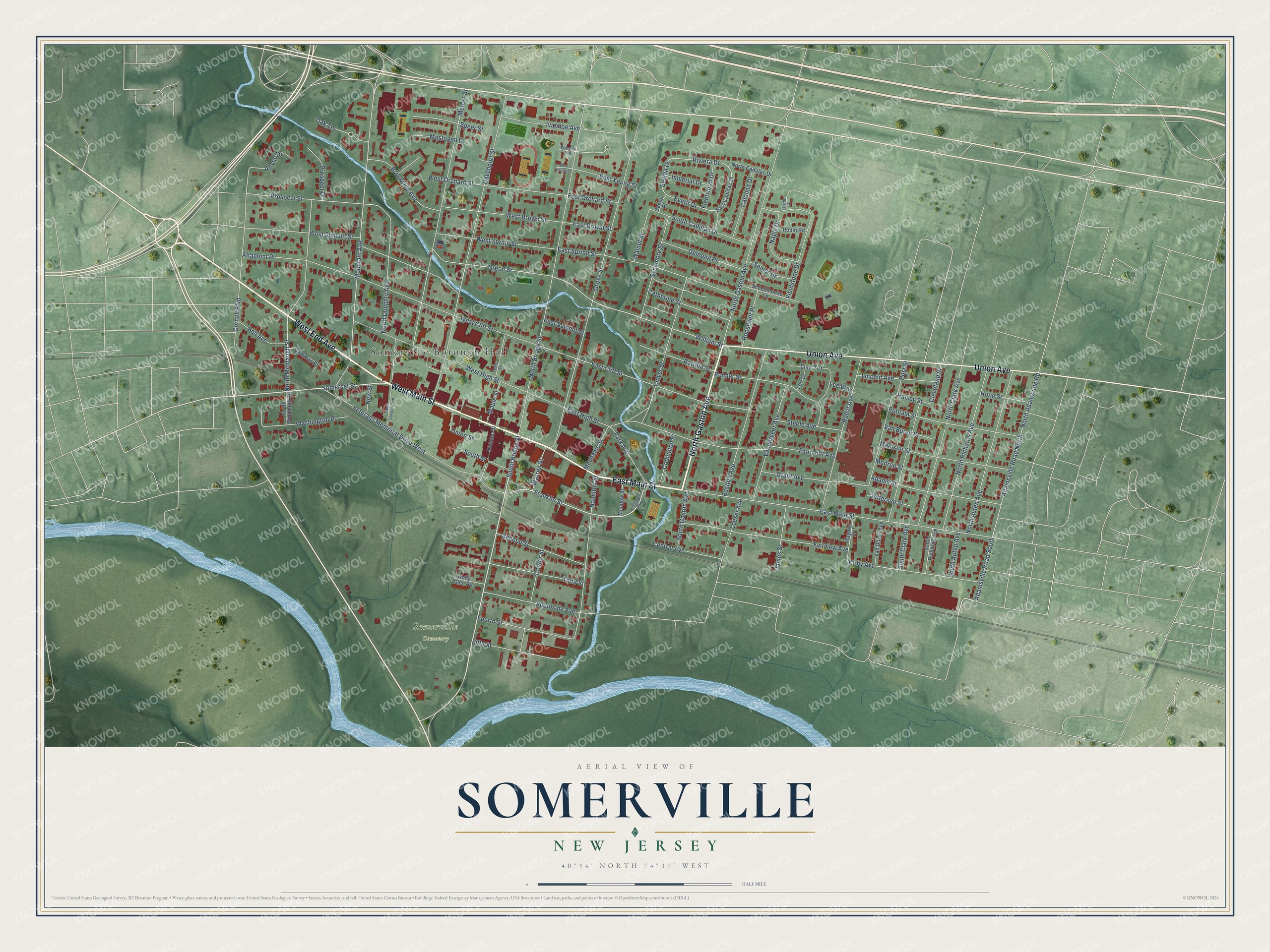
This beautifully detailed map of Somerville, New Jersey was created in 2026 using aerial imagery combined with modern topographical, census, street and landmark data. It’s a one-of-a-kind view of Somerville that combines accurate data with a vintage aesthetic. The map shows every building in its true location, many of the roads carry their names, and the shaded topographic relief shows the shape of the land.
Explore an aerial view of Somerville, New Jersey
On the map you’ll find Somerville Borough Hall, along with End Avenue, Main Street, Gaston Avenue, Union Avenue, and more. If you look closely you can even find your house accurately drawn in its correct location. Zoom in on the preview to look for yours.
Did You Know?
Bicycle shop owner Fred Kugler started the Tour of Somerville in 1940. He wanted to show off his son Furman, a national cycling champion. Furman won the first men’s race, and his sister Mildred won the women’s. The 50 mile race is now the oldest competitive bicycle race in the country.
Take a closer look at the Somerville map
Names on this map
These names are printed on this map.
Places: Somerville Borough Hall and Somerville Cemetery.
Streets and roads: West End Avenue, East Main Street, North Gaston Avenue, West Main Street, Union Avenue, South Bridge Street, Somerset Street, Franklin Street, William Street, Park Avenue, Everit Drive, Adamsville Road South.
More street names, A to Z
Adams Street, Adamsville Road North, Altamont Place, Arlyne Drive, Bartine Street, Bell Avenue, Brookside Avenue, Camman Place, Catalina Drive, Catherine Street, Center Place, Center Street, Central Avenue, Cleveland Street, Codington Place, Cornell Boulevard, Culver Street, Davenport Street, Demond Place, Division Street, East Brown Street, East Cadillac Drive, East Cliff Street, Eastern Avenue, East High Street, East Orchard Street, East Spring Street, East Summit Street, East Young Street, Fairmont Avenue, Fairview Avenue, Fieldstone Drive, Fifth Street, Fleetwood Drive, Fourth Street, Grant Avenue, Green Street, Grimm Drive, Grove Street, Halsey Street, Hamilton Street, Haynes Street, Holly Glen Road, Hope Street, Imperial Drive, Ivanhoe Avenue, James Street, Jefferson Street, Kirby Avenue, Lee Way, Lincoln Avenue, Lisa Terrace, Loeser Avenue, Lori Drive, Madison Street, Maple Street, Mastogen Drive, Meadow Street, Mechanic Street, Mercer Street, Monroe Street, Mountain Avenue, Nagle Drive, New Street, North Adamsville Road, North Auten Avenue, North Bridge Street, North Cadillac Drive, North Clark Avenue, North Doughty Avenue, North Middaugh Street, North Richards Avenue, Oak Terrace, Post Street, Prospect Drive, Prospect Street, Putnam Street, Rehill Avenue, Reimer Street, Riviera Drive, Robin Road, Roosevelt Place, Ross Street, Schoolhouse Lane, Second Street, Seville Drive, Somer Drive, South Auten Avenue, South Cadillac Drive, South Clark Avenue, South Doughty Avenue, South Gaston Avenue, South Middaugh Street, South Richards Avenue, Southside Avenue, South Street, Speer Street, Steele Avenue, Sycamore Street, Third Street, Union Street, Van Buren Street, Vanderveer Avenue, Vanderveer Parkway, Van Doren Avenue, Veterans Memorial Drive West, Walnut Street, Warren Street, Washington Place, West Brown Street, West Cliff Street, West High Street, West Orchard Street, West Spring Street, West Summit Street, West Young Street, Wilmer Avenue.
See it on a wall
The Somerville map as an 18 x 24 inch print in a black frame.

This beautifully detailed map of Somerville makes an attractive addition to your office, library, or den, and it can even be used to teach children the geography and history of the area. It also makes a great gift for anyone who grew up in Somerville or moved away. When you’re done exploring, click here to get your copy of the Somerville map.