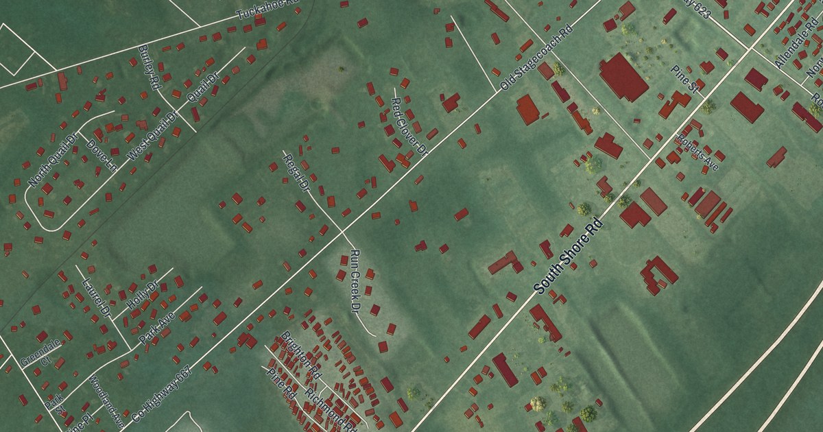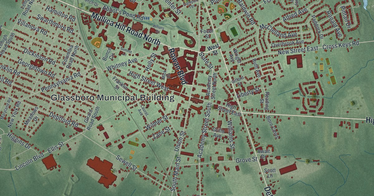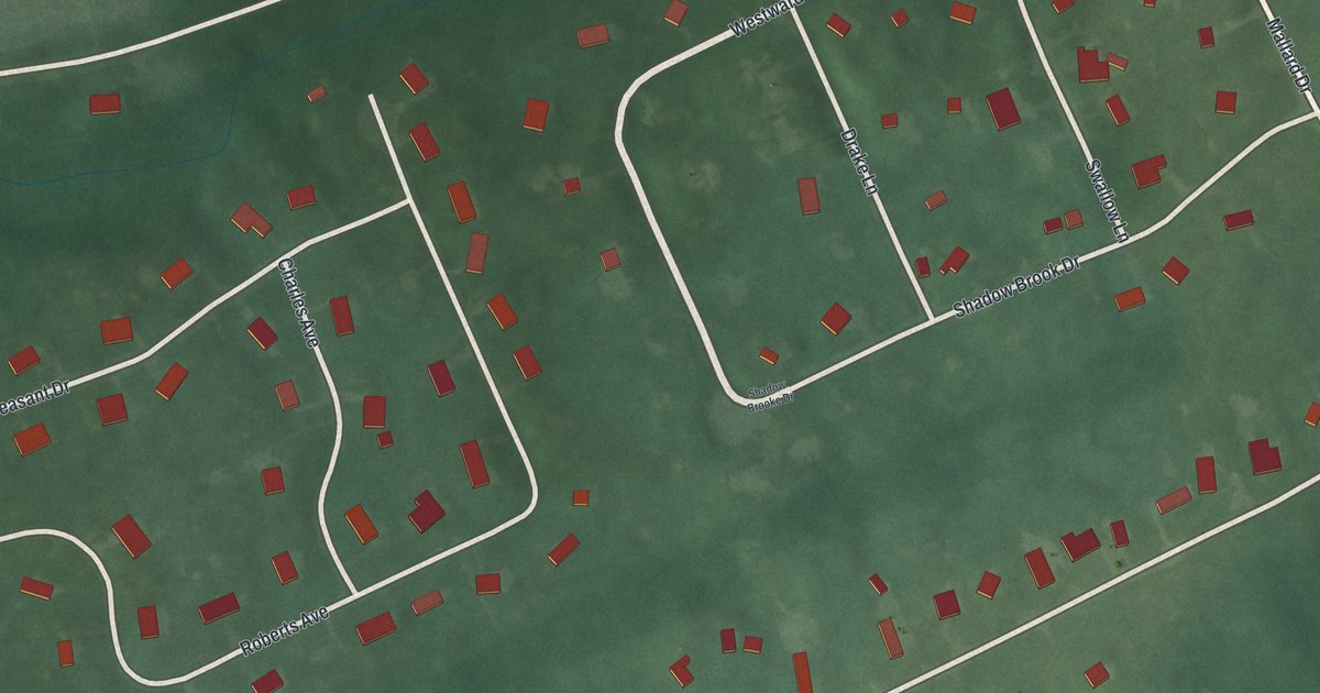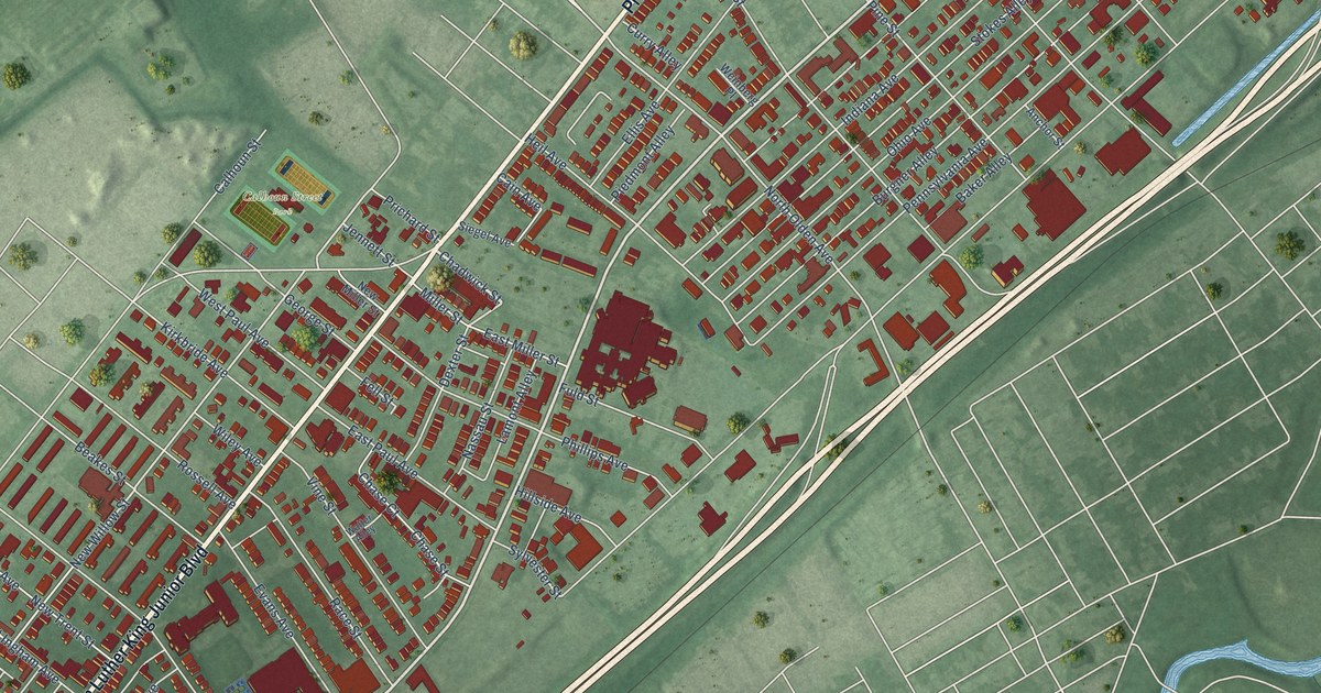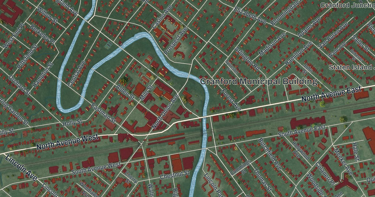
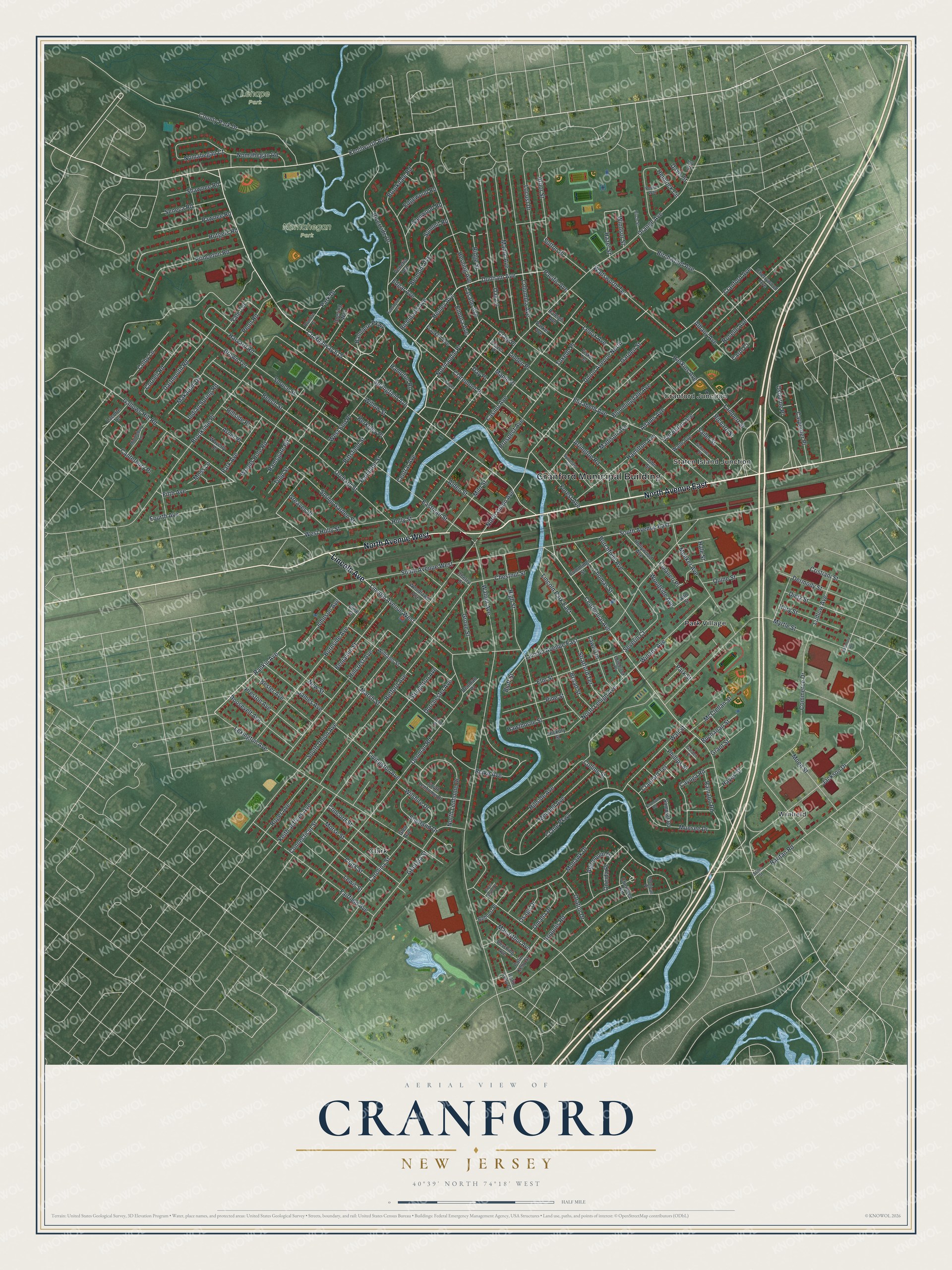
This beautifully detailed map of Cranford, New Jersey was created in 2026 using aerial imagery combined with modern topographical, census, street and landmark data. It’s a one-of-a-kind view of Cranford that combines accurate data with a vintage aesthetic. The map shows every building in its true location, many of the roads carry their names, and the shaded topographic relief shows the shape of the land.
Explore an aerial view of Cranford, New Jersey
On the map you’ll find Cranford Municipal Building, Lenape Park, Nomahegan Park, Clark, Cranford Junction, Park Village, Staten Island Junction, and Winfield, along with North Avenue East, North Avenue West, Lincoln Avenue, Springfield Avenue, and more. If you look closely you can even find your house accurately drawn in its correct location. Zoom in on the preview to look for yours.
Did You Know?
Sheriff James E. Warner, honored with a plaza at the Cranford train station, fought to clean up the Rahway River. He battled paper makers who dumped waste into it. Charles Hansel helped found the county parks commission. In the 1920s it preserved the riverbanks as the Rahway River Parkway.
Take a closer look at the Cranford map
Names on this map
These names are printed on this map.
Places: Cranford Municipal Building, Lenape Park, Nomahegan Park, Clark, Cranford Junction, Park Village, Staten Island Junction and Winfield.
Streets and roads: North Avenue East, North Avenue West, Lincoln Avenue, Springfield Avenue, Riverside Drive, Rankin Avenue, Henley Avenue, County Highway 615, Normandie Place, Dunham Avenue, Gallows Hill Road, Belmont Avenue.
More street names, A to Z
Adams Avenue, Albany Avenue, Alden Street, Algonquin Drive, Ann Street, Arbor Street, Arlington Road, Arnet Place, Balmiere Parkway, Baltimore Avenue, Bargos Place, Beech Street, Behnert Place, Benjamin Street, Berkeley Place, Besler Avenue, Birch Street, Birchwood Avenue, Blake Avenue, Bloomingdale Avenue, Bluff Street, Broad Street, Brookdale Road, Brookside Place, Brown Terrace, Buchanan Street, Burchfield Avenue, Burnside Avenue, Canterbury Place, Carol Court, Carolina Street, Carpenter Place, Casino Avenue, Cayuga Road, Centennial Avenue, Central Avenue, Cherokee Road, Cherry Street, Cherrywood Avenue, Chestnut Street, Claremont Place, Clark Street, Colaneri Place, Colby Lane, Colin Kelly Court, Colin Kelly Street, Collins Street, Columbia Avenue, Commerce Drive, Concord Street, Connecticut Street, Cornell Road, County Park Drive, Craig Place, Crane Parkway, Cranford Avenue, Cranford Terrace, Cristiani Street, Culin Drive, Cummings Street, Dartmouth Road, Davis Street, Day Place, Denman Place, Denman Road, Dermody Street, Dietz Street, Doering Way, Dorchester Avenue, Eastman Street, Edgar Avenue, Edgebrook Place, Edgewood Road, Elise Street, Elizabeth Avenue, Elmora Avenue, Elm Street, Fairfield Avenue, Fifth Avenue, Fiske Terrace, Forest Avenue, Fourth Avenue, Franklin Avenue, Frazer Place, Garden Place, Garden Street, Georgia Street, Glen Avenue, Glenwood Road, Grant Street, Greaves Place, Grove Street, Hale Street, Hamilton Avenue, Hampton Road, Hampton Street, Harvard Road, Haskins Avenue, Hawthorne Street, Hayes Street, Hazel Street, Hemlock Circle, Herning Avenue, Hickory Street, High Street, Hillcrest Avenue, Hillside Avenue, Hillside Place, Holly Street, Hollywood Avenue, Hory Street, Indian Spring Road, Iroquois Road, Ivy Street, Jackson Drive, James Avenue, Johnson Avenue, John Street, Keith Jeffries Avenue, Kenilworth Boulevard, Kensington Avenue, Lacorte Terrace, Lambert Street, Lasalle Avenue, Lawn Terrace, Lenox Avenue, Lewis Street, Lexington Avenue, Lincoln Avenue East, Lincoln Avenue West, Lincoln Park East, Linden Place, Livingston Avenue, Locust Drive, Ludlow Avenue, Macarthur Avenue, Madison Avenue, Makatom Drive, Manor Avenue, Maple Place, Marsh Street, McClellan Street, Meeker Avenue, Mendell Avenue, Middlebury Lane, Miln Street, Moen Street, Mohawk Drive, Mohican Place, Morse Street, Moss Lane, Munsee Drive, Myrtle Street, New Street, Nomahegan Court, Nomahegan Road, North Lehigh Avenue, North Lenhome Drive, North Union Avenue, Oak Lane, Omaha Drive, Oneida Place, Orange Avenue, Oraton Drive, Orchard Street, Osage Drive, Osborne Place, Pacific Avenue, Park Avenue, Park Drive, Parker Avenue, Park Street, Pawnee Road, Penn Road, Pershing Avenue, Phillips Street, Pine Street, Pittsfield Street, Poplar Way, Preston Avenue, Princeton Road, Prospect Avenue, Quine Street, Raleigh Avenue, Ramapo Road, Ramsgate Road, Raritan Road, Retford Avenue, Richard Street, Richmond Avenue, Ridge Street, Roger Avenue, Roger Norton Place, Romore Place, Roosevelt Avenue, Roselle Avenue, Rutgers Road, Sailer Street, Samoset Road, Scherrer Street, Seneca Road, Severin Court, Shawnee Road, Shetland Drive, South Avenue East, South Avenue West, South Lenhome Drive, South Union Avenue, Spring Garden Street, Spruce Street, Stiles Street, Stoughton Avenue, Stratford Terrace, Summit Road, Sutton Place, Sylvester Street, Thomas Street, Tulip Street, Tuxedo Place, Union Avenue North, Van Buren Avenue, Venetia Avenue, Wade Avenue, Wadsworth Terrace, Wall Street, Walnut Avenue, Waverly Place, West End Place, West Holly Street, Williams Street, Willow Street, Wilshire Drive, Winans Avenue, Windsor Street, Woodlawn Avenue, Woods Hole Road, Woodside Avenue, Yale Terrace, Yarmouth Road.
See it on a wall
The Cranford map as an 18 x 24 inch print in a black frame.

This beautifully detailed map of Cranford makes an attractive addition to your office, library, or den, and it can even be used to teach children the geography and history of the area. It also makes a great gift for anyone with Cranford roots. When you’re done exploring, click here to get your copy of the Cranford map.