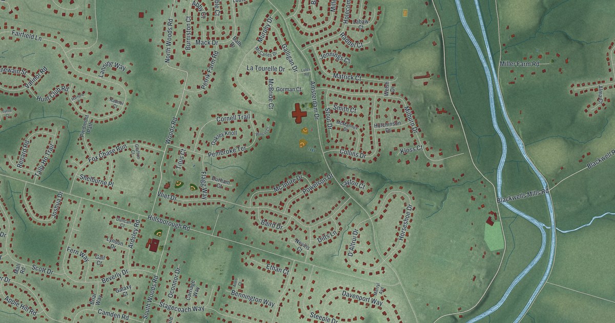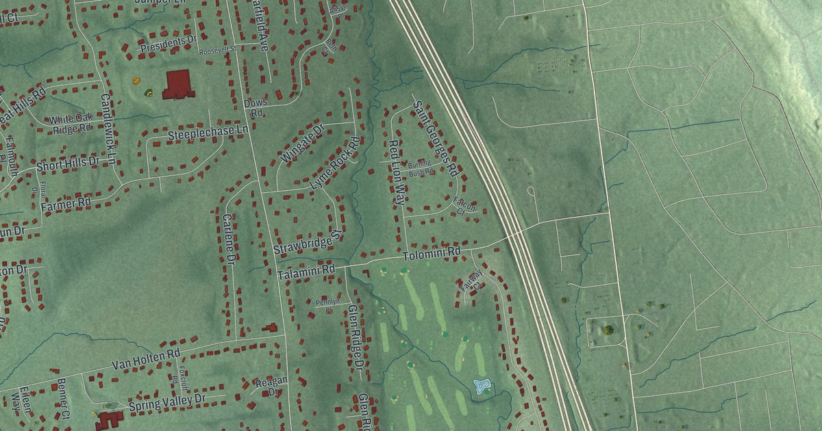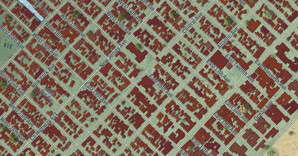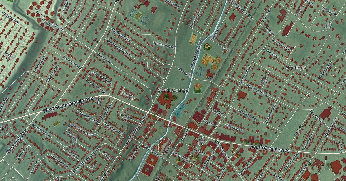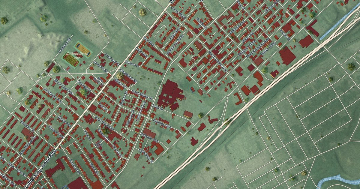
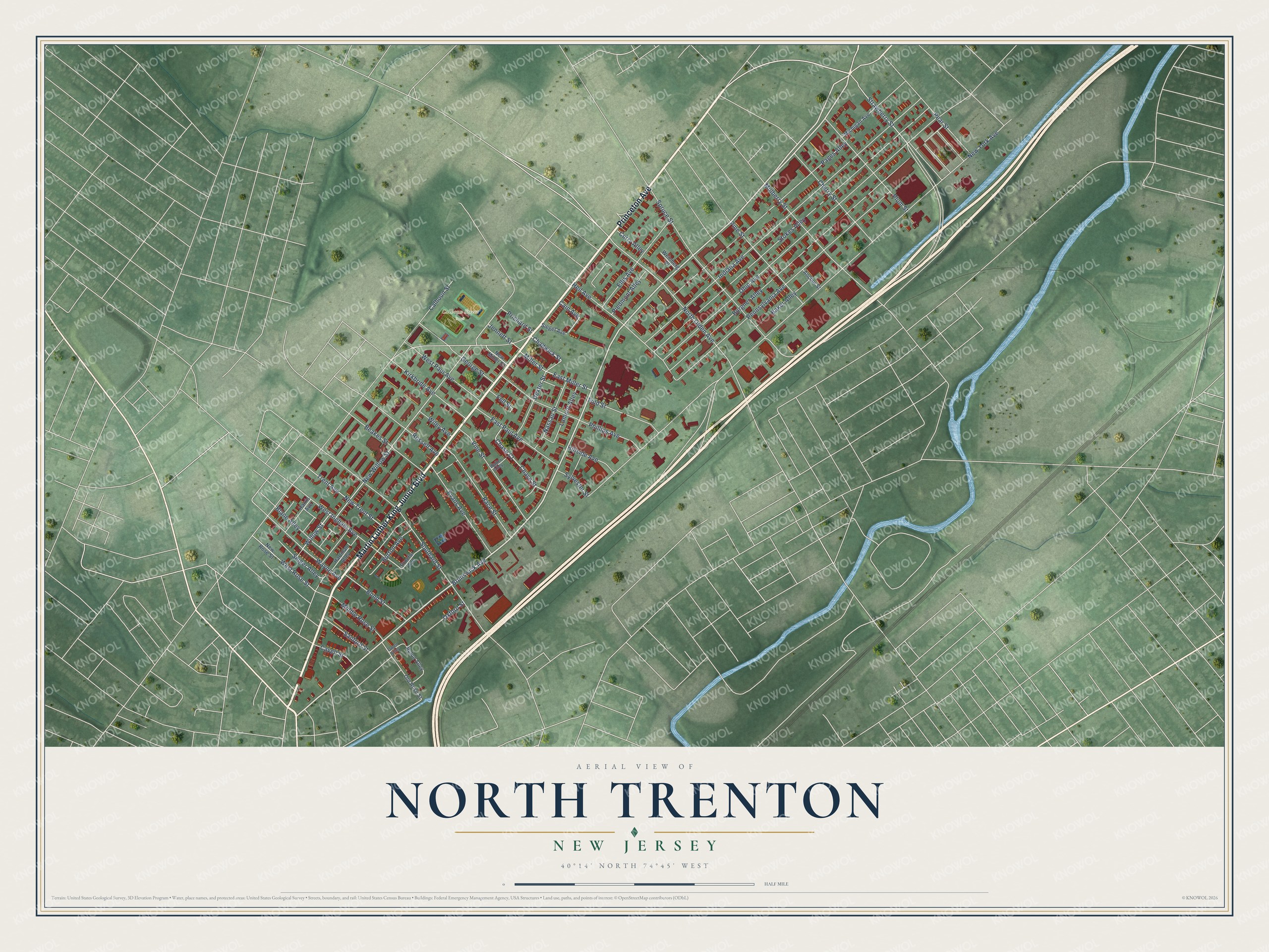
This beautifully detailed map of North Trenton, New Jersey was created in 2026 using aerial imagery combined with modern topographical, census, street and landmark data. It’s a one-of-a-kind view of North Trenton that combines accurate data with a vintage aesthetic. The map shows every building in its true location, many of the roads carry their names, and the shaded topographic relief shows the shape of the land.
Explore an aerial view of North Trenton, New Jersey
On the map you’ll find Calhoun Street Park, along with Princeton Avenue, Martin Luther King Junior Boulevard, Brunswick Avenue, Chadwick Street, New Willow Street, Jennett Street, North Olden Avenue, Willow Street, New York Avenue, Ohio Avenue, Stokes Alley, and more. If you look closely you can even find your house accurately drawn in its correct location. Zoom in on the preview to look for yours.
Did You Know?
From Internet Archive: "In part it is a fact, that Baptists in the entire state were concerned to have a Baptist church in North Trenton."
North Trenton is a place in Mercer County.
Take a closer look at the North Trenton map
Names on this map
These names are printed on this map.
Places: Calhoun Street Park.
Streets and roads: Princeton Avenue, Martin Luther King Junior Boulevard, Brunswick Avenue, Chadwick Street, New Willow Street, Jennett Street, North Olden Avenue, Willow Street, New York Avenue, Ohio Avenue, Stokes Alley, Indiana Avenue.
More street names, A to Z
Anchor Street, Baker Alley, Beakes Street, Blane Alley, Bond Street, Burgner Alley, Burton Avenue, Cain Avenue, Calhoun Street, Cavell Street, Chase Court, Chase Street, Cherry Street, Curry Alley, Dexter Street, East Miller Street, East Paul Avenue, Ellis Avenue, Evans Avenue, Fell Street, Fuld Street, George Street, Harris Avenue, Hartman Alley, Heil Avenue, Hillside Avenue, Kirkbride Avenue, Lamont Alley, Michigan Avenue, Middle Rose Street, Miller Street, Mulberry Street, Nassau Street, New Miller Street, New Rose Street, New Trent Street, Old Rose Street, Owen Alley, Oxford Street, Pages Alley, Pear Street, Pennsylvania Avenue, Phillips Avenue, Piedmont Alley, Pine Street, Plum Street, Prichard Street, Proctor Avenue, Race Street, Rossell Avenue, Rulon Alley, Sanford Street, Seiger Alley, Siegel Avenue, Southard Street, Spruce Street, Strawberry Street, Sylvester Street, Trent Avenue, Vine Street, Walter Alley, Wayne Avenue, Weinberg Place, West Ingham Avenue, West Paul Avenue, West Rose Street, Wiley Avenue.
See it on a wall
The North Trenton map as a framed print. Swipe for more.


This beautifully detailed map of North Trenton makes an attractive addition to your office, library, or den, and it can even be used to teach children the geography and history of the area. It also makes a great gift for anyone who grew up in North Trenton or moved away. When you’re done exploring, click here to get your copy of the North Trenton map.