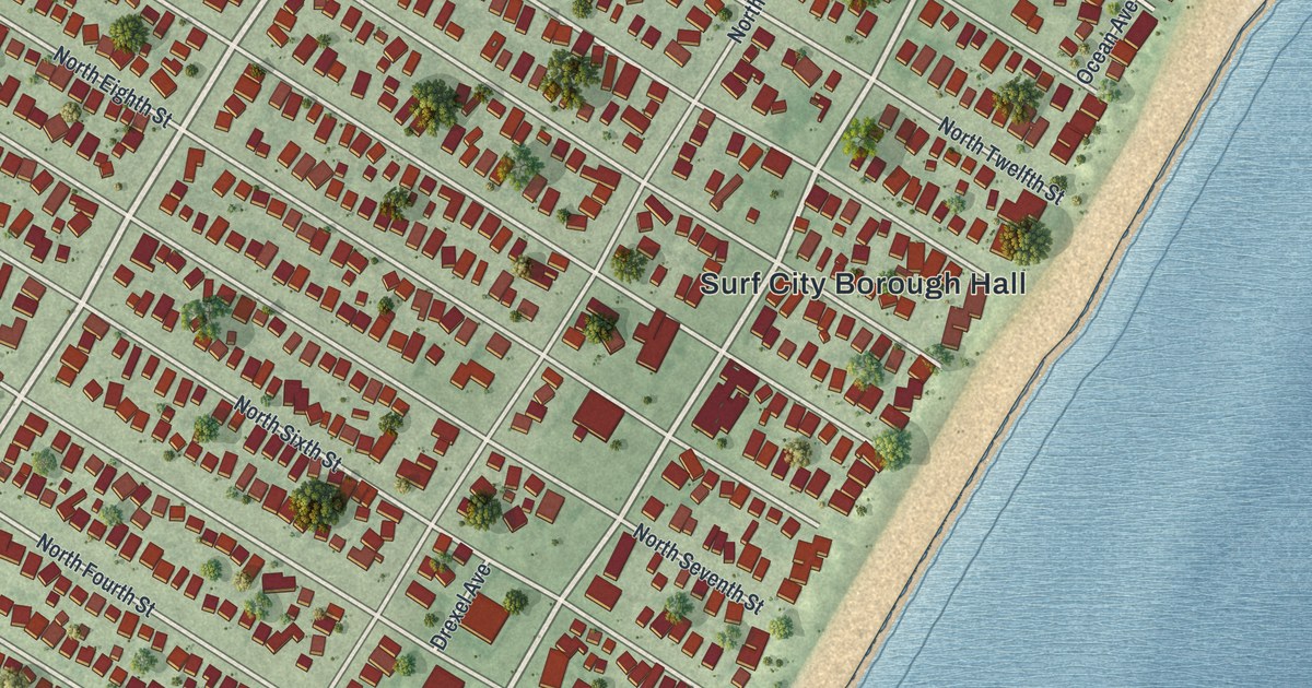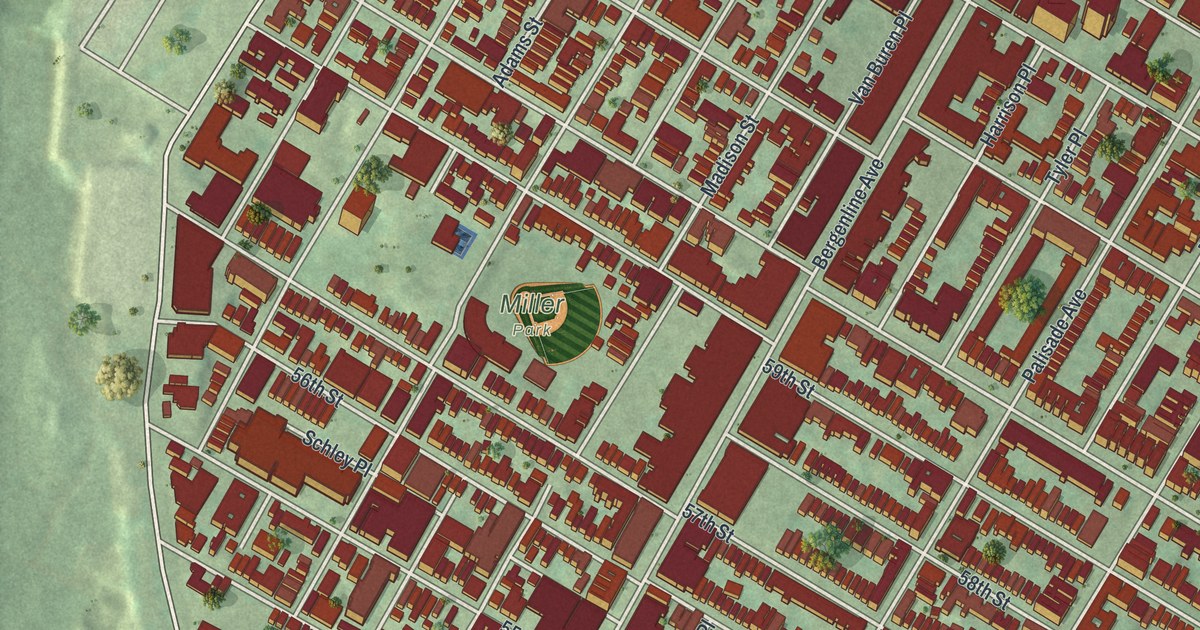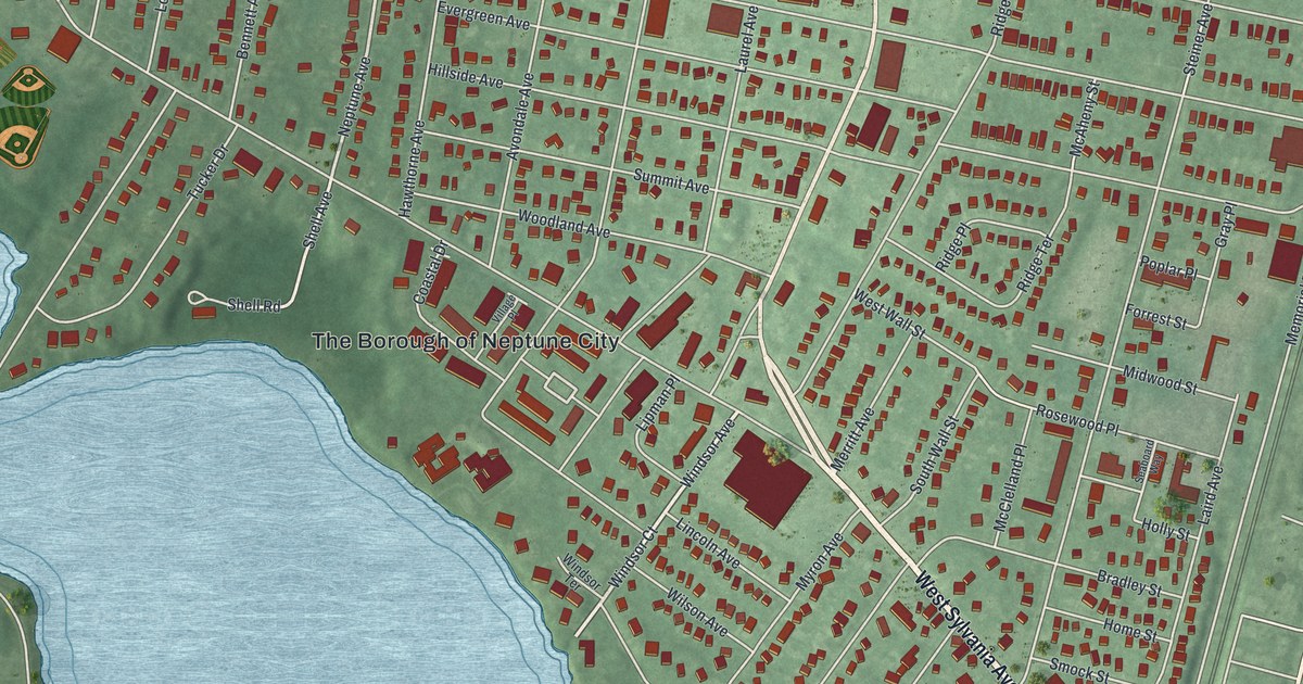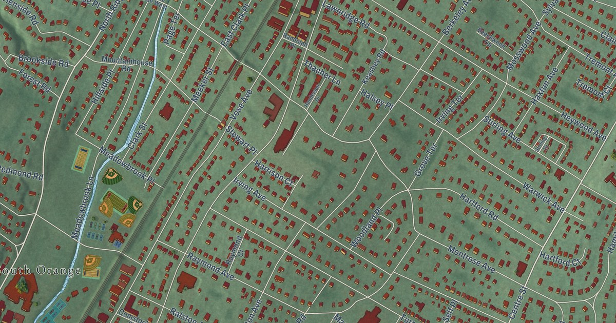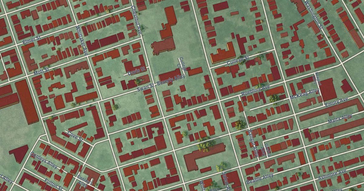
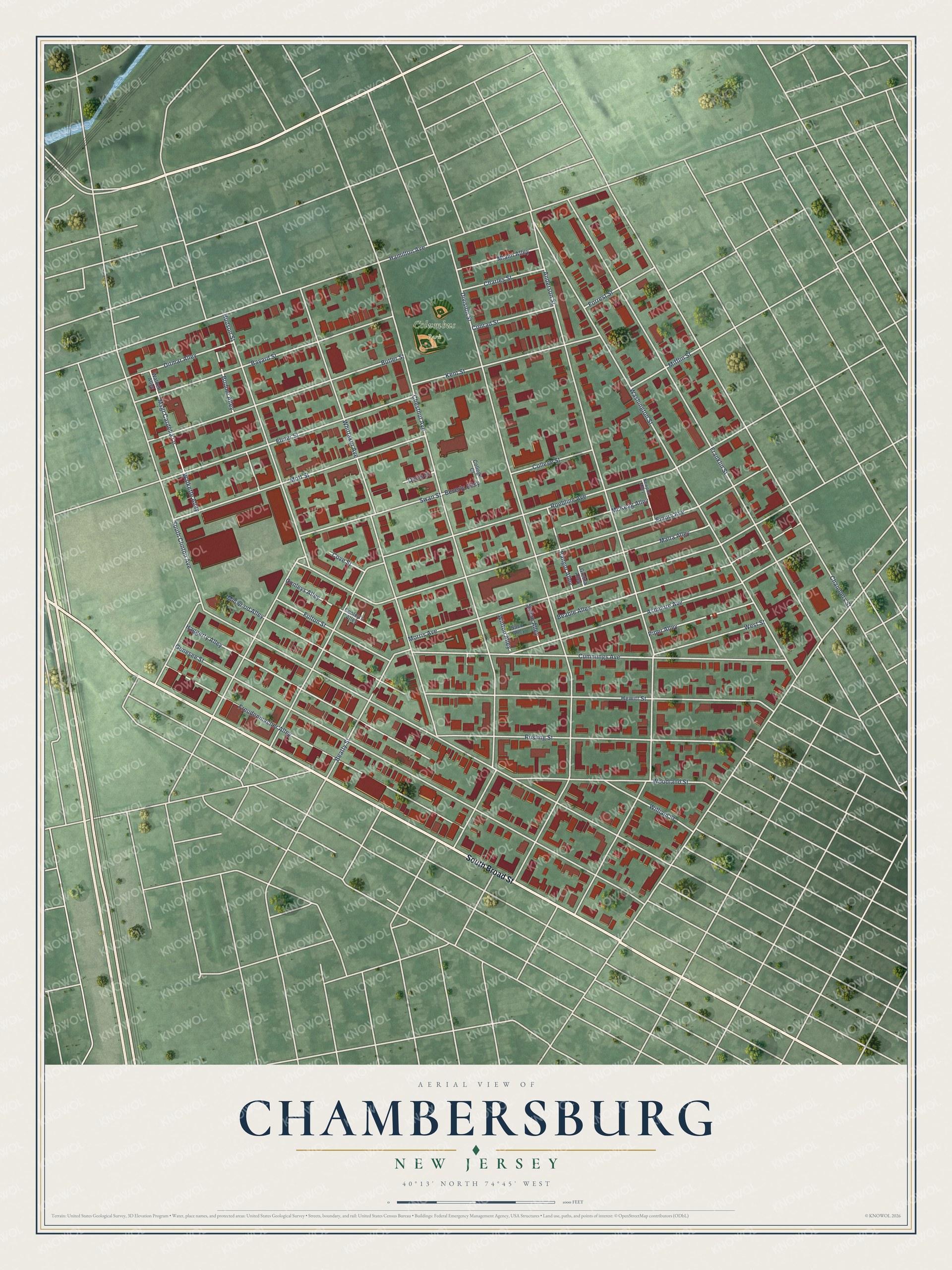
This beautifully detailed map of Chambersburg, New Jersey was created in 2026 using aerial imagery combined with modern topographical, census, street and landmark data. It’s a one-of-a-kind view of Chambersburg that combines accurate data with a vintage aesthetic. The map shows every building in its true location, many of the roads carry their names, and the shaded topographic relief shows the shape of the land.
Explore an aerial view of Chambersburg, New Jersey
On the map you’ll find Columbus Park, along with South Broad Street, South Clinton Avenue, Anderson Street, Division Street, Chestnut Avenue, Roebling Avenue, Genesee Street, Washington Street, Hamilton Avenue, Franklin Street, Emory Avenue, and more. If you look closely you can even find your house accurately drawn in its correct location. Zoom in on the preview to look for yours.
Did You Know?
The neighborhood was named for Robert Chambers, one of its founders. Local Chambers Street honors his family. He died in 1865, a few years before the area became its own borough in 1872. Chambersburg stood as an independent town until Trenton annexed it on May 1, 1888.
Chambersburg is a place in Mercer County.
Take a closer look at the Chambersburg map
Names on this map
These names are printed on this map.
Places: Columbus Park.
Streets and roads: South Broad Street, South Clinton Avenue, Anderson Street, Division Street, Chestnut Avenue, Roebling Avenue, Genesee Street, Washington Street, Hamilton Avenue, Franklin Street, Emory Avenue, Whittaker Avenue.
More street names, A to Z
Ashmore Avenue, Bangor Alley, Bayard Street, Beable Alley, Beatty Street, Beverly Alley, Bodine Alley, Butler Street, Chambers Street, Charles Street, College Court, College Street, Conley's Alley, Conleys Alley, Conrad Street, Cove Street, Cummings Avenue, Davis Street, Ditmar Alley, Elmer Street, Forrest Street, Freudenmacher Alley, Fulton Street, Gretna Alley, Haggerty Alley, Hewitt Street, Hudson Street, Kent Street, Malta Alley, McKeag Alley, Miami Alley, Midwood Alley, Mifflin Street, Morris Avenue, Mott Street, Msgr Cardelia Lane, Newport Alley, Piper Alley, Rusling Street, Saco Alley, Salem Alley, Swan Street, Walkett Alley, Walkette Alley, West Street, William Street, Winton Alley, Woodland Street.
See it on a wall
The Chambersburg map as a framed print. Swipe for more.


This beautifully detailed map of Chambersburg makes an attractive addition to your office, library, or den, and it can even be used to teach children the geography and history of the area. It also makes a great gift for anyone who grew up in Chambersburg or moved away. When you’re done exploring, click here to get your copy of the Chambersburg map.