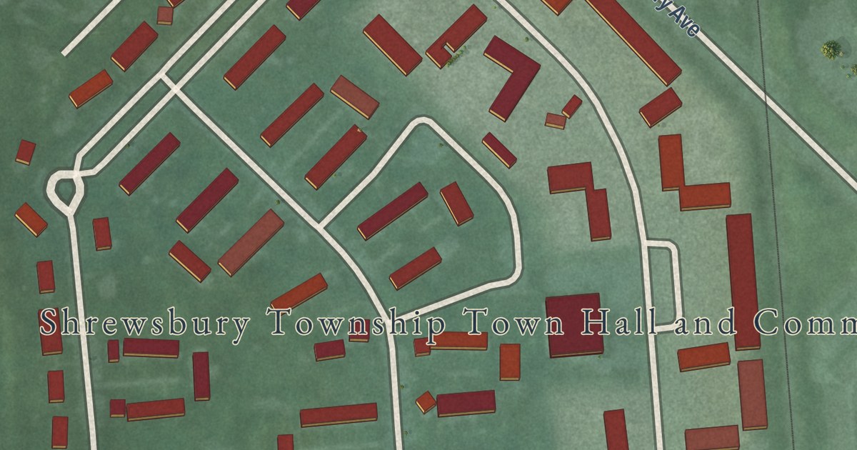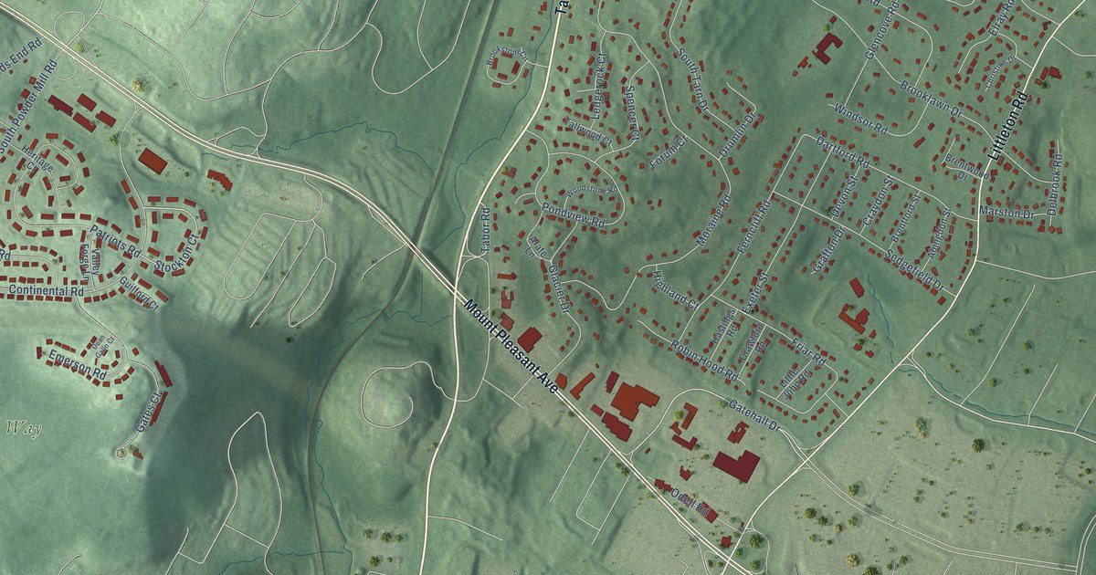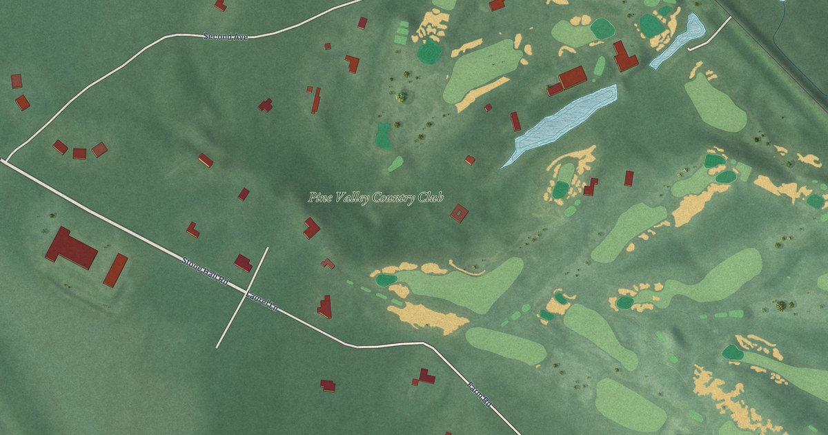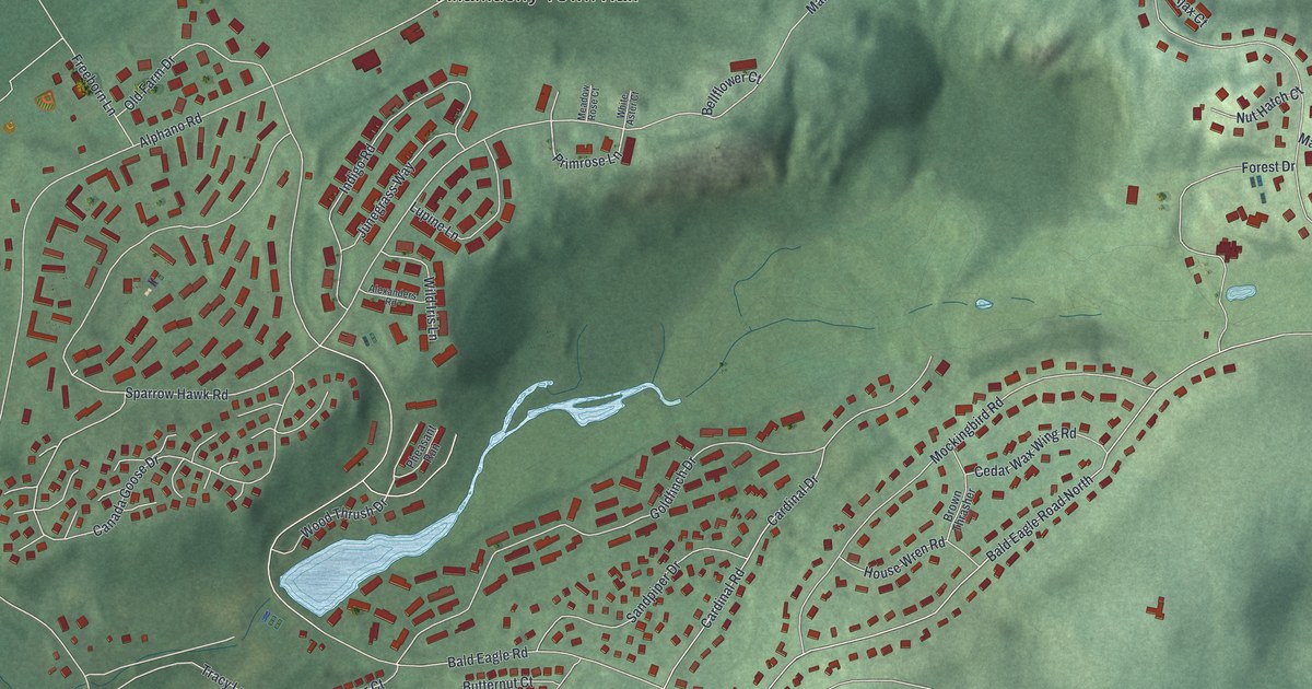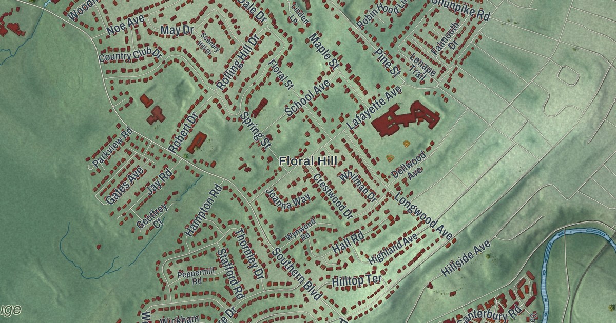
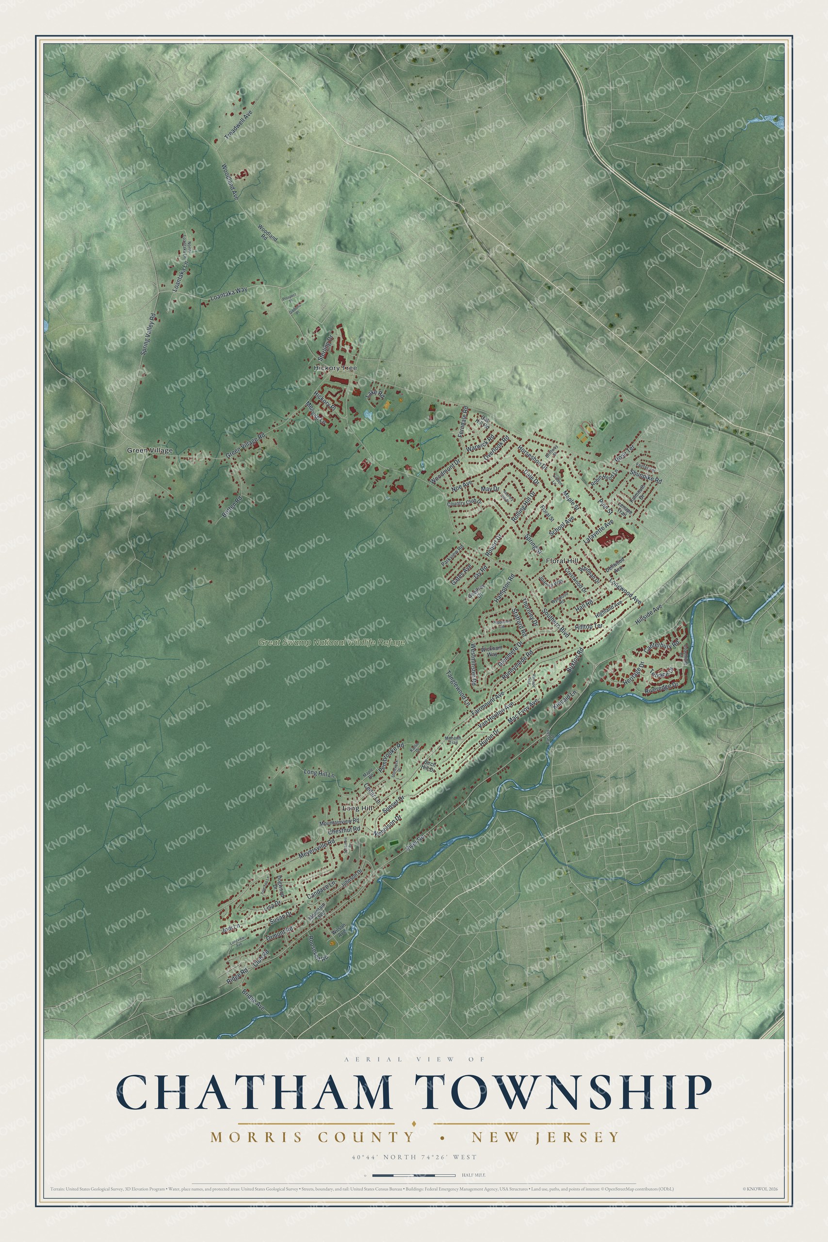
This beautifully detailed map of Chatham, Morris County, New Jersey was created in 2026 using aerial imagery combined with modern topographical, census, street and landmark data. It’s a one-of-a-kind view of Chatham that combines accurate data with a vintage aesthetic. The map shows every building in its true location, many of the roads carry their names, and the shaded topographic relief shows the shape of the land.
Explore an aerial view of Chatham, Morris County, New Jersey
On the map you’ll find Great Swamp National Wildlife Refuge, Floral Hill, Green Village, Hickory Tree, and Long Hill, along with River Road, Green Village Road, Southern Boulevard, Meyersville Road, Shunpike Road, Fairmount Avenue, Lafayette Avenue, and more. If you look closely you can even find your house accurately drawn in its correct location. Zoom in on the preview to look for yours.
Take a closer look at the Chatham, Morris County map
Names on this map
These names are printed on this map.
Places: Great Swamp National Wildlife Refuge, Hickory Tree, Floral Hill, Long Hill and Green Village.
Streets and roads: Loantaka Way, River Road, Shunpike Road, Southern Boulevard, Fairmount Avenue, Green Village Road, Meyersville Road, Lafayette Avenue, Long Hill Lane, Van Houton Avenue, Dale Drive, Rolling Hill Drive.
More street names, A to Z
Birch Hill Drive, Bridge Avenue, Britten Road, Buxton Road, Candace Lane, Canterbury Road, Cedar Lane, Chestnut Road, Club Road, Coachlight Drive, Country Club Drive, Crestwood Drive, Dellwood Avenue, Dogwood Drive, Driftway Street, Fairfax Terrace, Falmouth Drive, Ferndale Road, Floral Street, Gates Avenue, Geoffrey Court, Gibbons Place, Glenmere Drive, Hall Road, Hampton Road, Heritage Drive, Hickory Place, Highland Avenue, Hillside Avenue, Hilltop Terrace, Horseshoe Drive, Huron Drive, Jay Road, Joanna Way, Jodi Lane, Johnson Drive, Karlin Drive, Kincaid Lane, Lake Road, Lenape Trail, Linden Lane, Lisa Drive, Loantaka Lane, Longview Avenue, Longwood Avenue, Mac Evoy Avenue, Maple Road, Maple Street, May Drive, Melrose Lane, Mohawk Trail, Mountain Avenue, Mountainview Road, Nicholson Drive, Noe Avenue, North Loantaka Lane, Oak Hill Road, Ormont Road, Overlook Road, Parkview Road, Passaic Street, Pembrooke Road, Peppermill Road, Pine Street, Prospect Place, Ramapo Trail, Ridge Road, Riveredge Drive, Robert Drive, Robin Hood Lane, Roosevelt Road, Rose Terrace, Runnymede Road, Scenery Hill Drive, School Avenue, Spring Street, Spring Valley Road, Stafford Road, Sterling Drive, Stonewyck Drive, Sunset Drive, Susan Drive, Sycamore Drive, Tanglewood Lane, Terrace Drive, Thornley Drive, Treadwell Avenue, Tree Top Lane, Warwick Road, Westminster Road, Whitman Drive, Wickham Way, Wilson Avenue, Woodland Avenue, Woodland Road, Woodmont Drive, Wynwood Road.
See it on a wall
The Chatham Township, Morris County map as an 18 x 24 inch print in a black frame.

This beautifully detailed map of Chatham, Morris County makes an attractive addition to your office, library, or den, and it can even be used to teach children the geography and history of the area. It also makes a great gift for anyone with Chatham roots. When you’re done exploring, click here to get your copy of the Chatham, Morris County map.