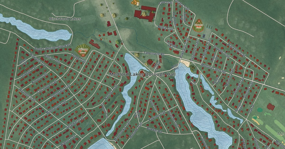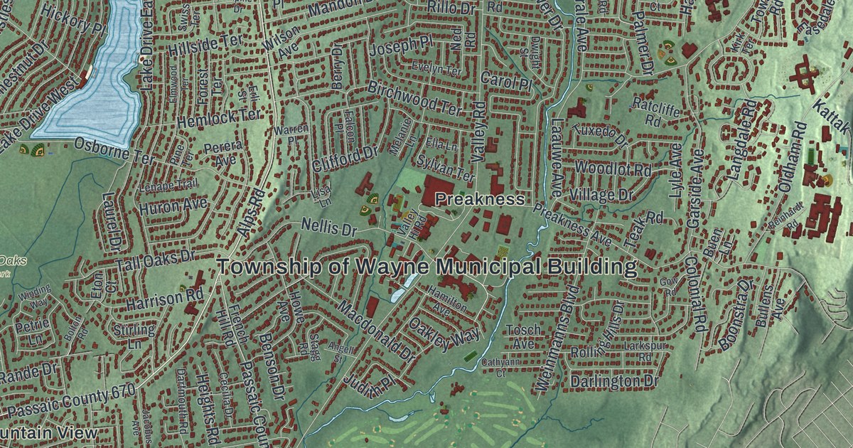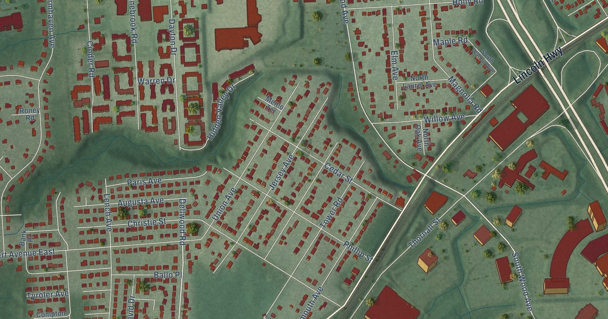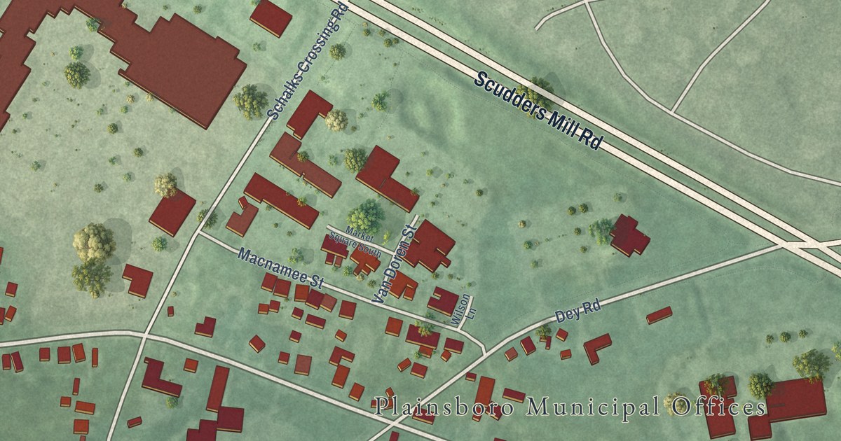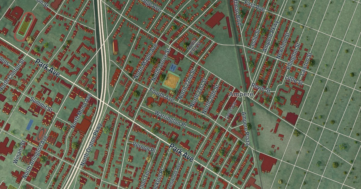
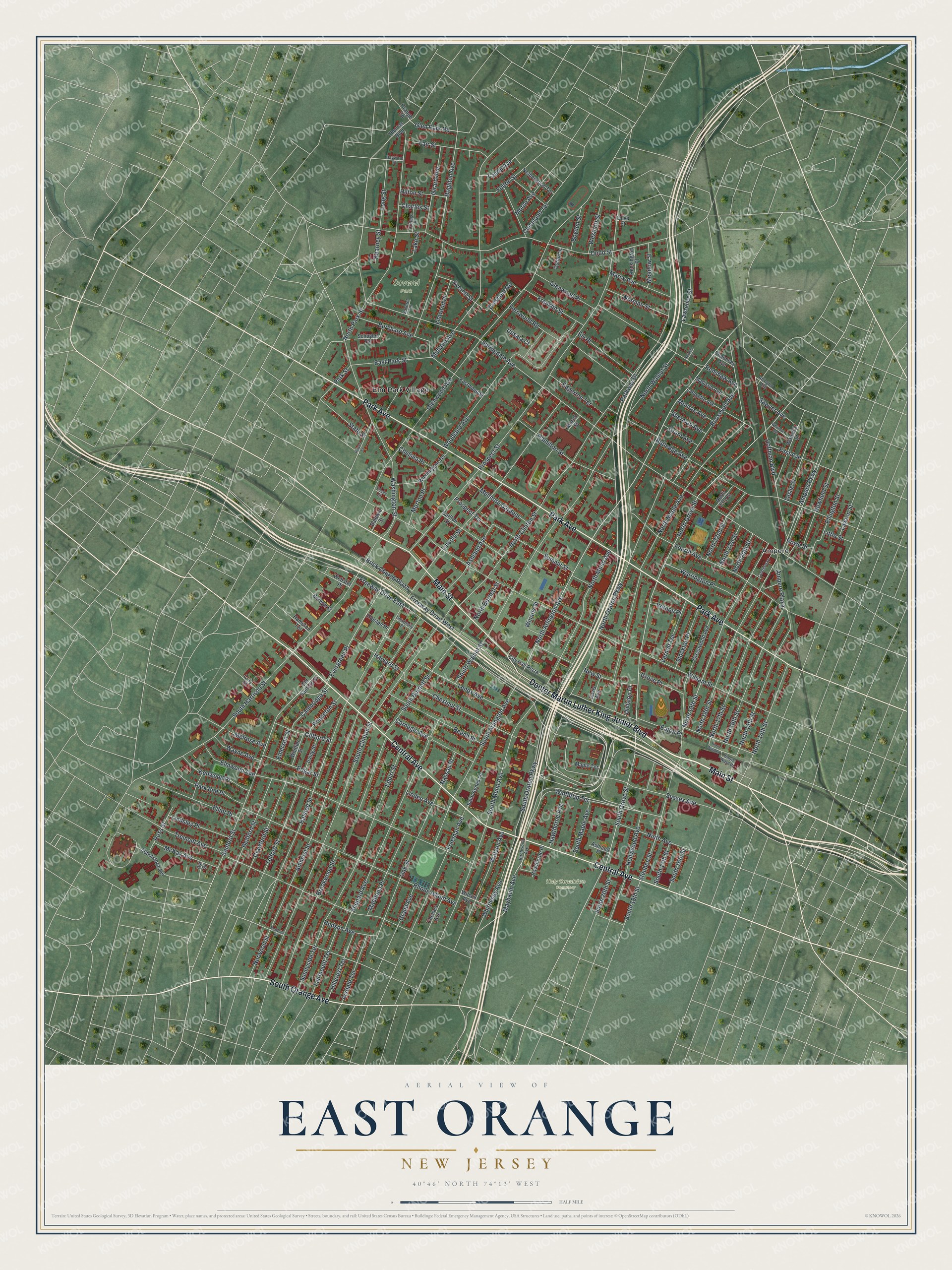
This beautifully detailed map of East Orange, New Jersey was created in 2026 using aerial imagery combined with modern topographical, census, street and landmark data. It’s a one-of-a-kind view of East Orange that combines accurate data with a vintage aesthetic. The map shows every building in its true location, many of the roads carry their names, and the shaded topographic relief shows the shape of the land.
Explore an aerial view of East Orange, New Jersey
On the map you’ll find Holy Sepulchre Cemetery, Soverel Park, Ampere, and Elm Park Village, along with Doctor Martin Luther King Junior Boulevard, Park Avenue, Central Avenue, Main Street, South Orange Avenue, North Arlington Avenue, Glen Park Road, North 19th Street, and more. If you look closely you can even find your house accurately drawn in its correct location. Zoom in on the preview to look for yours.
Did You Know?
East Orange was first part of Newark, in an area known as Newark Mountains. On June 7, 1780, residents voted to take the name Orange. Orange became a city in 1860 but soon split into smaller towns. Locals disagreed over paying for police, fire and street departments. East Orange formed on March 4, 1863.
Take a closer look at the East Orange map
Names on this map
These names are printed on this map.
Places: Holy Sepulchre Cemetery, Soverel Park, Ampere and Elm Park Village.
Streets and roads: Doctor Martin Luther King Junior Boulevard, Park Avenue, Central Avenue, Main Street, South Orange Avenue, North Arlington Avenue, Glen Park Road, North 19th Street, Maybaum Avenue, Evergreen Place, Sanford Street, South Oraton Parkway.
More street names, A to Z
Abbotsford Avenue, Abington Avenue, Amherst Street, Ampere Parkway, Ampere Plaza, Arsdale Terrace, Ashland Avenue, Ashland Place, Ayr Street, Baldwin Street, Bedford Street, Beech Street, Berwyn Street, Birchwood Avenue, Boyden Street, Brick Church Plaza, Brighton Avenue, Brookwood Street, Burchard Avenue, Cambridge Street, Carlton Street, Carnegie Avenue, Centerway, Charles Street, Chauncey Avenue, Chelsea Avenue, Chelsea Place, Chestnut Street, City Hall Plaza, Clay Street, Cleveland Terrace, Clifford Street, Cottage Place, Crawford Street, Crescent Road, Davis Avenue, Division Place, Dodd Street, Dodd Terrace, East Park Street, Eastwood Street, Eaton Place, Edgar Street, Edgerton Terrace, Ellington Street, Elliot Place, Elmwood Avenue, Ely Place, Emerson Street, Eppirt Street, Essex Street, Everett Street, Fairmount Terrace, Fair Street, Fernwood Road, First Avenue, Fourth Avenue, Franklin Street, Freeman Avenue, Freeway Drive East, Freeway Drive West, Fulton Street, Girard Avenue, Glenwood Avenue, Glenwood Place, Grand Avenue, Grant Avenue, Greenwood Avenue, Grove Place, Halsted Place, Halsted Street, Hamilton Street, Hampton Terrace, Harvard Street, Hawthorne Avenue, Hawthorne Place, Hayward Street, Hillcrest Terrace, Hillyer Street, Hilton Street, Hoffman Boulevard, Hollywood Avenue, Hudson Avenue, Irving Street, Kearney Street, Kensington Place, Kenwood Place, Lafayette Avenue, Lake Street, Laurel Avenue, Lawrence Street, Lawton Street, Lenox Avenue, Leslie Street, Lincoln Street, Linden Avenue, Lindsley Place, Linwood Place, Little Street, Long Street, Madison Avenue, Madonna Place, Maple Terrace, Marcy Avenue, McKay Avenue, Meadow Street, Melmore Gardens, Melrose Avenue, Midland Avenue, Monroe Avenue, Morris Street, Morse Avenue, Morton Place, Nassau Place, Netherwood Terrace, Newfield Street, New Street, Ninth Avenue, Norman Place, Norman Street, North 14th Street, North 15th Street, North 16th Street, North 17th Street, North 18th Street, North 20th Street, North 21st Street, North 22nd Street, North 23rd Street, North Burnett Street, North Clinton Street, North Grove Street, North Maple Avenue, North Munn Avenue, North Oraton Parkway, North Park Street, North Walnut Street, North Ward Place, Norwood Place, Norwood Street, Oak Street, Old Sanford Street, Olive Street, Orange Road, Park End Place, Park Street, Parkway Drive, Princeton Street, Prospect Street, Prospect Terrace, Renshaw Avenue, Rhode Island Avenue, Roosevelt Avenue, Ross Street, Rowe Street, Rutledge Avenue, Saint Agnes Lane, Sawyer Avenue, Schuyler Terrace, Shepard Avenue, Sherman Avenue, South 16th Street, South 17th Street, South 18th Street, South 20th Street, South Arlington Avenue, South Burnett Street, South Clinton Street, South Grove Street, South Harrison Street, South Maple Avenue, South Munn Avenue, South Walnut Street, South Ward Place, Soverel Terrace, Springdale Avenue, State Street, Steuben Street, Stockton Place, Summit Street, Sunnyside Terrace, Sussex Avenue, Telford Street, Thomas Boulevard, Tremont Avenue, University Place, Upsala Court, Vernon Place, Vernon Terrace, Warrington Place, Warwick Street, Washington Street, Washington Terrace, Watson Avenue, Wayne Avenue, Webster Place, Westcott Street, Whitman Avenue, Whittier Street, Whittlesey Avenue, Wilcox Avenue, William Street, Winans Street, Winthrop Terrace, Woodland Avenue.
See it on a wall
The East Orange map as an 18 x 24 inch print in a black frame.

This beautifully detailed map of East Orange makes an attractive addition to your office, library, or den, and it can even be used to teach children the geography and history of the area. It also makes a great gift for anyone who grew up in East Orange or moved away. When you’re done exploring, click here to get your copy of the East Orange map.