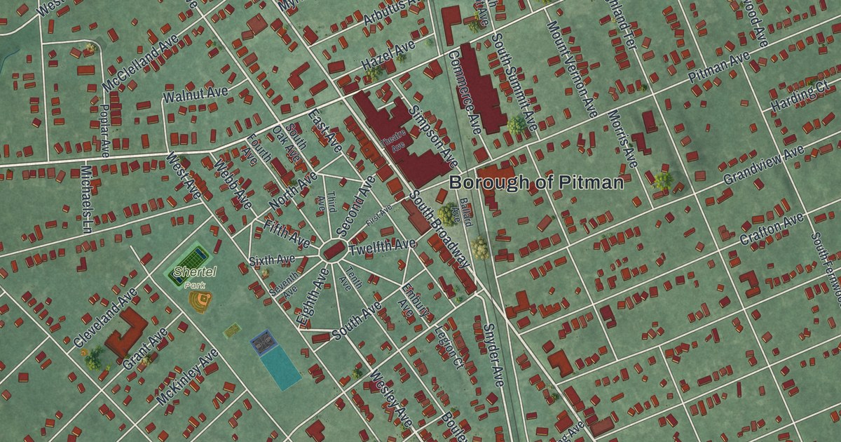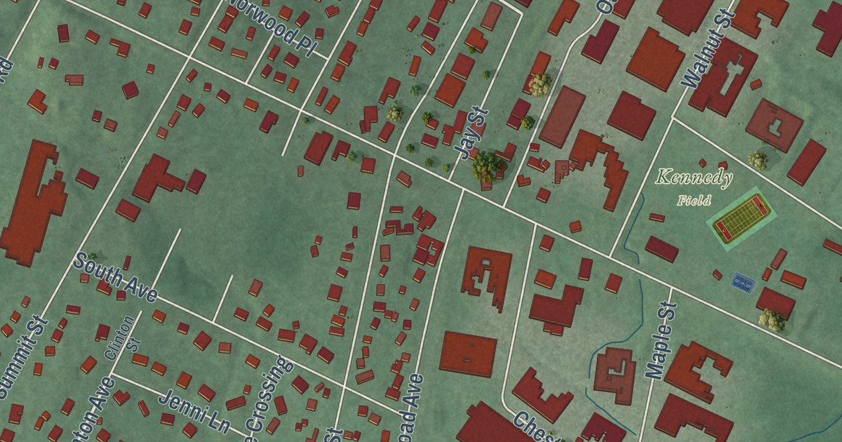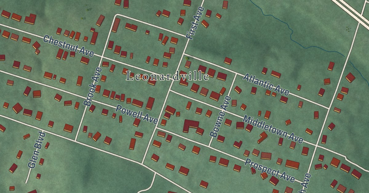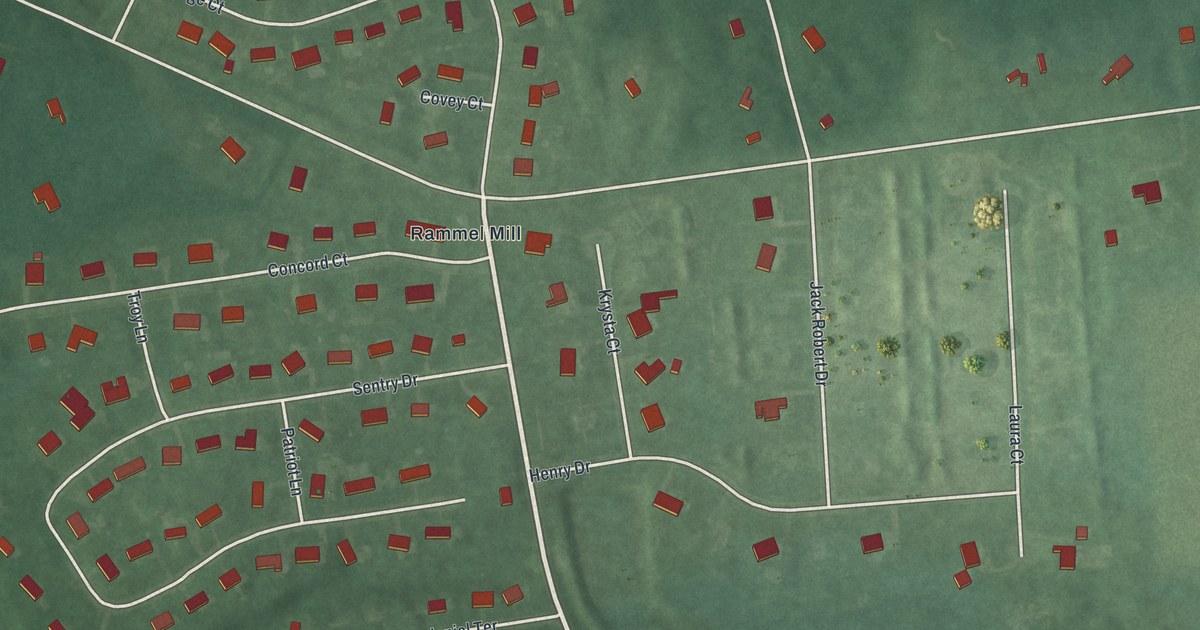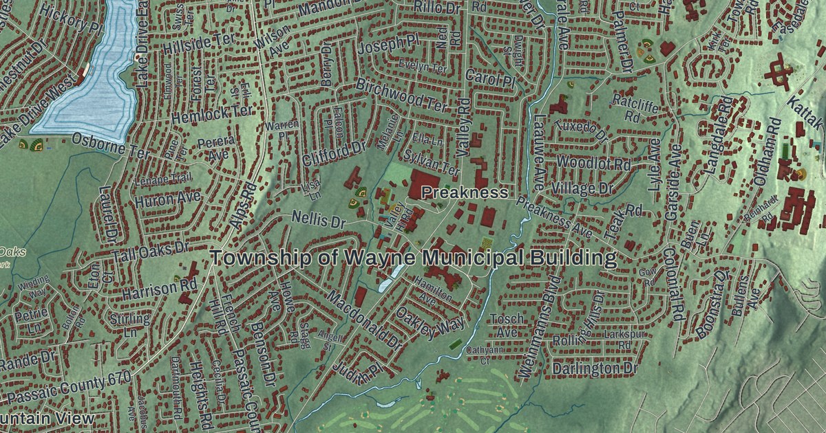
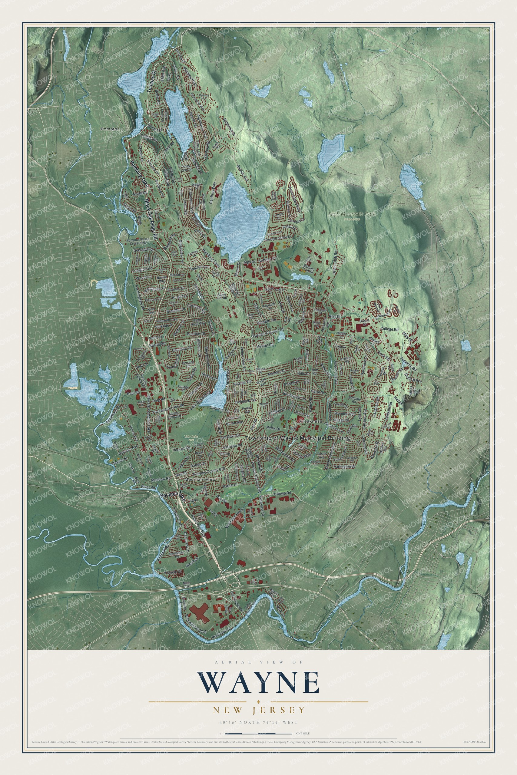
This beautifully detailed map of Wayne, New Jersey was created in 2026 using aerial imagery combined with modern topographical, census, street and landmark data. It’s a one-of-a-kind view of Wayne that combines accurate data with a vintage aesthetic. The map shows every building in its true location, many of the roads carry their names, and the shaded topographic relief shows the shape of the land.
Explore an aerial view of Wayne, New Jersey
On the map you’ll find Township of Wayne Municipal Building, Pompton, Mountain View, Preakness, High Mountain Park Preserve, and Tall Oaks Park, along with Black Oak Ridge Road, Terhune Drive, Hamburg Turnpike, Boonton Turnpike, and more. If you look closely you can even find your house accurately drawn in its correct location. Zoom in on the preview to look for yours.
Did You Know?
Horseman Sanford ran a breeding farm in the Preakness section of Wayne. He named a racehorse Preakness after it. That horse won the first race at Maryland’s new Pimlico Race Course in 1870. In 1873 Pimlico named its race for three year olds the Preakness Stakes to honor him.
Take a closer look at the Wayne map
Names on this map
These names are printed on this map.
Places: Township of Wayne Municipal Building, Pompton, High Mountain Park Preserve, Tall Oaks Park, Mountain View and Preakness.
Streets and roads: Black Oak Ridge Road, Terhune Drive, Hamburg Turnpike, Boonton Turnpike, Ratzer Road, Alps Road, Passaic County 670, Passaic County 705, Pompton Road, Alps Drive, Central Avenue, Newark Pompton Turnpike.
More street names, A to Z
Adelphia Road, Agawam Drive, Alder Avenue, Algonquin Trail, Allen Drive, Alpine Drive, Andover Drive, Angell Street, Apple Lane, Ashburn Road, Atherton Court, Baldwin Terrace, Balsam Road, Barbour Pond Drive, Barnsdale Road, Beech Terrace, Beechwood Drive, Benson Drive, Berdan Avenue, Berkley Court, Berry Drive, Birch Lane, Birchwood Terrace, Bodie Road, Bolton Road, Boonstra Drive, Boulevard Drive, Bourbon Street, Bowfell Court, Braemar Drive, Brandywine Road, Brittany Drive, Brook Terrace, Brookwood Drive, Bryan Court, Buen Lane, Bullens Avenue, Butternut Drive, Byrne Court, Cadmus Place, Camillo Drive, Canton Road, Carol Place, Castles Drive, Cathyann Court, Cecilia Drive, Cedar Place, Chandler Drive, Chestnut Drive, Cheyenne Way, Chicopee Drive, Chopin Drive, Church Lane, Claremont Terrace, Clark Street, Clifford Drive, Colfax Road, College Road, Colonial Road, County Highway 504, Courter Avenue, Coventry Road, Crane Terrace, Darlington Drive, Dartmouth Road, Debbie Court, Deerfield Road, Demarest Drive, Dey Road, Divan Way, Doig Road, Dorsa Avenue, Dubel Road, Dwight Street, Easedale Road, Eldorado Drive, Eleron Place, Ella Lane, Ellicott Lane, Elmwood Terrace, Emerson Place, Erli Street, Eton Court, Evelyn Terrace, Fairfield Road, Falcon Place, Farmingdale Road, Fayette Avenue, Ferrara Avenue, Fieldstone Place, Fisk Road, Ford Street, Forest Terrace, French Hill Road, Furman Drive, Furno Place, Galesi Drive, Garside Avenue, Gates Place, Geoffrey Way, Gibbs Drive, Gow Road, Grand Street, Green Knolls Drive, Greenrale Avenue, Hamilton Avenue, Hanes Drive, Hardwick Lane, Harrison Road, Haul Road, Hazen Court, Heights Road, Hemlock Terrace, Herfort Road, Hershey Road, Hickory Place, High Street, Hillcrest Drive, Hillside Terrace, Hinchman Avenue, Hobson Avenue East, Holy Cross Way, Horizon Drive, Howe Avenue, Hubbardton Road, Huff Road, Huron Avenue, Hurst Terrace, Indian Road, Iowa Road, Ivy Place, Jackson Avenue, Jacobus Avenue, James Street, Joseph Place, Joyce Lane, Judith Place, Juniper Road, Kattak, Kievit Road, Kime Avenue, Kingston Road, Kirk Terrace, Kiwanis Drive, Knox Terrace, Kurland Street, Laauwe Avenue, Laguna Drive, Lake Drive East, Lake Drive West, Lake Road, Langdale Road, Larks Meadow, Larkspur Road, Laurel Drive, Ledge Road, Legrande Terrace, Lenape Trail, Leonard Terrace, Leo Place, Linden Road, Lions Head Drive West, Lisa Lane, Lois Court, Longport Road, Lowell Drive, Ludlum Road, Lyle Avenue, Macdonald Drive, Main Avenue, Mandeville Drive, Mandon Drive, Manitou Pass, Manor Drive, Maple Lane, Marlton Drive, Meadow Road, Melanie Lane, Meyer Lane, Miller Road, Mills Drive, Minns Avenue, Mountain Ridge Drive, Myrtle Avenue, Nathan Way, Ned Road, Nellis Drive, Nevins Road, Newark Avenue, New Street, North Leg, North Road, Oak Hill Drive, Oak Lane, Oakley Way, Oldham Road, Old Turnpike Road, Orange Place, Osborne Terrace, Osceola Road, Owens Drive, Oxbow Place, Packanack Lake Road, Pal Drive, Palmer Drive, Pancake Hollow Drive, Parish Drive, Park Lane, Passaic County 640, Passaic County 683, Peach Way, Perera Avenue, Perrin Drive, Petrie Lane, Piermont Terrace, Pike Drive, Pines Lake Drive, Pines Lake Drive East, Pine Terrace, Pitman Place, Point View Parkway, Pompton Plains Crossroads, Post Lane, Preakness Avenue, Rande Drive, Ratcliffe Road, Ray Street, Reinhardt Road, Ridge Place, Ridgeview Terrace, Rillo Drive, Riverlawn Drive, River Road, Riverside Drive, Riverview Drive, Robin Hood Way, Rock Road, Rolling Hills Drive, Ruskin Court, Ryder Road, Ryerson Avenue, Sanderling Road, Sandra Lane, Sears Place, Sheffield Road, Shore Road, Shoshone Trail, Sleepy Hollow Drive, Smith Lane, Squire Lane, Stagg Road, Stalter Drive, Stirling Lane, Stone Hill Road, Summer Hill Road, Summit Drive, Sunset Terrace, Surrey Drive, Swiss Terrace, Sylvan Terrace, Tall Oaks Drive, Taylor Drive, Teak Road, Timberline Drive, Tosch Avenue, Totowa Road, Towsen Road, Traphagen Road, Travelo Drive, Tulip Terrace, Tuxedo Drive, Urban Club Road, Vale Road, Valley Hi Road, Valley Road, Valley View Terrace, Vans Lane, Verkade Drive, Village Drive, Vista Trail, Vizcaya Court, Walker Avenue, Warbler Drive, Warren Place, Wayne Street, Webster Drive, Weinmanns Boulevard, Wendt Lane, Westbelt, West Belt Parkway, West Road, Westview Road, Whitmore Avenue, Willowbrook Boulevard, Wills Avenue, Wilson Avenue, Winding Way, Woodhaven Drive, Woodlot Road.
See it on a wall
The Wayne map as an 18 x 24 inch print in a black frame.

This beautifully detailed map of Wayne makes an attractive addition to your office, library, or den, and it can even be used to teach children the geography and history of the area. It also makes a great gift for anyone who grew up in Wayne or moved away. When you’re done exploring, click here to get your copy of the Wayne map.