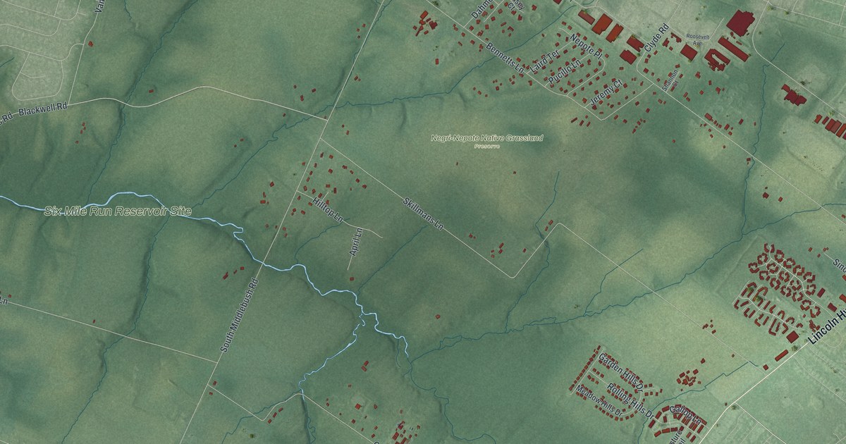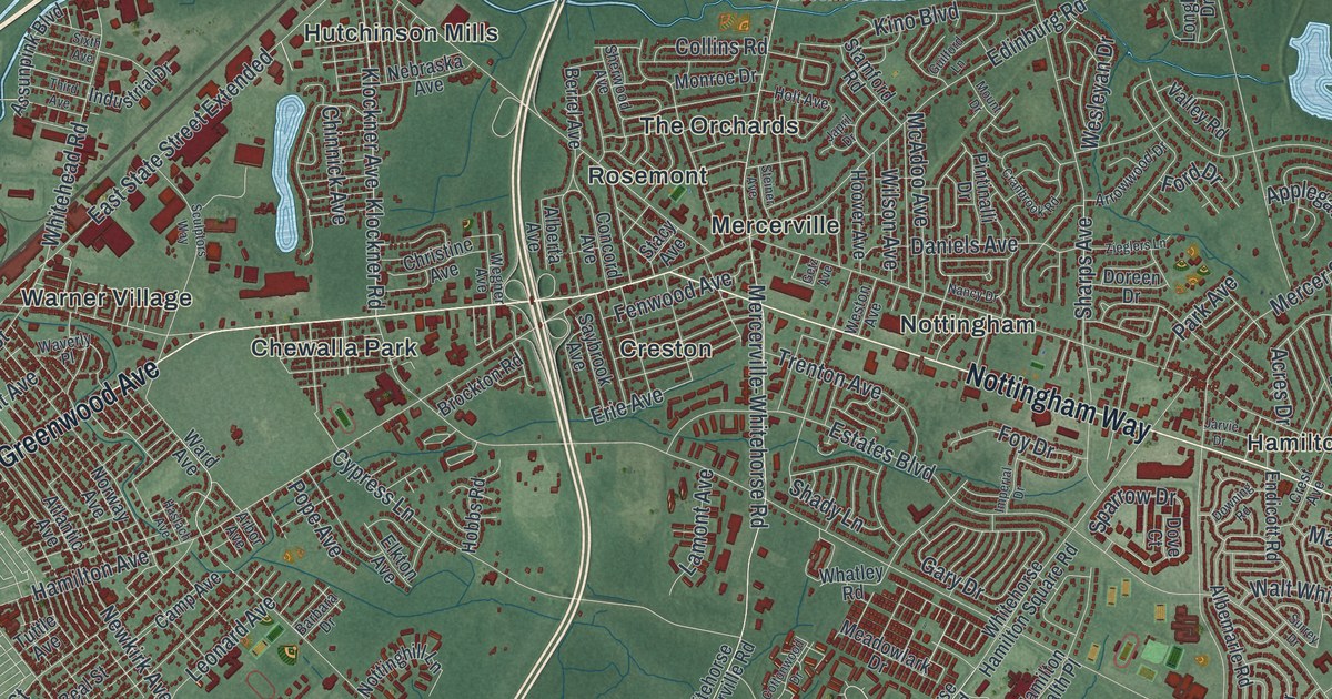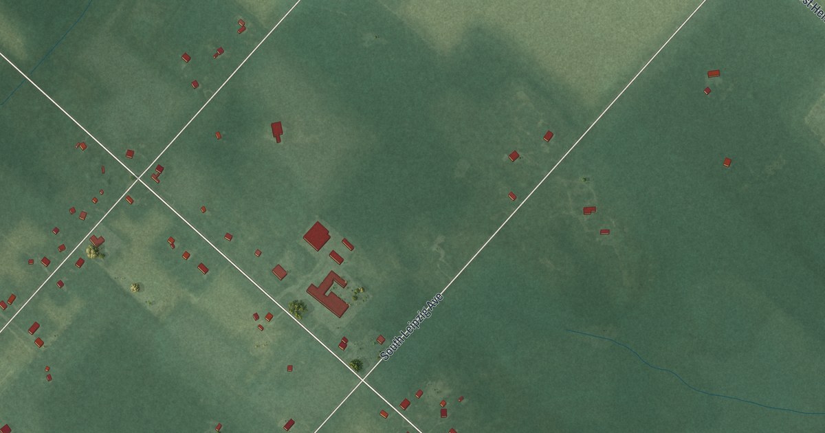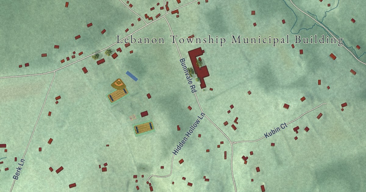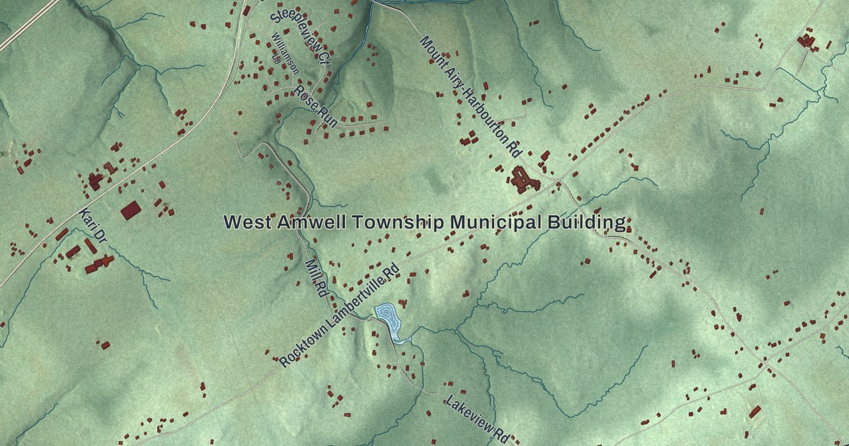
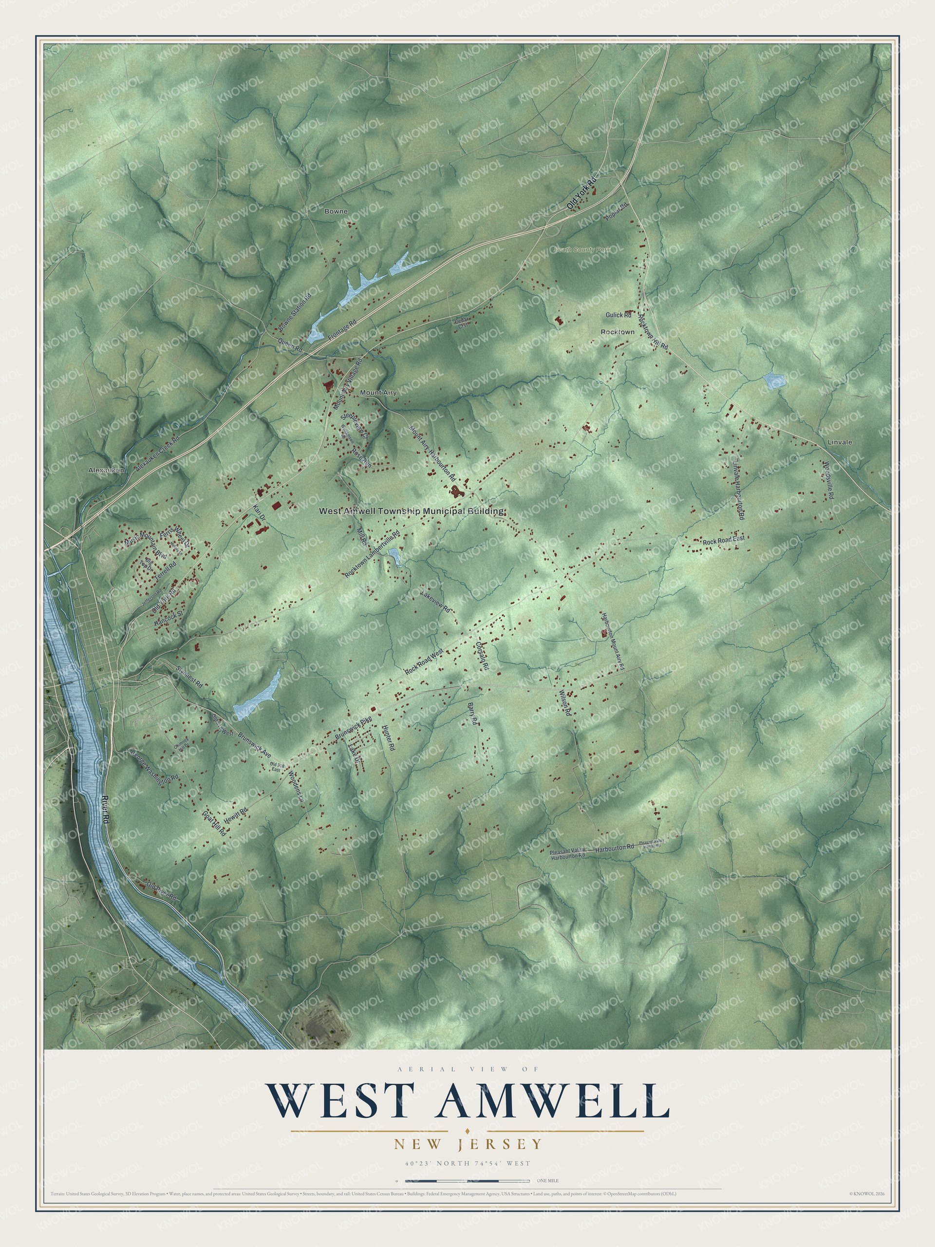
This beautifully detailed map of West Amwell, New Jersey was created in 2026 using aerial imagery combined with modern topographical, census, street and landmark data. It’s a one-of-a-kind view of West Amwell that combines accurate data with a vintage aesthetic. The map shows every building in its true location, many of the roads carry their names, and the shaded topographic relief shows the shape of the land.
Explore an aerial view of West Amwell, New Jersey
On the map you’ll find West Amwell Township Municipal Building, Alexauken, Bowne, Linvale, Mount Airy, Rocktown, and South County Park, along with River Road, Old York Road, Brunswick Pike, Alexauken Creek Road, and more. If you look closely you can even find your house accurately drawn in its correct location. Zoom in on the preview to look for yours.
Did You Know?
West Amwell was formed in 1846, when its parent township was split in two. That older township took its name from Great and Little Amwell in Hertfordshire, England. In 1935, local farmers signed a protest against the federal Potato Control Law. They vowed to grow and sell potatoes on their own land as they saw fit.
Take a closer look at the West Amwell map
Names on this map
These names are printed on this map.
Places: West Amwell Township Municipal Building, South County Park, Alexauken, Bowne, Linvale, Mount Airy and Rocktown.
Streets and roads: River Road, Old York Road, Brunswick Pike, Alexauken Creek Road, Rocktown Lambertville Road, Queen Road, Harbourton Road, Brunswick Avenue, Rock Road West, Hunter Road, Goat Hill Road, Mount Airy-Harbourton Road.
More street names, A to Z
Barry Road, Big Top Drive, Bowne Station Road, Cedar Crst, Chimney Hill Drive, Corsalo Road, Ferris Wheel Drive, Frontage Road, George Washington Road, Gulick Road, Hancock Street, Harbourton Mount Airy Road, Hewitt Road, Jefferson Road, Kari Drive, Lake Drive, Lakeview Road, Linvale Harbourton Road, Melody Lane, Mill Road, Mount Airy Village Road, Music Mountain Boulevard, Old 518 East, Old 518 West, Old River Road, Pleasant Valley Harbou Road, Pleasant Valley Harbourton Road, Poplar Road, Rock Road East, Rocktown Hill Road, Rose Run, Steepleview Court, Stymiest Road, Terrell Road, Williamson Lane, Wilson Road, Woodens Lane, Woodsville Road.
See it on a wall
The West Amwell map as an 18 x 24 inch print in a black frame.

This beautifully detailed map of West Amwell makes an attractive addition to your office, library, or den, and it can even be used to teach children the geography and history of the area. It also makes a great gift for anyone who grew up in West Amwell or moved away. When you’re done exploring, click here to get your copy of the West Amwell map.