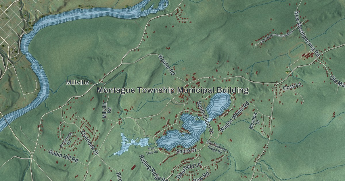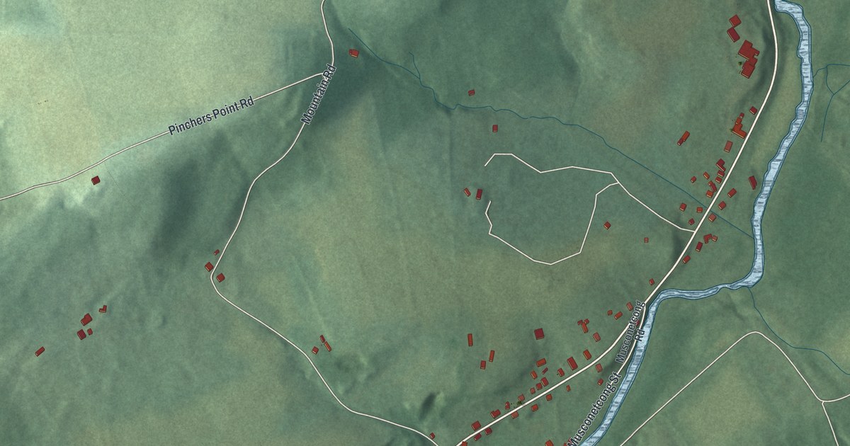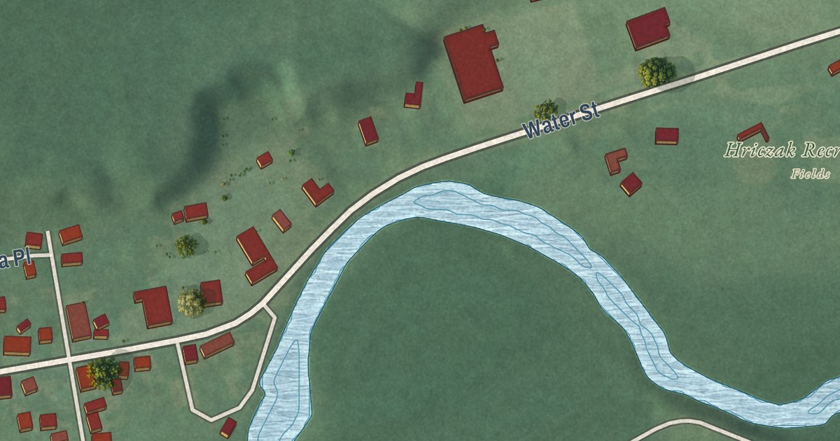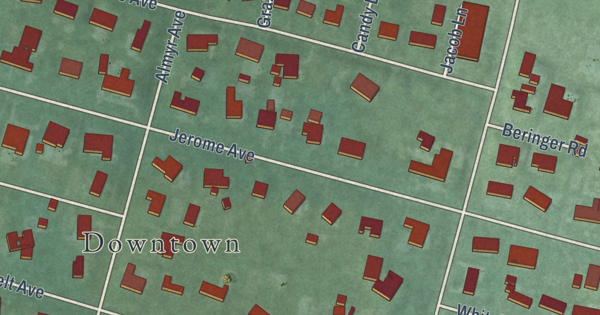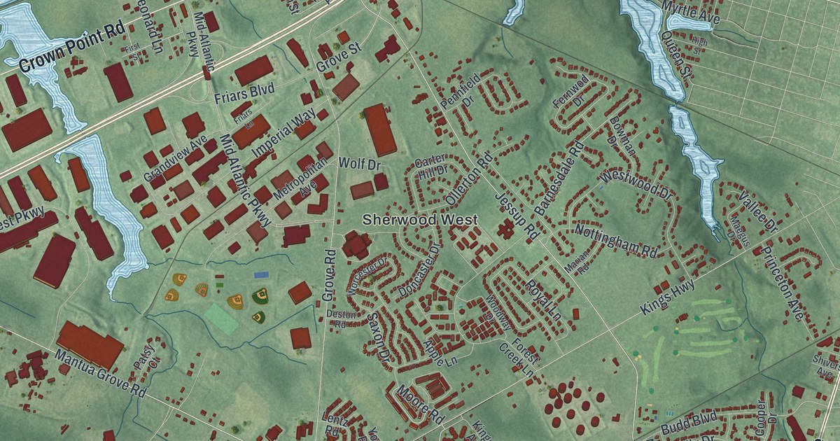
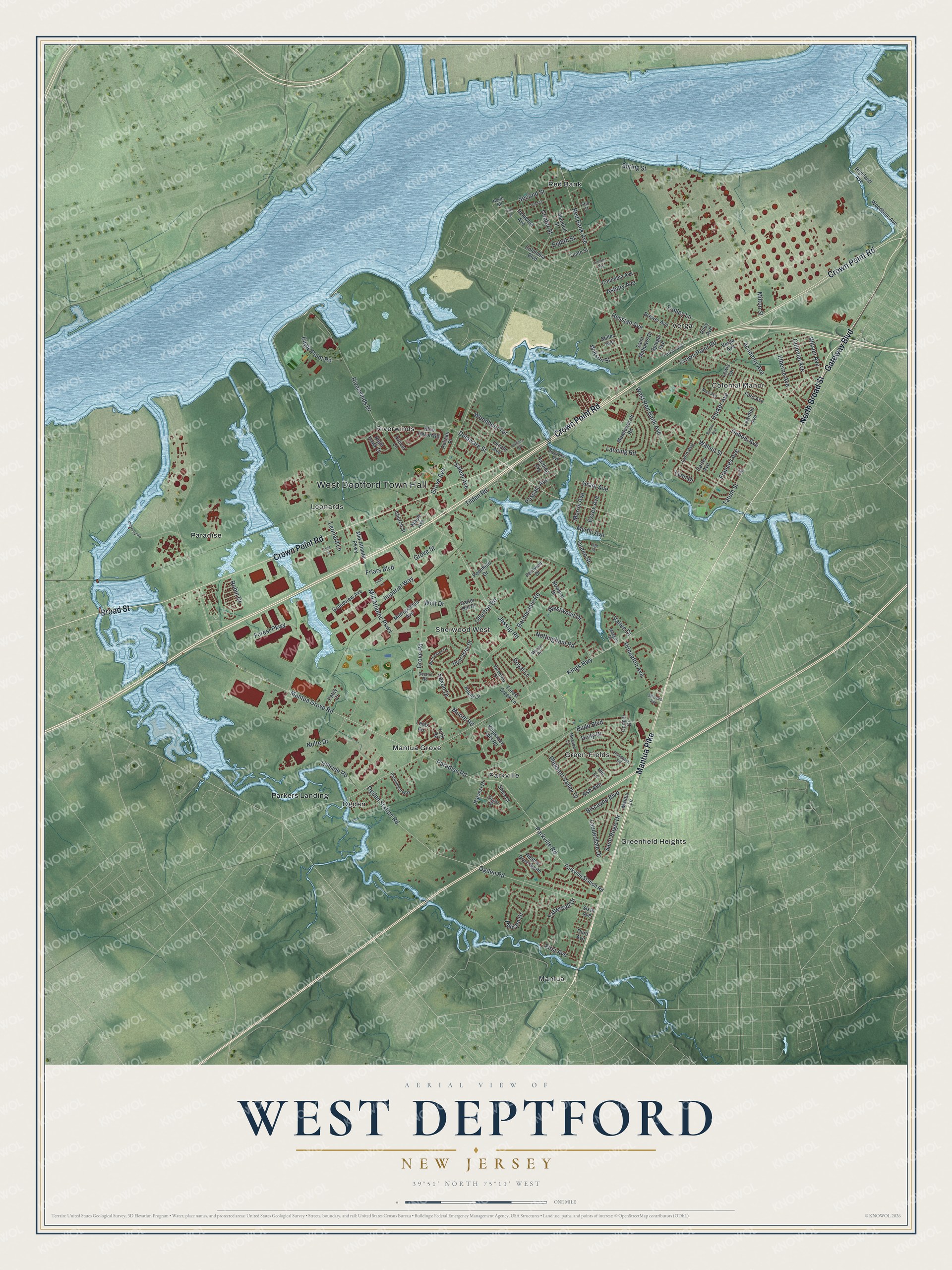
This beautifully detailed map of West Deptford, New Jersey was created in 2026 using aerial imagery combined with modern topographical, census, street and landmark data. It’s a one-of-a-kind view of West Deptford that combines accurate data with a vintage aesthetic. The map shows every building in its true location, many of the roads carry their names, and the shaded topographic relief shows the shape of the land.
Explore an aerial view of West Deptford, New Jersey
On the map you’ll find West Deptford Town Hall, Green-Fields, Greenfield Heights, Leonards, Mantua, and Mantua Grove, along with Gateway Boulevard, Broad Street, Mantua Pike, Crown Point Road, and more. If you look closely you can even find your house accurately drawn in its correct location. Zoom in on the preview to look for yours.
Did You Know?
Ladd’s Castle, also called Candor Hall, is the oldest brick home in Gloucester County. John Ladd built it around 1688. He was a surveyor who helped William Penn plan the city of Philadelphia. The township, formed in 1871, was named for Deptford in London.
Take a closer look at the West Deptford map
Names on this map
These names are printed on this map.
Places: West Deptford Town Hall, Colonial Manor, Green-Fields, Greenfield Heights, Leonards, Mantua, Mantua Grove, Ogden, Paradise, Parkers Landing, Parkville, Red Bank, Riverwinds, Sherwood West and Verga.
Streets and roads: Gateway Boulevard, North Broad Street, Mantua Pike, Broad Street, Crown Point Road, Delaware Street, Moore Road, Paradise Road, Jessup Road, Barnesdale Road, Riverwinds Drive, Mantua Grove Road.
More street names, A to Z
Academy Avenue, Apple Lane, Asbury Avenue, Ash Avenue, Avocet Lane, Barlow Avenue, Biscayne Boulevard, Blue Heron Road, Bowman Drive, Brewer Avenue, Budd Boulevard, Carter Avenue, Carter Hill Drive, Center Street, Church Street, Colonial Avenue, Columbia Avenue, Columbia Boulevard, Cooper Drive, Delaware Avenue, Deston Road, Doncaster Drive, Dubois Avenue, Eagle Point Road, Eighth Street, Elberne Avenue, Essex Avenue, Fernwod Drive, Fifth Street, First Avenue, First Street, Ford Avenue, Forest Creek Lane, Forest Parkway, Frances Avenue, Franklin Avenue, Friars Boulevard, Friars Lane, Ginger Drive, Grandview Avenue, Grant Avenue, Grove Avenue, Grove Road, Grove Street, Harding Avenue, Harker Avenue, Harvest Drive, Heather Drive South, Hessian Avenue, Highland Avenue, High Street, Hill Lane, Hillside Road, Holly Drive, Imperial Way, Kings Highway, Kingswick Apts Road, Lancing Road, Lauderdale Drive, Lawnton Avenue, Lecato Avenue, Lentz Road, Leonard Lane, Lewis Terrace, Lincoln Avenue, Lynn Avenue, Lynn Drive, Maegus Drive, Malibu Lane, Manduit Street, Maple Avenue, Marian Road, May Avenue, Meadowcroft Road, Meadow Lane, Metropolitan Avenue, Mid-Atlantic Parkway, Mid Atlantic Parkway, Miller Avenue, Milton Street, Morris Avenue, Myrtle Avenue, Night Hawk Drive, Nolte Drive, North Road, Nottingham Road, Ogden Road, Ogden Station Road, Ollerton Road, Page Street, Parkville Road, Parkville Station Road, Parliament Way, Passaic Avenue, Patsy Court, Pelham Drive, Pelican Place, Pennfield Drive, Pleasant Valley Drive, Princeton Avenue, Queen Street, Randolph Road, Red Bank Avenue, Riley Avenue, Riverview Avenue, Robin Drive, Royal Lane, Saint Mathews Drive, Saint Regis Drive, Salem Avenue, Saxon Drive, Second Street, Shira Court, Shivers Avenue, Sixth Avenue, Spiegle Avenue, Spring Street, Tattersall Drive, Tatum Street, Tenth Street, Third Avenue, Third Street, Tilden Road, Trolley Lane, Universal Road, Vallee Drive, Verga Avenue, Virginia Avenue, Walnut Street, Watson Street, West Red Bank Avenue, Westwood Drive, Wilson Avenue, Wolf Drive, Woodbine Avenue, Woodbury Terrace, Woodway Drive, Worcester Drive, York Road.
See it on a wall
The West Deptford map as an 18 x 24 inch print in a black frame.

This beautifully detailed map of West Deptford makes an attractive addition to your office, library, or den, and it can even be used to teach children the geography and history of the area. It also makes a great gift for anyone who grew up in West Deptford or moved away. When you’re done exploring, click here to get your copy of the West Deptford map.