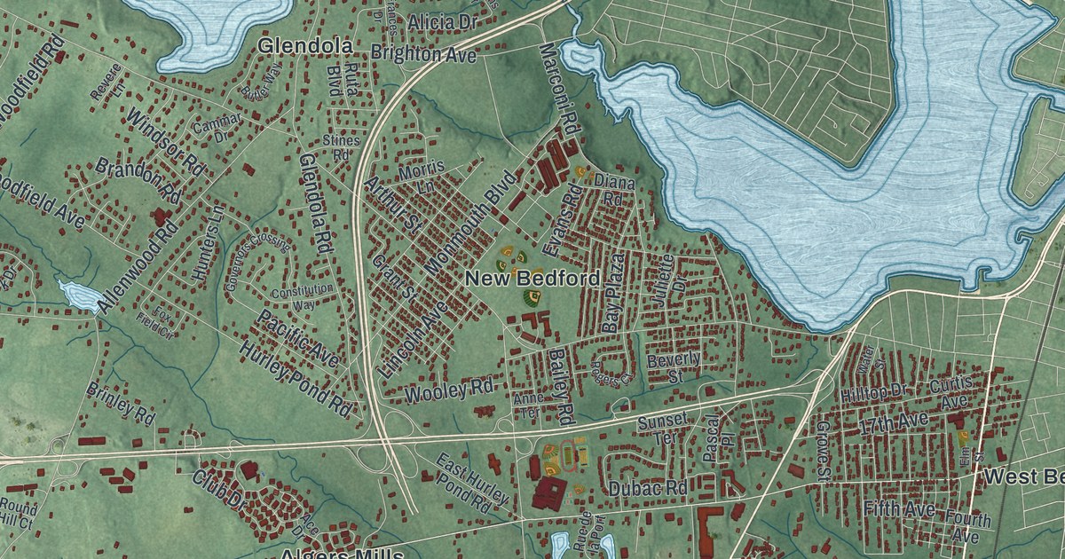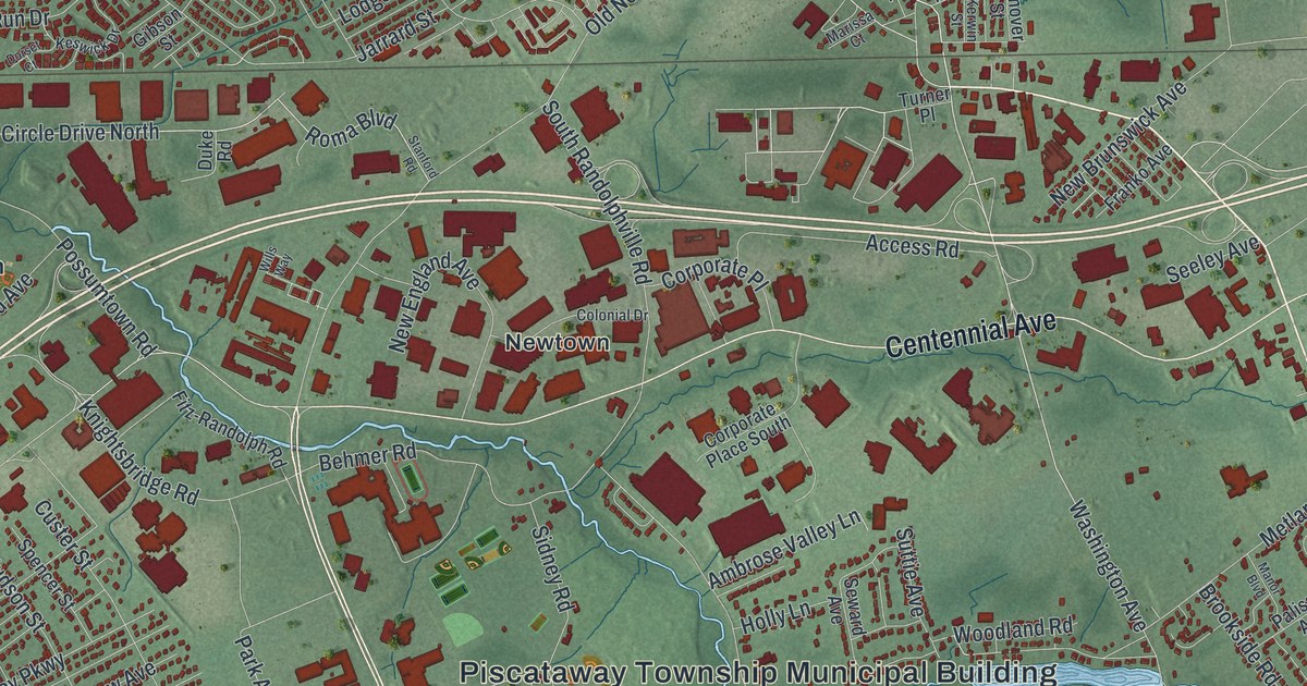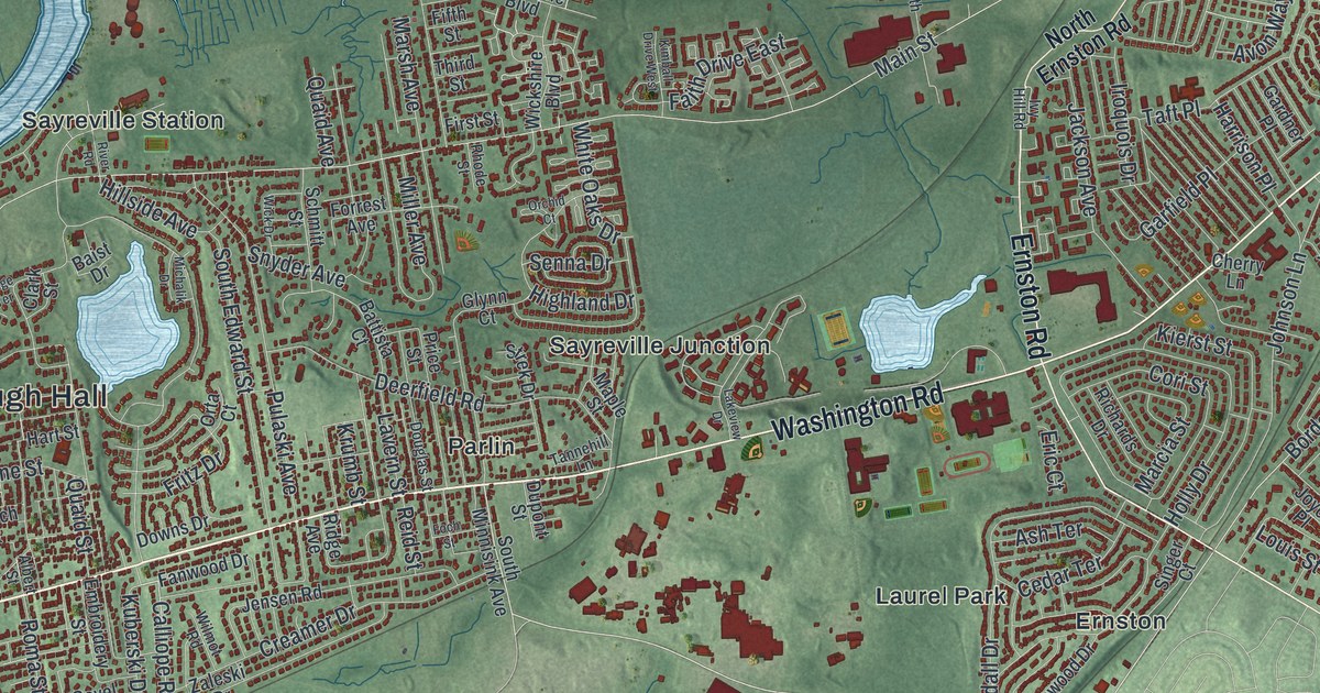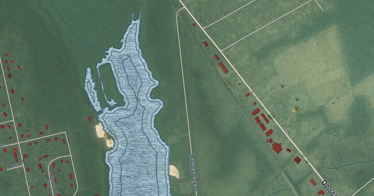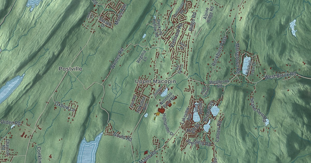
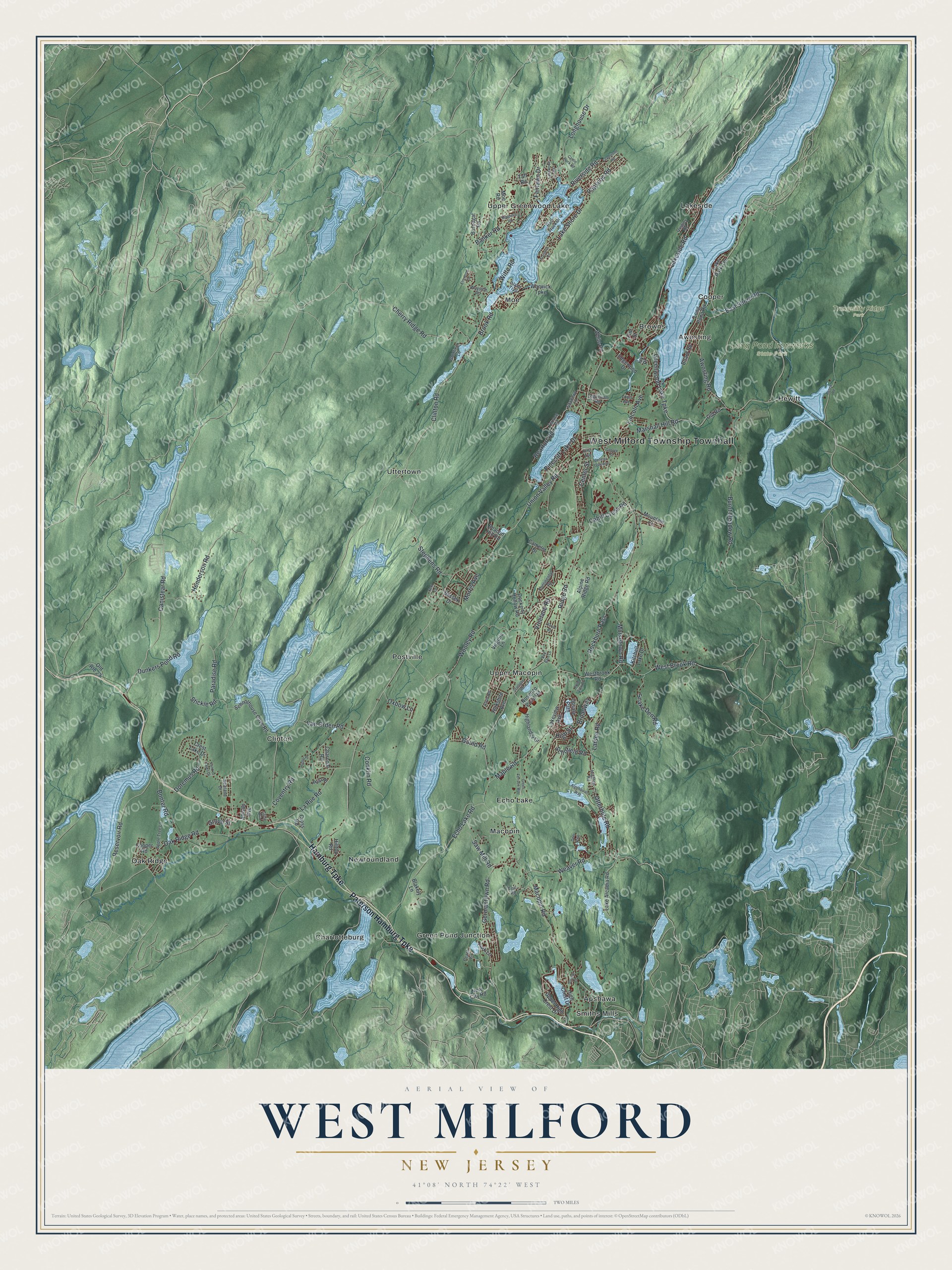
This beautifully detailed map of West Milford, New Jersey was created in 2026 using aerial imagery combined with modern topographical, census, street and landmark data. It’s a one-of-a-kind view of West Milford that combines accurate data with a vintage aesthetic. The map shows every building in its true location, many of the roads carry their names, and the shaded topographic relief shows the shape of the land.
Explore an aerial view of West Milford, New Jersey
On the map you’ll find West Milford Township Townhall, Apshawa, Awosting, Browns, Charlotteburg, Clinton, Long Pond Ironworks State Park, and Tranquility Ridge Park, along with Hamburg Turnpike, Paterson Hamburg Turnpike, Shore Road, Canistear Road, and more. If you look closely you can even find your house accurately drawn in its correct location. Zoom in on the preview to look for yours.
Did You Know?
Before World War II, West Milford was a resort area. Trains brought visitors from New York City to stations such as Charlotteburg, Newfoundland and Hewitt. On Greenwood Lake, once called Long Pond, steamboats met the trains and carried guests to lakeside resorts. The grandest was the two-deck steamer Montclair.
Take a closer look at the West Milford map
Names on this map
These names are printed on this map.
Places: West Milford Township Townhall, Long Pond Ironworks State Park, Tranquility Ridge Park, Apshawa, Awosting, Browns, Charlotteburg, Clinton, Cooper, Echo Lake, Green Pond Junction, Hewitt, Lakeside, Macopin, Moe, Newfoundland, Oak Ridge, Postville, Smiths Mills, Upper Greenwood Lake, Upper Macopin and Uttertown.
Streets and roads: Hamburg Turnpike, Paterson Hamburg Turnpike, East Shore Road, Canistear Road, Clinton Road, Union Valley Road, Macopin Road, Paradise Road, Greenwood Lake Turnpike, Otterhole Road, Lake Shore Drive, Morsetown Road.
More street names, A to Z
Algonquian Way, Allison Avenue, Alpine Ridge Road, Alvin Road, Apple Tree Lane, Awosting Road, Banker Road, Barnegat Road, Baron Road, Beacon Hill Road, Bearfort Road, Beech Road, Belleau Gateway, Blakely Lane, Board Road, Bonter Road, Broadway, Brook Road, Burnt Meadow Road, Cahill Cross Road, Camelot Drive, Castle Rock Road, Center Street, Charcoal Road, Cherry Ridge Road, Circle Boulevard, Conklin Road, Continental Road, Cooper Road, Coventry Road, Crest Lake Drive, Cross Road, Deer Path, Dockerty Hollow Road, Doremus Road, Dunkers Pond Road, Echo Lake Road, Edgecumb Road, Edgewood Drive, Elm Street, Elmwood Court, Fairlawn Drive, First Avenue, Flanders Road, George Street, Germantown Road, Gladstone Road, Goldfinch Lane, Gould Road, Green Terrace Way, Grove Street, Henderson Road, High Crest Drive, Highlander Drive, High Street, Hightop Road, Hilltop Road, Hopler Place, Island Trail, Ivy Place, Kent Lane, Kitchell Lake Drive, Lake Arcadia Road, Lake Park Terrace, Lakeside Road, Lakeview Avenue, Lakewood Road, Land of Oaks Drive, Larsen Road, La Rue Road, Lincoln Avenue, Longhouse Drive, Long Pond Road, Louis Avenue, Magnolia Road, Maple Road, Marshall Hill Road, Moe Road, Morris Avenue, Mountain Circle, New City Road, Newland Drive, Nosenzo Pond Road, Oak Ridge Road, Old Road, Old Route 23, Oxbow Lane, Papscoe Road, Park Lane, Peach Lane, Pinecliff Lake Drive, Pond View Drive, Post Place, Quigley Road, Race Track Drive, Red Barn Lane, Reservoir Road, Ridge Road, Riverside Road, Rockburn Pass, Saw Mill Road, Schofield Road, Schoolhouse Cove Road, Shadowy Lane, Snake Den Road, Starlight Road, Stephens Road, Stickle Road, Struble Lane, Sussex Drive, Taft Road, Teal Road, Terrace Road, Upper High Crest Drive, Upsala Path, Van Orden Road, Virginia Lane, Vreeland Road, Warwick Turnpike, Wayside Road, Weaver Road, West Brook Road, Westbrook Road, White Road, Witte Road, Wooley Road, Yorkshire Avenue.
See it on a wall
The West Milford map as an 18 x 24 inch print in a black frame.

This beautifully detailed map of West Milford makes an attractive addition to your office, library, or den, and it can even be used to teach children the geography and history of the area. It also makes a great gift for anyone with West Milford roots. When you’re done exploring, click here to get your copy of the West Milford map.