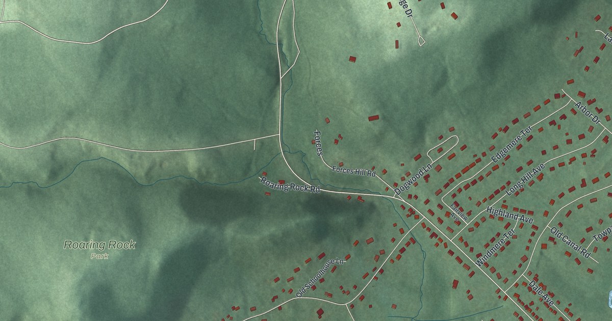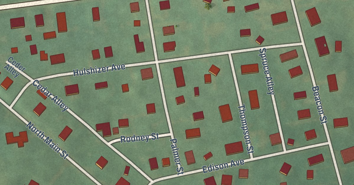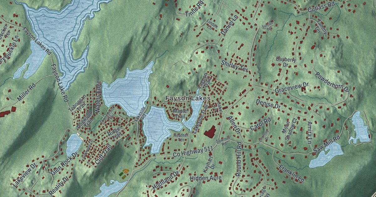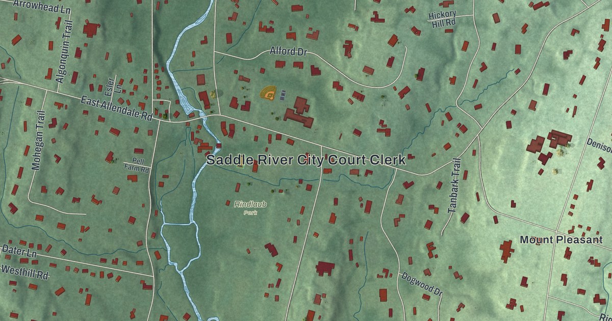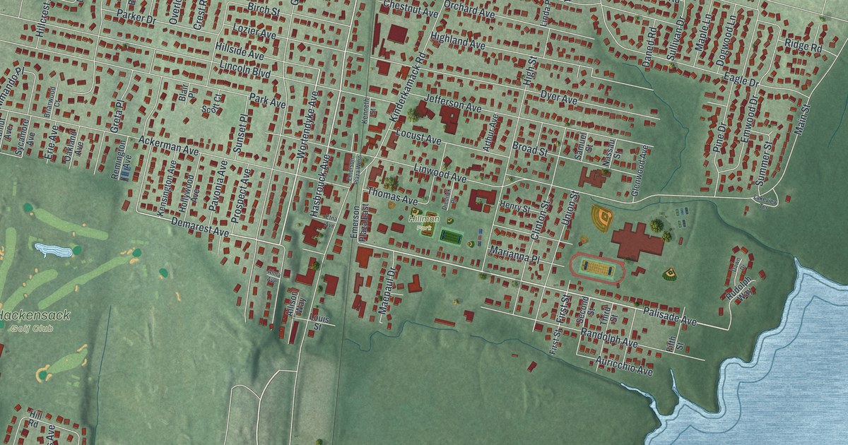
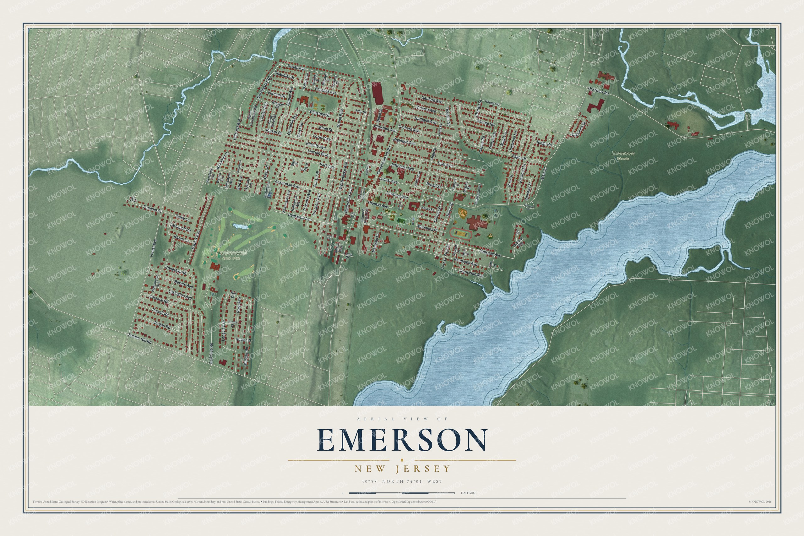
This beautifully detailed map of Emerson, New Jersey was created in 2026 using aerial imagery combined with modern topographical, census, street and landmark data. It’s a one-of-a-kind view of Emerson that combines accurate data with a vintage aesthetic. The map shows every building in its true location, many of the roads carry their names, and the shaded topographic relief shows the shape of the land.
Explore an aerial view of Emerson, New Jersey
On the map you’ll find Emerson Woods, Hackensack Golf Club, and Hillman Park, along with Hasbrouck Avenue, Wortendyke Avenue, Dorchester Road, First Street, Palisade Avenue, Demarest Avenue, Franklin Court, Main Street, Kinderkamack Road, and more. If you look closely you can even find your house accurately drawn in its correct location. Zoom in on the preview to look for yours.
Did You Know?
The borough was formed on April 8, 1903, as Etna. That was the name of the local railroad station. The name was changed to Emerson in 1909. It honors the author Ralph Waldo Emerson.
Take a closer look at the Emerson map
Names on this map
These names are printed on this map.
Places: Emerson Woods, Hackensack Golf Club and Hillman Park.
Streets and roads: Hasbrouck Avenue, Wortendyke Avenue, Dorchester Road, First Street, Palisade Avenue, Demarest Avenue, Franklin Court, Main Street, Kinderkamack Road, Grand Boulevard, Old Hook Road, Lincoln Boulevard.
More street names, A to Z
Ackerman Avenue, Allison Way, Alma Avenue, Arthur Avenue, Auricchio Avenue, Birch Street, Blair Place, Bland Street, Bolling Street, Briarwood Court, Broad Street, Brook Street, Chandler Drive, Charles Street, Chestnut Avenue, Chestnut Street, Cindy Lane, Clinton Street, Colonial Road, Congress Road, Crest Road, Daned Road, Dawn Drive, Diedrick Place, Dogwood Lane, Douglas Street, Dyer Avenue, Eagle Drive, Emerson Plaza East, Emerson Plaza West, Emwood Drive, Erie Avenue, Etna Avenue, Fifth Street, Forest Avenue, Furman Drive, George Road, Glenwood Avenue, Golf Club Road, Granger Road, Greta Place, Haines Avenue, Hartland Avenue, Henry Street, Highland Avenue, High Street, Hillcrest Avenue, Hill Road, Hillside Avenue, Hollywood Avenue, Hopper Place, Huyler Street, Jefferson Avenue, John Street, Jordan Road, Karen Lane, Kenneth Street, Kensington Avenue, Lakeview Drive, Lakeview Terrace, Lee Court, Lexington Avenue, Linda Place, Linden Avenue, Linwood Avenue, Locust Avenue, Longview Drive, Louis Street, Lozier Avenue, Maepaul Drive, Maple Lane, Marianna Place, Mitchell Street, Munsey Road, Nassau Street, Nimando Place, Oakland Avenue, Orchard Avenue, Overlook Avenue, Park Avenue, Parker Drive, Pascack Avenue, Patrick Avenue, Pavonia Avenue, Pershing Street, Pine Drive, Powell Road, Prospect Avenue, Randolph Avenue, Remington Avenue, Revere Avenue, Ridge Road, Ross Avenue, Rudolph Way, Samuel Street, Sanford Avenue, Scott Court, Second Street, Seneca Avenue, Soldier Hill Road, South Dorchester Road, Spruce Avenue, Sullivan Drive, Summer Street, Sunset Place, Sycamore Avenue, Tarnapoll Road, Third Street, Thomas Avenue, Union Street, Valley Brook Drive, Vivian Avenue, Walnut Avenue, Washington Avenue, Woodside Avenue.
See it on a wall
The Emerson map as an 18 x 24 inch print in a black frame.

This beautifully detailed map of Emerson makes an attractive addition to your office, library, or den, and it can even be used to teach children the geography and history of the area. It also makes a great gift for anyone who grew up in Emerson or moved away. When you’re done exploring, click here to get your copy of the Emerson map.