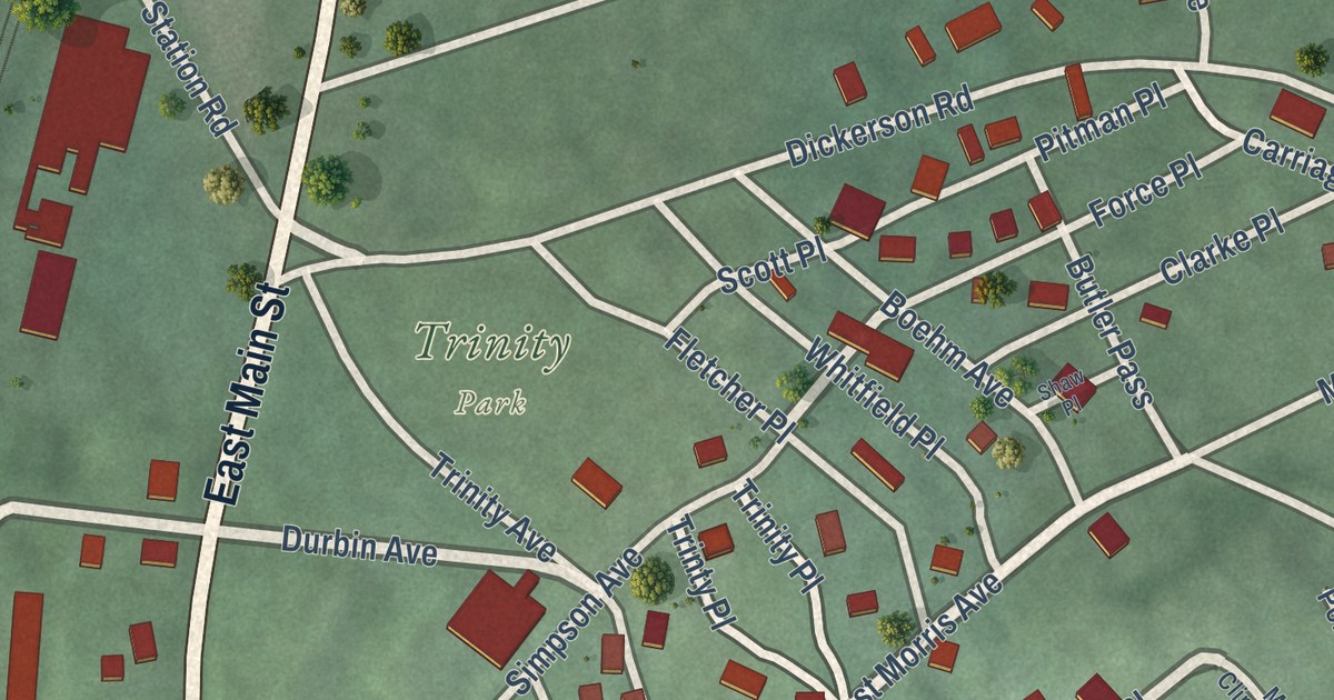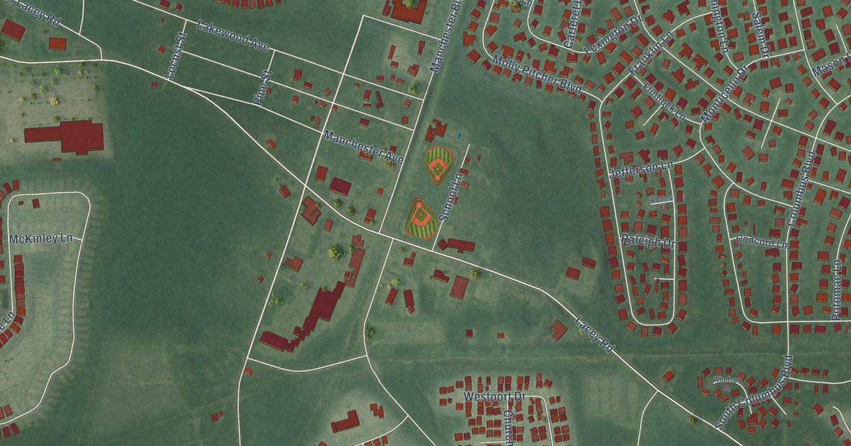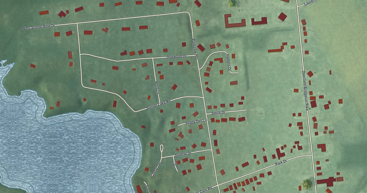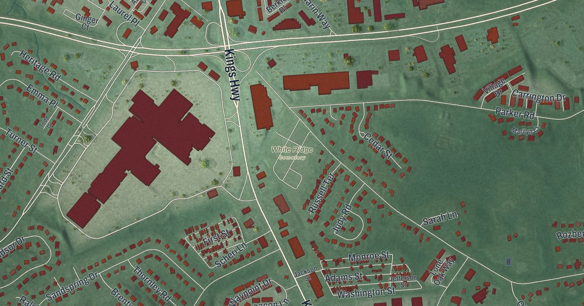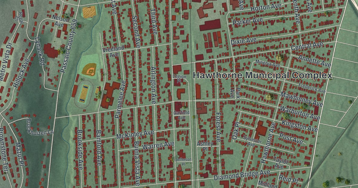
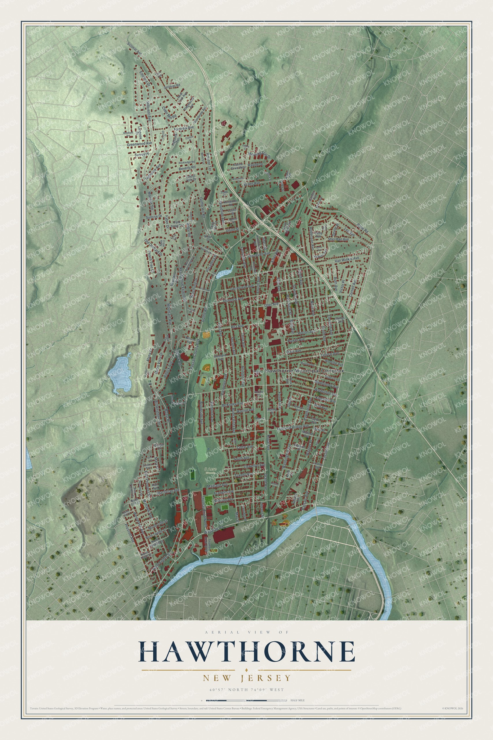
This beautifully detailed map of Hawthorne, New Jersey was created in 2026 using aerial imagery combined with modern topographical, census, street and landmark data. It’s a one-of-a-kind view of Hawthorne that combines accurate data with a vintage aesthetic. The map shows every building in its true location, many of the roads carry their names, and the shaded topographic relief shows the shape of the land.
Explore an aerial view of Hawthorne, New Jersey
On the map you’ll find Hawthorne Municipal Complex, 8 Acre Woods, and Passaic County 659, along with Goffle Road, Lincoln Avenue, Wagaraw Road, Rock Road, Emeline Drive, Lafayette Avenue, Goffle Hill Road, Van Winkle Avenue, Rea Avenue, and more. If you look closely you can even find your house accurately drawn in its correct location. Zoom in on the preview to look for yours.
Did You Know?
Hawthorne was named for the novelist Nathaniel Hawthorne. The New Jersey Legislature created the borough on March 24, 1898. It was carved from part of Manchester Township, which has since been dissolved.
Take a closer look at the Hawthorne map
Names on this map
These names are printed on this map.
Places: Hawthorne Municipal Complex and 8 Acre Woods.
Streets and roads: Goffle Road, Lincoln Avenue, Wagaraw Road, Rock Road, Emeline Drive, Passaic County 659, Lafayette Avenue, Goffle Hill Road, Van Winkle Avenue, Rea Avenue, Warburton Avenue, Diamond Bridge Avenue.
More street names, A to Z
Agnes Court, Alana Drive, Alexandria Avenue, Annette Avenue, Apple Hill Court, Arlington Avenue, Ashley Place, Bamford Avenue, Barker Avenue, Beverly Lane, Beverly Road, Braen Avenue, Brockhuizen Lane, Brookside Avenue, Brownstone Terrace, Buena Vista Avenue, Cathy Avenue, Cedar Avenue, Cedar Place, Central Avenue, Charwalt Drive, Cheryl Hills Drive, Chopin Drive, Cider Mill Road, Clara Avenue, Coolidge Place, Cornell Avenue, Crist Avenue, Debra Court, Deep Volt Court, Devoe Place, Division Street, Dixie Avenue, Dogwood Drive, East Prospect Street, East Sixth Street, Eighth Avenue, Ekings Avenue, Elberon Avenue, Eleventh Avenue, Ethel Avenue, Faber Drive, Fairview Avenue, Fifth Avenue, First Avenue, Florence Avenue, Forest Avenue, Fourth Avenue, Franklin Avenue, Frederick Avenue, Garden Avenue, Garfield Avenue, Genevieve Avenue, Grand Avenue, Grandview Avenue, Greenwood Avenue, Harrison Place, Hawthorne Avenue, Henry Avenue, Highview Avenue, Highview Terrace, Hillcrest Avenue, Hillock Avenue, Hopper Avenue, Horizon Terrace, Horton Avenue, Hutchinson Avenue, Ivan Place, Jefferson Place, Karl Avenue, Kaywin Avenue, Keith Court, Kenwood Road, Kingston Avenue, Laurel Street, Lee Avenue, Legion Place, Lincoln Street, Llewellyn Avenue, Longview Court, Loretto Avenue, Lucille Drive, Lynack Road, Lynne Avenue, Macfarlan Avenue, Maitland Avenue, Mandon Terrace, Mary Street, Mawhinney Avenue, May Street, Mazur Place, McKinley Avenue, Metro Vista Drive, Midland Avenue, Minerva Avenue, Missonellie Court, Mohawk Avenue, Morning Star Drive, Mountain Avenue, Mountain Lane, Nelson Avenue, New York Avenue, Ninth Avenue, Nixon Court, North 13th Street, North 16th Street, North 17th Street, North Eighth Street, North Eleventh Street, North Ethel Avenue, North Tenth Street, North Twelfth Street, North Watchung Avenue, North Watchung Drive, Oak Place, Old Orchard Drive, Orchard Place, Park Avenue, Parker Avenue, Park Slope Terrace, Parmelee Avenue, Pasadena Place, Passaic Avenue, Peach Tree Court, Penney Court, Pokomoke Place, Post Avenue, Prescott Avenue, Prospect Street, Ravine Drive, Ravine Drive West, Rea Avenue Extended, Regal Court, Reid Place, Ridge Road, Ridgewood Avenue, Robertson Avenue, Rockledge Road, Roosevelt Avenue, Royal Avenue, Ruth Avenue, Schoon Avenue, Second Avenue, Seventh Avenue, Sherman Avenue, Short Street, Sicomac Avenue, Sicomac Road, Sixth Avenue, Sotnick Street, South Avenue, Summer Street, Summit Avenue, Sunrise Drive, Surrey Place, Sylvester Avenue, Taylor Avenue, Tenth Avenue, Third Avenue, Thomas Road North, Thomas Road South, Todd Court, Tonia Terrace, Tuxedo Avenue, Union Street, Utter Avenue, Valley Street, Victor Place, Vreeland Avenue, Wagner Place, Warren Avenue, Washington Avenue, Watchung Drive, Westervelt Avenue, West Prospect Street, Woodland Avenue, Woodside Avenue.
See it on a wall
The Hawthorne map as an 18 x 24 inch print in a black frame.

This beautifully detailed map of Hawthorne makes an attractive addition to your office, library, or den, and it can even be used to teach children the geography and history of the area. It also makes a great gift for anyone who grew up in Hawthorne or moved away. When you’re done exploring, click here to get your copy of the Hawthorne map.