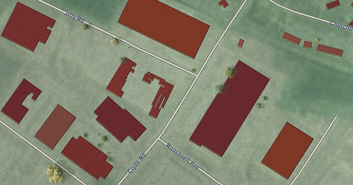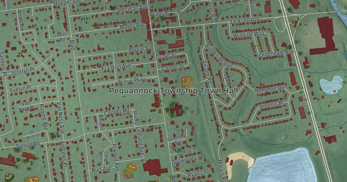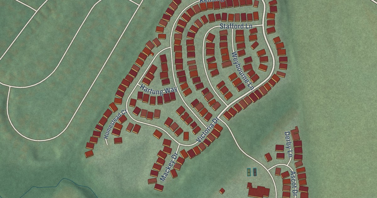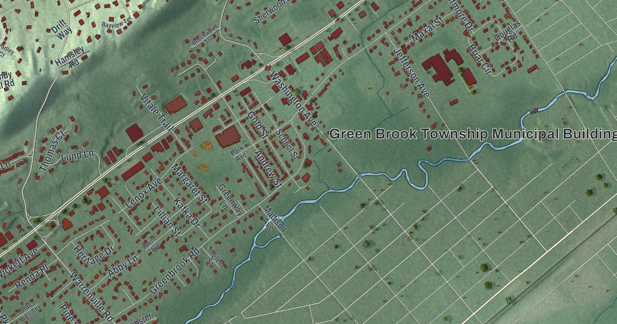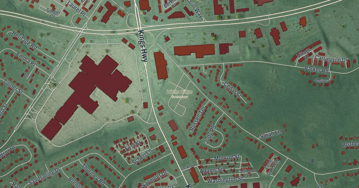
This beautifully detailed map of Eatontown, New Jersey was created in 2026 using aerial imagery combined with modern topographical, census, street and landmark data. It’s a one-of-a-kind view of Eatontown that combines accurate data with a vintage aesthetic. The map shows every building in its true location, many of the roads carry their names, and the shaded topographic relief shows the shape of the land.
Explore an aerial view of Eatontown, New Jersey
On the map you’ll find White Ridge Cemetery, Suneagles Golf Club, and Avenue of Memories, along with Broad Street, Main Street, Kings Highway, Monmouth Road, Frankel Way, Gosselin Avenue, Saltzman Avenue, North Drive, South Street, and more. If you look closely you can even find your house accurately drawn in its correct location. Zoom in on the preview to look for yours.
Did You Know?
Eatontown is named for Thomas Eaton, who surveyed the area in 1670 and built a grist mill. His mill stood in what is now Wampum Lake Park. By 1796 a village with a tannery, a general store and a stagecoach tavern had grown up across from it.
Take a closer look at the Eatontown map
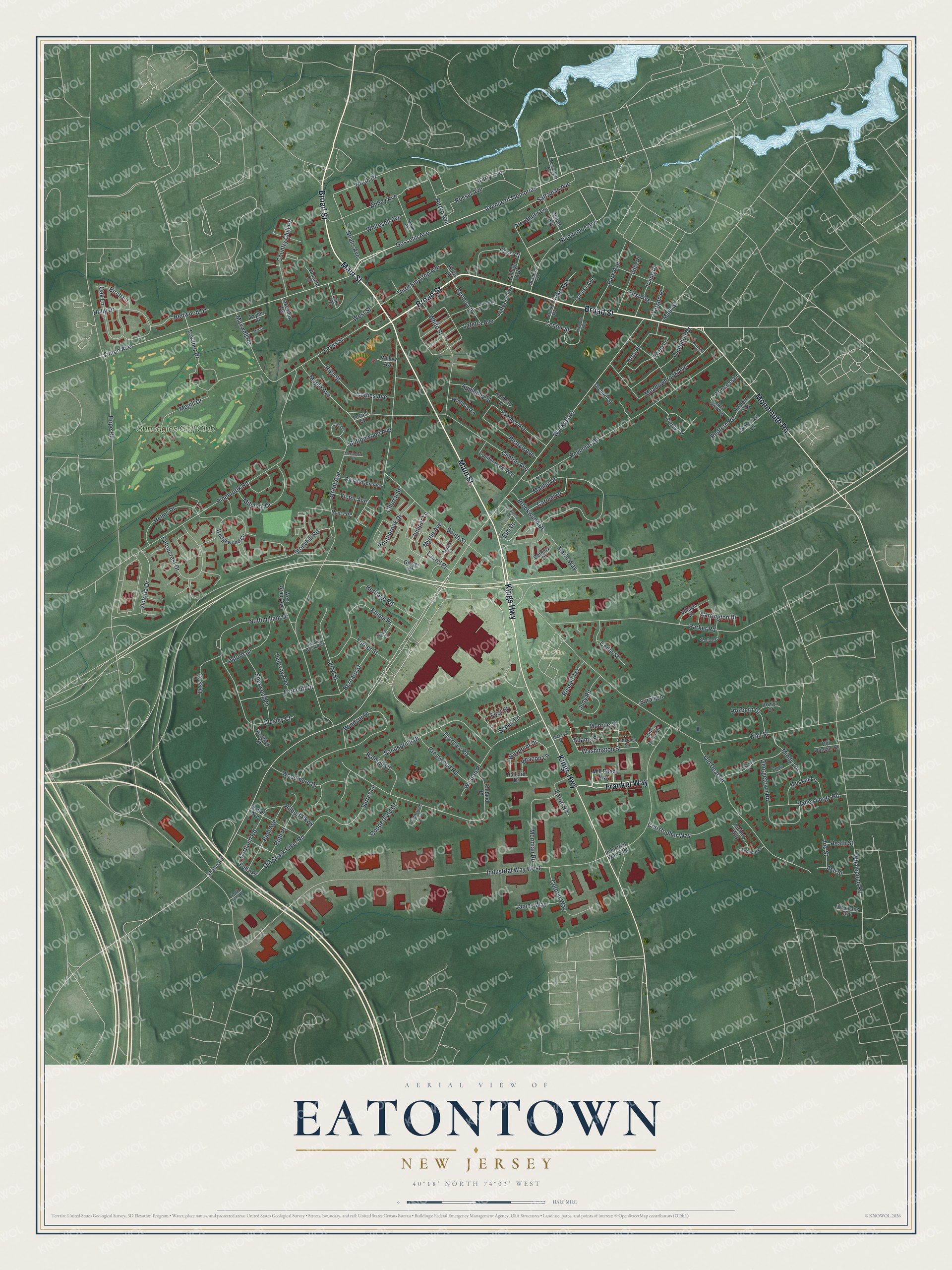
Names on this map
These names are printed on this map.
Places: White Ridge Cemetery and Suneagles Golf Club.
Streets and roads: Broad Street, Main Street, Kings Highway, Monmouth Road, Frankel Way, Avenue of Memories, Gosselin Avenue, Saltzman Avenue, North Drive, South Street, Paul Avenue, Washington Street.
More street names, A to Z
Abbey Avenue, Academy Avenue, Adams Street, Alexander Lane, Alexandria Court, Applebey Street, Ash Street, Azalea Court, Beacon Lane, Benson Place, Berkley Place, Bernard Street, Birch Lane, Brentwood Road, Brook Avenue, Brookwood Drive, Buttonwood Avenue, Byrnes Lane, Campbell Drive, Carmel Drive, Carolyn Court, Carrington Drive, Carty Avenue, Cedar Street, Center Street, Christopher Way, Church Street, Cliffwood Avenue, Clinton Avenue, Cloverdale Avenue, College Avenue, Conifer Crest Way, Copperfield Court, Corbett Way, Corlies Avenue, Cortland Road, Country Club Road, Cypress Drive, Derum Avenue, Eatoncrest Drive, Eaton Road, Elizabeth Parkway, Elm Drive, Emma Place, Eton Place, Evergreen Lane, Fairway Avenue, Farm Lane, Felix Place, Ferncliff Drive, Fieldstone Court, First Avenue, First Street, Georgetown Road, Ginger Court, Grant Avenue, Halliard Drive, Heath Street, Helms Drive, Heritage Road, High Street, Hilbert Parkway, Holly Drive, Holly Glen Way, Hope Road, Industrial Way East, Industrial Way West, Iris Street, Irving Place, Jackson Street, Jamestown Drive, James Way, Jefferson Street, Jeryl Street, Judy Road, Juniper Lane, Kellys Lane, Kingsley Court, Kremer Avenue, Lafetra Avenue, Lake Avenue, Lake Drive, Lakeview Terrace, Laurel Place, Lewis Street, Locust Avenue, Locust Street, Lone Oak Way, Lowther Drive, Malibu Drive, Maple Avenue, Marilyn Court, Marin Way, Maxwell Road, Meadowbrook Avenue, Megill Drive, Meridian Road, Messenger Avenue, Mill Pond Way, Mill Street, Mindy Lane, Mitchell Drive, Monroe Street, Musket Lane, Myrtle Avenue, Nealis Avenue, Nicodemus Avenue, Nottingham Drive, Oak Lane, Old Deal Road, Old Queens Court, Old Shark River Road, Orchard Street, Oxford Lane, Park Avenue, Parker Road, Pearce Avenue, Pinebrook Road, Princess Lane, Raleigh Court, Redfern Road, Redfern Way, Redwood Drive, Reynolds Drive, Richardson Avenue, Rittko Avenue, Rodman Court, Rose Court, Rozbern Drive, Rozlyn Court, Running Brook Avenue, Russel Avenue, Russell Terrace, Ruth Place, Rutland Place, Ryers Place, Sandspring Drive, Sandy Lane, Sarah Lane, Scheri Lane, Shafto Road, Shark River Road, Sherwood Drive, Southbrook Drive, Stirrup Lane, Stonyhill Road, Surrey Lane, Taylor Place, Tess Court, Theodore Drive, Thornley Road, Throckmorton Avenue, Tinton Avenue, Todd Drive, Turner Street, Valley Forge Road, Victor Avenue, Victoria Drive, Village Drive, Villa Place, Violante Court, Wall Street, Walter Avenue, Watson Place, Waypoint Drive, Wedgewood Circle, Wesley Court, West Grant Avenue, Weston Place, West Street, Whalepond Road, Whitesell Avenue, White Street, Willow Avenue, Wilson Avenue, Windsor Drive, Winthrop Lane, Woodmere Drive, Wyckoff Road, Youmans Avenue, Zachary Way.
See it on a wall
The Eatontown map as an 18 x 24 inch print in a black frame.

This beautifully detailed map of Eatontown makes an attractive addition to your office, library, or den, and it can even be used to teach children the geography and history of the area. It also makes a great gift for anyone with Eatontown roots. When you’re done exploring, click here to get your copy of the Eatontown map.