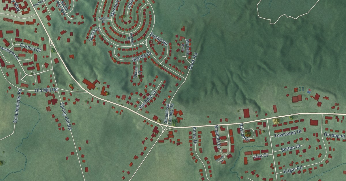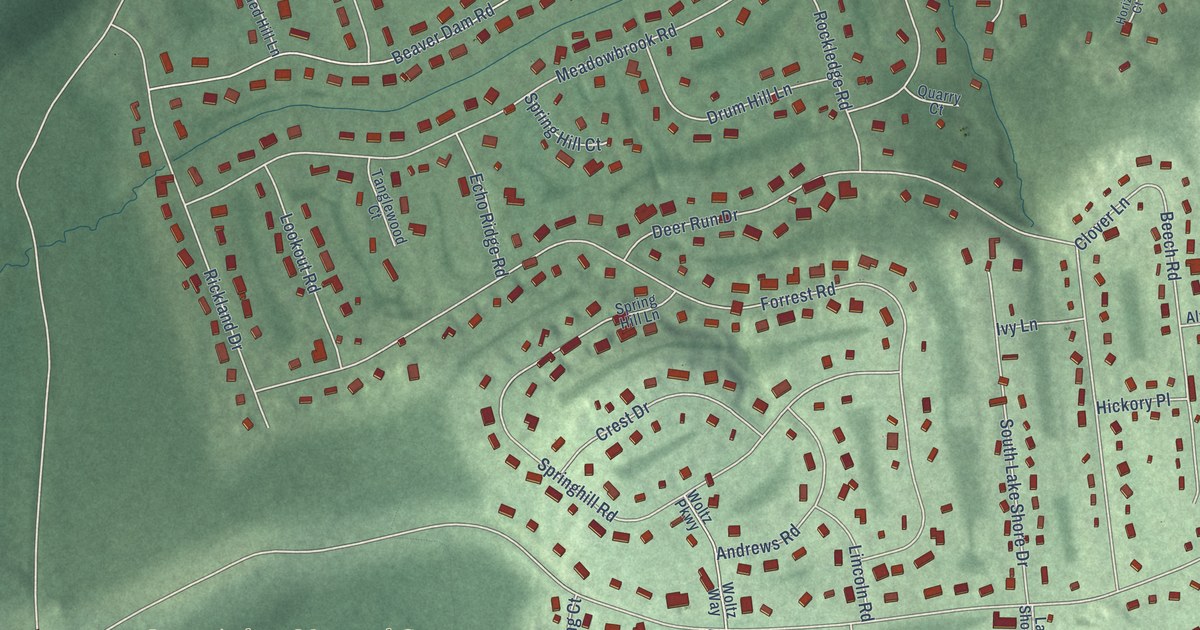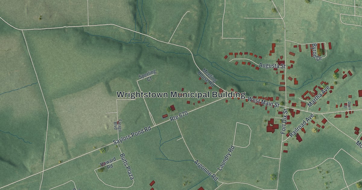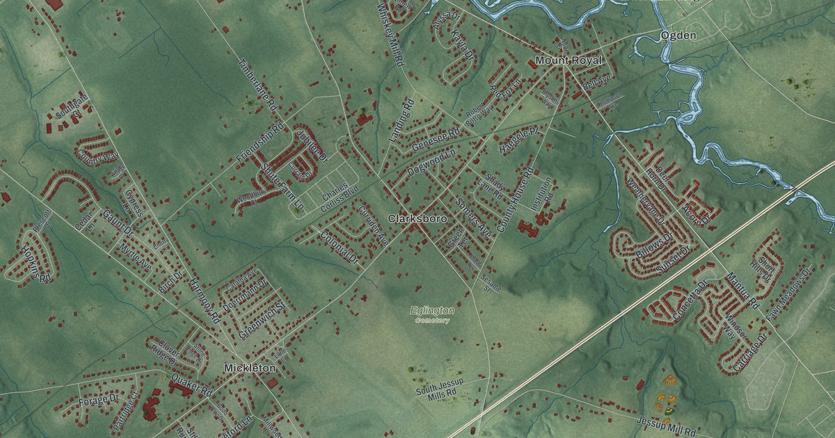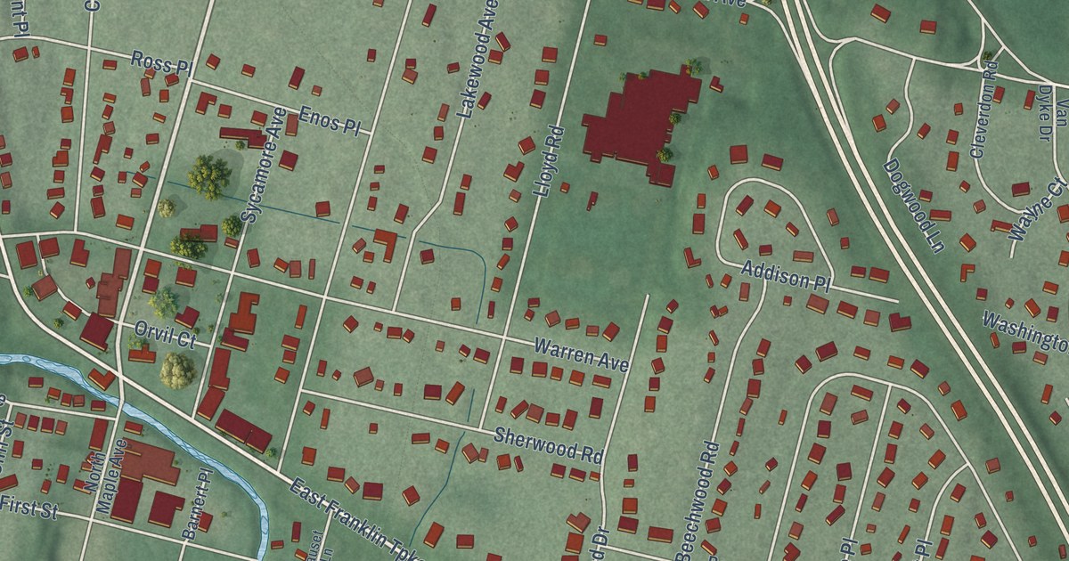
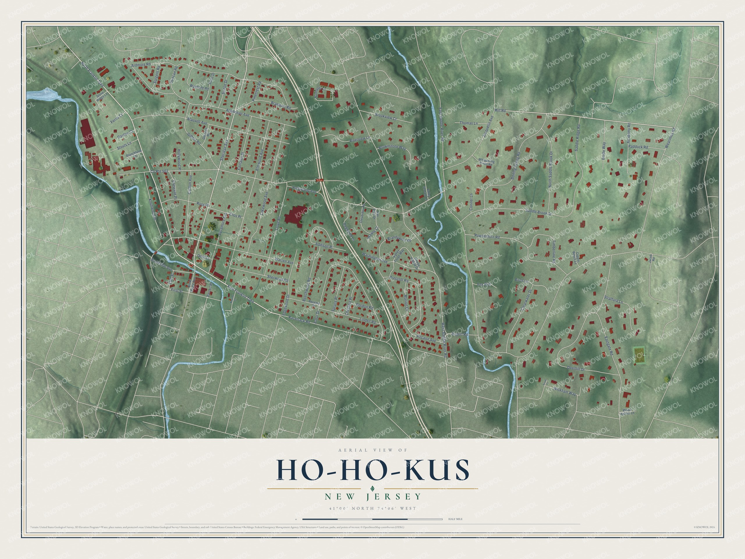
This beautifully detailed map of Ho-Ho-Kus, New Jersey was created in 2026 using aerial imagery combined with modern topographical, census, street and landmark data. It’s a one-of-a-kind view of Ho-Ho-Kus that combines accurate data with a vintage aesthetic. The map shows every building in its true location, many of the roads carry their names, and the shaded topographic relief shows the shape of the land.
Explore an aerial view of Ho-Ho-Kus, New Jersey
On the map you’ll find Brookside Park, along with North Franklin Turnpike, Sheridan Avenue, Mill Road, East Franklin Turnpike, Bogert Road, Hollywood Avenue, East Saddle River Road, Wearimus Road, West Saddle River Road, Deerhill Drive, Ackerman Avenue, and more. If you look closely you can even find your house accurately drawn in its correct location. Zoom in on the preview to look for yours.
Take a closer look at the Ho-Ho-Kus map
Names on this map
These names are printed on this map.
Streets and roads: North Franklin Turnpike, Sheridan Avenue, Mill Road, East Franklin Turnpike, Bogert Road, Hollywood Avenue, East Saddle River Road, County Route 502, Wearimus Road, West Saddle River Road, Deerhill Drive, Ackerman Avenue.
More street names, A to Z
Academy Road, Addison Place, Arbor Drive, Ardmore Road, Arrow Lane, Barnert Place, Beechwood Road, Bernard Place, Birch Lane, Blanchfield Court, Blauvelt Avenue, Boiling Spring Road, Braeburn Road, Brandywine Road, Bridle Way, Brookside Avenue, Brookview Court, Brownstone Way, Carlton Avenue, Chestnut Place, Clearwater Drive, Cleverdon Road, Cliff Street, Conifer Lane, Copper Beech Lane, Crescent Place, Dogwood Lane, Duncan Road, Eastgate Road, Edgewood Drive, Elmwood Avenue, Enos Place, Fairlawn Street, Ferris Court, First Street, Fox Run, Garden Court, Gilbert Road, Glendon Road, Gordon Road, Hollis Drive, Hollywood Place, Jacob Road, Jacquelin Avenue, Knollwood Drive, Lakewood Avenue, Linden Road, Lloyd Road, Marion Court, Nauset Lane, Normandy Court, North Maple Avenue, North Saddle Brook Drive, Orvil Court, Paddock Road, Pinecrest Road, Pitcairn Avenue, Powderhorn Road, Prescott Road, Racetrack Road, Riverview Lane, Ross Place, Saddle Brook Drive, Saddle Ridge Road, Sargent Road, Sherwood Road, Sleepy Hollow Drive, Spruce Place, Stone Ridge Lane, Stouts Lane, Stratford Lane, Sutton Drive, Sycamore Avenue, Thomas Lane, Timberline Road, Valley Forge Way, Valley Stream Lane, Van Dyke Drive, Warren Avenue, Washington Avenue, Wayne Court, Whispering Pines Road, Wickham Way, Wood Hollow Lane, Wyncote Road.
See it on a wall
The Ho-Ho-Kus map as an 18 x 24 inch print in a black frame.

This beautifully detailed map of Ho-Ho-Kus makes an attractive addition to your office, library, or den, and it can even be used to teach children the geography and history of the area. It also makes a great gift for someone who left Ho-Ho-Kus and still calls it home. When you’re done exploring, click here to get your copy of the Ho-Ho-Kus map.