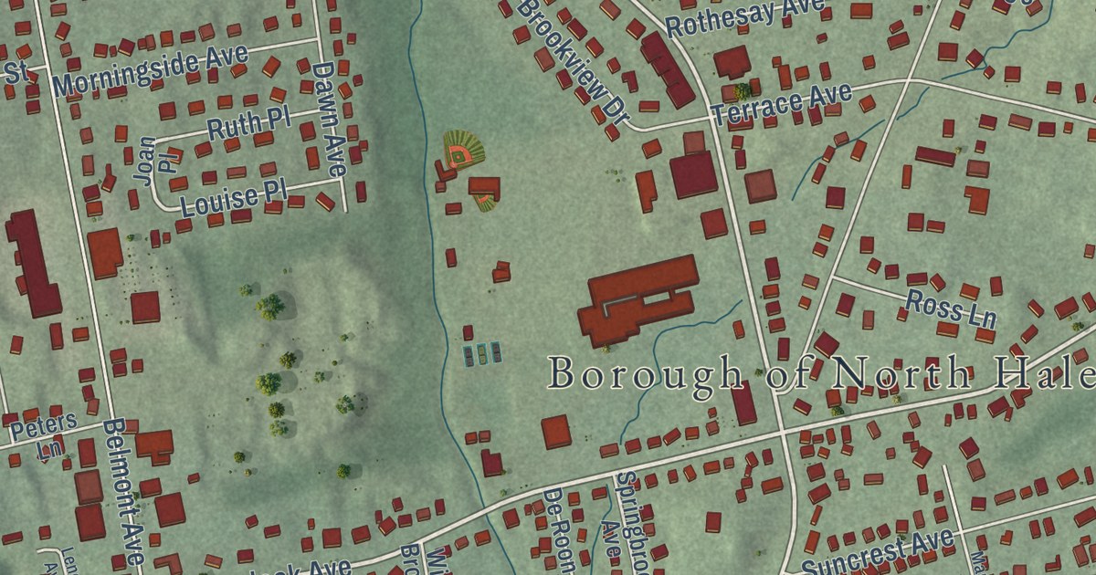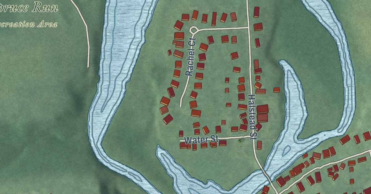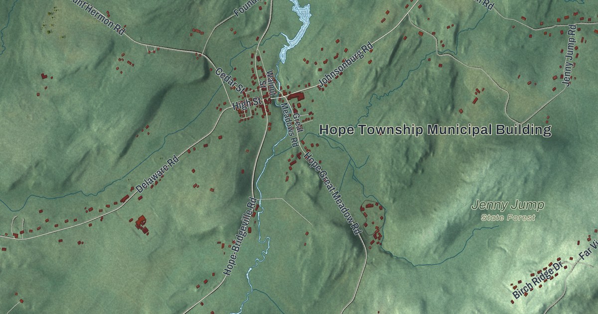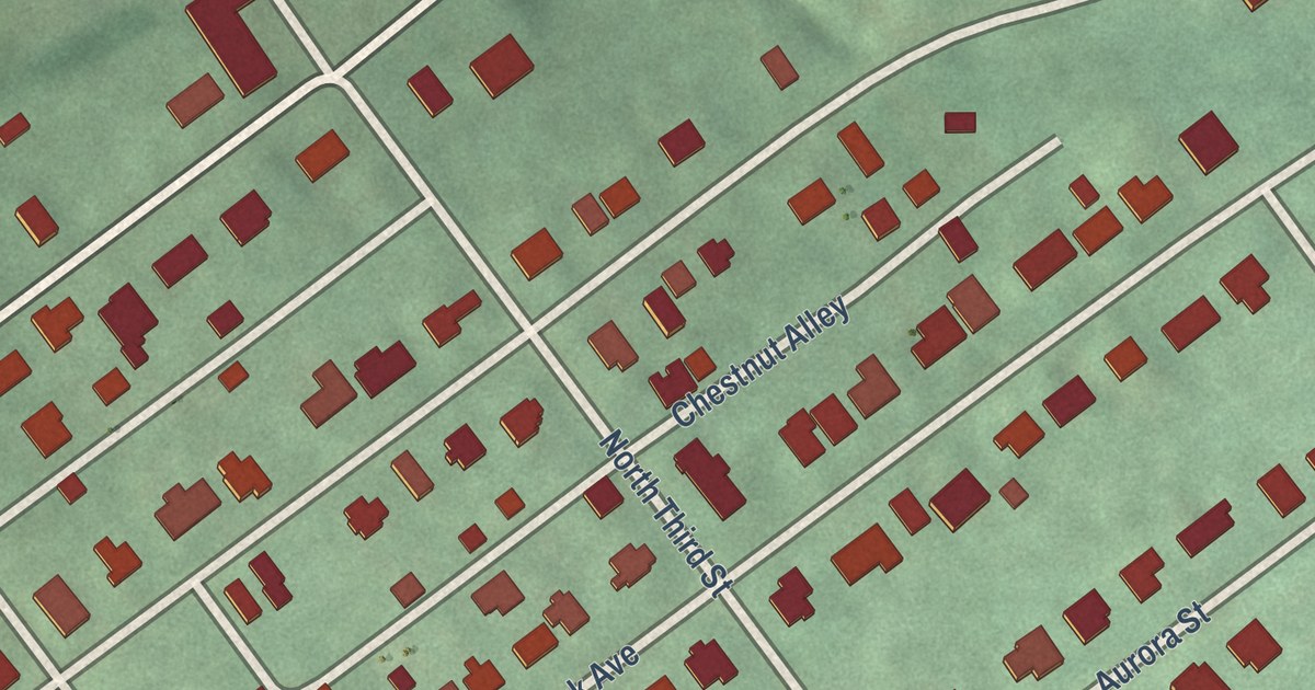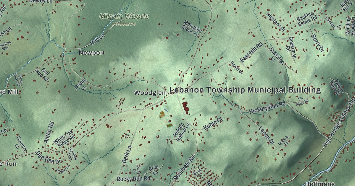
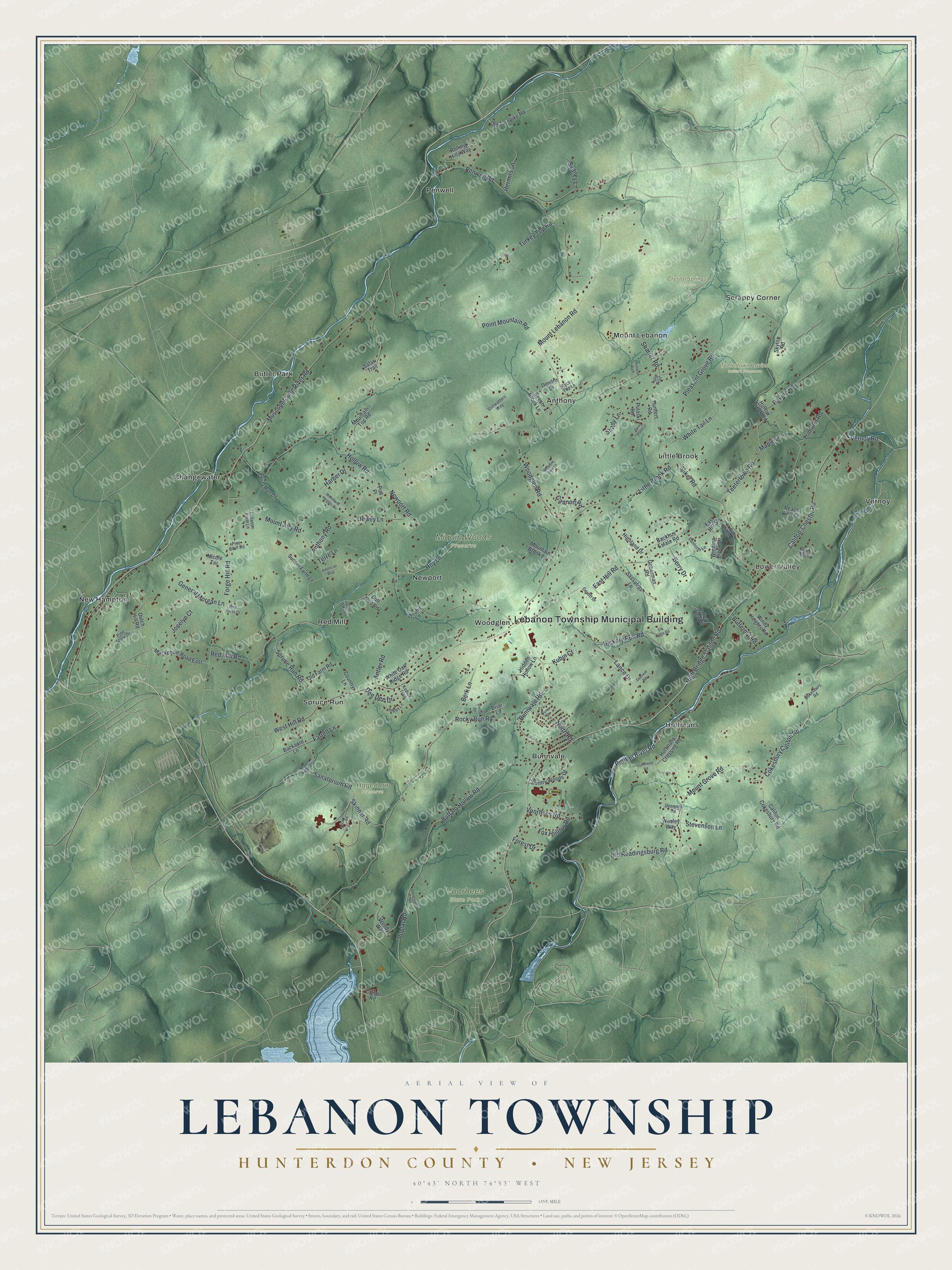
This beautifully detailed map of Lebanon, Hunterdon County, New Jersey was created in 2026 using aerial imagery combined with modern topographical, census, street and landmark data. It’s a one-of-a-kind view of Lebanon that combines accurate data with a vintage aesthetic. The map shows every building in its true location, many of the roads carry their names, and the shaded topographic relief shows the shape of the land.
Explore an aerial view of Lebanon, Hunterdon County, New Jersey
On the map you’ll find Lebanon Township Municipal Building, Crystal Springs Preserve, Hagedorn Preserve, Miquin Woods Preserve, Teetertown Ravine Nature Preserve, Voorhees State Park, Anthony, Bunnvale, Butler Park, Changewater, Hoffmans, Little Brook, and more. If you look closely you can even find your house accurately drawn in its correct location. Zoom in on the preview to look for yours.
Take a closer look at the Lebanon, Hunterdon County map
Names on this map
These names are printed on this map.
Places: Lebanon Township Municipal Building, Crystal Springs Preserve, Hagedorn Preserve, Miquin Woods Preserve, Teetertown Ravine Nature Preserve, Voorhees State Park, Lower Valley, Changewater, New Hampton, Penwell, Anthony, Butler Park, Red Mill, Hoffmans, Vernoy, Bunnvale, Little Brook, Spruce Run, Mount Lebanon, Newport, Scrappy Corner and Woodglen.
Streets and roads: High Bridge-Califon Road, Vernoy Road, Raritan River Road, Cokesbury Califon Road, Mount Lebanon Road, Bunnvale Road, Musconetcong River Road, Anthony Road, Red Mill Road, Rocky Run Road, Buffalo Hollow Road, West Hill Road.
More street names, A to Z
American Way, Antler Road, Backacre Lane, Backhus Estate Road, Beech Brook Lane, Berk Lane, Berry Drive, Briar Lane, Bull Run Road, Bunn Street, Butternut Road, Califon-Chester Road, Califon Cokesbury Road, Cannon Road, Cokesbury Road, Country Lane, Country Woods Drive, Cregar Road, Danforth Lane, Dan Ly Way Road, Dee Dee Drive, Deerpath Road, Derry Run Lane, Dewey Lane, Dewitt Drive, Dimitra Drive, Doefield Road, Dutch Hill Road, East Hill Road, East Hill Street, Edna Volpe Road, Elk Ridge Road, Farrell Lane, Forest Drive, Forge Hill Road, Fox Hollow Road, General Morgan Lane, Goberman Road, Green Oaks Road, Harber Drive, Hermits Lane, Hickory Run Road, Hidden Hollow Lane, Highland Drive, Hoffmans Crossing Road, Hollow Brook Road, Hollow Road, Hoy Lane, Hunters Road, Jeffrey Lane, Jocelyn Court, King James Court, Kodiak Trail, Kubin Court, Lance Drive, Lebanon Farm Lane, Little Brook Road, Lockheed Road, Mackenzie Road East, Maple Lane, Meadow View Lane, Mountain Brook Lane, Mountain Top Road, Mount Airy Road, Mount Grove Road, Mount Kipp Road, Newport Road, Nicole Terrace, North Road, Observatory Road, Old Farm Road, Old Readingsburg Road, Old Turnpike Road, Onahil Lane, Peach View Lane, Penwell Road, Percy Drive, Pine Bluff Road, Pine Ridge Road, Pine Stone Drive, Pleasant Grove Road, Point Mountain Road, Polt Place, Poplar Road, Primose Path, Pulaski Road, Ravine Road, Rocky Top Lane, Rolling Hills Way, Safari Trail, Sanatorium Road, Sassafras Lane, Shady Lane, Sharrer Road, Skinner Road, Skytop Road, Sliker Road, Spruce Run Road, Stevenson Lane, Stillwatters Way, Sunset Farm Lane, Sydney Lane, Teetertown Road, Terre Lane, Three Pond Lane, Trimmer Road, Tulip Trail, Turkey Top Road, Valley View Drive, Voorhees Road, Wendy Way, Wesley Way, White Oak Ridge Road, White Tail Lane, Winding Brook Lane, Windy Heights Road, Woodglen Road, Woodland Heights Circle.
See it on a wall
The Lebanon Township, Hunterdon County map as an 18 x 24 inch print in a black frame.

This beautifully detailed map of Lebanon, Hunterdon County makes an attractive addition to your office, library, or den, and it can even be used to teach children the geography and history of the area. It also makes a great gift for anyone with Lebanon roots. When you’re done exploring, click here to get your copy of the Lebanon, Hunterdon County map.