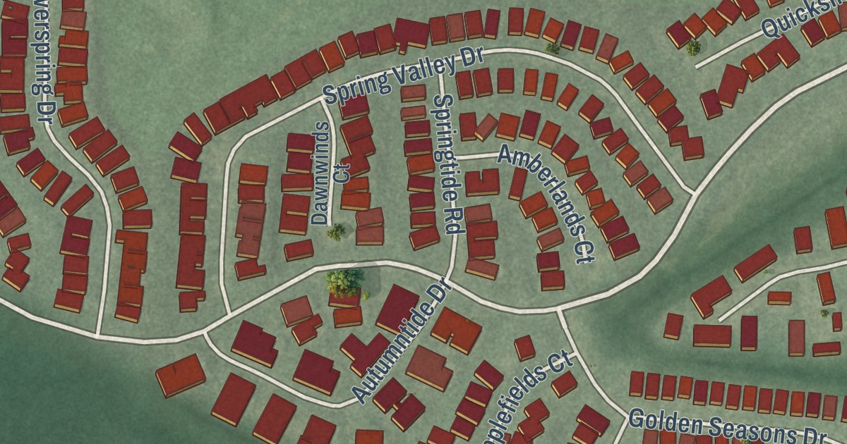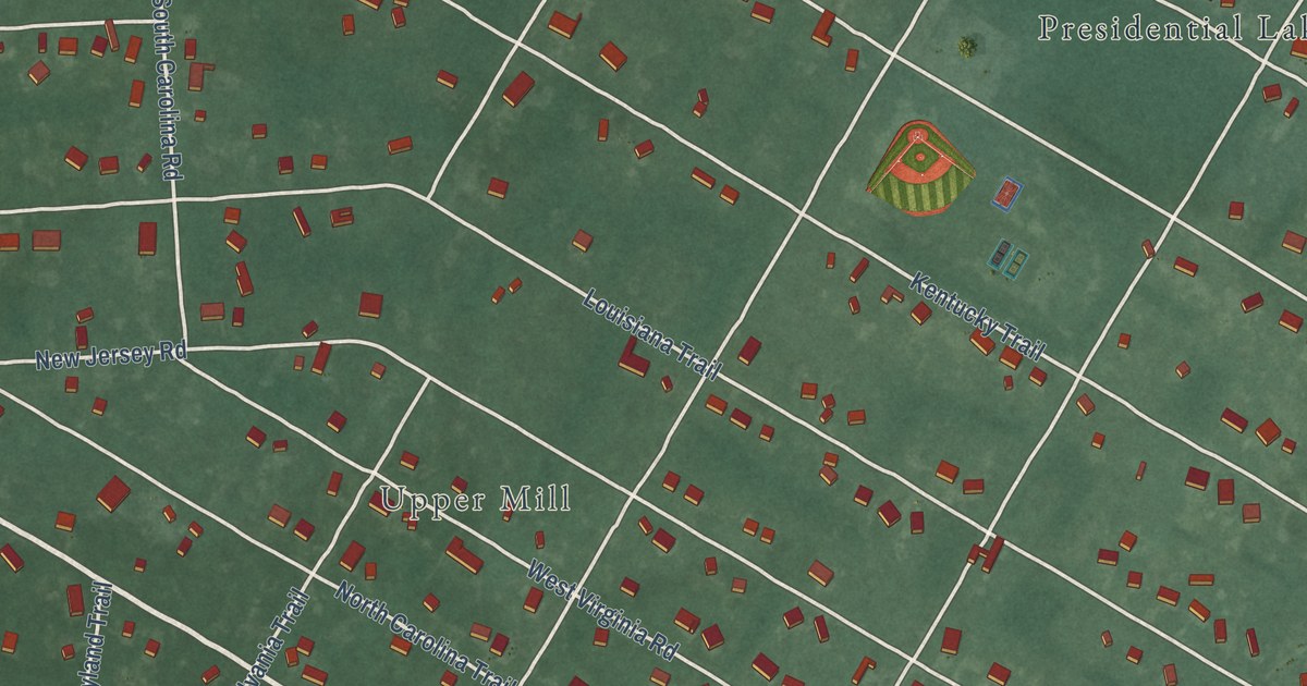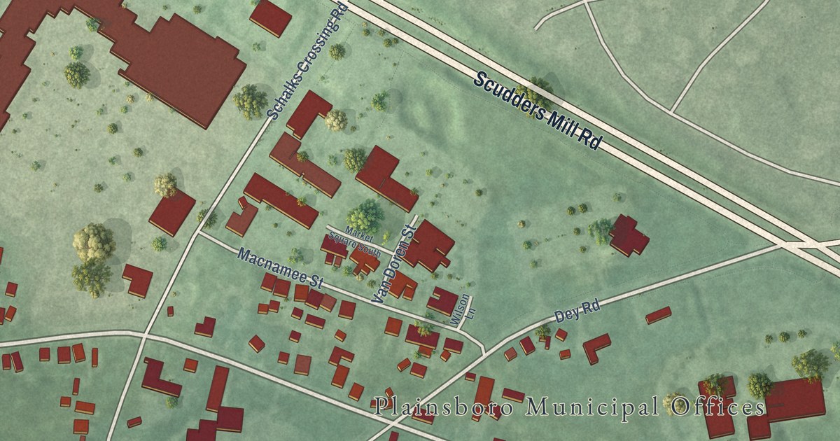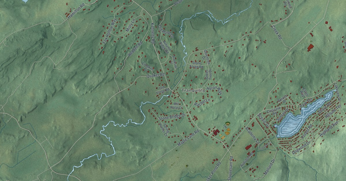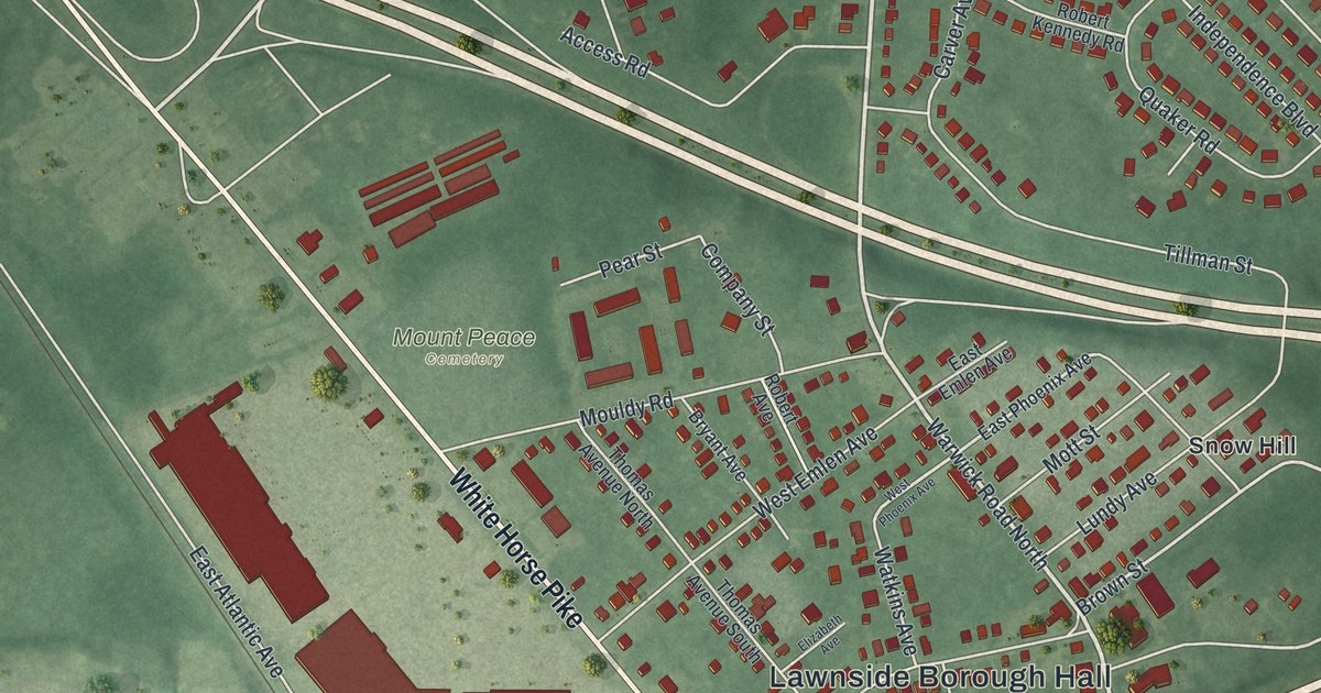
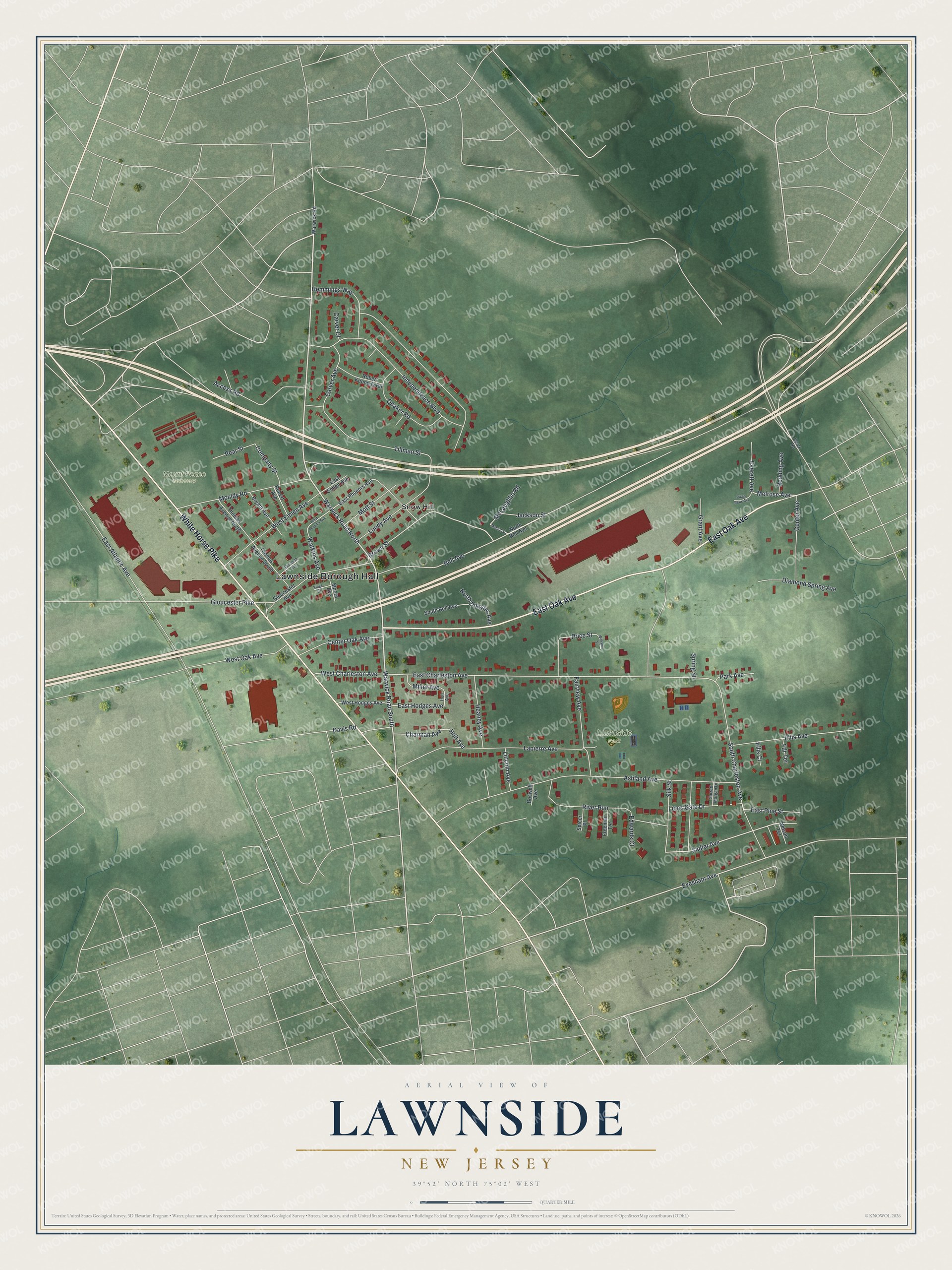
This beautifully detailed map of Lawnside, New Jersey was created in 2026 using aerial imagery combined with modern topographical, census, street and landmark data. It’s a one-of-a-kind view of Lawnside that combines accurate data with a vintage aesthetic. The map shows every building in its true location, many of the roads carry their names, and the shaded topographic relief shows the shape of the land.
Explore an aerial view of Lawnside, New Jersey
On the map you’ll find Lawnside Borough Hall, Lawnside Park, Mount Peace Cemetery, and Snow Hill, along with East Oak Avenue, White Horse Pike, Warwick Road North, Warwick Road South, Evesham Avenue, Charman Avenue, Melrose Avenue, Tillman Street, and more. If you look closely you can even find your house accurately drawn in its correct location. Zoom in on the preview to look for yours.
Did You Know?
Lawnside was first called Free Haven, because the settlement was a stop on several Underground Railroad routes. In 1840 abolitionists bought land here and sold cheap lots to African Americans. In 1926 it became the first independent, self-governing Black town north of the Mason-Dixon line.
Take a closer look at the Lawnside map
Names on this map
These names are printed on this map.
Places: Lawnside Borough Hall, Lawnside Park, Mount Peace Cemetery and Snow Hill.
Streets and roads: East Oak Avenue, White Horse Pike, Warwick Road North, Warwick Road South, Evesham Avenue, Charman Avenue, Melrose Avenue, Tillman Street, Sadler Avenue, Brown Street, Bell Avenue, Gloucester Pike.
More street names, A to Z
Access Road, Ashland Avenue, Boswell Avenue, Bryant Avenue, Carver Avenue, Carver Court, Center Avenue, Center Oak Avenue, Company Street, Davis Road, Diamond Spring Avenue, East Atlantic Avenue, East Charleston Avenue, East Emlen Avenue, East Hodges Avenue, East Phoenix Avenue, East Pine Street, Edwards Court, Elizabeth Avenue, Ellis Avenue, Ellis Court, Essex Road, Everett Avenue, Fairview Avenue, Fdr Terrace, Freeman Terrace, Garrett Morgan Drive, Gloucester Avenue, Grant Avenue, Heaney Avenue, Hemmings Way, Holl Avenue, Holt Avenue, Independence Boulevard, Jackson Street, Kings Court, Lapierre Avenue, Lincoln Avenue, Lions Gate Drive, Lundy Avenue, Manliff Street, McLaughlin Road, Miller Avenue, Moore Avenue, Mott Street, Mouldy Road, Nelson Terrace, North Bell Avenue, North Douglas Avenue, Park Avenue, Pear Street, Pikes Peak Avenue, Price Street, Quaker Road, Redding Avenue, River Run, Robert Avenue, Robert Kennedy Road, Silk Street, South Bell Avenue, South Charleston Avenue, Spicer Place, Spring Street, Thomas Avenue North, Thomas Avenue South, Warwick Road, Watkins Avenue, West Charleston Avenue, West Emlen Avenue, West Hodges Avenue, West Oak Avenue, West Phoenix Avenue, Williams Street.
See it on a wall
The Lawnside map as an 18 x 24 inch print in a black frame.

This beautifully detailed map of Lawnside makes an attractive addition to your office, library, or den, and it can even be used to teach children the geography and history of the area. It also makes a great gift for anyone with Lawnside roots. When you’re done exploring, click here to get your copy of the Lawnside map.