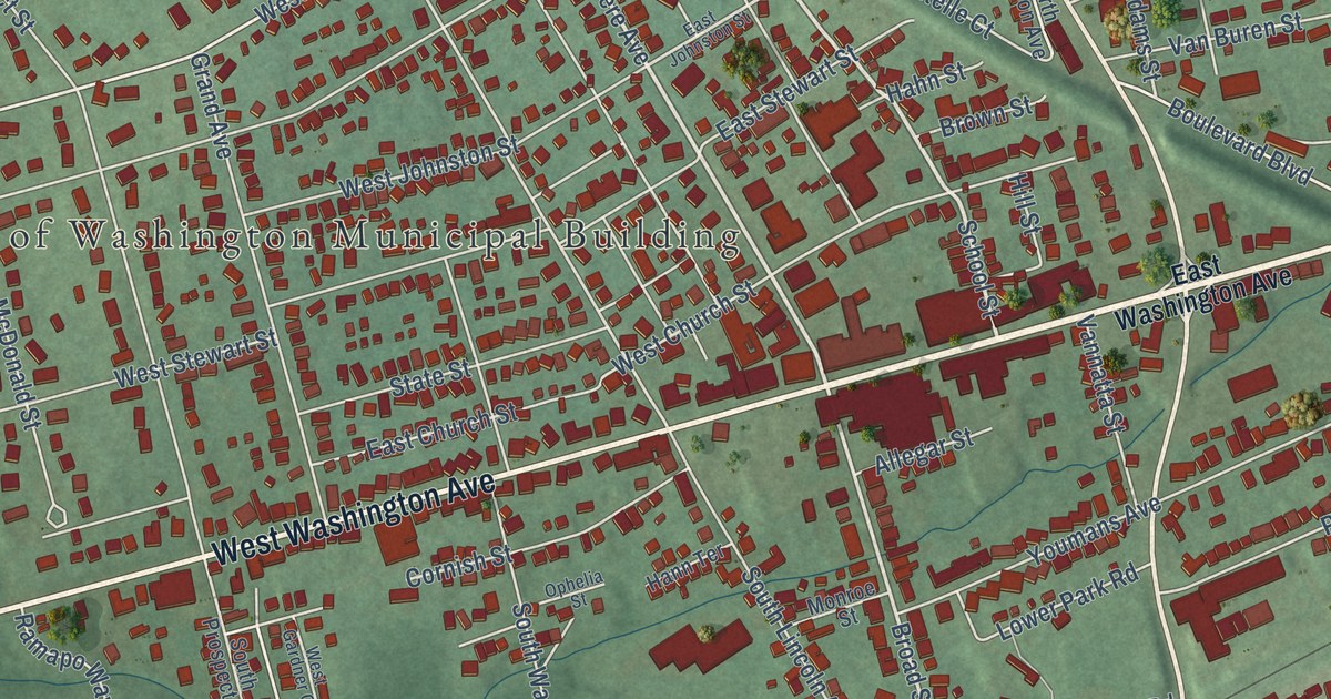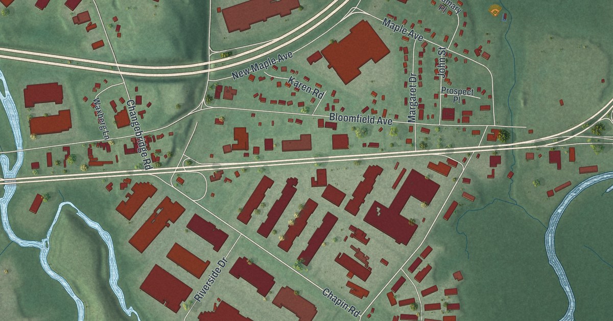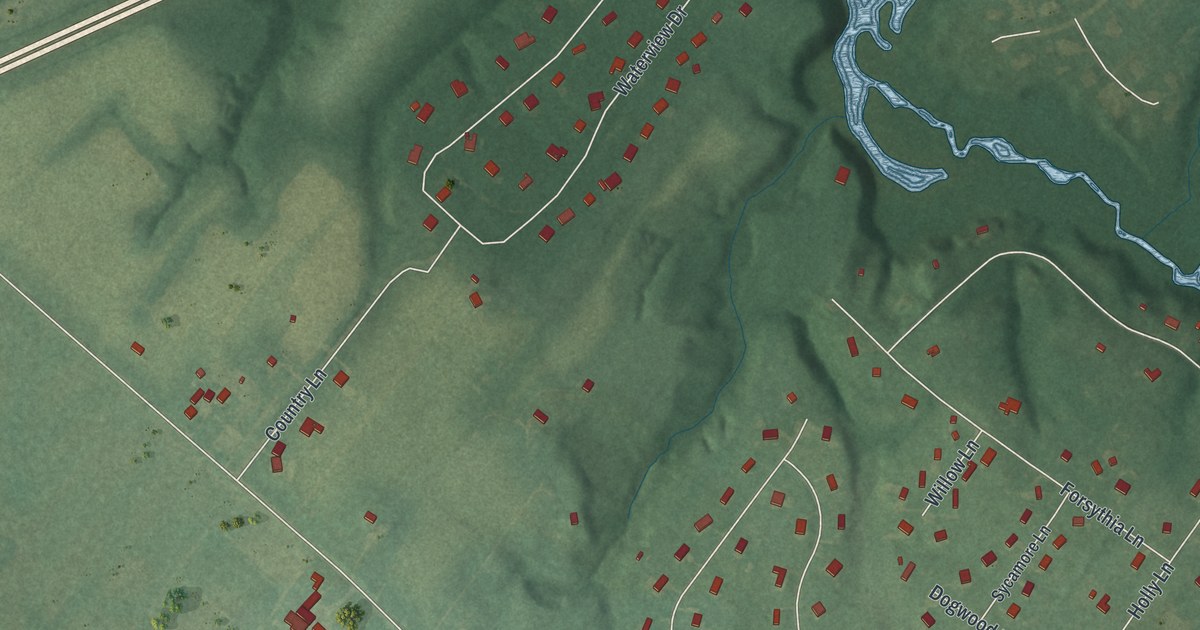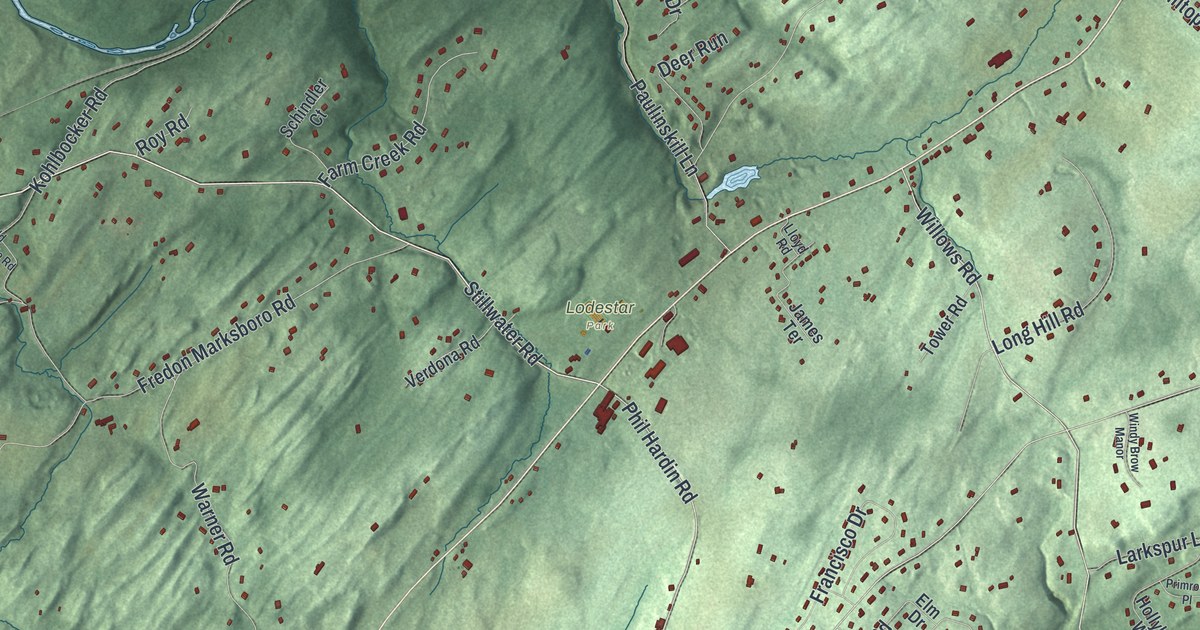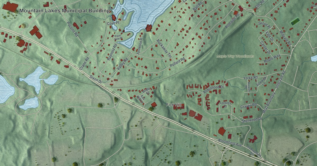
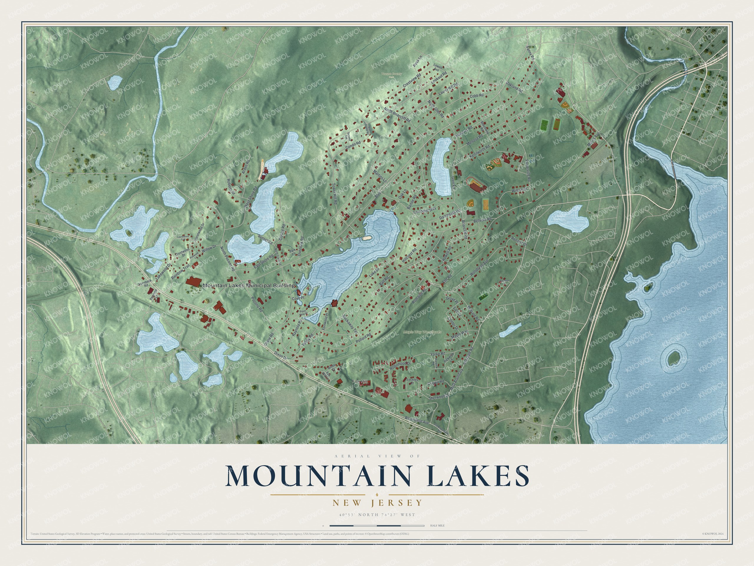
This beautifully detailed map of Mountain Lakes, New Jersey was created in 2026 using aerial imagery combined with modern topographical, census, street and landmark data. It’s a one-of-a-kind view of Mountain Lakes that combines accurate data with a vintage aesthetic. The map shows every building in its true location, many of the roads carry their names, and the shaded topographic relief shows the shape of the land.
Explore an aerial view of Mountain Lakes, New Jersey
On the map you’ll find Mountain Lakes Municipal Building, Fox Hill, and Tourne County Park, along with Intervale Road, Fanny Road, Bloomfield Avenue, Pocono Road, and more. If you look closely you can even find your house accurately drawn in its correct location. Zoom in on the preview to look for yours.
Did You Know?
Herbert Hapgood founded Mountain Lakes in 1910 as a planned community. The first resident was Lawrence W. Luellen, the inventor of the Dixie Cup, who moved in during March 1911. By 1923, about six hundred Hapgood houses stood here. The borough became its own municipality in 1924.
Take a closer look at the Mountain Lakes map
Names on this map
These names are printed on this map.
Places: Mountain Lakes Municipal Building, Fox Hill, Maple Way Woodlands and Tourne County Park.
Streets and roads: Intervale Road, Fanny Road, Boulevard, Bloomfield Avenue, North Pocono Road, Pocono Road, Rock Lane, North Glen Road, Lakewood Drive, Morris Avenue, Laurel Hill Road, Lake Drive.
More street names, A to Z
Arden Road, Ball Road, Barton Road, Beechway Road, Bellvale Road, Briarcliff Road, Bridle Court, Center Drive, Cobb Road, Condit Road, Cove Place, Crane Road, Craven Road, Crestview Road, Crestwood Drive, Crystal Road, Dartmouth Road, Dixon Drive, East Shore Road, Elm Road, Fernwood Place, Fox Hill Lane, Glen Road, Grove Place, Hanover Road, Hillcrest Road, Hornbeck Road, Howell Road, Kenilworth Road, Larchdell Way, Laurelwood Drive, Laurelwood Trail, Lockley Court, Lookout Road, Lowell Avenue, Maple Way, Martins Lane, McD Boundary, Melrose Road, Midvale Road, North Briarcliff Road, North Crane Road, Oakland Road, Oak Lane, Old Bloomfield Avenue, Overlook Road, Park Lane, Peartree Lane, Pickwick Lane, Pinewood Lane, Point View Place, Pollard Road, Powerville Road, Rainbow Trail, Raynold Road, Roberts Drive, Robinhood Drive, Rockaway Terrace, Romaine Road, Ronarm Drive, Sherwood Drive, Stonewall Lane, Summit Avenue, Sunset Road, Tower Hill Road, Vale Drive, Valley Road, Van Duyne Road, Warwick Road, West Shore Road, Wilcox Drive, Willow Drive, Woodland Avenue, Yorke Road.
See it on a wall
The Mountain Lakes map as an 18 x 24 inch print in a black frame.

This beautifully detailed map of Mountain Lakes makes an attractive addition to your office, library, or den, and it can even be used to teach children the geography and history of the area. It also makes a great gift for anyone with Mountain Lakes roots. When you’re done exploring, click here to get your copy of the Mountain Lakes map.