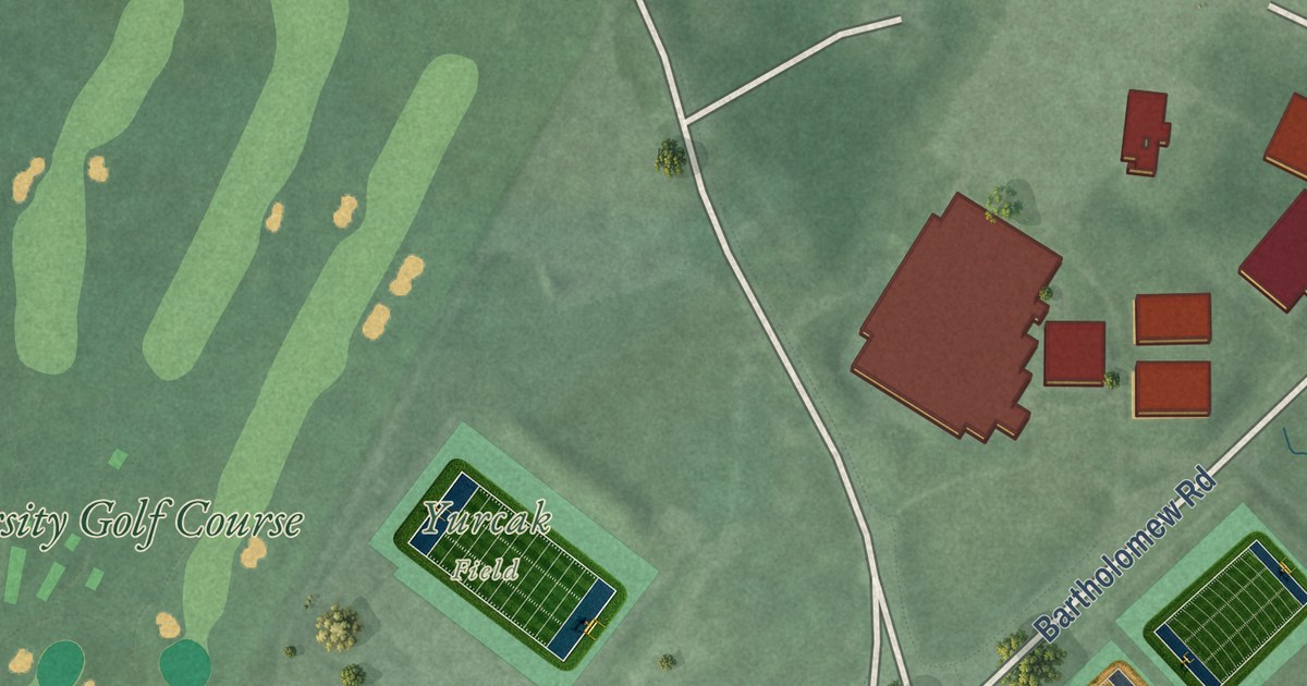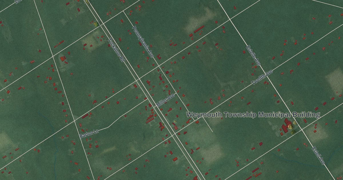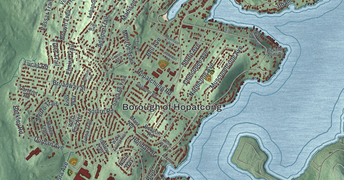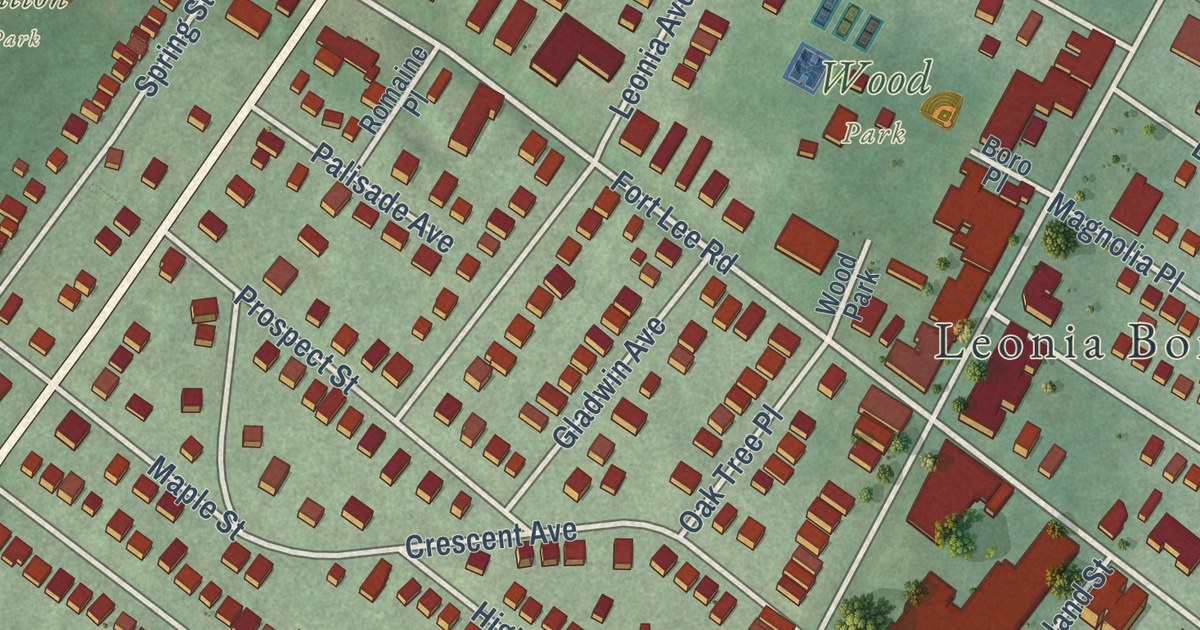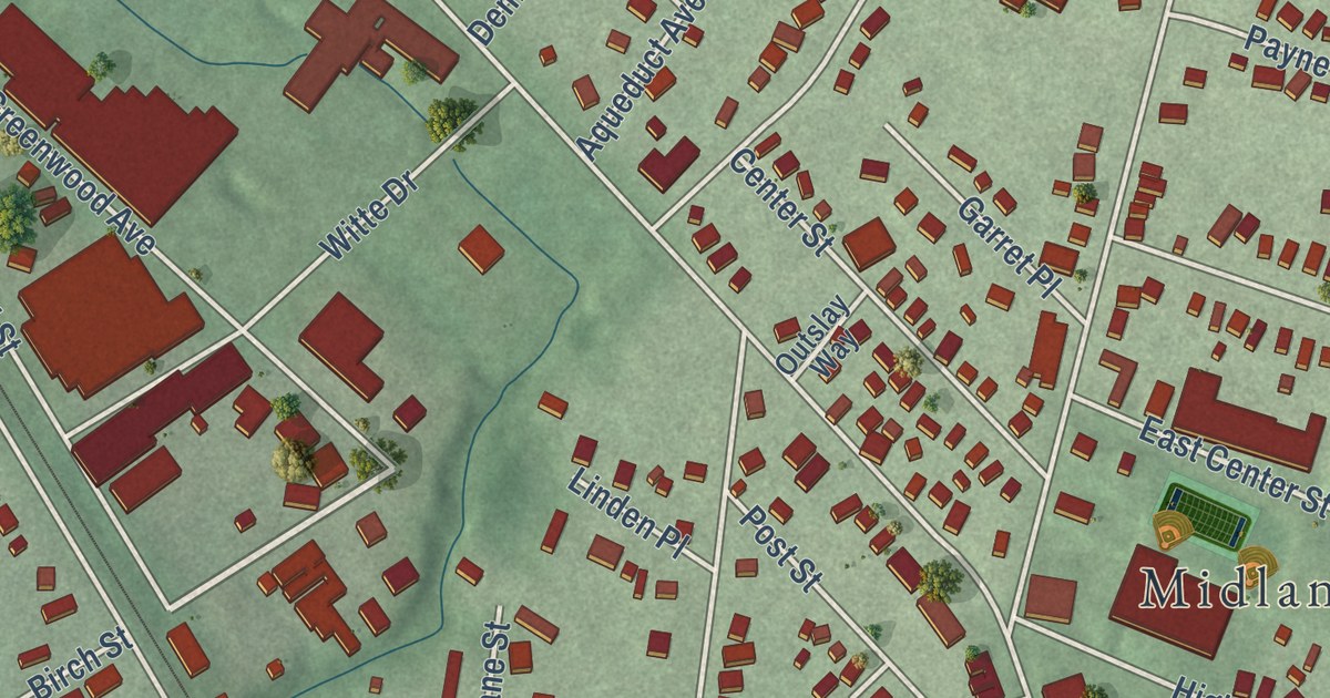
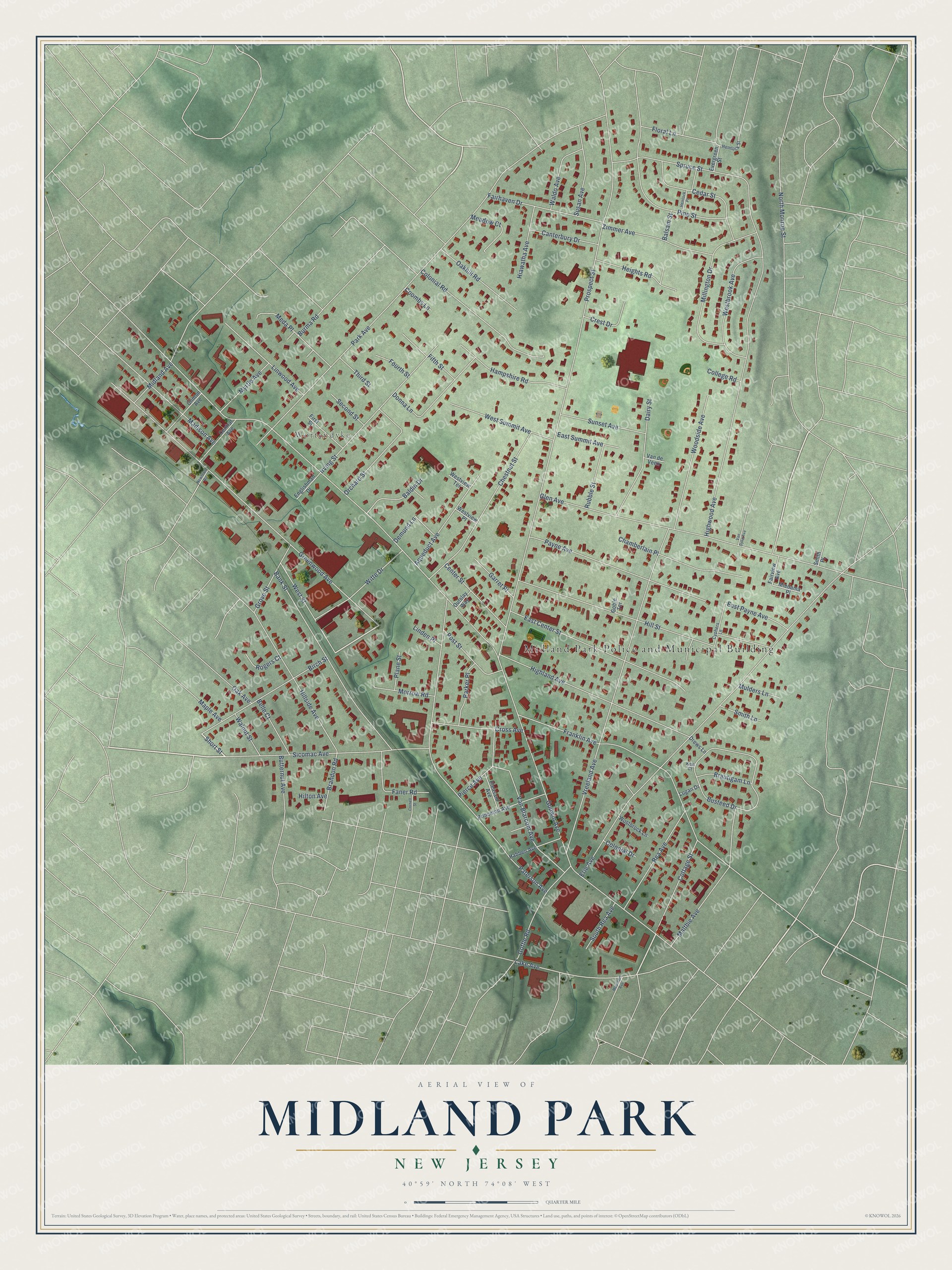
This beautifully detailed map of Midland Park, New Jersey was created in 2026 using aerial imagery combined with modern topographical, census, street and landmark data. It’s a one-of-a-kind view of Midland Park that combines accurate data with a vintage aesthetic. The map shows every building in its true location, many of the roads carry their names, and the shaded topographic relief shows the shape of the land.
Explore an aerial view of Midland Park, New Jersey
On the map you’ll find Midland Park Police and Municipal Building and Wortendyke, along with Short Street, Birch Street, Cottage Street, Godwin Avenue, and more. If you look closely you can even find your house accurately drawn in its correct location. Zoom in on the preview to look for yours.
Did You Know?
Wortendyke, a community inside Midland Park, grew up around mills on Goffle Brook. Cornelius Wortendyke opened a cotton mill there in 1812. In 1875 his grandson enlarged it and added the largest silk mill in New Jersey. More than 500 people worked in the mills, and many had come over from the Netherlands.
Take a closer look at the Midland Park map
Names on this map
These names are printed on this map.
Places: Midland Park Police and Municipal Building and Wortendyke.
Streets and roads: Short Street, Birch Street, Cottage Street, Godwin Avenue, Prospect Street, Park Avenue, Erie Avenue, Greenwood Avenue, Spruce Street, Vreeland Avenue, Paterson Avenue, Glen Avenue.
More street names, A to Z
Aqueduct Avenue, Baldin Drive, Balsam Street, Bank Street, Belle Court, Brandon Road, Brautigam Lane, Burma Road, Busteed Drive, Butternut Avenue, Canterbury Drive, Cedar Street, Center Street, Central Avenue, Chamberlain Place, Chestnut Street, Clinton Avenue, College Road, Colonial Drive, Colonial Road, Coombs Lane, Cornell Street, Crest Drive, Cross Avenue, Cyphers Lane, Dairy Street, Demund Lane, Donna Lane, Drews Lane, East Center Street, East Payne Avenue, East Summit Avenue, Englishman Drive, Evergreen Street, Fairhaven Drive, Fairview Avenue, Faner Road, Fifth Street, First Street, Floral Lane, Fourth Street, Franklin Avenue, Garret Place, Goble Terrace, Goffle Road, Grove Street, Habben Avenue, Hampshire Road, Heights Road, Hemlock Place, Hemlock Street, Hiawatha Avenue, Highland Avenue, Highwood Avenue, Hillside Avenue, Hill Street, Hilton Avenue, Irving Street, Kew Court, Lake Avenue, Linden Place, Linwood Avenue, Logan Drive, Madison Avenue, Maltbie Avenue, Maple Avenue, Meadow Court, Meda Place, Midland Avenue, Miedama Place, Millington Drive, Morrow Road, Mountain Avenue, Mulders Lane, Myrtle Avenue, Newtown Road, North Monroe Street, Oak Avenue, Oakhill Road, Orchard Street, Outslay Way, Parker Place, Payne Avenue, Pierce Avenue, Pine Street, Plane Street, Pleasant Avenue, Post Street, Princeton Avenue, Rea Avenue, Rogers Court, Rubble Street, Second Street, Sicomac Avenue, Smith Lane, Smith Place, South Rea Avenue, Sunset Avenue, Susan Avenue, Third Street, Van Blarcom Avenue, Van de Veen, Van Dyke Avenue, Waldo Avenue, Walnut Street, Westbrook Avenue, West Street, West Summit Avenue, Westview Place, Westview Terrace, Witte Drive, Woodside Avenue, Wostbrock Lane, Zimmer Avenue.
See it on a wall
The Midland Park map as an 18 x 24 inch print in a black frame.

This beautifully detailed map of Midland Park makes an attractive addition to your office, library, or den, and it can even be used to teach children the geography and history of the area. It also makes a great gift for anyone with Midland Park roots. When you’re done exploring, click here to get your copy of the Midland Park map.