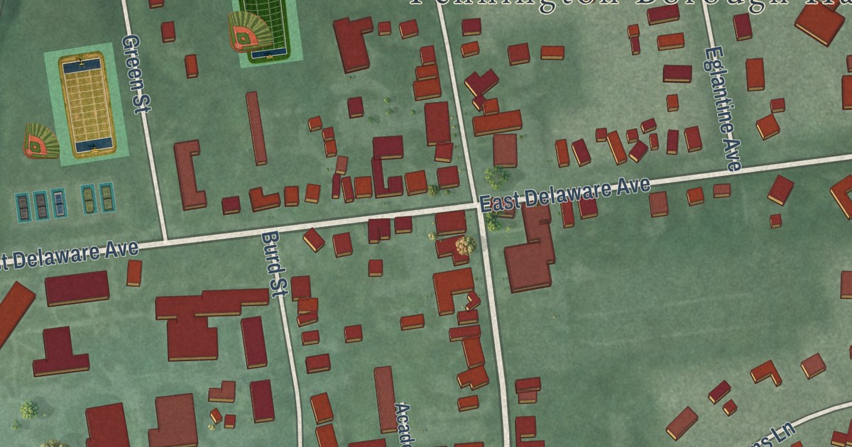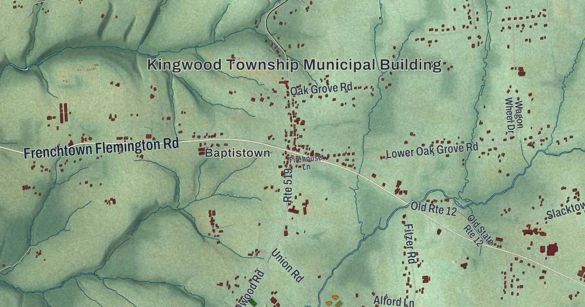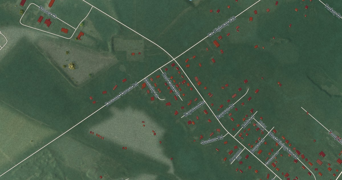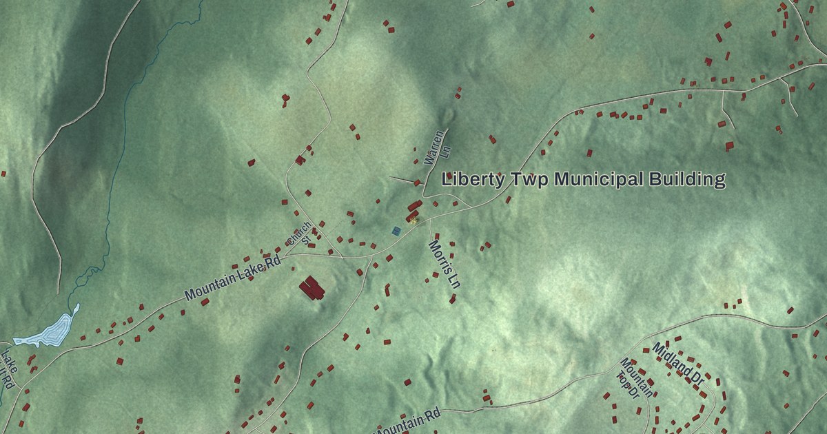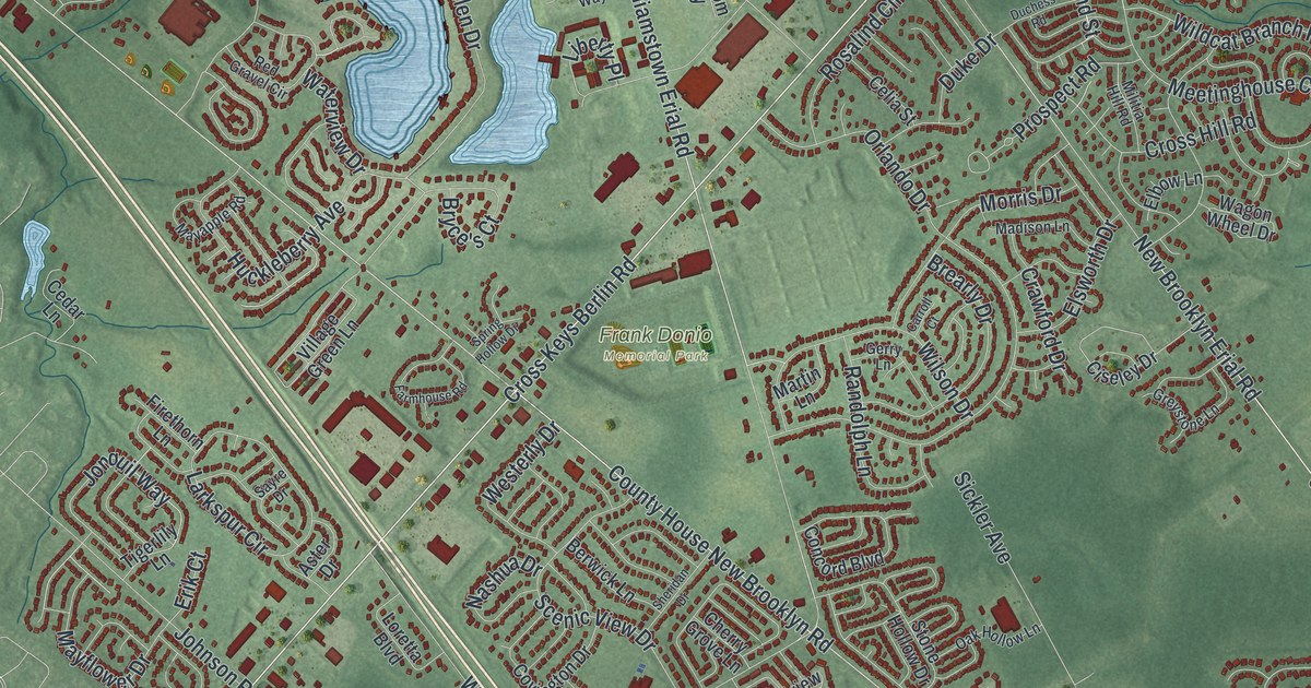
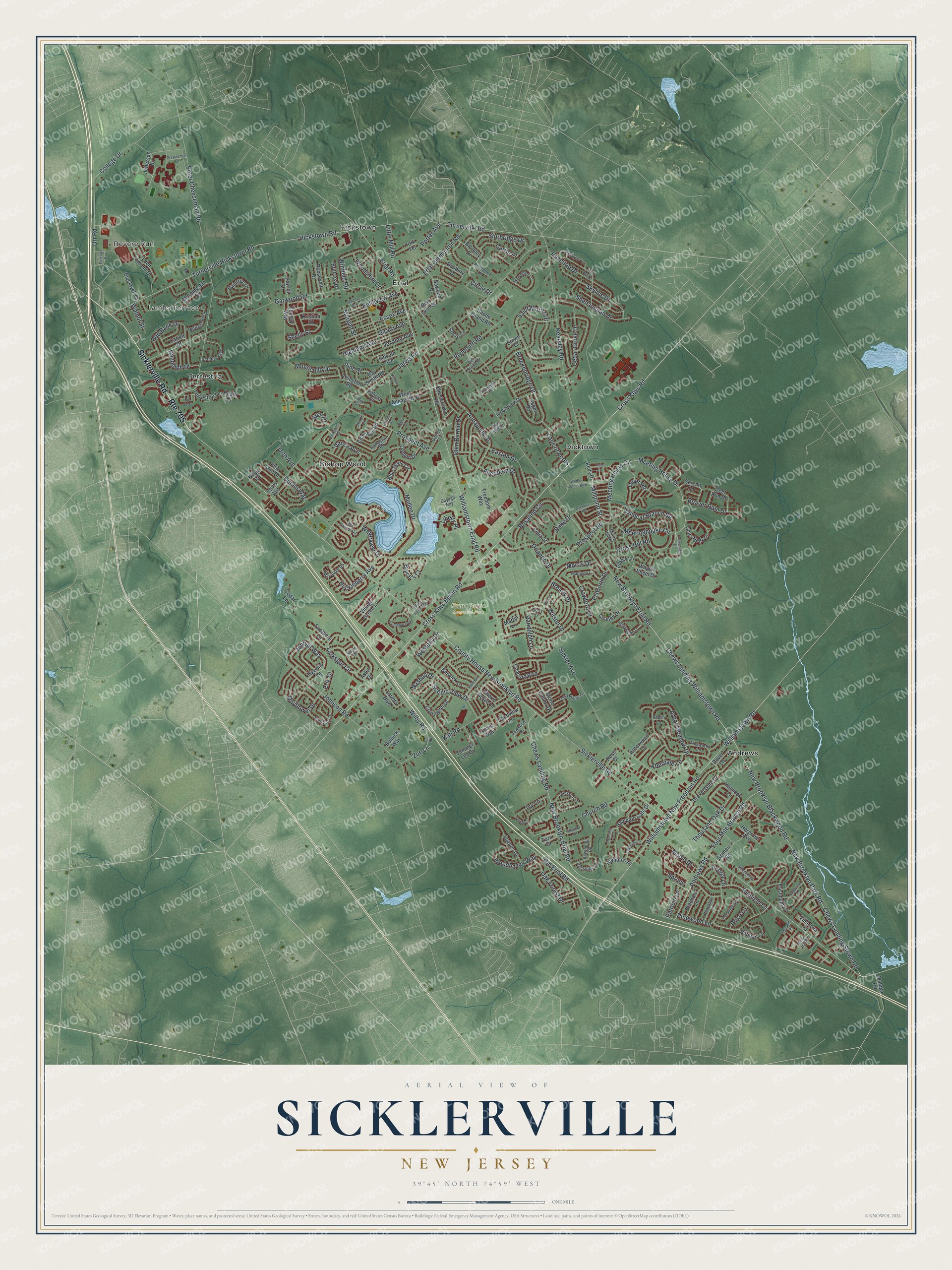
This beautifully detailed map of Sicklerville, New Jersey was created in 2026 using aerial imagery combined with modern topographical, census, street and landmark data. It’s a one-of-a-kind view of Sicklerville that combines accurate data with a vintage aesthetic. The map shows every building in its true location, many of the roads carry their names, and the shaded topographic relief shows the shape of the land.
Explore an aerial view of Sicklerville, New Jersey
On the map you’ll find Revere Run, Andrews, Bishop Wood, Dicktown, and Frank Donio Memorial Park, along with Sicklerville Road, New Brooklyn Erial Road, Cross Keys Berlin Road, Cross Keys Road, Chews Landing Stown Road, Lambs Terrace, and more. If you look closely you can even find your house accurately drawn in its correct location. Zoom in on the preview to look for yours.
Did You Know?
John Sickler founded this community in 1851. Back then, its land belonged to Gloucester Township. People first called the place Sickler Town. A post office opened in 1874, and Paul H. Sickler was named its first postmaster.
Take a closer look at the Sicklerville map
Names on this map
These names are printed on this map.
Places: Revere Run, Lambs Terrace, Frank Donio Memorial Park, Andrews, Bishop Wood, Dicktown, Erial, Hickstown and Terrestria.
Streets and roads: Route 705, Sicklerville Road, New Brooklyn Erial Road, Cross Keys Berlin Road, Cross Keys Road, Chews Landing Stown Road, Millpond Street, Annapolis Drive, Vance Avenue, Chews Landing Williamstown Road, New Brooklyn Blackwood Road, New Brooklyn Park Road.
More street names, A to Z
Aberdale Lane, Aberdeen Drive, Ainsworth Lane, Alberta Avenue, Andrews Road, Annie Way, Arbor Meadow Drive, Arborwood Lane, Arlington Road, Aspen Road, Aster Drive, Avella Lane, Beaver Dam Drive, Belleview Avenue, Berkshire Road, Berwick Lane, Blackwell Court, Blue Stone Circle, Brantley Way, Brearly Drive, Breckenridge Drive, Britt Lea Drive, Bromley Drive, Bryce's Court, Bullock Way, Carrie Place, Carr Lane, Carroll Court, Cattell Drive, Cayuga Way, Cedar Grove Drive, Cedar Lane, Celia Street, Cherry Grove Lane, Chestertown Road, Chews Landing Road, Chrissy Way, Church Road, Circle Drive, Ciseley Drive, Clubhouse Lane, Coachlight Drive, College Drive, Colts Neck Drive, Concord Boulevard, County House New Brooklyn Road, Covington Drive, Crawford Drive, Cross Hill Road, Damon Drive, Danbury Drive, Debbie Place, Deb Lynn Drive, Deer Run Drive, Del Sol Place, Del Sordo Drive, Dittess Lane, Dover Lane, Drexel Gate Drive, Duchess Road, Duke Drive, Dunlin Way, Eastmont Lane, Easton Drive, Edgeview Lane, Edinshire Road, Elbow Lane, Elizabeth Place, Elsworth Drive, Erial Clementon Road, Erial Road, Erik Court, Essex Avenue, Farmhouse Road, Felicia Court, Firethorn Lane, Four Mile Branch Road, Freedom Way, Freeway Drive, Garwood Road, Gerry Lane, Girard Avenue, Glen Burnie Drive, Greystone Lane, Grimes Road, Hampshire Road, Hampton Gate Drive, Hampton Place, Hargrove Avenue, Hartsdale Lane, Hawthorne Road, Hazeltop Drive, Heath Court, Heather Drive, Hemlock Lane, Heritage Hill Drive, Hickstown Road, Highland Avenue, Hopewell Lane, Huckleberry Avenue, Hyacinth Lane, Innsbruck Drive, Ivy Hall Lane, Ivy Lane, Jackson Lane, Jarvis Avenue, Jarvis Road, Jefferson Drive, Jerome Avenue, Jerrys Court, Johnson Road, Jonquil Way, Kali Road, Kearsley Road, Kelly Drive, Kenwood Drive, Kings Road, Kristian Drive, Lane of Acres, Larkspur Circle, Leanne Drive, Liberty Place, Lincoln Avenue, Little Mill Road, Loch Lomond Drive, Loretta Boulevard, Madison Lane, Malaga Road, Manor Hall Place, Maple Drive, Marseille Place, Martin Lane, Maryellen Lane, Mayapple Road, Mayflower Drive, Meadowrue Lane, Meeting House Circle, Meetinghouse Circle, Meeting House Drive, Militia Hill Road, Mill Court, Monticello Drive, Morgan Street, Morningstar Court, Morris Drive, Mullen Drive, Nashua Drive, New Brooklyn-Erial Road, Oak Forest Drive, Oak Hollow Lane, Old Erial Road, Orlando Drive, Orr Road, Orth Avenue, Parsons Court, Patricia Lane, Patriot Court, Peachton Lane, Peachtree Lane, Penfield Lane, Peoria Lane, Pershing Lane, Peter Cheeseman Road, Pine Glen Drive, Pine Street, Pinewood Lane, Pittman Lane, Plymouth Road, Pondview Lane, Porter Avenue, Presidential Drive, Price Lane, Pritchard Lane, Prospect Avenue, Prospect Road, Quiet Road, Raintree Drive, Randolph Drive, Randolph Lane, Ray Smith Road, Red Bank Drive, Red Gravel Circle, Rhode Island Road, Roosevelt Drive, Rosalind Circle, Rose Court, Saint Moritz Drive, Santalina Drive, Sawood Drive, Sayre Drive, Scenic View Drive, Serene Lane, Shelly Street, Shenandoah Drive, Sheridan Drive, Sherri Lane, Sickler Avenue, Skyline Drive, Spar Drive, Spring Hollow Drive, Spruce, Stone Hollow Drive, Stowe Court, Sturbridge Drive, Summer Lea Drive, Swift Run Drive, Tailor Lane, Tara Drive, Terrestria Lane, Thousand Oak Drive, Tigerlily Lane, Turnerville Hickstown Road, Turnerville Road, Village Green Lane, Villanova Court, Wagon Wheel Drive, Walnut Street, Waterview Drive, West Annapolis Drive, Westerly Drive, Wilby Road, Wildcat Branch Road, Williamstown Erial Road, Williamstown New Freedom Road, Williamstown Road, Wilson Drive, Wiltons Corner Boulevard, Winfield Road, Woodhaven Way, Woodshire Drive, Wye Mill Drive, York Terrace, Zoe Lane, Zoe Road.
See it on a wall
The Sicklerville map as an 18 x 24 inch print in a black frame.

This beautifully detailed map of Sicklerville makes an attractive addition to your office, library, or den, and it can even be used to teach children the geography and history of the area. It also makes a great gift for anyone with Sicklerville roots. When you’re done exploring, click here to get your copy of the Sicklerville map.